
Akvaryum
Akvaryum is a small south-facing inlet on the southern shore of Bozcaada, Türkiye, known for exceptionally transparent water, boulders, pebbles and a seabed that stays visible far from the shore.
On the southern shore of Bozcaada, a small Turkish island in the northern Aegean close to the Aegean entrance of the Dardanelles, the coastline breaks into a series of small inlets. One of them, known locally as Akvaryum, opens to the sea between two low rocky points. The name refers to the water itself: it is unusually transparent, and the seabed remains visible well out from the shore, which is why the place is associated with swimming and with looking below the surface using a mask and snorkel.
A South-Facing Inlet on the Island's Coast
Akvaryum lies on the southern edge of Bozcaada, in the stretch of coast that runs along the island's lower shore in the vicinity of the Ayazma area. The bay is small and compact, a shallow crescent pressed into a shoreline otherwise dominated by stone. Its mouth faces south, which gives it a character distinct from the more exposed northern coast of the island: the prevailing northerly summer winds arrive over Bozcaada's low interior and lose much of their strength before reaching this side.
The island itself is low and rounded rather than mountainous, and the southern coast follows that profile. The headlands here are modest, rising only a short distance above the water, so the inlet never feels enclosed by high ground. Instead, the horizon stays open to the south, and the view is dominated by the sea and by the pale line of the shore.
The Water and the Seabed
The defining feature of Akvaryum is the clarity of its water. Light-coloured sand and pale, weathered stone on the bottom reflect light back through the water column, which is why the sea here reads as bright turquoise in the shallows and deepens into a saturated blue a short distance offshore. Because the bottom is clearly visible, the shape of the seabed — sand in pockets, darker rock ridges, scattered boulders — can be followed with the eye from the shore.
The seabed slopes gently at first, then drops more noticeably toward the outer part of the bay. This gradual shelf near the shoreline creates a wide band of shallow water where the bottom stays easy to see, while further out the colour changes quickly and the water takes on a deeper tone. The combination of bright shallows and a darker outer edge is what gives the inlet its visual contrast.
Rock, Pebble and Sand at the Shoreline
The shoreline of the bay is mixed. Large rounded boulders, grey and sometimes almost black where they are wet, sit along the edges of the inlet and form the two points that frame it. Between and around these rocks the beach surface consists of pebbles and coarse gravel, with patches of sand whose extent varies as winter waves rearrange the material along the shore.
Entry into the water is therefore mostly over stone and pebble rather than soft sand. In places the rock shelves extend into the shallows, creating flat platforms at the water's edge. These stone surfaces, together with the clear water, are the main reason the bay is used for observing the seabed: the rocky margins and the scattered boulders offshore provide structure that holds small marine life close to the shore.
The Surrounding Landscape
Behind the beach the ground rises in gentle steps rather than sheer cliffs. The slopes are covered with the low, dense vegetation typical of the northern Aegean: grey-green scrub, low shrubs and dry grasses that turn golden in summer. Bozcaada is also an agricultural island, and the hinterland of the southern coast is a patchwork of small fields and vineyards that reach close to the shoreline in places, giving the coastal landscape a cultivated edge alongside its natural scrub.
There are no tall trees along the immediate edge of the bay, so the view from the water looks back onto open, sunlit slopes and a low skyline. The absence of high vegetation keeps the visual character of the place simple and horizontal, with the sea occupying most of the frame and the land reduced to a narrow band behind the stones.
Light, Wind and Atmosphere
Because the bay faces south, it receives direct sun for most of the day. In the morning the water appears pale and green-tinged over the sandy shallows; by afternoon, with the sun higher, the contrast between the bright bottom and the deeper blue offshore becomes stronger. Late in the day the boulders along the points hold the warmth of the sun and take on a darker, warmer tone against the water.
Winds from the north, common in the Aegean during summer, generally reach this shore weakened by the island's low interior, while southerly weather brings a heavier swell that can stir the water and reduce the transparency that gives the bay its name. The surface of the inlet therefore changes noticeably with the weather, from almost glass-like stillness to a choppier, greener sea.
Reaching the Shore
Akvaryum is approached from the coastal road that follows Bozcaada's southern shore, in the section of coast around the Ayazma area. The final stretch is on foot, over uneven stony ground and rock near the water's edge, so the last part of the approach is not a smooth surface. The bay has no harbour or built structure of its own; the shoreline remains a natural one of stone, pebble and sand, with the sea immediately in front and the island's low hills behind.
Remarkable places
All places →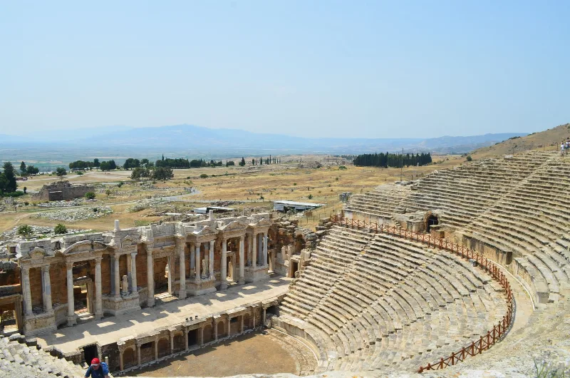
Letoon
Letoon is a Lycian sanctuary near Xanthos in Muğla Province, dedicated to Leto, Artemis and Apollo. Its three temples, theatre and trilingual inscription make it one of southwestern Turkey’s most significant archaeological sites.
Explore →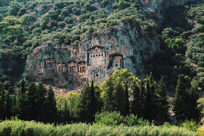
Kaunos
Kaunos is an ancient Carian city on the Dalyan River in Muğla Province, known for its temple-style rock-cut tombs and the extensive ruins of a harbour that silted up centuries ago.
Explore →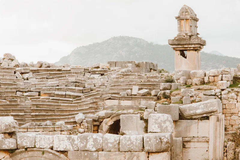
Xanthos
Xanthos is an ancient Lycian city in Antalya Province and a UNESCO World Heritage Site, known for its Lycian tombs, Roman theatre and role as a leading city of Lycia.
Explore →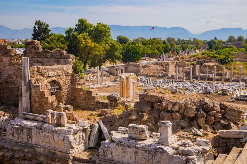
Phaselis
Phaselis is a Rhodian-founded port city on the eastern Lycian coast, where paved streets, agoras, baths and a small theatre stand among pines between three sheltered bays.
Explore →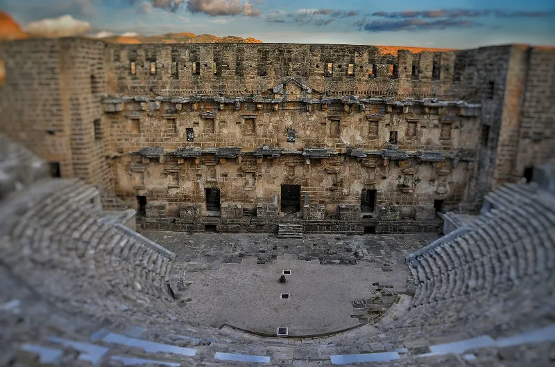
Aspendos
Aspendos is a Pamphylian ancient city near Serik in Antalya Province, dominated by a second-century Roman theatre that survives almost intact. Its aqueduct, acropolis and lower-city ruins sit in the flat farmland of the Köprüçay plain.
Explore →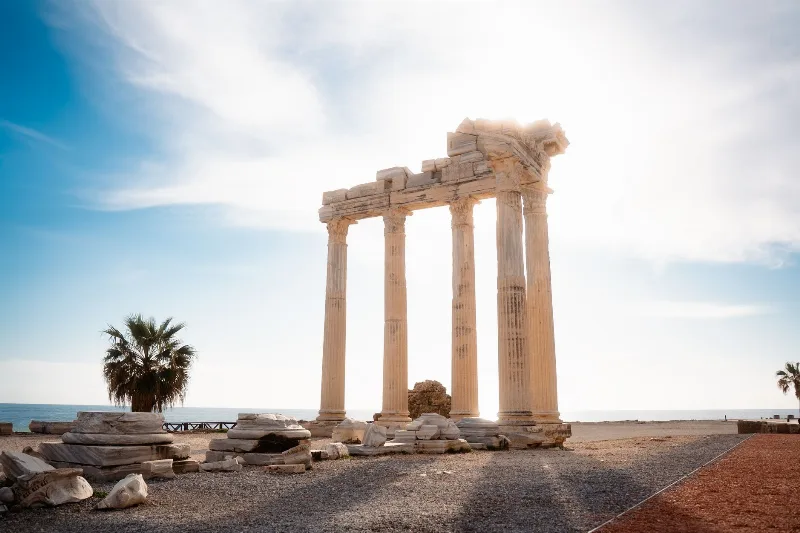
Side
Side is an ancient Greek harbour city on Türkiye's Mediterranean coast, known for the Temple of Apollo, a large Roman theatre and streets of ruins that visitors can still walk through. Its remains sit inside a modern town in the Manavgat district of Antalya Province.
Explore →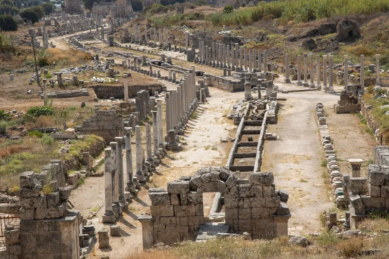
Perge
Perge is an ancient Pamphylian city east of Antalya, whose Hellenistic gates, colonnaded streets, theatre and exceptionally well-preserved stadium make it one of the most legible Roman-era sites in southern Turkey.
Explore →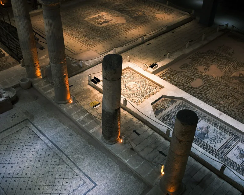
Zeugma
Zeugma was a twin Roman city on the Euphrates in Gaziantep Province, famous for the mosaics recovered from its riverside villas. Here is what the site is, what survives, and what to know before visiting.
Explore →Related content
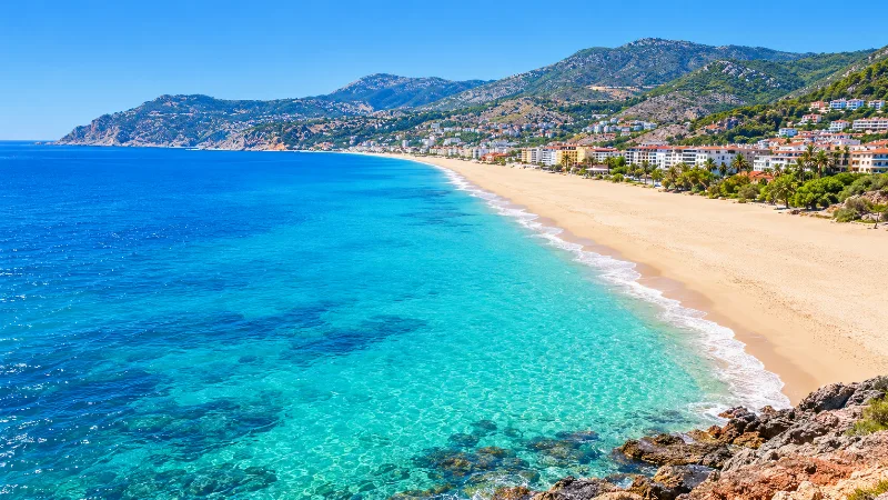
Damlataş
A short, sandy Mediterranean shoreline at the foot of Alanya's limestone headland, taking its name from the cave in the rock above it.
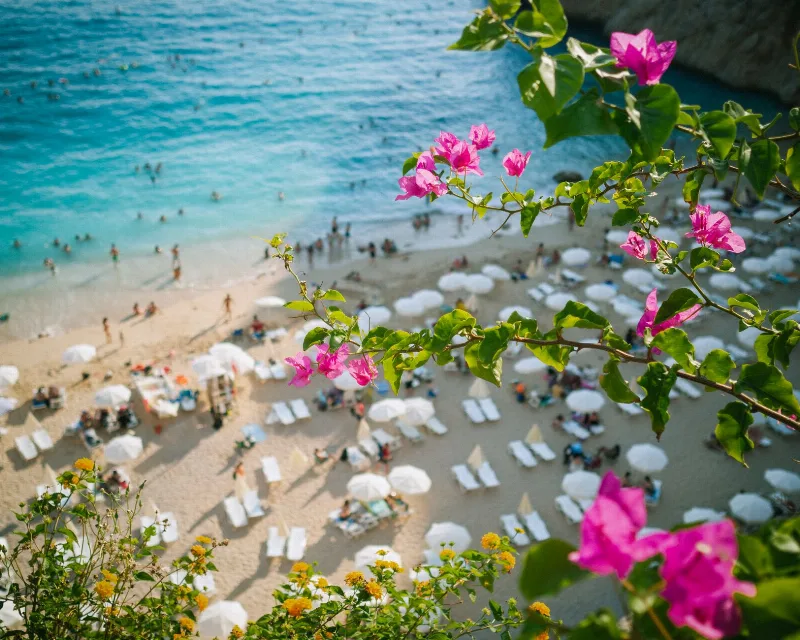
Kalkan Beach
Kalkan Beach is a small pebble shore on Türkiye's Lycian coast, where clear Mediterranean water meets a stony bay beneath steep coastal hills.
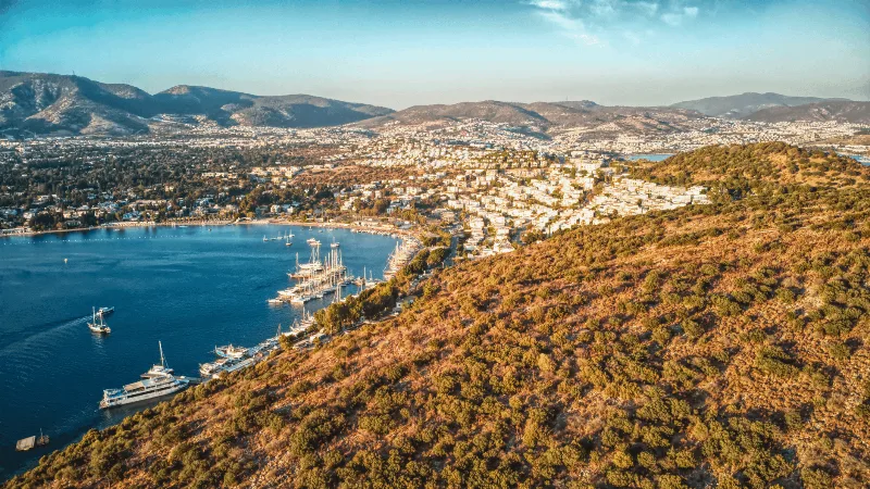
Gümüşlük
Gümüşlük is a sheltered Aegean inlet on the western side of the Bodrum Peninsula, where a shallow bay, a narrow sand spit and a small offshore island shape a distinctive shoreline.
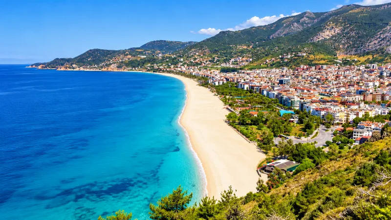
Kleopatra Beach
Kleopatra Beach is a long arc of golden sand on the Mediterranean coast at Alanya, Türkiye, where fine grains meet clear water beneath rocky headlands and wooded hills.
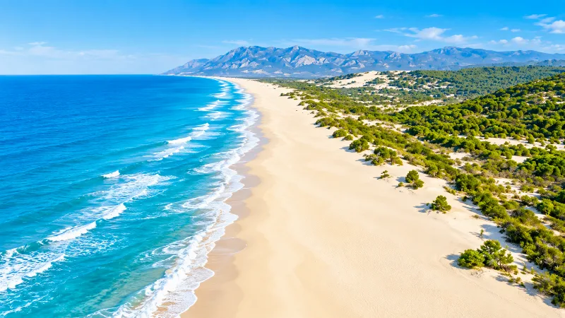
Patara
Patara is a long, wide sandy beach on Türkiye's Lycian coast, backed by dunes and a shallow wetland, where the open Mediterranean meets a protected coastal landscape.
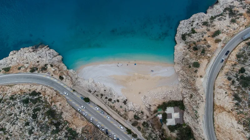
Kaputaş
Kaputaş is a small but stunning beach located between Kalkan and Kas, renowned for its crystal-clear turquoise waters and unique roadside access.