
Kaunos
Kaunos is an ancient Carian city on the Dalyan River in Muğla Province, known for its temple-style rock-cut tombs and the extensive ruins of a harbour that silted up centuries ago.
Kaunos is an ancient city on the edge of the Dalyan River in the Ortaca district of Muğla Province, in south-west Turkey, a few kilometres inland from the Mediterranean coast. The ruins stand on the western side of the river, directly opposite the modern town of Dalyan, on a low ridge that rises out of the flat wetland of the Dalyan Delta. The site is significant for two reasons that visitors notice immediately: a group of temple-style tombs cut directly into the limestone cliff face above the river, and a large, unusually readable set of city ruins — theatre, baths, streets, walls and harbour structures — that show how a major port was laid out and how it eventually lost the water that had made it wealthy.
Where Kaunos Sits in the Landscape
The city occupies a position that was once almost an island or a peninsula, set between the river channel and a sheltered inlet that served as its harbour. Today that inlet is a quiet, reed-fringed expanse of water connected to the delta marshes, and the land between it and the river is low, damp and green. Behind the ruins the ground climbs to a rocky ridge, the acropolis, which carries the remains of fortification walls and gives a wide view over the delta, the river meanders and the town of Dalyan on the far bank.
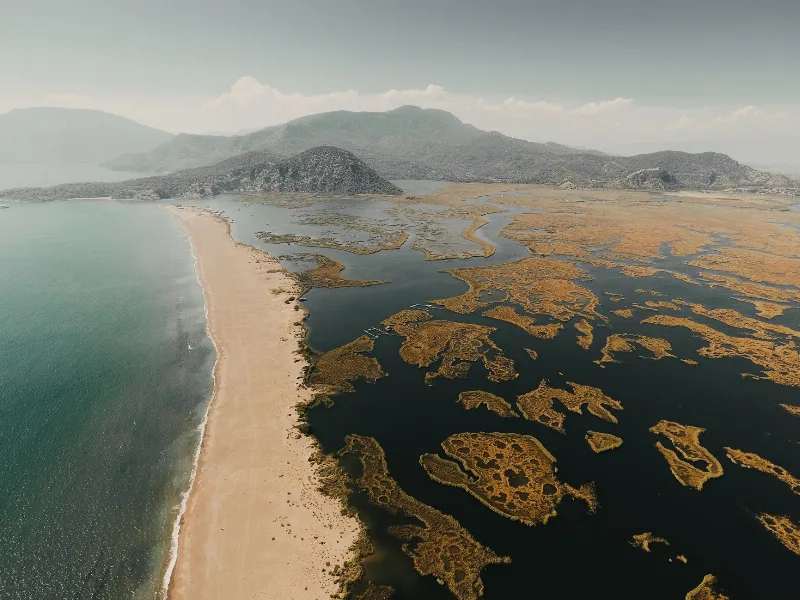
Administratively the site lies within Muğla Province, close to the boundary of the Ortaca and Köyceğiz districts. The surrounding landscape is a protected wetland: the Dalyan Delta, with its reed beds, brackish channels and sandbanks, is one of the most important coastal ecosystems on this stretch of the Turkish Mediterranean. This matters for how the ruins feel — Kaunos is not a dry, isolated archaeological mound but a set of stone structures embedded in a wet, working landscape of water and vegetation.
A Carian City With One Foot in Lycia
Kaunos was a Carian settlement, and its population, the Kaunians, were counted among the Carian peoples of south-western Anatolia. Its position is what made it distinct: it sat at the meeting point of Caria and Lycia, so its architecture, script and burial customs show influences from both cultural zones. The tombs carved into the cliff, for example, follow a Lycian tradition of imitating the form of a temple facade in solid rock, even though the city itself was Carian.
The city's wealth came from trade and shipping, and from its role as a port on a river that connected the inland valleys around Köyceğiz with the sea. Ancient writers mention Kaunos in connection with regional politics and with the harbour dues and taxes that supported it. The city had its own civic institutions, its own coinage and a religious life centred on local cults, including one dedicated to a founding or protective deity of the city.
What happened to Kaunos is a story of slow environmental change rather than a single catastrophe. The river carried sediment down from the interior, and over centuries the harbour basin, along with the channel that linked it to the open sea, filled in. As the water retreated, the port lost its function. Attacks, disease and the gradual silting of the delta combined to reduce the population, and by the later medieval period the city had been abandoned. The ruins were left largely undisturbed, which is why so much of the street plan and so many of the buildings remain legible today.
The Rock-Cut Tombs Above Dalyan
The most photographed feature of Kaunos is not inside the city at all. A cluster of tombs is carved into the near-vertical cliff face on the western bank, high above the river, and they are visible from Dalyan itself — across the water, lit up in the evening, and clearly readable as architecture even from a distance.
These are chamber tombs cut into the rock with facades shaped like small temples, complete with pediments, columns and side panels. Inside, a doorway leads to a burial chamber. They were made for wealthy Kaunian families, and their style imitates the monumental tombs of Lycia rather than the simpler rock graves found elsewhere in Caria. The cliff location is deliberate: high, visible from the water and from the city below, and difficult to reach — a statement of status as much as a burial place. The tombs are not generally open for visitors to enter, and the slope beneath them is steep and unstable, so they are best appreciated from below or from the river.
What Survives Inside the City
The excavated area is larger than many visitors expect, and the buildings are spread across a sloping site rather than gathered in a single square. Among the structures that can be seen:
- A theatre built into the slope below the acropolis, with seating rows still in place and a view out over the delta.
- Roman-era baths, with the surviving walls showing the layout of the heated and cold rooms.
- A broad, straight street and a stoa area that indicate the shape of the civic centre.
- Remains of temples, a possible shrine and public buildings on and around the acropolis.
- Foundations of the harbour-side structures, now stranded far from any navigable water.
- Sections of the circuit wall that once enclosed the city, running along the ridge line.
- A Byzantine-era church, evidence of the settlement's later, much reduced life.
Stone surfaces throughout the site are worn and uneven, and many walls are preserved only to knee or waist height. This is an archaeological landscape rather than a reconstructed monument, and reading it requires some imagination — which is exactly why the theatre, the street plan and the harbour basin are so valuable: they let a visitor reconstruct the shape of the city from the surviving outline.
Getting There and Moving Around
Kaunos is reached either by water or by road. Boats cross from Dalyan to a landing point on the western bank, from which a short walk and a climb lead to the ticket entrance and the main path network. The land route approaches from the Köyceğiz side, following the road around the delta and then turning onto a track to the site. Because the site sits on a slope, both approaches involve walking uphill.
Paths inside the site are partly paved and partly rough earth and stone, with steps in places and no continuous handrails. The climb from the entrance to the theatre and the acropolis is the most demanding section. Sturdy shoes, water and sun protection are more useful here than any piece of equipment. There is little shade across most of the excavated area, and the reflective limestone makes the heat feel stronger than the air temperature suggests.
Seasons, Heat and Water Levels
The Muğla coast has hot, dry summers and mild, wet winters. For walking an exposed archaeological site, spring and autumn are the most comfortable periods: temperatures are moderate, the ground is usually firm and the vegetation is at its most varied. Midsummer visits are possible but should be planned for early morning or late afternoon, and the climb to the acropolis should not be attempted in the middle of a hot day.
Winter brings rain and occasionally slippery stone, but the site is quieter and the delta looks different — greener, with more water in the channels and more birdlife in the marshes. Whatever the season, the wetland setting means mosquitoes can be present near the water in the warmer months.
Things Worth Knowing Before You Go
The site is an active excavation, and some areas may be fenced or closed for work. The tombs on the cliff are viewed from a distance rather than visited, and climbing toward them is neither permitted nor safe. There are no shops or facilities within the ruins, so supplies should be arranged in Dalyan before crossing. Cash and cards are typically handled at the entrance, but it is sensible to check locally, as arrangements at Turkish archaeological sites change from season to season.
Allow at least two hours for a proper visit, and considerably more if you intend to walk the full circuit, climb to the acropolis and read the information panels carefully. Photography from the theatre and the ridge is best in low light.
Nearby Places That Fit the Same Trip
Dalyan itself, directly across the river, is the natural base for a visit, and the town's waterfront faces the tombs. South of Dalyan the river reaches İztuzu Beach, a long sand spit where the delta meets the sea. Inland, the channel opens into the large, brackish expanse of Köyceğiz Lake, surrounded by hills and reachable from the town of Köyceğiz. The wider district includes Ortaca, and the region connects easily with Sarıgerme and Dalaman further south-east, or with the Muğla hinterland to the north. Together these form a coherent day or two of landscape and archaeology rather than a single stop.
Related content
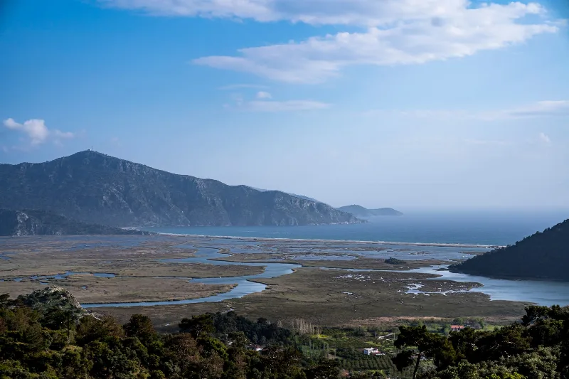
Muğla
Muğla is a captivating province in southwestern Türkiye, renowned for its stunning Aegean coastline and rich cultural heritage.
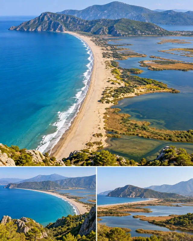
İztuzu Beach
A long sandy beach near Dalyan where the Mediterranean Sea meets the wetlands and waterways of the Köyceğiz-Dalyan system.
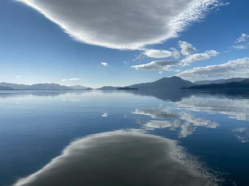
Köyceğiz Lake and Hot Springs
A guide to Köyceğiz Lake in Muğla, its mineral hot springs, the Dalyan channel, İztuzu Beach and the wetland landscapes of southwestern Türkiye.
4-Day Marmaris and Dalyan Route
A four-day linear route that starts in Marmaris, crosses the Gulf of Gökova and Lake Köyceğiz, and ends around the river, rock tombs and turtle beach of Dalyan.
Dalyan Rock Tombs and River Reed Boats in Muğla
Dalyan in Muğla pairs ancient Lycian tombs carved into a cliff with a slow, reed-fringed delta where flat-bottomed boats still carry passengers between lake, river and sea.
6-Day Mediterranean Coast Route: Antalya to Marmaris
A six-day linear route along Türkiye's Mediterranean coast, linking Antalya, Olympos, Demre, Kekova, Kaş, Kalkan, Patara, Fethiye and Dalyan before finishing in Marmaris. It mixes ancient cities, long beaches and small harbour towns on a continuous westward drive.