
Gümüşlük
Gümüşlük is a sheltered Aegean inlet on the western side of the Bodrum Peninsula, where a shallow bay, a narrow sand spit and a small offshore island shape a distinctive shoreline.
Gümüşlük sits on the western side of the Bodrum Peninsula in Muğla Province, on the Aegean coast of Türkiye. The name of the locality is linked to the Turkish word for silver, a reference often connected to the pale, metallic shimmer the sea takes on in certain light. What defines the place geographically is a single, well-enclosed bay: a wide arc of water held between low hills, with a narrow spit of sand running out from the shore towards a small island just offshore. Sand, pebbles and rock all meet the water along this curve, and the resulting shoreline gives the bay a character that is neither a long open beach nor a tightly enclosed rocky cove, but something between the two.
The Shape of the Bay
The bay opens towards the open Aegean and folds back into the land on its southern and eastern sides, so that part of the shoreline faces the sea while the rest is tucked behind the shelter of the surrounding slopes. The water is broadest near the mouth and narrows towards the inner end, where the sea meets a flatter stretch of shore. Because the inlet is partly closed by land, the surface of the water is generally calmer than the exposed coast beyond it, and the bay reads as a single, legible landscape rather than a series of separate coves.
The most distinctive line in this landscape is the sand spit. It extends from the main shoreline towards the island offshore and effectively divides the bay into two parts: an outer section facing the open water and an inner section lying behind the spit. The spit is low, built of pale sand mixed with broken shell and small stone, and its edges shift with the movement of the sea.
The Water
The bay is shallow over a considerable distance from the shore, and the seabed shelves gently rather than dropping away. This shallowness is the single most important feature of the water here: it determines its colour, its temperature and the way light behaves on its surface. Over sand the water appears pale and green-tinted; over patches of rock and seagrass it turns to deeper shades of blue and green. On calm days the surface is almost unbroken, reflecting the sky and the surrounding hills, while a wind from the Aegean produces a short, choppy movement rather than a long swell.
Sand, Pebbles and Rock
The shoreline of Gümüşlük is mixed rather than uniform. Sections of pale sand alternate with stretches where pebbles and small stones cover the ground, and in other places low rock platforms meet the water directly. The sand itself is light in colour, fine in some areas and coarser in others where fragments of shell and stone are mixed into it. Towards the ends of the bay the sand gives way to rougher ground, and the transition between the two is gradual rather than abrupt.
The Island Offshore
A small island lies close to the mouth of the bay and forms the visual anchor of the whole inlet. It is low and rocky, covered with dry scrub, and from the shore it appears to sit at the end of the sand spit, so that the two together seem to close the bay. The gap between the island and the spit is narrow, and the water passing through it is shallow. The island's profile is gentle rather than dramatic; it rises only a short distance above the sea and is coloured in the same grey-brown and dusty green tones as the hills behind the bay.
Hills, Scrub and Vegetation
The land around the bay rises into low hills that slope down towards the water on both sides. The vegetation is typical of the Aegean coast: dry, low and adapted to the local climate. Scrub, small shrubs and scattered trees cover the slopes, with olive trees appearing where the ground is more sheltered. In spring the hillsides carry a brief flush of flowering plants, and by late summer the same slopes have faded to a uniform dusty tone. The hills are not high enough to feel mountainous, but they are steep enough to contain the bay visually and to frame the view across the water.
Colour and Light
Because the inlet opens towards the north-west, it receives the full arc of the day's light, from the pale early hours to the long evening. The combination of shallow water, pale sand and dry hills produces a specific palette: silver, soft green and dusty brown. It is this quality of light over calm, shallow water that has shaped the way the locality is described, and it is most evident when the sea is still and the surface reflects the sky without interruption.
Remains Beneath the Surface
Part of the underwater floor of the bay carries archaeological remains associated with the ancient settlement that once stood on this coast. Traces of stone foundations, walls and other structures lie below the waterline close to the shore, and some fragments can be seen through the shallow water from the surface. These remains are not presented as a monument but form part of the seabed itself, mixing natural rock and sand with worked stone. They add a further layer to the appearance of the shallows, where pale sand is interrupted by darker, more regular shapes.
Reaching the Shoreline
The bay is reached by a road that follows the western shore of the peninsula, and the approach to the water is direct: the shoreline sits at roughly the level of the surrounding land rather than beneath cliffs. This low, open relationship between land and sea is part of the character of the bay. The flatter ground behind the shore and the gentle slope of the seabed together give the inlet its open, unhurried feel, in contrast to the steeper and rockier stretches of coast found elsewhere on the Bodrum Peninsula.
Remarkable places
All places →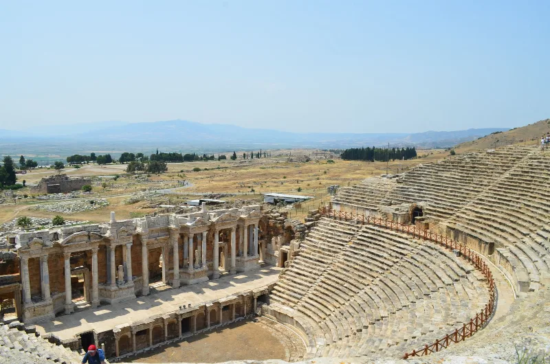
Letoon
Letoon is a Lycian sanctuary near Xanthos in Muğla Province, dedicated to Leto, Artemis and Apollo. Its three temples, theatre and trilingual inscription make it one of southwestern Turkey’s most significant archaeological sites.
Explore →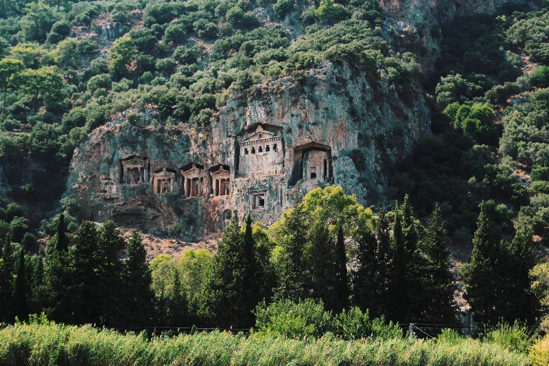
Kaunos
Kaunos is an ancient Carian city on the Dalyan River in Muğla Province, known for its temple-style rock-cut tombs and the extensive ruins of a harbour that silted up centuries ago.
Explore →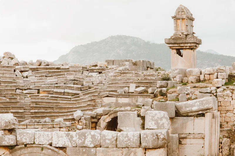
Xanthos
Xanthos is an ancient Lycian city in Antalya Province and a UNESCO World Heritage Site, known for its Lycian tombs, Roman theatre and role as a leading city of Lycia.
Explore →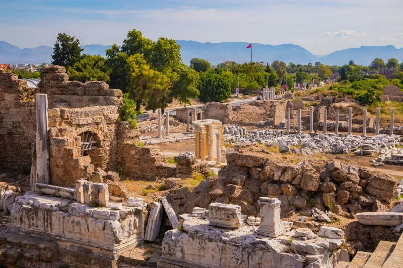
Phaselis
Phaselis is a Rhodian-founded port city on the eastern Lycian coast, where paved streets, agoras, baths and a small theatre stand among pines between three sheltered bays.
Explore →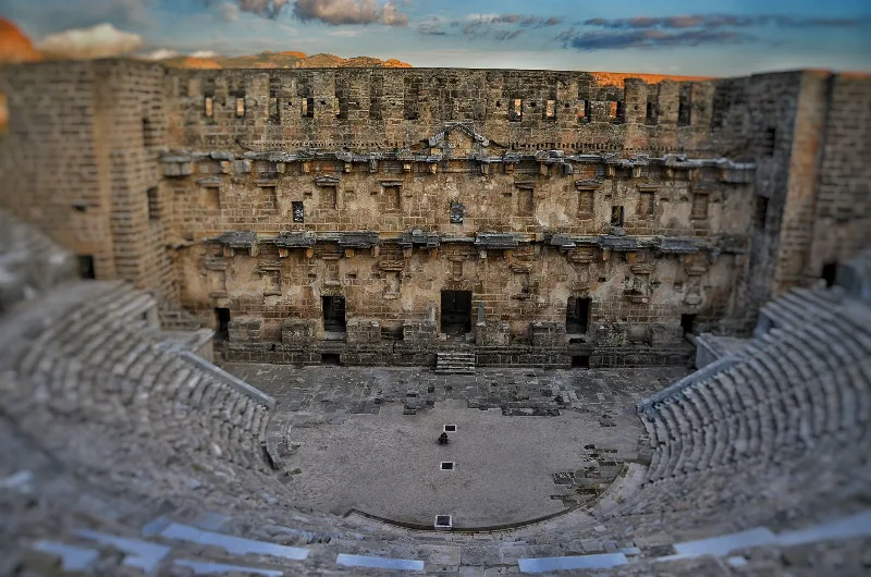
Aspendos
Aspendos is a Pamphylian ancient city near Serik in Antalya Province, dominated by a second-century Roman theatre that survives almost intact. Its aqueduct, acropolis and lower-city ruins sit in the flat farmland of the Köprüçay plain.
Explore →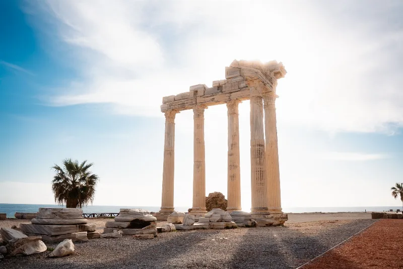
Side
Side is an ancient Greek harbour city on Türkiye's Mediterranean coast, known for the Temple of Apollo, a large Roman theatre and streets of ruins that visitors can still walk through. Its remains sit inside a modern town in the Manavgat district of Antalya Province.
Explore →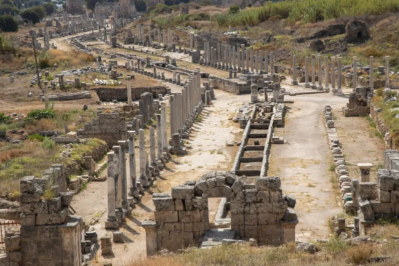
Perge
Perge is an ancient Pamphylian city east of Antalya, whose Hellenistic gates, colonnaded streets, theatre and exceptionally well-preserved stadium make it one of the most legible Roman-era sites in southern Turkey.
Explore →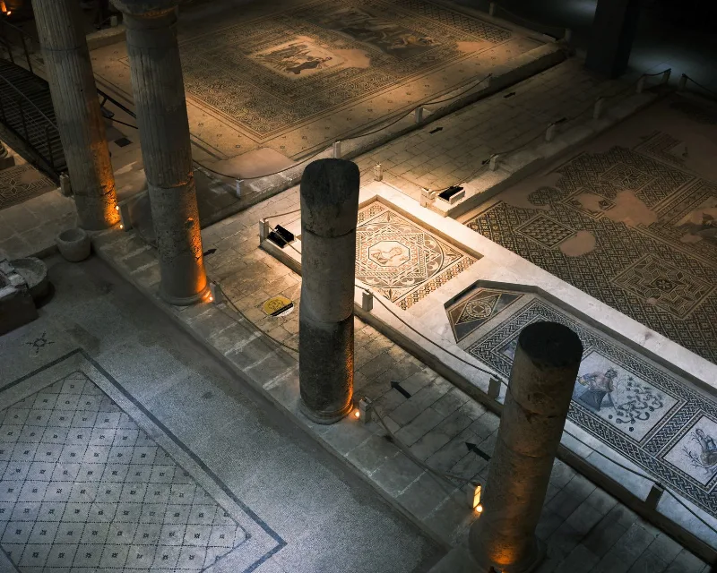
Zeugma
Zeugma was a twin Roman city on the Euphrates in Gaziantep Province, famous for the mosaics recovered from its riverside villas. Here is what the site is, what survives, and what to know before visiting.
Explore →Related content
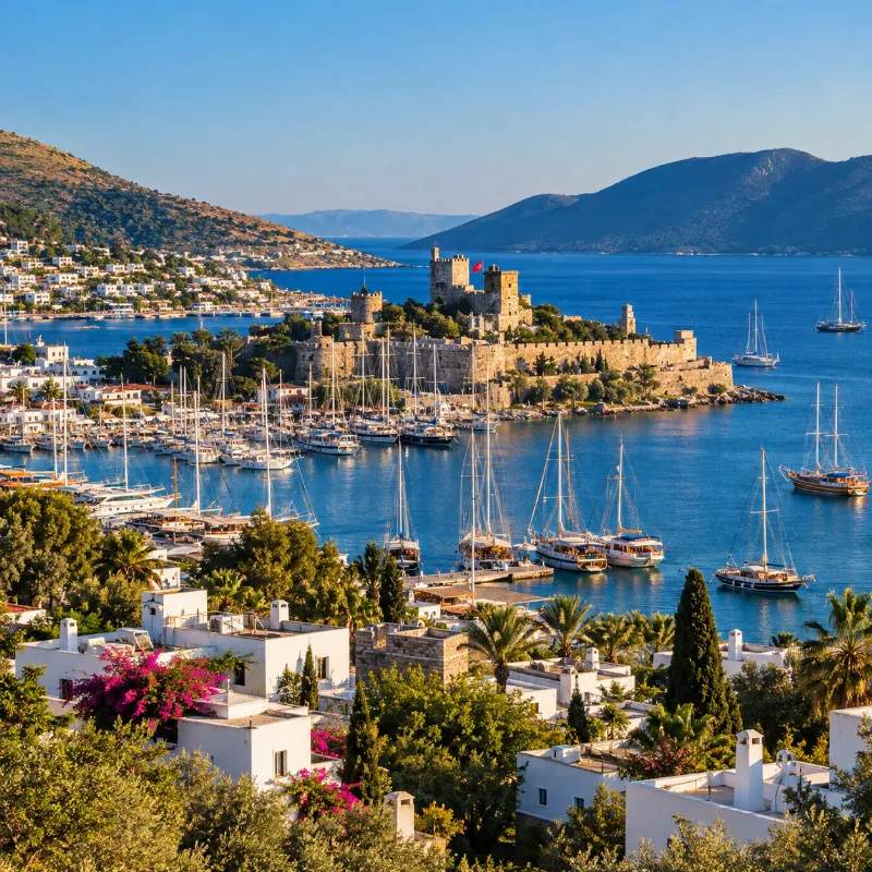
Bodrum
Bodrum is a coastal district of Muğla Province known for its whitewashed architecture, castle, Aegean coastline, bays and ancient Halicarnassus heritage.
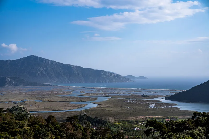
Muğla
Muğla is a captivating province in southwestern Türkiye, renowned for its stunning Aegean coastline and rich cultural heritage.
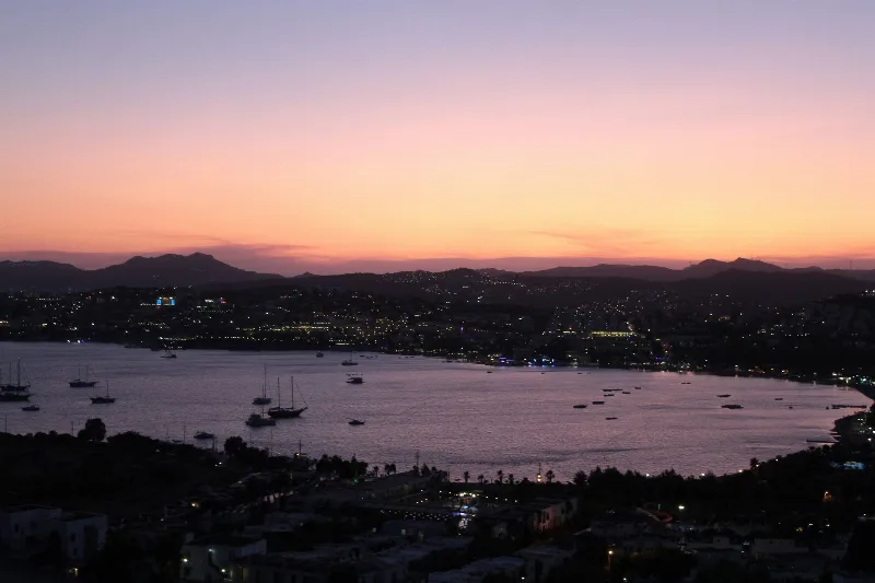
Gümüşlük
Gümüşlük is a former fishing village on the western tip of the Bodrum peninsula in Muğla, Türkiye, built over the ancient city of Myndos and known for its sunset views across the bay and its seafood culture.
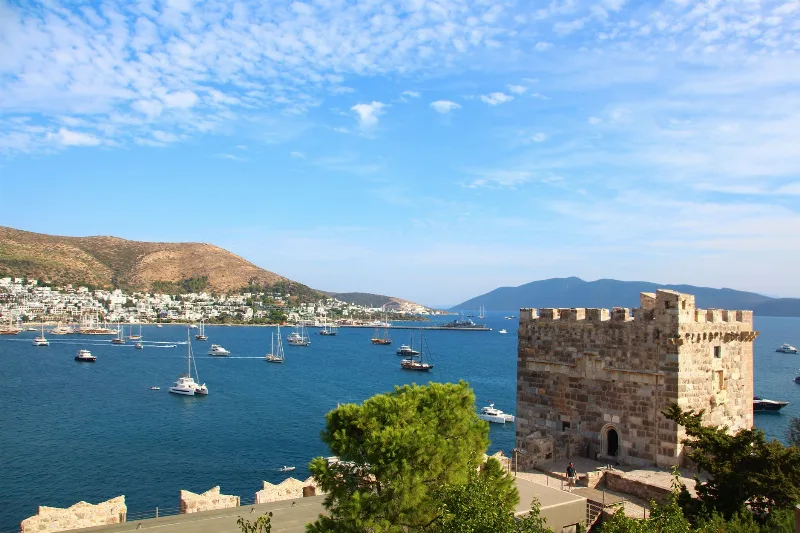
5-Day Bodrum Peninsula Route
A five-day circular drive around the Bodrum Peninsula that links the historic core of Bodrum with the southern shore village of Gümüşlük, the western town of Turgutreis and the northern villages of Yalıkavak, Göltürkbükü and Torba.
Yalıkavak
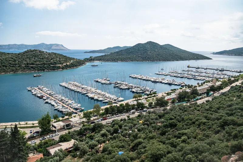
Yalıkavak is a coastal neighbourhood of Bodrum district in Muğla Province, on the northern shore of the Bodrum Peninsula. It is known for its large marina, a group of old stone windmills on the ridge above the bay, and a town centre that still carries traces of its fishing-village past.
Sailing Adventures in Bodrum
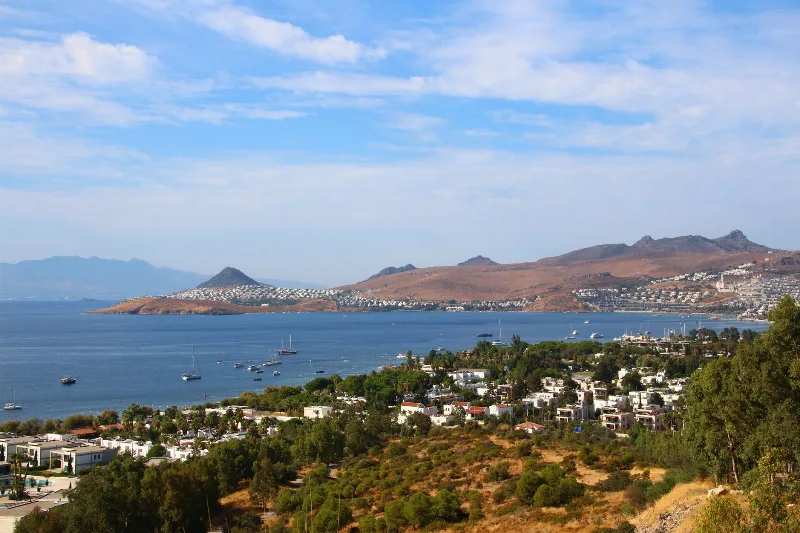
Bodrum's peninsula on the Aegean coast of Türkiye offers sheltered bays, steady summer winds and a coastline shaped by ancient ruins and a long boatbuilding tradition.