
Ani
Ani is a ruined medieval city on a basalt plateau in Kars Province, eastern Turkey, once a major Silk Road centre and now a UNESCO World Heritage Site known for its churches, cathedral and walls.
Ani is a ruined medieval city located in Kars Province in eastern Turkey, on a plateau immediately beside the closed border with Armenia. The settlement sits above the Arpaçay (Akhurian) River, which cuts a deep gorge along the site's western and southern edges and today marks the frontier between the two countries. Ani was one of the largest and wealthiest cities of the medieval Caucasus and a significant stop on the Silk Road, and it was inscribed on the UNESCO World Heritage List in 2016. What survives is an extensive field of stone ruins: a cathedral, several churches, a mosque, sections of fortified walls and the remains of a dense urban fabric, all built largely from the dark local basalt and pale tuff.
Where Ani Stands and How the Landscape Shaped It
The site occupies a triangular plateau that is naturally defended on its eastern and southern sides by the gorge of the Arpaçay. The only approach over level ground is from the north and west, which is why the medieval city was walled along those sides. The river below forms a sharp natural boundary, and the far bank lies in Armenia. Because of this position, the city controlled a crossing point and a stretch of route between the Anatolian plateau and the South Caucasus.
The plateau itself is high, windswept and largely treeless. Summers are dry and bright; winters are long, cold and snowy. This exposed setting is part of what a visitor sees today: ruins standing in open grassland, with the gorge dropping away abruptly at the edge of the site and distant Armenian hills visible across the valley.
Ani as a Silk Road Capital
Ani rose to prominence as a capital of the medieval Armenian kingdom of the Bagratids around the turn of the eleventh century. Its position on trade routes running between the Byzantine world, Persia and the Caucasus brought wealth, and contemporary accounts describe a large, densely built city with a substantial population, workshops and markets. That prosperity paid for the ambitious stone architecture that still defines the site.
The city's prominence also made it a target. It changed hands repeatedly over the following centuries, passing under Byzantine, Seljuk, Georgian and later Mongol and Turkmen control. A major earthquake in the fourteenth century, followed by shifting trade routes and repeated warfare, contributed to its decline. By the early modern period Ani had been largely abandoned, leaving the buildings to erode on the plateau.
The Monuments That Survive at Ani
Ani is unusual among archaeological sites for the number and variety of standing structures spread across a single, walkable area.
- The Cathedral of Ani, dedicated to the Holy Mother of God, was begun in the late tenth century and completed in the early eleventh. It is a domed basilica with a pointed, almost Gothic-looking profile, and it remains the most recognisable structure on the site. Its architect, Trdat, is also associated with repairs to the dome of Hagia Sophia in Constantinople after earthquake damage.
- The Church of the Redeemer, built in the eleventh century, is famed for its circular, multi-apsed plan. Part of it collapsed in the twentieth century, and the surviving half now stands as a dramatic, open shell.
- The Church of St Gregory of Tigran Honents, dating from the early thirteenth century, stands near the gorge edge and preserves some of the site's most complete interior frescoes.
- The Church of the Holy Apostles is a later medieval church that was converted for use as a mosque, reflecting the layered religious history of the city.
- The Menüçehr Mosque, built in the second half of the eleventh century after the Seljuk conquest, is one of the earliest surviving mosques in Anatolia.
- Fortifications and gates, including stretches of the city wall and the gateways that controlled access from the north and west.
Beyond these headline monuments, the plateau is scattered with the footings of houses, churches, bath buildings and other structures that together convey how large and complex the city once was.
Architecture and Building Materials
Ani's buildings are constructed from local volcanic stone. Dark basalt was used for walls and foundations, while lighter tuff appears in decorative elements, which creates the two-tone appearance visible in many of the ruins. The architecture combines Armenian church traditions with influences absorbed from Byzantine, Georgian and Seljuk building practice, which is one reason the site is studied as a meeting point of medieval architectural styles rather than as a single tradition.
Much of what remains is roofless or partially collapsed. Interior painted decoration survives in only a few places and is fragile. Visitors should expect ruins rather than intact monuments.
Why Ani Is a UNESCO World Heritage Site
Ani was inscribed for its testimony to medieval Armenian urbanism and architecture and for the way its surviving buildings document the cultural exchanges across the Caucasus and Anatolia. The site is also significant for the continuity of use visible in its monuments: churches, a mosque and defensive works stand within the same walled area, showing the succession of powers that held the city.
Walking the Site: Terrain and Practical Visits
The visit is essentially a walk across an open plateau, and distances between monuments are considerable. Paths are mostly earth and gravel, with uneven ground, loose stone and occasional steep drops near the gorge. Sturdy footwear is sensible, and there is little shade, so sun protection and water matter in warm months.
Access is controlled, and visitors enter from the Turkish side near the village of Ocaklı, reached by road from Kars. There is no open border crossing at Ani, and the far bank is not accessible from the site. Because the location sits directly on the frontier, some areas may be restricted or fenced for security reasons, and visitors should follow on-site signage and instructions rather than approaching the edge or the border line.
When to Visit and What the Seasons Bring
The plateau is at high elevation, so conditions are more extreme than in lowland Turkey. Late spring through early autumn offers the mildest weather and the clearest light, though summer afternoons can be hot and exposed. Autumn often provides stable, clear days and comfortable walking temperatures. Winter brings snow, ice and cold wind, and parts of the site can be difficult to negotiate; spring thaw can leave the ground muddy.
Light conditions matter for anyone interested in photography: the dark basalt reads best in low, angled sunlight rather than at midday.
Things Worth Knowing Before You Go
Ani is an archaeological site rather than a reconstructed attraction. There are no substantial indoor facilities within the ruins, and the surrounding area is rural. Kars, the provincial capital, is roughly an hour's drive away and is the usual base for visiting, offering transport connections and somewhere to stay and eat. Visitors should not enter closed structures, climb on fragile masonry or remove any material from the site.
Because Ani's history involves Armenian, Turkish, Georgian and other communities, understanding the site benefits from reading about the medieval Caucasus before arriving; the ruins themselves carry little explanatory labelling.
Nearby Places to Combine with a Visit
A trip to Ani is usually combined with Kars, a city with its own historic citadel, nineteenth-century Russian-era street plan and stone buildings. Further afield in Kars Province are the high pastures around Sarıkamış, the volcanic landscapes near Kars, and the large lake district around Çıldır to the north. The village of Ocaklı and the rural Arpaçay district surround the site and form the immediate setting for the ruins.
What Ani Is and Is Not
Ani is a genuine archaeological landscape where a medieval city once stood, and its value lies in the combination of standing architecture, urban remains and the dramatic border setting above the Arpaçay gorge. It is not a restored heritage town, and there is no market, no old bazaar and no continuous settlement inside the walls. Approaching it as an outdoor historical site, with time set aside for walking and reading the landscape, gives the most accurate picture of what survives on the plateau today.
Related content
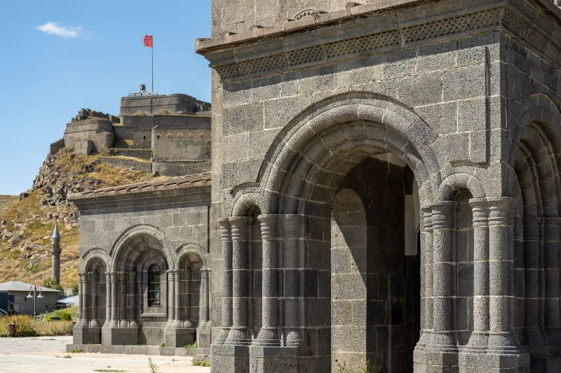
Kars
Kars is a high-plateau city in northeastern Türkiye, close to the Armenian border, shaped by decades of Russian rule and known for its cheesemaking tradition and the nearby medieval ruins of Ani. It serves as the main urban base for exploring this remote corner of Eastern Anatolia.
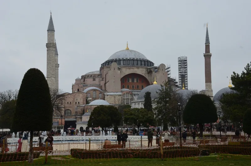
Hagia Sophia
Hagia Sophia in Istanbul is a monumental religious building begun under the Byzantine emperor Justinian I in 537 CE, later converted into an Ottoman mosque and today serving again as a mosque and UNESCO-listed monument.
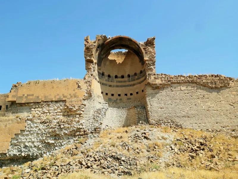
Kars and the Ruins of Ani
In eastern Türkiye, the highland city of Kars stands near Ani, a medieval settlement whose churches, walls and gorges still shape the surrounding plateau.
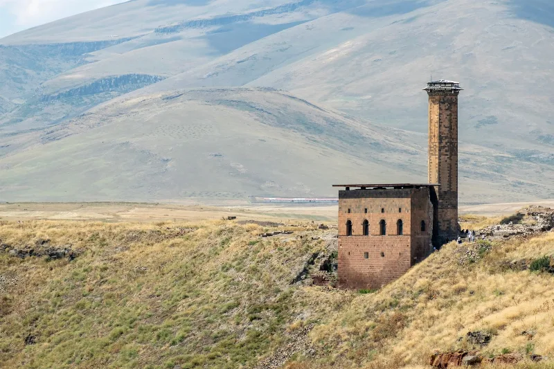
The Ancient City of Ani in Eastern Türkiye
Ani, an abandoned medieval city on the Turkish-Armenian border, offers a fascinating glimpse into a rich past with its well-preserved churches, mosque, and walls. Located near Kars, this ancient site invites travelers to explore its haunting beauty.
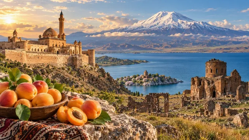
Eastern Anatolia Region
Eastern Anatolia is a region of majestic mountains, vast highlands, beautiful lakes and ancient cultural heritage. Home to Mount Ararat, Lake Van and historic settlements, it offers some of Türkiye's most dramatic natural landscapes alongside distinctive architecture, local traditions and regional cuisine.
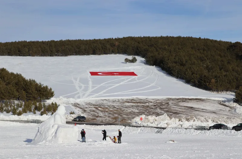
Winter in Sarıkamış, Kars
Sarıkamış in Kars is known for its crystal snow and a winter season that typically runs from December to March. The ski terrain sits among pine forests, and the district also carries a heavy historical legacy.