
4-Day Cappadocia to Konya Route
A four-day southbound route from Cappadocia's rock-cut valleys to Konya, linking the underground cities of Derinkuyu and Kaymaklı, the Ihlara canyon, Selime Monastery and the Mevlana Museum. It is a linear, self-drive journey across the volcanic plateau of Central Anatolia into the Konya plain.
This four-day route begins in the Göreme area of Cappadocia and finishes in Konya, crossing the volcanic tuff plateaus of Nevşehir province, the underground settlements scattered around Derinkuyu, the canyon of the Ihlara Valley, the rock-cut monastery of Selime and the wide steppe of the Konya plain. The journey is linear and one-directional: each day moves further south and slightly west, so the landscape changes from fairy-chimney valleys and carved cave dwellings to a semi-arid plateau, then to the orchards and gardens of an old Seljuk capital.
The route is designed for travellers with their own vehicle, since public transport links between the smaller stops are limited and the most rewarding sections — the floor of the Ihlara gorge and the upper terraces of Selime — are reached on foot. Nothing here requires specialist equipment, but the itinerary mixes driving days with walking days, and the canyon section in particular should be planned with daylight and heat in mind. Rather than treating Cappadocia and Konya as two separate trips joined by a long transfer, this plan uses the space between them as the substance of the journey.
Day 1: Göreme, Uçhisar and the Valleys of Central Cappadocia
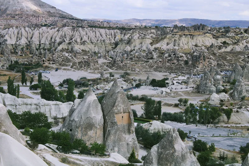
The first day stays inside the core of Cappadocia, starting in Göreme and using the village as a base for the surrounding valleys. The morning is best spent at the Göreme Open Air Museum, where a cluster of rock-cut churches preserves fresco cycles painted directly onto the soft volcanic stone. From there the route continues to Uçhisar, whose fortress-like rock outcrop gives a wide view over the whole valley system and makes the geography of the following days easy to read: a plateau cut by erosion, with villages tucked into the hollows.
The afternoon can be spent walking rather than driving. Paths lead from the villages into the nearby valleys, where the same tuff that made the caves possible has been eroded into ridges, cones and hollows. Çavuşin, just north of Göreme, has a rock-cut settlement and an old church façade facing the road, and the direction of travel stays north–south throughout, so nothing on this day pulls against the overall route. Ending the day in Göreme or Uçhisar keeps the next morning short, since Day 2 heads south from the same area.
Day 2: Derinkuyu, Kaymaklı and the Plateau Southward
Leaving Göreme, the road runs south across open farmland toward Derinkuyu. The town is known for its underground city, a multi-level complex of shafts, tunnels, storage rooms and chapels cut down into the volcanic rock, and the visit is a useful counterpoint to the above-ground cave architecture of the previous day. Kaymaklı, a short distance away, holds a second underground settlement with its own layout, and seeing both makes clear that these were not isolated curiosities but a network of defensible refuges across the plateau.
From Kaymaklı the route continues south and then southeast, with the volcanic cone of Hasandağı gradually becoming the dominant landmark on the horizon. Travellers who want more rock-cut architecture can detour toward Soğanlı, a village in a side valley known for churches and dovecote façades carved into the cliffs; the diversion fits naturally into the afternoon rather than the morning. The day ends on the approach to the Ihlara corridor, in or around Güzelyurt or the villages near the canyon rim, so that Day 3 can begin at the water without a long drive.
Day 3: Ihlara Valley and Selime Monastery
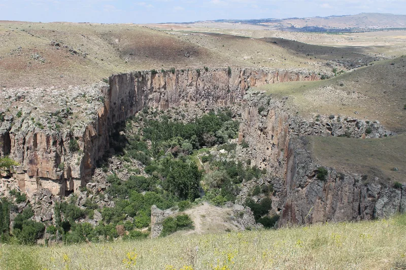
The third day is the walking day. The Ihlara Valley is a green canyon cut through the plateau by a river that rises near the Melendiz heights, and the contrast with the dry ground above is immediate: poplars, running water and rock walls dotted with painted churches carved into the cliff. A partial walk along the canyon floor between the villages of Ihlara and Belisırma covers the most visited churches without demanding a full-day hike, and the path is straightforward, following the stream downstream.
At the downstream end of the gorge stands Selime Monastery, the largest rock-cut religious complex in the region, terraced up the side of a rock outcrop with halls, a kitchen area and a church looking out over the valley. The scale is different from the small canyon chapels, and visiting it after the walk gives the day a natural climax. Nearby, around Yaprakhisar and Güzelyurt, the plateau adds further rock-cut settlements and a monastery valley of its own, which can be taken in on the way back up to the road. From here the route turns west toward Aksaray and the Konya road, ending the day around Aksaray or Sultanhanı.
Day 4: Sultanhanı and Konya
The final day follows the old road west across the plain. Sultanhanı, on the Aksaray–Konya corridor, holds a thirteenth-century Seljuk caravanserai with a monumental carved portal and a courtyard built for camels and merchants, and it works as a concise introduction to the Seljuk world that Konya represents at its fullest. The route then continues west into the Konya plain, a wide agricultural landscape that feels very different from the enclosed valleys of the first two days.
In Konya the day belongs to the Mevlana Museum, the lodge and tomb complex associated with Celaleddin Rumi and the Mevlevi tradition, which is the anchor of the city's historic centre. Around it, the Alaeddin Hill area with its mosque, and the medrese buildings of the old city — among them the Karatay Medresesi with its tilework — can be seen on foot within a compact area. The route ends here, in the urban core of Konya, with the option of a short excursion to the Meram gardens or the surrounding districts for travellers who want a quieter close to the journey. Regional produce and the local kitchen, built around wheat, lamb and pastry, are a natural part of the final evening.
Driving, Walking and Seasonal Conditions
The route is best done with a car. The Cappadocia section is short-hop driving between villages, the middle section crosses open plateau on main roads, and the Ihlara Valley requires leaving the vehicle at one of the canyon entrances and walking; a there-and-back walk or a short transfer along the rim road solves the logistics without inventing shortcuts. In Konya, the historic core is manageable on foot once the car is parked.
Spring and autumn are the most comfortable seasons. Summer brings strong heat on the plateau and inside the canyon, so early starts matter, while winter can bring snow and cold to the high ground between Cappadocia and Konya, and the canyon path may be wet. The route is linear rather than circular, so travellers should plan either a return leg or a different onward direction from Konya. Expect a genuine transition in terrain: soft eroded tuff and canyon greenery in the first three days, open steppe and irrigated farmland on the last.
Extending or Shortening the Route
With an extra day, the most logical addition is more time in the Ihlara area, walking a longer stretch of the canyon or exploring the villages around Güzelyurt, rather than adding distant stops that break the north–south logic. Travellers with less time can compress Day 1 into a single morning of the Göreme valleys and move south after lunch, though the underground cities and the canyon deserve to stay on separate days. Anyone interested mainly in the historic layers of the region can treat this as a route through carved architecture — cave churches, underground refuges, a rock monastery and Seljuk stonework — and follow the TürkiyeKart pages for each place to go deeper into what each stop contains.
Remarkable Places
See all places →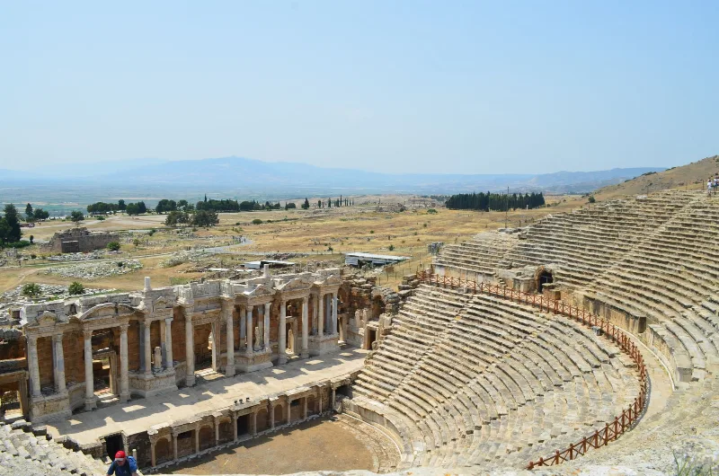
Letoon
Letoon is a Lycian sanctuary near Xanthos in Muğla Province, dedicated to Leto, Artemis and Apollo. Its three temples, theatre and trilingual inscription make it one of southwestern Turkey’s most significant archaeological sites.
Explore →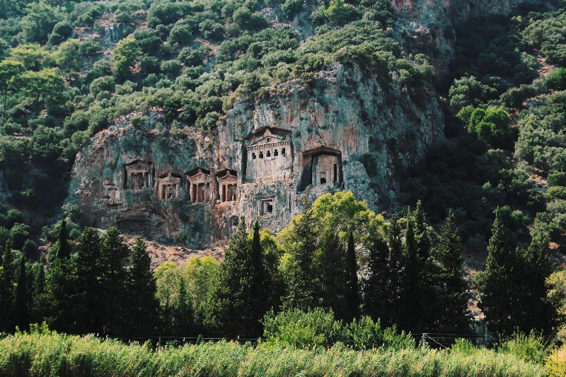
Kaunos
Kaunos is an ancient Carian city on the Dalyan River in Muğla Province, known for its temple-style rock-cut tombs and the extensive ruins of a harbour that silted up centuries ago.
Explore →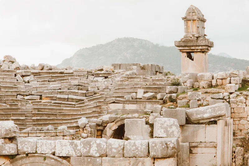
Xanthos
Xanthos is an ancient Lycian city in Antalya Province and a UNESCO World Heritage Site, known for its Lycian tombs, Roman theatre and role as a leading city of Lycia.
Explore →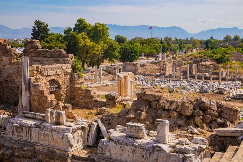
Phaselis
Phaselis is a Rhodian-founded port city on the eastern Lycian coast, where paved streets, agoras, baths and a small theatre stand among pines between three sheltered bays.
Explore →Related content
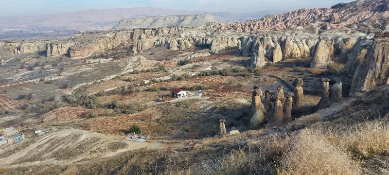
Cappadocia
Cappadocia is a region of Central Anatolia in Turkey defined by eroded volcanic tuff, rock-cut Byzantine churches and multi-level underground cities. This guide explains how the landscape formed, what the main valleys and sites actually contain, and what to know before visiting.
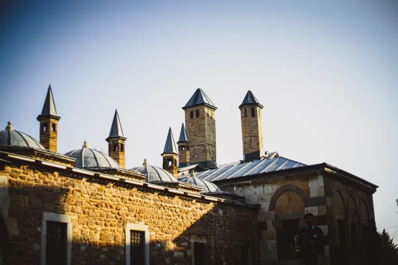
Konya
Konya is a city known for its spiritual essence and cultural heritage, home to the Mevlana Museum and the whirling dervishes.
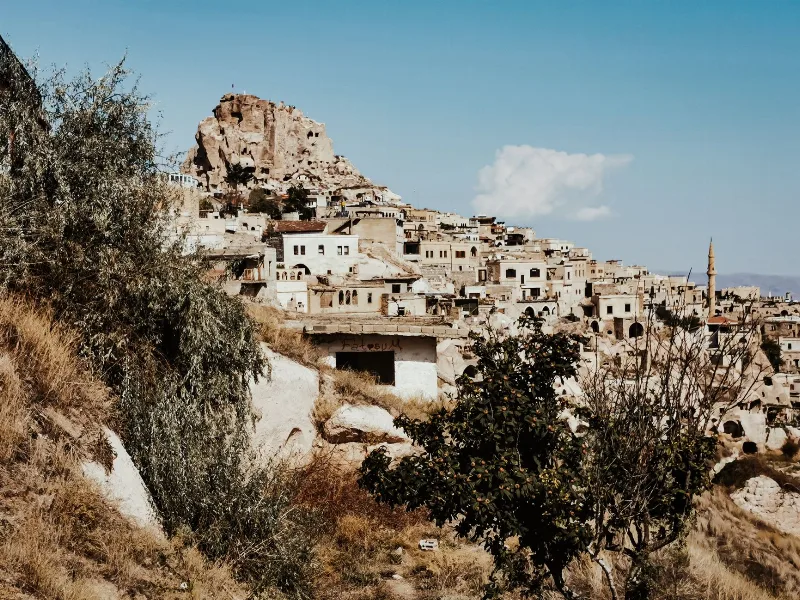
Nevşehir
Nevşehir is a provincial capital in Central Anatolia and the main urban base for the rock landscapes, underground settlements and balloon flights of the Cappadocia region.
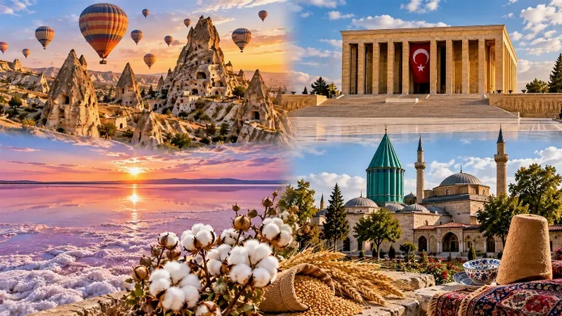
Central Anatolia Region
Central Anatolia is the historic heartland of Türkiye, known for its wide plains, extraordinary rock formations, ancient civilizations and traditional towns. From the fairy chimneys of Cappadocia to the cultural landmarks of Ankara and Konya, the region reveals the rich history and natural beauty of inner Anatolia.
4-Day Cappadocia and Konya Route
A four-day linear journey from the rock valleys of Cappadocia to the Seljuk city of Konya, linking cave churches, underground cities and the Ihlara Valley with the Mevlana Museum on the central Anatolian plateau.
Aksaray
Explore Aksaray, Central Anatolia: history, standout sights, landscapes, local food and practical travel advice for an unforgettable journey in Türkiye.