
Nevşehir
Nevşehir is a provincial capital in Central Anatolia and the main urban base for the rock landscapes, underground settlements and balloon flights of the Cappadocia region.
Nevşehir is a city in the Central Anatolia region of Türkiye and the administrative centre of Nevşehir Province. It stands on an elevated inland plateau on the edge of Cappadocia, a historical and geographical region defined by its soft volcanic rock. Among Türkiye's provincial capitals it is relatively modest in population, yet it is one of the busiest in terms of visitors, because it serves as the principal urban base for the surrounding valleys, for the underground settlements scattered across the province, and for the hot air balloon flights that rise at dawn near Göreme. The city itself is a working Anatolian town of low-rise buildings grouped around a central castle mound, with provincial offices, schools and a permanent population rather than a resort atmosphere.
Geography and setting
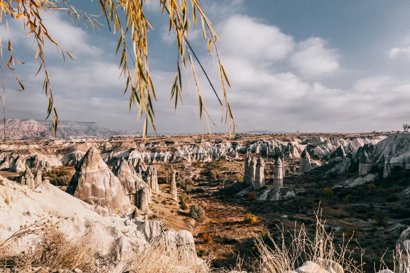
Nevşehir occupies a high plateau in the interior of Anatolia, at an elevation that keeps summers dry and winters cold. The wider landscape was shaped by ancient volcanic activity: ash and tuff ejected by volcanoes such as Erciyes and Hasan Dağı compacted into a soft, pale rock that wind and water have carved into cones, ridges, gorges and the formations widely called fairy chimneys. This same rock made the region easy to excavate, which is why cave dwellings, rock-cut churches and underground cities are so numerous here. The Kızılırmak, the longest river flowing entirely within Türkiye, sweeps through the northern part of the province around Avanos, cutting a valley and leaving alluvial ground. Volcanic soils across the plateau support vineyards, fruit orchards and cereals, and agriculture remains a visible part of daily life around the city.
From Muşkara to Nevşehir
The settlement was known in earlier centuries as Muşkara, a village on a hill in the Ottoman interior. Its fortunes changed in the early eighteenth century when Damat İbrahim Pasha, an Ottoman grand vizier who had been born there, directed resources back to his home town. Mosques, fountains, a library, a madrasa, baths and a covered market were built, and the place was elevated and renamed Nevşehir, meaning "New City". That eighteenth-century building programme still shapes the older core and gives the city a distinct Ottoman character that differs from the predominantly modern appearance of many inland Anatolian towns.
The city centre and urban character
At the heart of Nevşehir rises a rocky mound crowned by the remains of Nevşehir Castle, from which the town spreads outward in a loose grid of streets. Around the centre stand the Ottoman-era mosque complex associated with Damat İbrahim Pasha, historic fountains and a traditional bazaar area where the old commercial identity of the town survives. The city museum holds archaeological and ethnographic collections from the surrounding region. More recently, a large multi-level underground city discovered beneath the urban area in the 2010s has been opened to visitors, revealing that the ground below the modern streets was hollowed out in antiquity on a scale comparable to the more famous underground settlements of the province. Taken together, the castle mound, the Ottoman core and the buried city make Nevşehir itself a place worth walking, not merely a place to sleep before heading into the valleys.
The districts and towns of the province
Much of what visitors associate with the region lies in the districts around the capital. To the north and east, Avanos sits beside the Kızılırmak and is long known for its pottery workshops and clay dug from the riverbanks. Ürgüp is a larger historic town with rock-cut dwellings and a compact old quarter. Göreme, a town within the province, is the focus of the balloon flights and of a well-known open-air museum of rock churches. Further south, Derinkuyu and Kaymaklı are the best known of the province's underground cities, cut many levels deep into the tuff. Hacıbektaş is a centre of Alevi-Bektaşi culture and pilgrimage, while Gülşehir, Kozaklı and Acıgöl complete the provincial map, with Kozaklı noted for its thermal waters. These towns are separate settlements with their own identity, and they sit within a short radius of the capital rather than inside it.
Climate and when to visit
Nevşehir has a continental climate with four clearly defined seasons. Summers are hot and largely dry, winters are cold and often snowy, and spring and autumn bring mild temperatures and greener countryside. Balloon flights depend on calm, clear early-morning conditions and can be grounded by wind or rain, so schedules are never guaranteed. In general, the most comfortable conditions for walking and sightseeing fall in spring and autumn, while high summer suits early starts and shade, and winter offers quiet streets and occasional snow on the rock formations.
Reaching and moving around the area
The province is served by Nevşehir Kapadokya Airport, and the wider region is also accessible through Kayseri, which has a larger airport and rail connections. Long-distance coaches link Nevşehir to major Turkish cities, and the provincial capital works as a transport hub from which local buses and minibuses radiate to the surrounding towns. Once in the area, roads connect the capital with Avanos, Ürgüp, Göreme and the southern districts, making day trips between them straightforward for anyone with a vehicle or access to local transport.
Nevşehir in the wider region
Nevşehir is best understood as the administrative and practical centre of a region whose fame rests on geology and history rather than on the city alone. Cappadocia as a whole extends into neighbouring provinces, and travellers often combine Nevşehir with Kayseri to the east, Aksaray and the Ihlara corridor to the west, and Niğde to the south. Within the province, the relationship between the capital and its towns is close: the underground cities, rock-cut churches, pottery towns and vineyards are all reached from Nevşehir, and the city’s Ottoman core gives context to the landscapes around it. For anyone planning a visit, the city supplies the infrastructure and the historical background, while the valleys and towns supply the scenery and the archaeology.
Discover Food in Türkiye
All food →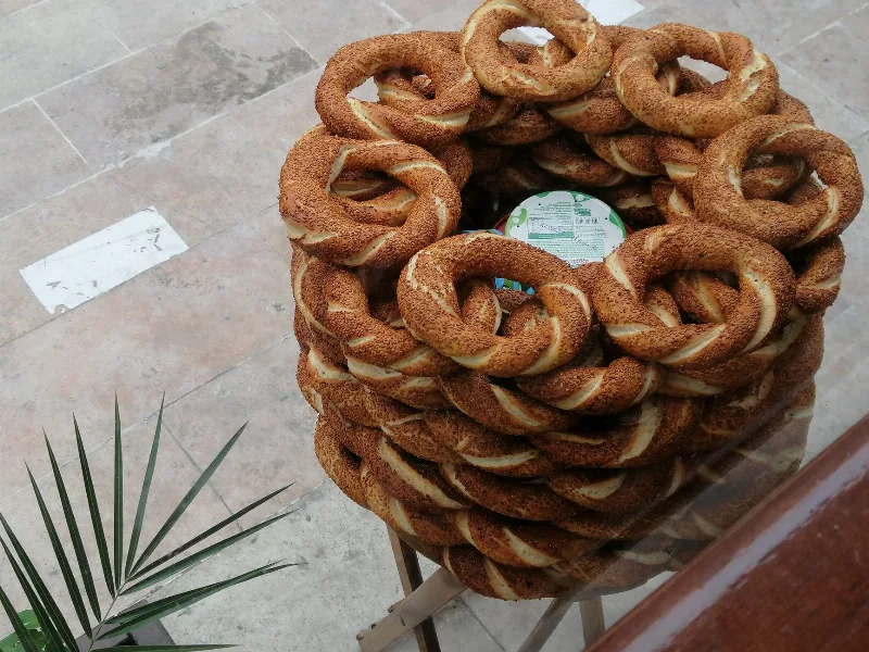
Simit
Simit is a ring-shaped Turkish bread covered in sesame seeds, strongly associated with Istanbul and sold as everyday street food. It is eaten fresh, most often with tea, and has a crisp crust around a chewy crumb.
Explore →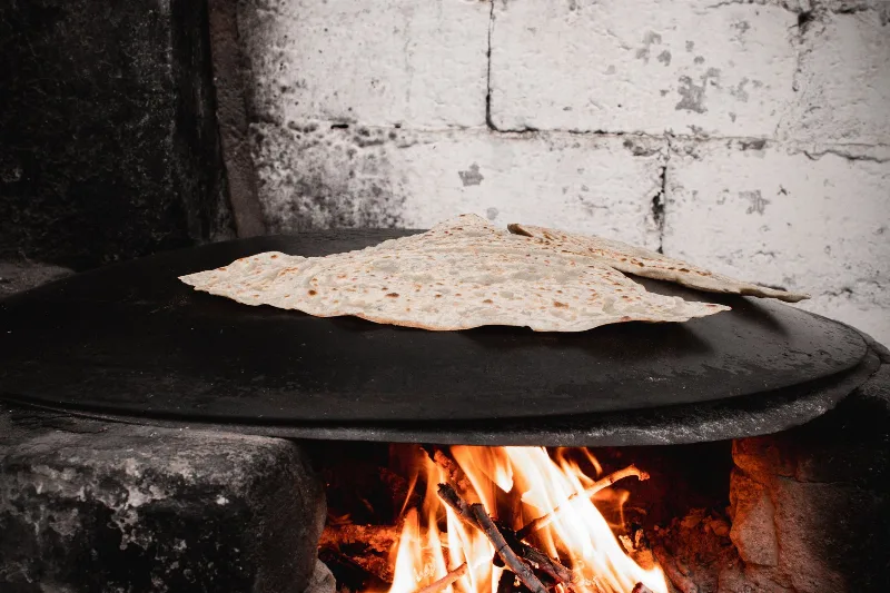
Bazlama
Bazlama is a soft, thick Turkish flatbread made from a leavened dough and cooked on a hot griddle. It is a staple of village baking across Anatolia, eaten warm with butter or used to wrap other foods.
Explore →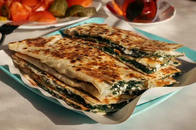
Gözleme
Gözleme is a thin, hand-rolled Anatolian flatbread folded around savory fillings such as cheese, spinach, or minced meat and cooked on a sac griddle. The article covers its regional variations, cooking method, texture, and traditional serving style.
Explore →Related content
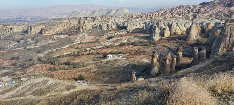
Cappadocia
Cappadocia is a region of Central Anatolia in Turkey defined by eroded volcanic tuff, rock-cut Byzantine churches and multi-level underground cities. This guide explains how the landscape formed, what the main valleys and sites actually contain, and what to know before visiting.
Kayseri
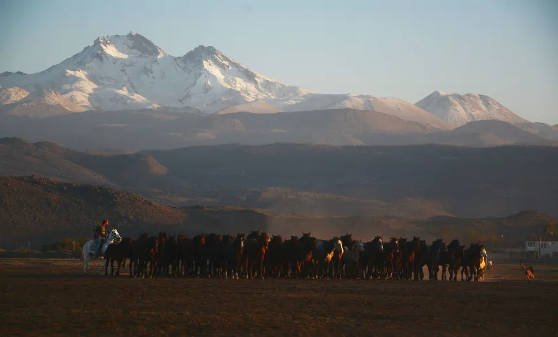
Kayseri is a major inland city in Central Anatolia, set on a plain at the foot of Mount Erciyes, and known for its Seljuk architecture, its manufacturing economy and a food culture built on pastırma and mantı.
Aksaray
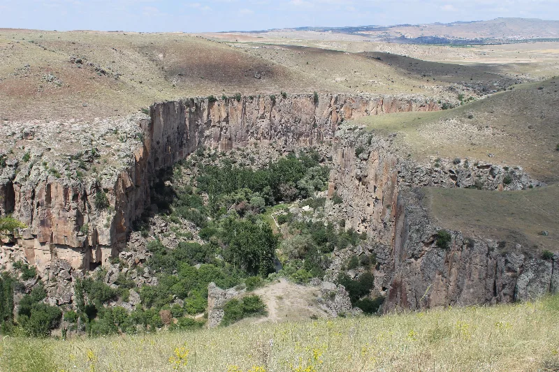
Explore Aksaray, Central Anatolia: history, standout sights, landscapes, local food and practical travel advice for an unforgettable journey in Türkiye.
Central Anatolia Region
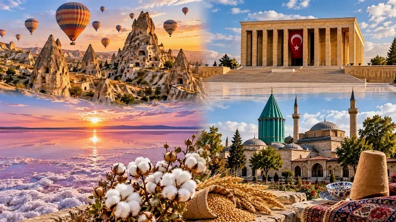
Central Anatolia is the historic heartland of Türkiye, known for its wide plains, extraordinary rock formations, ancient civilizations and traditional towns. From the fairy chimneys of Cappadocia to the cultural landmarks of Ankara and Konya, the region reveals the rich history and natural beauty of inner Anatolia.
2-Day Cappadocia Underground Cities Route
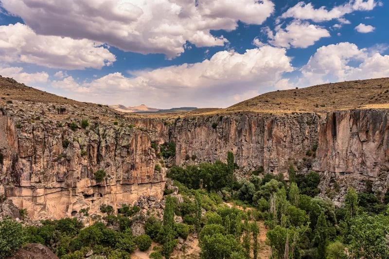
A two-day route from Nevşehir through the underground cities of Kaymaklı and Derinkuyu, finishing with a walk through the Ihlara Valley and the rock-cut complex at Selime.
Göreme National Park
Göreme National Park is a protected volcanic landscape on the Cappadocia plateau in Nevşehir Province, Türkiye, defined by eroded tuff cones known as fairy chimneys and by settlements carved into the same soft rock.