
Aksaray
Explore Aksaray, Central Anatolia: history, standout sights, landscapes, local food and practical travel advice for an unforgettable journey in Türkiye.
Aksaray is a destination in Central Anatolia, a practical entry point to Cappadocia’s Ihlara Valley, Seljuk monuments and volcanic landscapes. Its wider province offers places to explore beyond the provincial centre, and a visit works best when planned around the geography rather than just the best-known photograph. This guide focuses on what makes the destination distinctive, where to go beyond the main landmark and how to plan a visit that fits the terrain. It is intended for travellers seeking a useful introduction rather than a checklist of superlatives.
Understanding Aksaray
Aksaray sits on Central Anatolia’s high plain, where long roads, volcanic scenery and old caravan routes meet. The city is often passed through on the way to Cappadocia, but the wider province deserves independent attention. Its appeal is less about a single postcard viewpoint and more about discovering historic places within a landscape shaped by rivers and volcanic rock. It is especially useful for travellers who enjoy archaeology and self-guided regional exploration.
History and cultural heritage
The area has been inhabited since antiquity and developed under several Anatolian powers. The medieval Seljuk period is visible through caravanserais and religious architecture that served trading routes. Sultanhanı Caravanserai, in the town of the same name, is a particularly important reminder of how merchants once crossed the plateau. Aksaray’s heritage also connects to the Byzantine-period churches and settlements of the wider Cappadocian region.
Places to see
Ihlara Valley is among the province’s most memorable sites. A river runs through a deep gorge lined with rock-cut churches, walking paths and greenery. Nearby Selime is known for monumental cave-cut structures and a dramatic rocky setting. Sultanhanı Caravanserai offers a very different experience: a substantial stone complex associated with Seljuk commerce. Aksaray Museum and historic buildings in the centre provide additional context for the region.
Landscape and outdoor experiences
Melendiz River shaped Ihlara Valley over a long period, creating a green corridor in an otherwise dry-looking landscape. The volcanic presence of Mount Hasan is another defining feature. Across the province, open plateau scenery contrasts with carved valleys and agricultural land. Hikers should allow for steps, uneven ground and seasonal temperature changes in the gorge. Some pathways or churches may have restricted access, so current notices matter.
Local food and everyday culture
Aksaray’s cooking reflects Central Anatolian staples such as wheat, bulgur, meat, yoghurt and baked dishes. Local restaurants may serve regional soups, pastries and hearty everyday plates better suited to the climate than elaborate tasting menus. Exploring a bakery or market is a good complement to archaeological sightseeing. Meals in smaller settlements can be simple, but their ingredients and preparation often tell a great deal about the surrounding agricultural economy.
Districts and nearby destinations
Güzelyurt is the key district for Ihlara Valley, historic stone settlements and rock-cut churches. Sultanhanı is worth including for the caravanserai, while Ortaköy and Eskil reveal more of the province’s rural landscape. The distances between Ihlara, the city and other destinations require planning. Travellers continuing into Nevşehir Province can connect an Aksaray-focused route with further Cappadocian valleys and museums.
Planning your visit
Aksaray has road connections toward Ankara, Konya and Cappadocia, making it a convenient stop on an overland itinerary. Spring and autumn are favourable for walking, while summer sun can make exposed routes tiring. In Ihlara Valley, allow more time than a short photo stop, carry drinking water and wear suitable shoes. Confirm the status of individual churches, museums and pathways before planning a full day around them.
Suggested route and deeper experiences
For a focused day in the region, pair Ihlara Valley with Selime rather than racing through multiple distant Cappadocian stops. The valley’s floor feels cooler and greener than the exposed plateau above, making the descent a striking part of the experience. Choose a walking distance suited to your fitness and confirm where the exits are located, since some paths and stairways are strenuous. On a separate journey, Sultanhanı Caravanserai makes it easier to imagine the movement of traders and animals across Anatolia. Its architectural logic, with shelter arranged around a large enclosed court, is very different from the rock-cut religious spaces of the valleys.
How to make the most of your time
Begin with the parts of Aksaray that interest you most, then build a realistic route around them. Check up-to-date opening hours, transport options and weather before leaving, especially for remote cultural sites and mountain roads. If you have only one day, prioritise one substantial excursion and leave enough time for meals and unplanned stops. With more time, explore another district for a fuller understanding of the province. Respect protected landscapes, religious sites and the everyday life of local communities.
Travel style and useful considerations
A visit to Aksaray can be organised as a short cultural stop, a longer regional journey or part of a route through neighbouring provinces. The most appropriate choice depends on the season, access to a vehicle and how much walking you enjoy. In smaller settlements, services may be less frequent than in major tourism centres. Keep a flexible schedule, confirm return transport where relevant and ask permission before photographing people or private property. These small preparations help keep the experience rewarding for visitors and considerate toward local residents.
Discover Food in Türkiye
All food →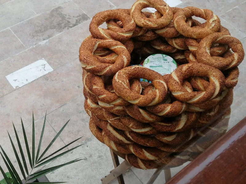
Simit
Simit is a ring-shaped Turkish bread covered in sesame seeds, strongly associated with Istanbul and sold as everyday street food. It is eaten fresh, most often with tea, and has a crisp crust around a chewy crumb.
Explore →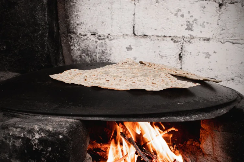
Bazlama
Bazlama is a soft, thick Turkish flatbread made from a leavened dough and cooked on a hot griddle. It is a staple of village baking across Anatolia, eaten warm with butter or used to wrap other foods.
Explore →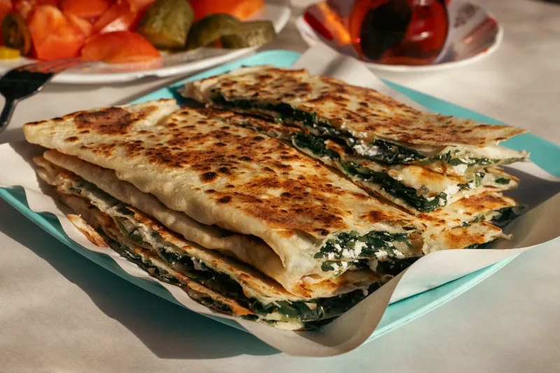
Gözleme
Gözleme is a thin, hand-rolled Anatolian flatbread folded around savory fillings such as cheese, spinach, or minced meat and cooked on a sac griddle. The article covers its regional variations, cooking method, texture, and traditional serving style.
Explore →Related content
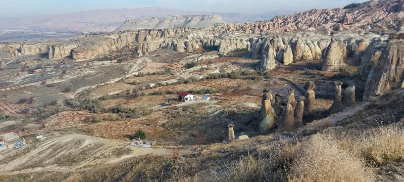
Cappadocia
Cappadocia is a region of Central Anatolia in Turkey defined by eroded volcanic tuff, rock-cut Byzantine churches and multi-level underground cities. This guide explains how the landscape formed, what the main valleys and sites actually contain, and what to know before visiting.
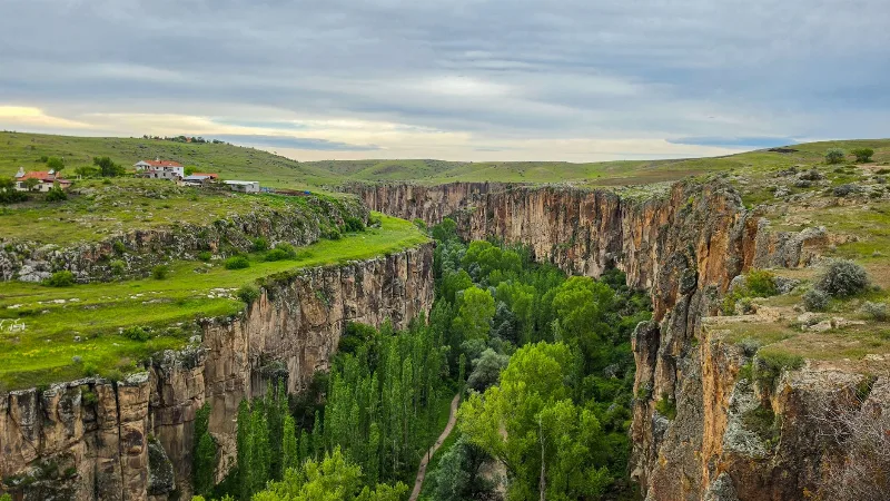
Ihlara Valley
Ihlara Valley is a 14-kilometre canyon in Aksaray Province cut by the Melendiz River, lined with Byzantine rock-cut churches and frescoes. This guide covers its geology, the churches inside it, the walking route and the best time to visit.
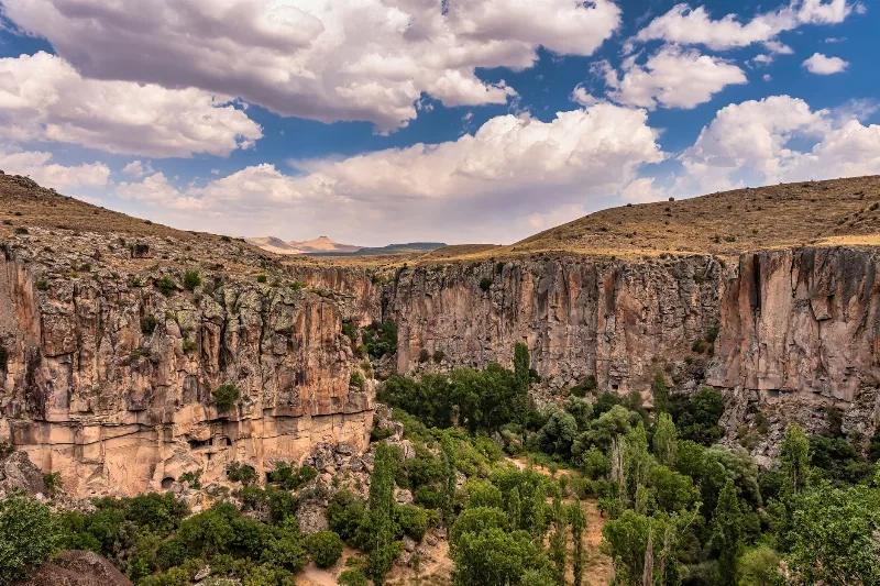
Ihlara Valley
Ihlara Valley is a green canyon in Aksaray Province, cut by the Melendiz River through soft volcanic rock. Its steep walls, riverside vegetation and rock-cut churches make it one of the most distinctive landforms of the wider Cappadocia region.
2-Day Cappadocia Underground Cities Route
A two-day route from Nevşehir through the underground cities of Kaymaklı and Derinkuyu, finishing with a walk through the Ihlara Valley and the rock-cut complex at Selime.
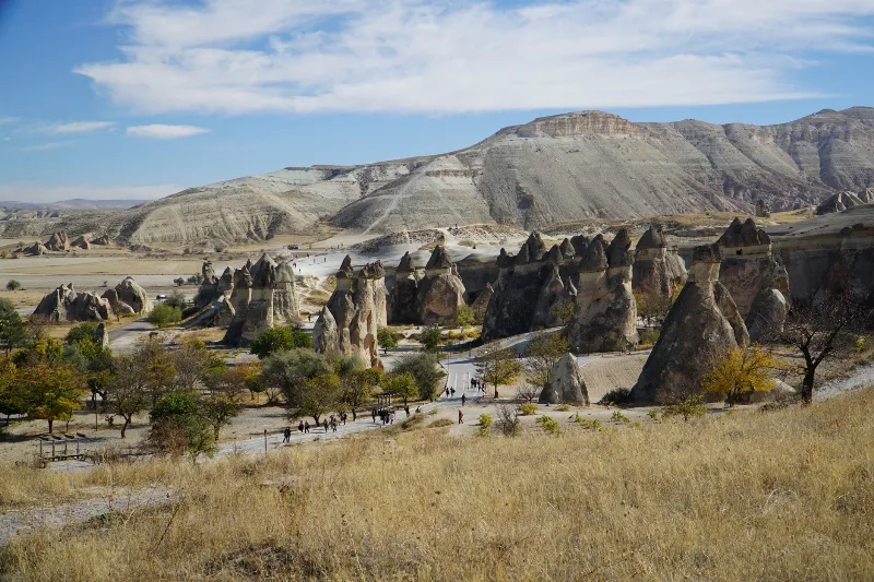
4-Day Cappadocia to Konya Route
A four-day southbound route from Cappadocia's rock-cut valleys to Konya, linking the underground cities of Derinkuyu and Kaymaklı, the Ihlara canyon, Selime Monastery and the Mevlana Museum. It is a linear, self-drive journey across the volcanic plateau of Central Anatolia into the Konya plain.
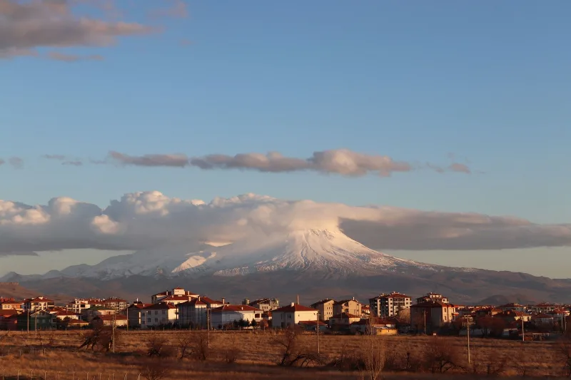
Mount Hasan (Hasan Dağı)
Mount Hasan is a dormant stratovolcano in Aksaray Province, Central Anatolia, rising to roughly 3,268 metres above the surrounding steppe and forming part of the Cappadocia volcanic province.