
Mount Hasan (Hasan Dağı)
Mount Hasan is a dormant stratovolcano in Aksaray Province, Central Anatolia, rising to roughly 3,268 metres above the surrounding steppe and forming part of the Cappadocia volcanic province.
Mount Hasan, known in Turkish as Hasan Dağı, is a dormant stratovolcano in Aksaray Province, in the Central Anatolia region of Türkiye. It stands about 30 kilometres southeast of the city of Aksaray and lies to the southeast of Lake Tuz (Tuz Gölü), rising abruptly from an otherwise open, flat plateau. The mountain is the westernmost of the major young volcanoes of the Cappadocia volcanic province, a group that also includes Mount Erciyes further east and the Melendiz volcanic area to the west. Its summit reaches roughly 3,268 metres, making it one of the highest points of Inner Anatolia and a landmark visible across a wide stretch of the Central Anatolian plain.
A Stratovolcano Built in Layers
Mount Hasan is a stratovolcano, meaning it was constructed by repeated eruptions that piled up alternating layers of hardened lava, ash and loose volcanic rock. The mountain is heavily eroded, and its slopes reveal the stacked structure typical of such cones, cut by gullies and stream channels that carry meltwater down to the plain. Volcanic activity here belongs to the same broad episode of volcanism that shaped the Cappadocia region, and the cone is generally described as dormant rather than extinct. Because it is young in geological terms and sits within a still-active volcanic province, it is treated as a dormant volcano rather than a fully dead one.
Two Peaks and a Broken Summit
The upper part of the mountain is not a single sharp cone. Hasan Dağı has two distinct summits separated by a saddle. The higher, western summit is the main peak at about 3,268 metres; the lower eastern summit, known as Küçük Hasan Dağı (Little Mount Hasan), is somewhat shorter. The top of the mountain is broad and irregular rather than pointed, and the highest ground is rocky and exposed. On clear days the white summit stands out sharply against the pale, dusty tones of the plateau below, and snow can remain on the top well after the surrounding lowlands have dried out.
Steppe Slopes and Changing Vegetation
The mountain rises out of a dry steppe environment, and this is reflected in its vegetation. The surrounding plain is largely open grassland and farmland, with cereals and other crops grown where water allows. On the lower and middle slopes, patches of scrub, oak and juniper appear, often in sheltered folds and along drainage lines where moisture collects. As altitude increases, tree cover thins and gives way to low, hardy mountain plants adapted to wind, cold and a short growing season. The uppermost slopes are largely bare rock and scree, with vegetation restricted to the most sheltered spots. This shift from open steppe to sparse woodland to high, stony ground is one of the clearest ways the mountain differs from the plains around it.
How the Landscape Changes Through the Year
Central Anatolia has a continental climate with hot, dry summers and cold, snowy winters, and Mount Hasan shows these extremes clearly. In winter, snow covers the upper slopes and often reaches well down the flanks, and the summit stays white for months. Late winter and spring bring meltwater, which feeds small streams and moistens the lower slopes, encouraging the brief flush of greenery on the steppe. By summer the lowlands are dry and dusty, while the high mountain remains cooler but still exposed to strong sun. Autumn tends to bring clearer air and stable conditions, when the mountain's profile is often easiest to see from a distance. Throughout the year, weather on the upper slopes can change quickly and differs sharply from conditions on the plain.
What Can Realistically Be Seen
From the surrounding plateau, Mount Hasan presents a broad, layered mass with two summit points and a long, gradually rising profile. On clear days it can be seen from a considerable distance, and its snow-capped top is a recognisable feature of the Aksaray landscape. Closer to the mountain, visitors see the transition from flat farmland to rough volcanic ground, with gullies, rocky outcrops and scattered scrub marking the lower flanks. The upper slopes are stony and austere rather than green, and the broad summit area offers wide views over the steppe when visibility allows.
Reaching the Area
Mount Hasan lies within easy reach of Aksaray, which serves as the main base for the area and is connected to the wider region by major roads. Settlements at the foot of the mountain, such as Helvadere and Dikmen, sit close to the lower slopes and provide access points to the surrounding countryside. Beyond the villages, road conditions and surfaces become more basic and can be affected by snow and mud in winter and spring. The mountain itself is not a landscaped destination with facilities, and travellers should expect a working rural landscape rather than a managed visitor site.
Nearby Natural Landscapes
Mount Hasan sits within a wider volcanic and steppe environment. To the west lie the Melendiz Mountains and the deeply cut Ihlara Valley, another product of the region's volcanic history. To the northwest spreads the shallow basin of Lake Tuz, one of the largest salt lakes in Türkiye. Further east, the softer volcanic formations of Cappadocia begin. Together these places show how varied the natural setting around Aksaray is, from salt flats and gorges to high, snow-bearing volcanic peaks.
Practical Considerations
Because the summit is close to 3,268 metres, altitude is a real factor: the air is thinner and colder than on the plain, and the weather can shift without much warning. There are no substantial services on the mountain, so supplies and preparation are the responsibility of the visitor. Snow and ice can make upper ground difficult or impassable for much of the year, and summer heat on the exposed lower slopes can be intense. The mountain and its surroundings are part of a fragile steppe and highland environment, and the terrain, tracks and vegetation should be treated with care so that this distinctive Central Anatolian landscape is left as it was found.
Beaches & bays
See the coast →
Related content
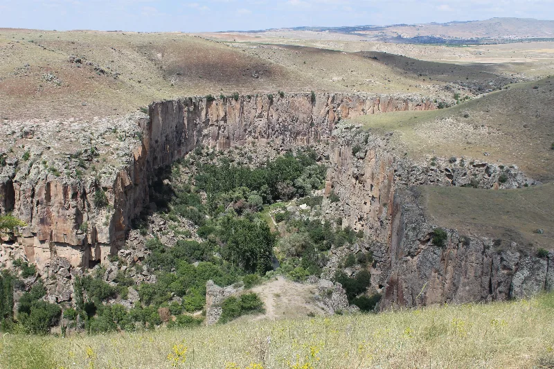
Aksaray
Explore Aksaray, Central Anatolia: history, standout sights, landscapes, local food and practical travel advice for an unforgettable journey in Türkiye.
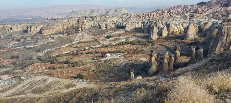
Cappadocia
Cappadocia is a region of Central Anatolia in Turkey defined by eroded volcanic tuff, rock-cut Byzantine churches and multi-level underground cities. This guide explains how the landscape formed, what the main valleys and sites actually contain, and what to know before visiting.
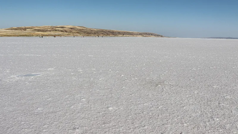
Lake Tuz
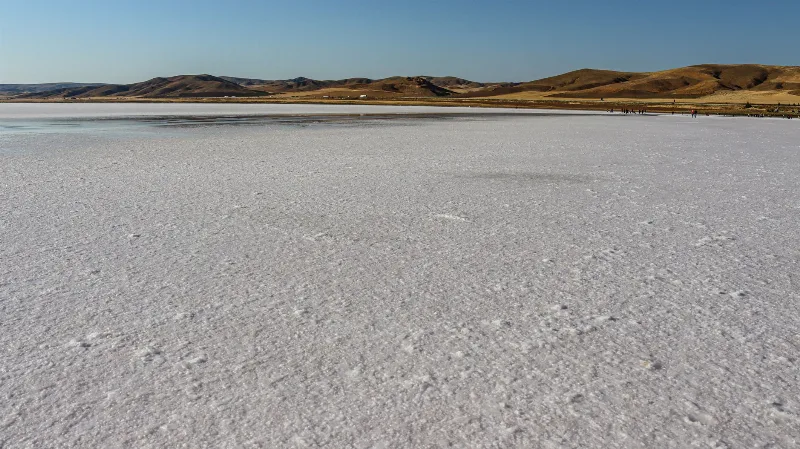
Lake Tuz (Tuz Gölü) is a hypersaline salt lake spread across Ankara, Konya and Aksaray in Central Anatolia, and one of the largest salt lakes in the world. Its shallow water, seasonal salt crust and flamingo colonies give it a character unlike any other lake in Türkiye.
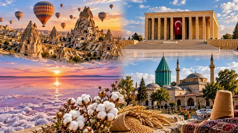
Central Anatolia Region
Central Anatolia is the historic heartland of Türkiye, known for its wide plains, extraordinary rock formations, ancient civilizations and traditional towns. From the fairy chimneys of Cappadocia to the cultural landmarks of Ankara and Konya, the region reveals the rich history and natural beauty of inner Anatolia.
Lake Tuz
Lake Tuz is a hypersaline lake in Central Anatolia and the second-largest lake in Turkey, known for its salt crust, its salt industry and its flamingo colonies.
Cappadocia's Underground Cities
Carved by hand into soft volcanic rock, the underground cities of Cappadocia form a network of tunnels, halls and storage rooms that reach several storeys below the surface of central Türkiye.