
Cappadocia's Underground Cities
Carved by hand into soft volcanic rock, the underground cities of Cappadocia form a network of tunnels, halls and storage rooms that reach several storeys below the surface of central Türkiye.
Beneath the valleys, plateaus and villages of Cappadocia in central Türkiye, a hidden world drops several storeys into the earth. These underground cities were cut by hand from soft volcanic rock, and together they form a distinctive group of historical sites in Anatolia. Long before modern travellers began to explore them, they served as shelter, storage space and places of everyday life for the communities living above.
The Volcanic Rock That Made It Possible
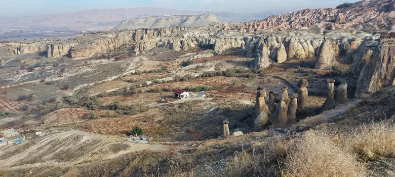
Cappadocia's story begins with ash. Eruptions from volcanoes such as Erciyes, Hasan Dağı and Göllü Dağ spread thick layers of ash across the region, and over time that ash hardened into tuff — a pale stone soft enough to shape with simple iron tools, yet firm enough to hold a carved ceiling. Wind and water then sculpted the surface into valleys, ravines and the cone-shaped formations known as fairy chimneys. The same soft layer that produced those shapes above ground made large-scale excavation below ground practical, while harder rock in places helped protect the openings.
Derinkuyu and Kaymaklı
Derinkuyu, in Nevşehir province close to the town that shares its name, is the deepest of the known underground cities, descending roughly eighteen levels, although only part of it is open. Kaymaklı, further south in the same province, is wider than it is deep, with around eight levels arranged in a broad layout. Both contain stables, storerooms, cellars, communal halls, small churches and meeting rooms carved directly into the stone, connected by sloping tunnels and narrow stairways.
Smaller Settlements Across the Region
Underground rooms and passages also appear at Özkonak near Avanos, Mazıköy near Ürgüp, Tatlarin, Gaziemir close to Güzelyurt in Aksaray province, and Saratlı. Taken together, they show that the practice of building downward was widespread rather than limited to a single site, and they offer a different sense of scale for anyone following the theme across the region.
Engineering Below the Surface
Ventilation shafts run from the surface to the lowest floors, keeping air moving through the tunnels; some of these shafts also served as wells. Heavy round stone doors could be rolled into place from the inside to close off passages. Large storage jars, wine presses, grain bins and animal stalls suggest that people planned for long stays rather than brief visits.
Who Used the Cities
Archaeological evidence and written sources connect the underground settlements with several periods. Phrygian and later Byzantine-era communities are among those linked to the region, and the cities are often associated with local Christian populations who used them during times of insecurity. Occupation was not continuous, and the spaces were adapted, extended and partly abandoned across the centuries.
Visiting the Sites Today
Several underground cities are open to visitors, with walkways, lighting and marked routes through the main levels. Interiors remain cool throughout the year, and passages can be narrow or low, with steep steps between floors. Above ground, the same tuff landscape continues in the villages, valleys and rock-cut churches of Cappadocia, so a visit to the underground cities fits naturally into a wider look at the region's geology, architecture and cultural heritage.
Related content
Cappadocia
Cappadocia is a region of Central Anatolia in Turkey defined by eroded volcanic tuff, rock-cut Byzantine churches and multi-level underground cities. This guide explains how the landscape formed, what the main valleys and sites actually contain, and what to know before visiting.
Nevşehir
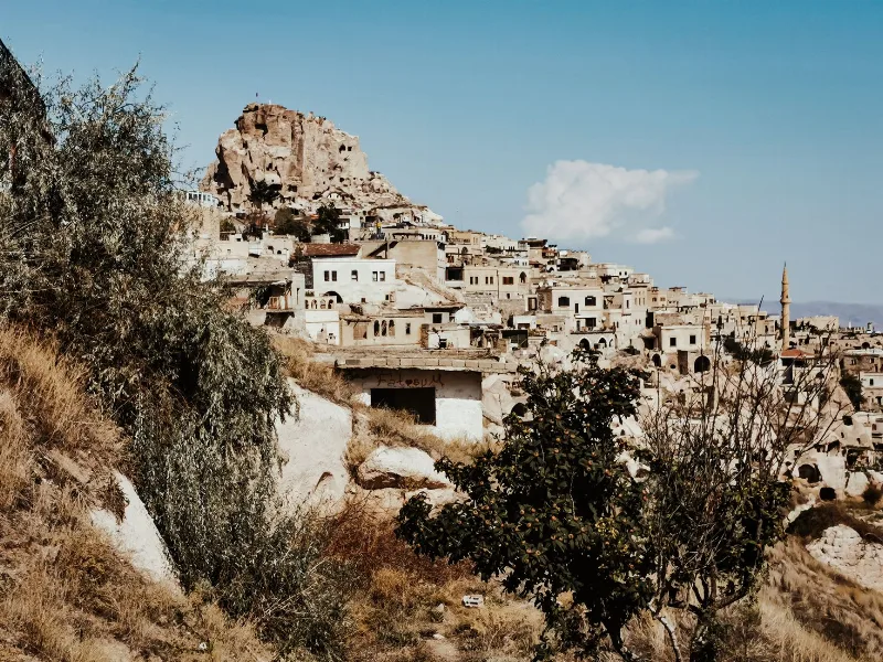
Nevşehir is a provincial capital in Central Anatolia and the main urban base for the rock landscapes, underground settlements and balloon flights of the Cappadocia region.
Aksaray
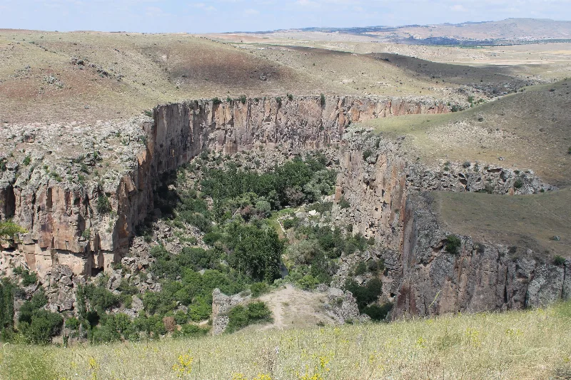
Explore Aksaray, Central Anatolia: history, standout sights, landscapes, local food and practical travel advice for an unforgettable journey in Türkiye.
2-Day Cappadocia Underground Cities Route
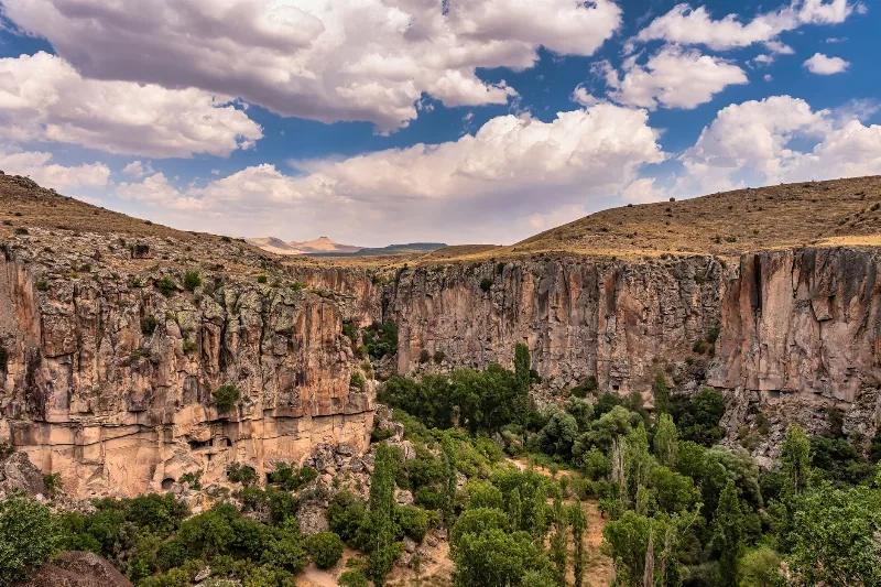
A two-day route from Nevşehir through the underground cities of Kaymaklı and Derinkuyu, finishing with a walk through the Ihlara Valley and the rock-cut complex at Selime.
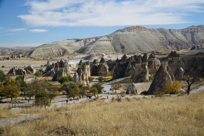
4-Day Cappadocia to Konya Route
A four-day southbound route from Cappadocia's rock-cut valleys to Konya, linking the underground cities of Derinkuyu and Kaymaklı, the Ihlara canyon, Selime Monastery and the Mevlana Museum. It is a linear, self-drive journey across the volcanic plateau of Central Anatolia into the Konya plain.
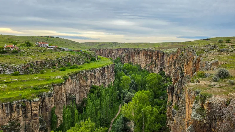
Ihlara Valley
Ihlara Valley is a 14-kilometre canyon in Aksaray Province cut by the Melendiz River, lined with Byzantine rock-cut churches and frescoes. This guide covers its geology, the churches inside it, the walking route and the best time to visit.
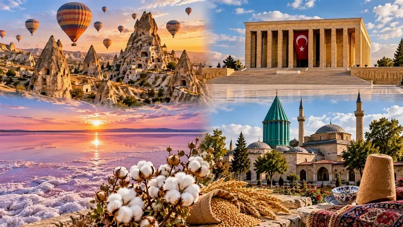
Central Anatolia Region
Central Anatolia is the historic heartland of Türkiye, known for its wide plains, extraordinary rock formations, ancient civilizations and traditional towns. From the fairy chimneys of Cappadocia to the cultural landmarks of Ankara and Konya, the region reveals the rich history and natural beauty of inner Anatolia.
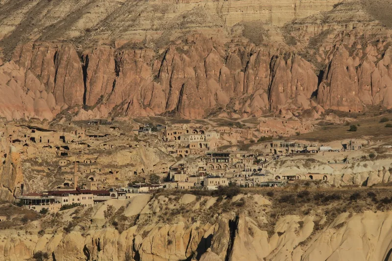
İbrahimpaşa
İbrahimpaşa is a farming village in Nevşehir Province, Cappadocia, known for a rock-cut underground city and traditional cave dwellings. It offers a quieter, far less developed look at Cappadocian village life near Ürgüp.