
Ihlara Valley
Ihlara Valley is a 14-kilometre canyon in Aksaray Province cut by the Melendiz River, lined with Byzantine rock-cut churches and frescoes. This guide covers its geology, the churches inside it, the walking route and the best time to visit.
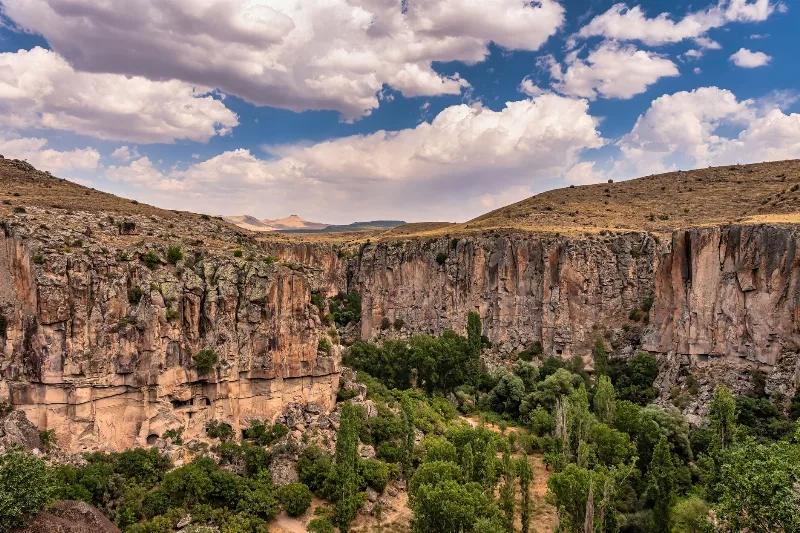
Ihlara Valley is a river canyon in Aksaray Province, in the Cappadocia region of central Türkiye, cut through volcanic tuff by the Melendiz River. It runs for roughly 14 kilometres between the village of Ihlara at its northern rim and the village of Selime at its southern end, with Belisırma lying about a third of the way along the route. Its importance rests on two things that rarely occur together: a permanently water-fed green valley floor in an arid plateau, and a dense group of Byzantine rock-cut churches whose walls still carry painted frescoes. It is also the best-established long-distance walking route in the region.
What the valley is, and what it is not
Ihlara is not a single monument or a walled archaeological site with one entrance and one exit. It is a landscape that has to be walked. The canyon floor is a strip of orchards, poplar and willow trees and riverside vegetation, while the walls above it are hollowed out with carved rooms, refectories, storerooms, dovecotes and churches. The name Ihlara refers both to the canyon and to the village on its northern edge; the historical name for the section around Belisırma was Peristrema, and that older name is still used for the wider monastic area.
Because the valley is linear, visiting it means choosing a section and walking it. There is no road along the bottom and no way to drive between the churches.
Where it lies and how the canyon was formed
The valley sits in Güzelyurt district of Aksaray Province, roughly 40 kilometres from the city of Aksaray and well south of the main Cappadocia visitor towns around Nevşehir. The surrounding plateau is made of volcanic tuff — consolidated ash and debris thrown out by eruptions from volcanoes in the region, including Hasandağı, the large stratovolcano that rises to the east. Tuff is soft enough to carve with simple tools but firm enough to hold a cut face for centuries, which is why the whole of Cappadocia is riddled with rock-cut architecture.
What makes Ihlara different from other Cappadocian valleys is water. The Melendiz River has been cutting into the tuff for a very long time, and the result is a gorge whose walls rise steeply above a flowing stream, commonly described as around 100 to 150 metres high in places. The river continues north beyond the canyon toward the Aksaray plain. Because the water is permanent, the floor stays green through the summer, and the humidity and shade inside the canyon make it noticeably cooler than the plateau above.
The rock-cut churches and their frescoes
More than a hundred churches and chapels have been documented in the valley and its immediate surroundings, though only a portion are easily visited on foot. Most were carved and painted between the 9th and 13th centuries, when the valley served as a monastic retreat; a few preserve earlier, simpler decoration consisting of red-ochre crosses and geometric motifs painted directly onto the rock. The painted churches follow Byzantine conventions: cross-in-square plans, apses, and cycles of scenes from the life of Christ, the Gospels and the saints. Several carry inscriptions naming donors, which is part of why the valley matters to art historians.
Churches near the northern end
Close to the Ihlara village entrance, Ağaçaltı Kilise — the Church under the Trees — is one of the first churches reached on the descent. It has a cross plan and preserves scenes including the Annunciation, the Visitation and the Nativity. Because it sits near the main entrance, it is also one of the most visited.
Churches in the middle and southern sections
Around Belisırma and further south the churches are more varied. Kokar Kilise contains a fuller painted programme with scenes from the life of Christ and the Gospels. Yılanlı Kilise, the Snake Church, is named for its depiction of sinners being punished, including figures tormented by snakes. Sümbüllü Kilise and Direkli Kilise, the Columned Church, are also in this stretch. One of the most historically interesting is Kırkdamaltı Kilise, also associated with St. George, whose frescoes and inscription date to the late 13th century and record a world in which Byzantine and Seljuk authority overlapped; the decoration includes a figure identified with a Seljuk sultan. Bahattin Samanlığı Kilise and Pürenli Seki Kilise are among the other painted churches in the same area.
Walking the valley floor
The main walking route follows the Melendiz River from Ihlara village to Selime. The full distance is about 14 kilometres, but most visitors walk a shorter section and turn back, or arrange to be collected at the far end. The path is a mixture of dirt track, riverside trail and wooden boardwalks built over the marshy, spring-fed ground. Gradients along the floor are gentle; the difficulty comes from the entrances and exits.
At the Ihlara village end, reaching the floor means descending a long flight of several hundred steps cut into the canyon wall. At the Selime end, the route climbs back out of the gorge. Because the valley is a one-way corridor, walkers who cover the whole length need transport waiting at the other end. Shoes with grip matter, particularly on the boardwalks and on stone steps that stay damp.
Practical information for visitors
- The valley is a managed, ticket-controlled visitor site with entrance points at Ihlara village and near Selime.
- There is no vehicle access along the canyon floor; the walking route is the only way between the two ends.
- Bring more water than you think you need. The canyon is humid and shade is intermittent, and the exits involve climbing.
- Wear shoes with good grip. Boardwalks and rock steps can be slippery, especially after rain or snowmelt.
- Facilities are concentrated in the villages — Ihlara, Belisırma and Selime — rather than inside the canyon itself, where services are minimal.
- If you plan to walk the full length, arrange your return transport before you start.
- Allow several hours for a full crossing and considerably less for a short out-and-back section.
Seasons and conditions
Spring and autumn are the most comfortable periods. In April and May the valley is at its greenest, fed by snowmelt from the plateau, and temperatures are mild; September and October bring similar conditions with drier ground. Summer afternoons can be hot and humid inside the gorge, even though the river and the shade make it cooler than the exposed plateau. Winter is cold, and snow or ice on the steps and boardwalks makes the route genuinely slippery; access to some sections can be affected by weather.
Rain changes the valley quickly. The Melendiz can rise after heavy precipitation, and the wooden walkways, which exist precisely because the ground is wet, become hazardous. Checking conditions before setting out is worthwhile in any season.
Related places in the same area
At the southern end of the canyon, the village of Selime gives its name to the Selime Monastery, a large rock-cut complex with a cathedral-like hall carved into the cliff, and it is often visited together with the valley. West of Ihlara, the town of Güzelyurt is the district centre and preserves its own rock-cut churches, underground spaces and stone architecture, along with the crater lake of Narlıgöl nearby. Hasandağı dominates the skyline to the east. Closer to the city of Aksaray, Aşıklı Höyük is a Neolithic settlement mound of archaeological importance, and the salt flats of Tuz Gölü lie further north. Visitors coming from the main Cappadocian towns of Nevşehir, Derinkuyu and Kaymaklı can combine the valley with the underground cities of that province, although Ihlara itself belongs to Aksaray, not Nevşehir.
Related content
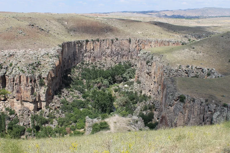
Aksaray
Explore Aksaray, Central Anatolia: history, standout sights, landscapes, local food and practical travel advice for an unforgettable journey in Türkiye.
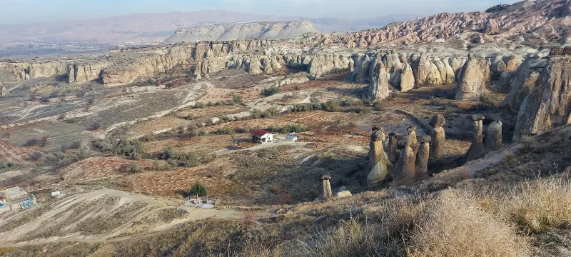
Cappadocia
Cappadocia is a region of Central Anatolia in Turkey defined by eroded volcanic tuff, rock-cut Byzantine churches and multi-level underground cities. This guide explains how the landscape formed, what the main valleys and sites actually contain, and what to know before visiting.
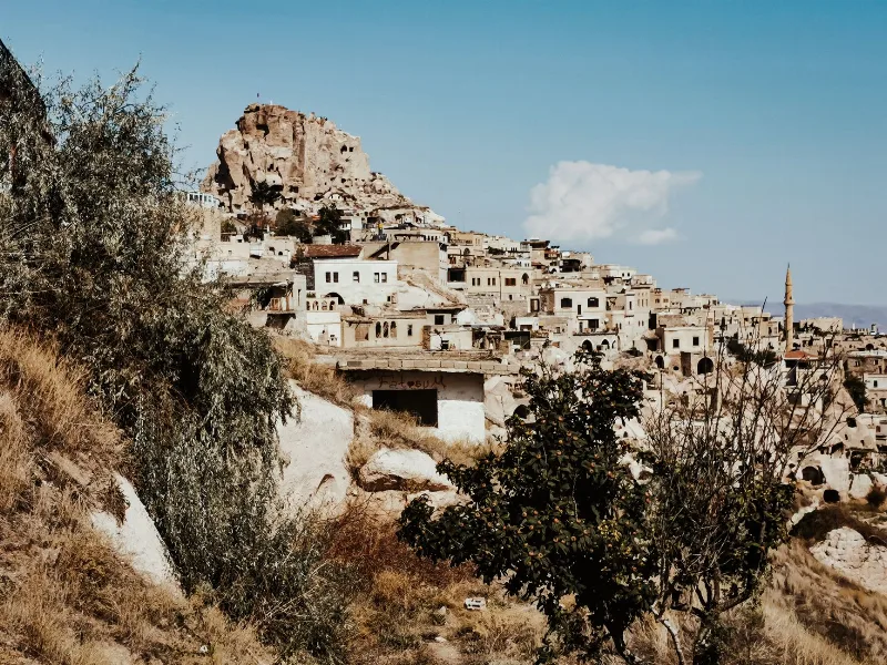
Nevşehir
Nevşehir is a provincial capital in Central Anatolia and the main urban base for the rock landscapes, underground settlements and balloon flights of the Cappadocia region.
2-Day Cappadocia Underground Cities Route
A two-day route from Nevşehir through the underground cities of Kaymaklı and Derinkuyu, finishing with a walk through the Ihlara Valley and the rock-cut complex at Selime.
Ihlara Valley
Ihlara Valley is a green canyon in Aksaray Province, cut by the Melendiz River through soft volcanic rock. Its steep walls, riverside vegetation and rock-cut churches make it one of the most distinctive landforms of the wider Cappadocia region.
4-Day Cappadocia to Konya Route
A four-day southbound route from Cappadocia's rock-cut valleys to Konya, linking the underground cities of Derinkuyu and Kaymaklı, the Ihlara canyon, Selime Monastery and the Mevlana Museum. It is a linear, self-drive journey across the volcanic plateau of Central Anatolia into the Konya plain.