
Kars
Kars is a high-plateau city in northeastern Türkiye, close to the Armenian border, shaped by decades of Russian rule and known for its cheesemaking tradition and the nearby medieval ruins of Ani. It serves as the main urban base for exploring this remote corner of Eastern Anatolia.
Kars is a city in northeastern Türkiye and the administrative centre of Kars Province, part of the Eastern Anatolia region. It stands on a high plateau near the border with Armenia, and it differs from most Turkish cities in two visible ways: the grid of straight streets and stone buildings left behind by several decades of Russian administration, and a long-standing reputation for dairy production, particularly cheese. The medieval Armenian city of Ani, today an archaeological site rather than a living settlement, lies to the east near the Arpaçay river, and it is one of the main reasons travellers add Kars to a route through the northeast.
Where Kars sits
Kars occupies an open plateau in the far northeast of the country at an elevation of roughly 1,750 metres. The Kars River, known locally as Kars Çayı, crosses the plain on which the city is built and continues toward the wider Aras drainage system. The surrounding terrain is broad highland rather than steep mountain country, with rolling ground, cultivated fields and long horizons that open up in every direction. Winters are long and hard here precisely because of this exposed, elevated setting.
The city is the largest settlement in its province, which also includes smaller towns and districts such as Sarıkamış to the west, known for its pine forests and winter sports, and Arpaçay to the east, closer to the border. Because the plateau sits at the meeting point of eastern Anatolia, the Caucasus and the Armenian highlands, Kars has always functioned as a frontier town as much as an agricultural centre.
A city shaped by Russian rule
After the Russo-Turkish War of 1877–78, Kars passed into the Russian Empire and remained under Russian administration until the early twentieth century. This period transformed the town physically. Planners laid out a European-style grid, with wide streets crossing at right angles, and filled it with stone civic and residential buildings that would not look out of place in a Caucasus town of the same era. That layout still defines central Kars and is the clearest thing that separates it from cities of comparable size elsewhere in Anatolia.
Religious architecture from this era survives in converted form. The Fethiye Mosque began life as a nineteenth-century Russian Orthodox church before being adapted for Islamic worship. Older still is the Kümbet Mosque, originally a tenth-century Armenian church, one of several medieval structures that predate both the Russian period and the Ottoman town. Together these buildings give the centre a layered character in which Armenian, Russian, Ottoman and republican phases sit within a few minutes' walk of one another.
Kars Castle and the historic centre
The most prominent landmark is Kars Castle, a fortress on the hill that rises above the grid of streets. Its defences were repeatedly rebuilt over the centuries, and the position gives a clear view over the city, the river and the plain beyond. Below the castle, the central districts hold the bazaar area, the surviving stone facades of the Russian period and the museum collections that interpret the region's archaeology and ethnography.
Walking the centre is the best way to understand the city, because its interest lies in the urban fabric as a whole rather than in a single monument. Straight avenues, low stone buildings and the contrast between the ordered grid and the older, denser commercial core are the defining features of Kars as a place to spend time, not just to pass through.
Ani and the Arpaçay valley
East of the city, the plateau breaks toward the Arpaçay, the river that marks the border with Armenia. On the far side of this valley stand the ruins of Ani, the medieval Armenian capital often described as the city of a thousand and one churches. Its walls, cathedral and surviving buildings are among the most important historic remains in eastern Türkiye, and the site has been recognised internationally for its value.
Ani is an archaeological site, not a modern settlement, so its detailed history belongs with dedicated historic-place coverage rather than here. Within the story of Kars, it matters as the anchor of the region's medieval past and as the destination that most visitors combine with a stay in the city. The same valley and plateau also contain smaller historic and rural sites that are best understood in relation to the town.
Local identity: cheese, honey and goose
Kars is closely associated with dairy farming. Its kaşar and the Gruyère-style cheese known locally as gravyer are produced on the surrounding pastures, a tradition often linked to settlers who arrived in the region during the nineteenth century. Honey from the highland meadows is another recognised local product, and in winter the region's food culture turns to roast goose, a dish tied to the cold season in and around the city.
These products form part of the regional identity rather than a dining itinerary; they explain why agriculture, and especially livestock, remains central to the economy of the plateau.
Climate and the best general time to visit
Kars has a harsh continental highland climate. Winters are long, snowy and very cold, with temperatures frequently well below freezing and snow lying on the ground for extended periods. Summers are short and relatively cool, which makes them the most comfortable months for exploring the city and the surrounding plateau on foot.
Late spring and early autumn generally offer the most workable conditions for combining the town with trips to Ani and the wider countryside. Deep winter, on the other hand, is the season that shapes the region's image: heavy snow, closed roads in places and the winter food traditions that go with it. Anyone planning around outdoor sites should treat the weather as the main variable.
Reaching Kars and its place in northeastern Anatolia
Kars is a rail terminus and an established stop on long-distance train routes from central Anatolia, and it also sits on the railway line that runs toward Georgia, part of the corridor linking Türkiye with the South Caucasus. By road, the city connects westward toward Erzurum, northward toward Ardahan and southward toward Iğdır and Ağrı, making it a natural staging point for the whole northeast.
From Kars, several distinct experiences fall within the same regional circuit: the ruins of Ani, the forests and winter sports terrain around Sarıkamış, and Lake Çıldır in neighbouring Ardahan, a large high-altitude lake that is famous for freezing over in winter. Villages scattered across the plateau preserve the rural character of the province and its livestock culture. Kars therefore works less as a standalone destination and more as the urban hub of a frontier region where history, highland geography and a distinctly eastern Anatolian way of life meet.
Discover Food in Türkiye
All food →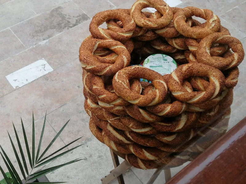
Simit
Simit is a ring-shaped Turkish bread covered in sesame seeds, strongly associated with Istanbul and sold as everyday street food. It is eaten fresh, most often with tea, and has a crisp crust around a chewy crumb.
Explore →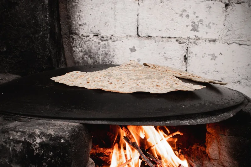
Bazlama
Bazlama is a soft, thick Turkish flatbread made from a leavened dough and cooked on a hot griddle. It is a staple of village baking across Anatolia, eaten warm with butter or used to wrap other foods.
Explore →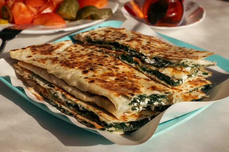
Gözleme
Gözleme is a thin, hand-rolled Anatolian flatbread folded around savory fillings such as cheese, spinach, or minced meat and cooked on a sac griddle. The article covers its regional variations, cooking method, texture, and traditional serving style.
Explore →Related content
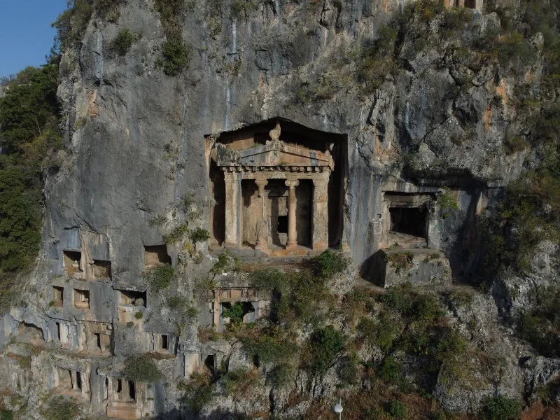
Fethiye
Fethiye is a captivating coastal town known for its stunning blue lagoon, thrilling paragliding experiences, and ancient rock tombs.
Erzurum
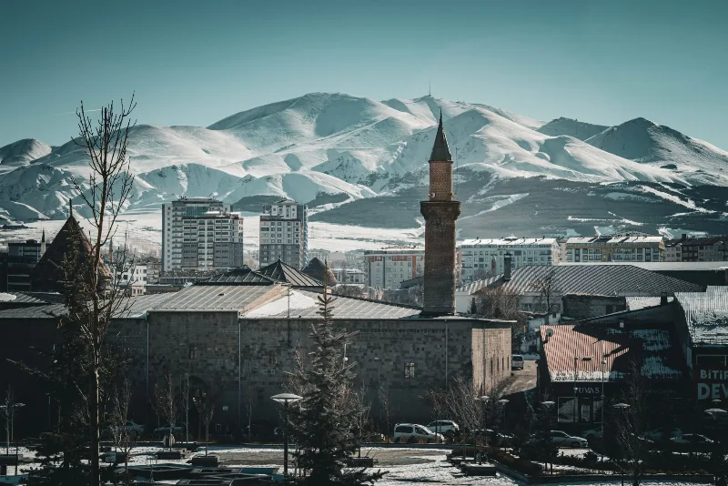
Erzurum is a high-plateau city in eastern Türkiye and the capital of its province, set at roughly 1,900 metres among mountains. It is known for severe winters, the long ski season on Palandöken and a historic centre of Seljuk and Ottoman monuments.
Ardahan
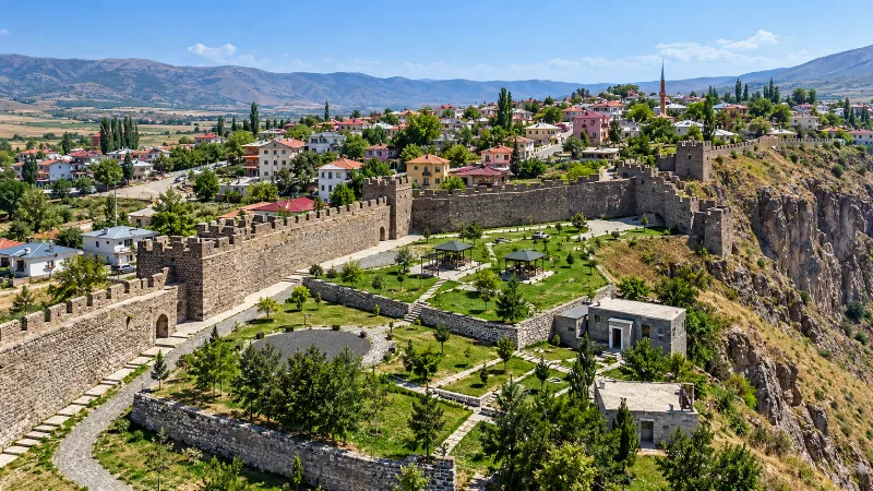
Explore Ardahan, northeastern Türkiye: history, standout sights, landscapes, local food and practical travel advice for an unforgettable journey in Türkiye.
Eastern Anatolia Region
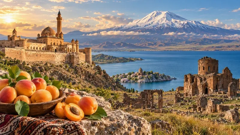
Eastern Anatolia is a region of majestic mountains, vast highlands, beautiful lakes and ancient cultural heritage. Home to Mount Ararat, Lake Van and historic settlements, it offers some of Türkiye's most dramatic natural landscapes alongside distinctive architecture, local traditions and regional cuisine.
Lake Çıldır
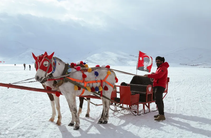
Lake Çıldır is a large freshwater lake in northeastern Türkiye, set on a high steppe plateau between Ardahan and Kars and known for freezing solid during the long eastern Anatolian winter.
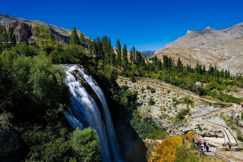
Tortum Waterfall
Tortum Waterfall in Erzurum Province is the outflow of Lake Tortum, a large landslide-dammed lake, and the drop marks where the lake spills over the natural barrier that formed it.