
Lake Çıldır
Lake Çıldır is a large freshwater lake in northeastern Türkiye, set on a high steppe plateau between Ardahan and Kars and known for freezing solid during the long eastern Anatolian winter.
Lake Çıldır is a large freshwater lake in the far northeast of Türkiye, lying on a high plateau mainly within Ardahan Province, with its eastern shores extending toward Kars Province. It is one of the biggest lakes in Eastern Anatolia and sits at roughly 1,959 metres above sea level. The lake occupies an open, treeless basin surrounded by gently rolling steppe, and for several months each year its surface freezes into a thick sheet of ice.
Where the Lake Lies
The lake sits in a wide depression near the borders with Georgia and Armenia, in a part of Türkiye defined by high elevation, cold air and a short growing season. The nearby town of Çıldır gives the lake its name, and the provincial centre of Ardahan lies to the northwest, while the city of Kars is to the south. The surrounding region is sparsely populated, with scattered villages and open grassland rather than woodland. This corner of the country is closer in climate and feel to the Caucasus than to the Turkish interior, and the lake is a central feature of the local geography.
A Lake Formed by Volcanic Activity
Lake Çıldır is generally understood to have formed when volcanic lava flows blocked the drainage of the basin, creating a natural barrier that allowed water to collect. This makes it a barrier-type lake rather than one cut by glacial action. The basin is fed by streams and by meltwater from winter snow, and it holds fresh water rather than being saline. Its shape is irregular, with a broad main body and a few small islands rising from the surface. Because the basin is largely enclosed and the climate is dry for much of the year, the lake level responds noticeably to seasonal snowmelt and summer evaporation.
The Steppe Landscape
The land around the lake is a classic high steppe environment: low grasses, sparse shrubs and wide horizons with very few trees. This open setting is the lake's most distinctive quality, and it sets Lake Çıldır apart from the forested lakes of the Black Sea region or the pine-fringed lakes of southwestern Türkiye. In summer, the steppe turns green and then gold as the grass dries, and the shallow shoreline exposes patches of mud and wetland vegetation. Small islands within the lake, including one with the remains of an old church, add visual interest to an otherwise flat and open scene.
How the Seasons Change the Lake
The lake experiences extreme seasonal contrast. Winters are long, cold and snowy, and the surface freezes over with ice thick enough to walk on. This frozen period is a defining feature of the lake's character and shapes how local communities use it. Spring arrives late at this altitude, bringing meltwater that raises the water level and greens the surrounding pasture. Summer is short, relatively dry and mild by day, with cool nights, and the steppe is used for grazing. By late autumn, temperatures fall again and the lake begins to lock in ice toward the coldest months. Anyone planning a visit should expect freezing conditions for a large part of the year and short, changeable summers.
Wildlife and Habitats
The lake and its wetlands support waterfowl, and the open steppe around it is typical habitat for ground-nesting birds and small mammals adapted to treeless country. The shoreline and shallow margins provide feeding and resting areas for migrating and resident birds. Because the surrounding land is grassland rather than forest, the wildlife differs markedly from forested parts of Türkiye, and the lack of tree cover means most animals are seen in the open or at a distance.
Winter Ice and Local Tradition
During the coldest months, the frozen surface becomes the setting for a long-standing local tradition of fishing through holes cut in the ice. This practice is tied to the lake's winter conditions and is part of how the lake is known across the region. The ice is a seasonal reality rather than a permanent feature, and its thickness and duration depend on the severity of each winter. Visitors should be aware that the frozen surface is a natural, weather-dependent environment, and that ice conditions can vary considerably from year to year.
Reaching and Exploring the Area
The lake is reached by road from Ardahan and from Kars, generally via the routes that connect these provincial centres with the district of Çıldır. Distances are long and the roads cross high, exposed plateau country, so travel times can be extended by snow and poor weather in winter. There is no large settlement directly on the shore, and the surrounding villages are small. Exploration is mainly by road around the shoreline and on foot across the open steppe, where terrain is generally flat but the ground can be soft and wet near the water. The wider region also contains other notable places, including the historic site of Ani near Kars, which is often combined with a trip to this part of northeastern Türkiye.
Practical Considerations Before Visiting
The main factors to consider are altitude, cold and remoteness. At nearly 2,000 metres, the air is thin and weather can change quickly, so warm, windproof clothing is essential in every season. Winter travel requires preparation for snow and ice, while summer visits should account for strong sun and little shade. Services are limited in this sparsely populated area, and the nearest larger towns are some distance away, so supplies and fuel should be arranged in advance. The lake is best understood as a working natural landscape shaped by harsh climate and open steppe, not a developed resort, and its appeal lies in that raw, wide-open environment.
Beaches & bays
See the coast →
Related content
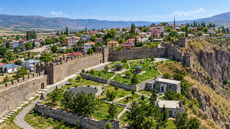
Ardahan
Explore Ardahan, northeastern Türkiye: history, standout sights, landscapes, local food and practical travel advice for an unforgettable journey in Türkiye.
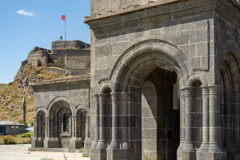
Kars
Kars is a high-plateau city in northeastern Türkiye, close to the Armenian border, shaped by decades of Russian rule and known for its cheesemaking tradition and the nearby medieval ruins of Ani. It serves as the main urban base for exploring this remote corner of Eastern Anatolia.
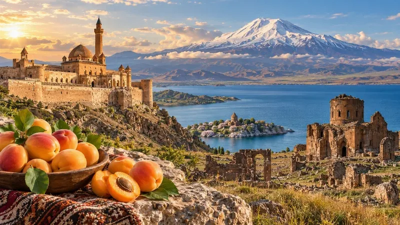
Eastern Anatolia Region
Eastern Anatolia is a region of majestic mountains, vast highlands, beautiful lakes and ancient cultural heritage. Home to Mount Ararat, Lake Van and historic settlements, it offers some of Türkiye's most dramatic natural landscapes alongside distinctive architecture, local traditions and regional cuisine.
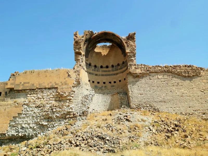
Kars and the Ruins of Ani
In eastern Türkiye, the highland city of Kars stands near Ani, a medieval settlement whose churches, walls and gorges still shape the surrounding plateau.
Lakes and Natural Beauty in Türkiye
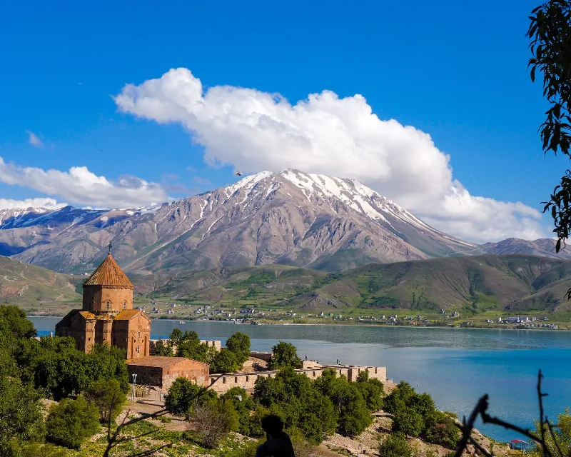
A journey through the lakes of Türkiye, from the wide soda waters of Lake Van to forest pools in Bolu, salt flats on the Central Anatolian plateau and reed beds full of birds.
Winter in Sarıkamış, Kars
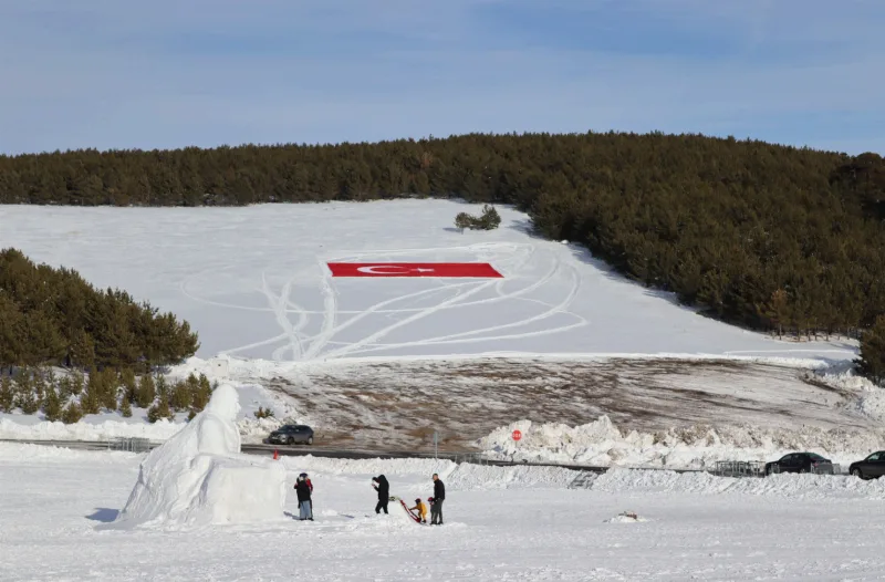
Sarıkamış in Kars is known for its crystal snow and a winter season that typically runs from December to March. The ski terrain sits among pine forests, and the district also carries a heavy historical legacy.