
Yumurtalık Lagoon
This Adana wetland combines shallow brackish water, delta marshes and coastal sand to create one of southern Türkiye's important waterbird habitats. It is a place of flat horizons, seasonal water shifts and concentrated bird life rather than dramatic scenery.
Yumurtalık Lagoon is a coastal lagoon and wetland in Adana Province, southern Türkiye, lying near the Yumurtalık district where the Ceyhan River delta meets the Mediterranean. It is a shallow, brackish water body fringed by marshes, mudflats, reeds and low sandy coastal ground. Its identity is shaped less by dramatic relief than by the meeting of river sediment, seawater and seasonal water-level change.
Where the Lagoon Sits in the Ceyhan Delta
The lagoon is not an inland lake set among mountains or a mountain reservoir. It belongs to the flat coastal plain of eastern Adana, close to the Yumurtalık district and the wider Ceyhan delta system. The lagoon lies at the low end of a river landscape: water arriving from the Ceyhan system, sediment carried toward the sea and the Mediterranean shoreline all interact here. That position makes the site geographically distinct from the rocky coves and steep coastal scenery found farther west along the Turkish Mediterranean.
The surrounding land is low and open, with the sea and lagoon separated by a coastal barrier of sand and sediment. This is a delta wetland environment, so the boundary between land and water is not fixed throughout the year. Water levels, the extent of mudflats and the amount of open water can shift with season, rainfall and the movement of sediment.
A Delta Lagoon, Not a Mountain Lake
The lagoon was formed by coastal and riverine processes rather than by tectonic basin filling in a highland setting. Sediment deposited near the river mouth helps build the low barriers and flats that enclose the lagoon, while seawater exchange keeps the water brackish rather than fresh. The result is a shallow coastal basin with a soft, low shoreline. Its natural character is one of horizontal planes: water surface, marsh vegetation, mud and sand.
This distinguishes Yumurtalık Lagoon from Türkiye's mountain lakes, canyon rivers and high plateaus. The site is not visited for elevation, rock walls or forest scenery. Its value lies in the ecological edge created where freshwater influence, salt water and coastal sediment meet.
Habitats Around the Water
The protected area is often discussed as Yumurtalık Nature Reserve because the lagoon and its margins form a wetland complex rather than a single open pool. Reedbeds and marsh vegetation occur where water is shallow and less saline. Salt-tolerant plants and low coastal vegetation appear on drier margins, while mudflats are exposed when water levels fall. Low sand and sediment barriers separate parts of the lagoon from the open sea.
These habitats support a range of wetland plants and animals, but the most visible natural interest is the bird life. The combination of shallow water, sheltered margins and productive mud is what makes the site ecologically important. It is not a landscaped park, and the vegetation and water edges should be read as natural wetland features rather than as ornamental scenery.
Birds and Seasonal Movement
Bird life is central to the site's identity. The lagoon lies on a coastal migration route, and its shallow water and mudflats provide feeding and resting ground for waterbirds during movement periods. The wider wetland complex is associated with migratory and wintering waterbirds, including waders and other birds that depend on shallow coastal habitats. Bird life is not evenly spread: it follows water depth, exposed mud, reed cover and disturbance levels.
Spring and autumn are the main periods when migration shapes the site. In winter, the lagoon can hold concentrations of waterbirds, while summer brings hotter, drier conditions and lower water in some parts. The exact pattern varies from year to year, so the lagoon should not be expected to look the same on every visit. For anyone interested in the natural environment, the changing bird presence is part of the reason the wetland is significant.
What the Landscape Looks Like
The visual experience is flat and open. There are no high viewpoints or mountain backdrops within the lagoon itself. Instead, the landscape is made of shallow water, reed margins, muddy edges, low vegetation and coastal ground. In some seasons, open water dominates; in others, exposed mud and marsh vegetation are more prominent. The sea is nearby but separated by the coastal barrier, so the lagoon reads as a sheltered wetland rather than an exposed beach.
Visitors should not expect a compact scenic highlight. The interest is in the whole wetland pattern: how water is distributed, where birds gather and how the margins change. This makes observation a matter of looking across the flat plain and along the water edges rather than walking through dramatic terrain.
Seasonal Conditions and Natural Timing
Weather strongly affects the experience. Summer in the Adana region is hot and humid, with strong sun on open coastal ground. Spring and autumn are more comfortable for being outdoors and coincide with bird migration. Winter can be cooler and wetter, and waterbird numbers may be higher, but the wetland can also be muddier and less easy to approach.
Water conditions are not static. Rainfall, river flow and coastal exchange influence how much water is present and how much mud is exposed. The lagoon may appear fuller after wet periods and shallower in dry spells. These seasonal shifts are natural and are part of what makes a delta wetland dynamic.
Approaching and Exploring the Area
The lagoon is reached through the coastal plain around the Yumurtalık district in Adana Province. The usual approach is by road from the wider Adana area through the Ceyhan and Yumurtalık direction, but the final access to the water edge should not be assumed to be direct or uniform. This is a protected wetland, so the surrounding roads and edges are generally more suitable for understanding the site than trying to enter sensitive water and marsh zones.
The ground is low and soft in places, with mud, shallow water and uneven coastal sediment. Walking conditions are not those of a dry upland path. Plan for open sun, exposure and wet ground near the margins. The lagoon is best treated as a natural area to observe from permitted edges and surrounding land rather than as a developed visitor attraction.
Practical Natural Considerations
Because the site is a wetland, the most important practical points are water, mud and heat. Do not assume firm ground near the lagoon edge. Water levels and mud conditions can make parts of the margin inaccessible or unsafe. Sun exposure is significant in the warmer months on this flat coastal plain, and there is little high ground from which to gain an overview.
The reserve should be respected as a conservation area. Keep to areas where access is clearly allowed, avoid disturbing birds and do not assume that the whole lagoon can be crossed or approached closely. The natural value of Yumurtalık Lagoon depends on quiet water and undisturbed margins.
Conservation Status and Nearby Natural Context
Yumurtalık Lagoon is a protected wetland and nature reserve in Adana. Its conservation importance rests on its coastal lagoon habitats, its role for migratory and waterbirds and its place within the Ceyhan delta system. The site is not isolated from the wider landscape: river processes, the Mediterranean coast and the flat agricultural plain around it all influence the wetland.
Nearby natural context includes the Ceyhan River delta and the eastern Mediterranean coastal plain around Yumurtalık. These are not mountain or forest landscapes but low delta and coastal environments, where water, sediment and seasonal change define what can be seen. For readers exploring southern Türkiye's natural places, Yumurtalık Lagoon represents a different kind of landscape from the country's lakes, canyons and high mountains: a shallow, protected coastal wetland whose interest is ecological, seasonal and closely tied to the meeting of river and sea.
Beaches & bays
See the coast →
Related content
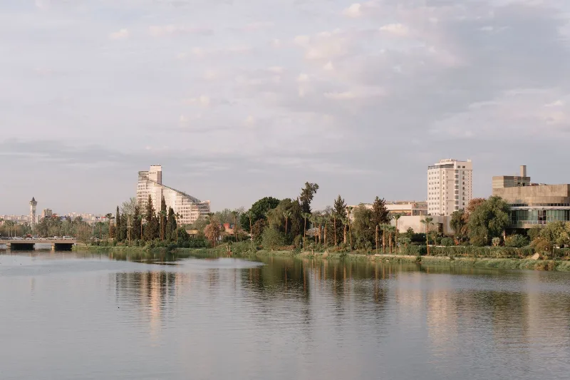
Adana
Adana is a major metropolitan city in southern Türkiye and the urban heart of the Çukurova plain, defined by the Seyhan River, a Roman-era stone bridge and a deeply rooted kebab and agricultural culture.
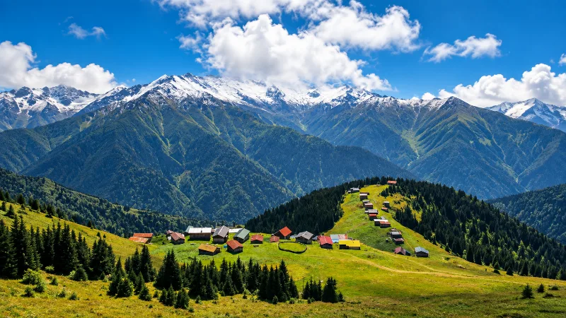
Nature
Lakes, forests, rivers, canyons, mountains, wetlands and national parks across Türkiye.
Ceyhan River Cotton Fields in Adana
The Ceyhan River crosses the Çukurova plain east of Adana, where irrigated cotton fields shape one of Türkiye's most distinctive agricultural landscapes.

Watermelon Harvest in Adana
The watermelon harvest in Adana, Turkey, takes place in July and August. The region's hot climate and fertile soil produce exceptionally sweet, large watermelons, making this a distinctive seasonal event in the Çukurova Plain.
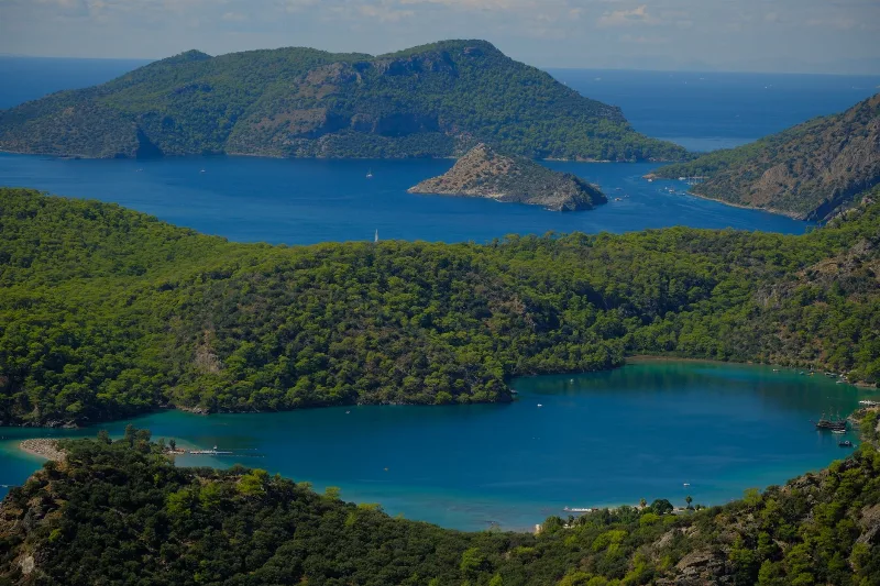
3-Day Fethiye and Ölüdeniz Route
A three-day loop based in Fethiye that combines the Lycian rock tombs and old harbour quarter with the Blue Lagoon at Ölüdeniz, the abandoned village of Kayaköy and the inland gorge at Saklıkent.
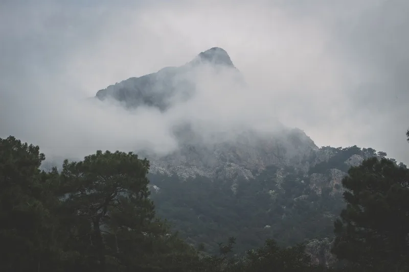
Mount Babadağ
Mount Babadağ is a limestone mountain in Muğla Province, south-western Türkiye, rising steeply above the Ölüdeniz lagoon to a summit of roughly 1,960 metres. Its exposed rock faces and rapid drop to the sea have made it one of the best-known coastal mountains in the country.