
Adana
Adana is a major metropolitan city in southern Türkiye and the urban heart of the Çukurova plain, defined by the Seyhan River, a Roman-era stone bridge and a deeply rooted kebab and agricultural culture.
Adana is a large city in southern Türkiye and the administrative centre of Adana Province, standing in the middle of the Çukurova, the broad alluvial plain of ancient Cilicia. It is one of the country's biggest metropolitan municipalities, and what sets it apart is the combination of an exceptionally fertile plain and the Seyhan River, which runs through the built-up area and continues to shape both its geography and its identity.
Where Adana Sits in the Çukurova
The city occupies the central Çukurova, roughly thirty kilometres inland from the Mediterranean, where the flat plain begins to meet the foothills of the Taurus Mountains. Two major rivers cross this landscape: the Seyhan, which flows through Adana itself, and the Ceyhan further east. The Çukurova is among the largest and most productive plains in Türkiye, and that productivity has driven the city's growth for centuries. To the north, the Taurus range rises sharply and separates the plain from the high Anatolian interior, creating the narrow corridor known as the Cilician Gates. The result is a city that is simultaneously coastal in climate, agricultural in economy and mountain-framed on its northern horizon.
The Seyhan River and the Shape of the City
The Seyhan is central to how Adana is organised. North of the centre, the Seyhan Dam holds back a large reservoir whose shoreline is used for recreation and whose water feeds the irrigation networks of the plain. Downstream, the river splits the urban area into western and eastern halves, and its banks hold the city's most recognisable public spaces, including the long riverside park area and the monumental mosque that dominates the west bank. The river also moderates the otherwise intense summer heat in its immediate surroundings and provides the axis along which the city's central districts connect.
From Hittite Adaniya to the Ramazanoğlu
Adana's history reaches back to the Hittite period, when the settlement appears in records as Adaniya. Under Roman rule it belonged to Cilicia, and the bridge that still carries traffic across the Seyhan — the Taşköprü, or Stone Bridge — has Roman origins, although it was rebuilt and repaired many times over the following centuries. Byzantine control was followed by Arab raids, Seljuk authority and the medieval period in which the region was contested between local Armenian, Crusader and Turkish powers. From the fourteenth century, the Ramazanoğlu principality governed Adana, and after the Ottoman conquest of the region in the sixteenth century the family continued as hereditary governors. That Ramazanoğlu era left the most visible layer of the city's historic architecture.
Urban Character and Central Districts
The metropolitan municipality is organised around four central districts. Seyhan lies mainly west and south of the river and contains much of the historic core and the main commercial streets. Yüreğir spreads east of the Seyhan, an area of dense residential quarters and major road links. Çukurova covers the northern part of the built-up area, while Sarıçam extends to the north-east along the routes towards Osmaniye and Gaziantep. Beyond these, Adana Province stretches across a wide range of landscapes, from the Mediterranean shore to mountain towns, so the city itself functions as the service, transport and cultural hub for a much larger territory.
Landmarks and Historic Places
The Taşköprü remains the emblem of Adana and is one of the oldest bridges in the world still in daily use. Near the city centre, the sixteenth-century Ulu Cami reflects the Ramazanoğlu period, and the nearby Ramazanoğlu mansion, now used as an ethnographic museum, illustrates the domestic architecture of the same era. The Büyük Saat, a tall clock tower, marks one of the central intersections, while the large modern mosque on the Seyhan's west bank has become a contemporary symbol of the skyline. The city's museums, including archaeological and cinema collections, add further context. Ancient settlements in the wider province, such as Misis and the sites around Yumurtalık and Kozan, are best explored through dedicated historical coverage rather than in a general city overview.
Food and Regional Produce
Adana's food identity is inseparable from its setting. The plain supplies cotton, citrus, wheat, maize and the region's well-known watermelons, and this agricultural base underpins much of the local economy. The city's best-known contribution is Adana kebab, made from hand-minced lamb pressed onto flat skewers and grilled over charcoal. It is typically accompanied by flatbread, grilled vegetables and şalgam, a fermented turnip and carrot juice that is a fixture of the region. Sweets such as bici bici, a chilled starch dessert served with rose water, and künefe reflect the wider southeastern and Mediterranean influence. The wider food and produce traditions of the area belong to a broader regional picture rather than to any single establishment.
Coast, Mountains and Nearby Places
Adana Province extends well beyond the city. To the south, Karataş and Yumurtalık reach the Mediterranean, where the Ceyhan delta, lagoons and long sandy stretches mark the transition from plain to sea. Inland to the east, Ceyhan district centres on its river and on major energy and industrial infrastructure. To the north and north-east, the Taurus foothills contain mountain towns such as Kozan, Karaisalı, Aladağ, Pozantı, Feke, Saimbeyli and Tufanbeyli, each with its own character, altitude and climate. Pozantı guards the approach to the Cilician Gates, while Kozan was historically the site of Sis, once a significant regional centre. Railway engineering from the early twentieth century, including the Varda viaduct in Karaisalı, is a reminder of how the mountains were crossed. These places relate closely to Adana as satellite towns and excursion destinations.
Climate and General Timing
Adana has a Mediterranean climate with very hot, humid summers that regularly exceed 35°C and can push past 40°C, and mild, wet winters with temperatures usually between about 7°C and 15°C. Frost on the plain is uncommon. The most comfortable conditions generally fall in spring, from March to May, and in autumn, from September to November, when temperatures are moderate and the surrounding countryside is at its most workable for travel. Midsummer is best suited to early mornings, shaded riverside areas or excursions towards the coast and higher ground.
Reaching Adana and Regional Connections
Adana is served by an airport within the city and by rail and highway links that connect it with the rest of southern Türkiye. The coastal plain continues west towards Mersin and Tarsus, while routes to the east lead towards Osmaniye, Gaziantep and the wider southeast. Northward, the roads through the Cilician Gates climb towards Niğde and the interior. This position makes Adana a practical base for understanding the Çukurova as a whole: a densely farmed plain, a river city with a long history, and a gateway between the Mediterranean coast and the Anatolian plateau.
Discover Food in Türkiye
All food →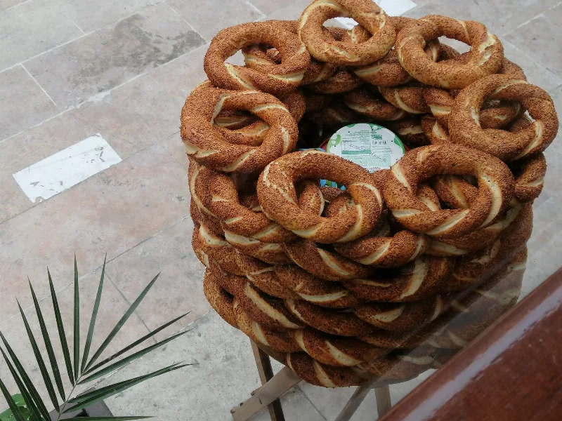
Simit
Simit is a ring-shaped Turkish bread covered in sesame seeds, strongly associated with Istanbul and sold as everyday street food. It is eaten fresh, most often with tea, and has a crisp crust around a chewy crumb.
Explore →
Bazlama
Bazlama is a soft, thick Turkish flatbread made from a leavened dough and cooked on a hot griddle. It is a staple of village baking across Anatolia, eaten warm with butter or used to wrap other foods.
Explore →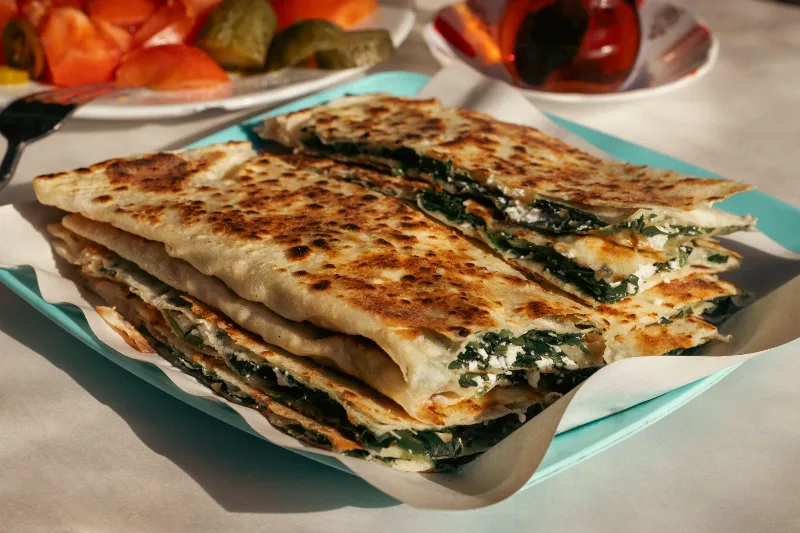
Gözleme
Gözleme is a thin, hand-rolled Anatolian flatbread folded around savory fillings such as cheese, spinach, or minced meat and cooked on a sac griddle. The article covers its regional variations, cooking method, texture, and traditional serving style.
Explore →Related content
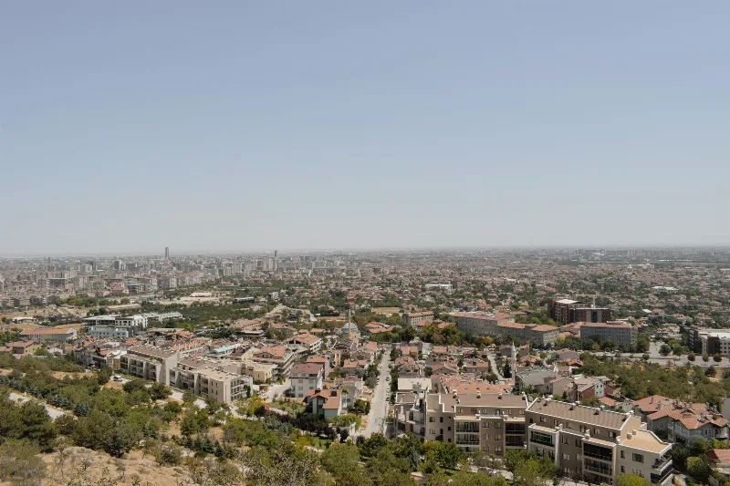
Gaziantep
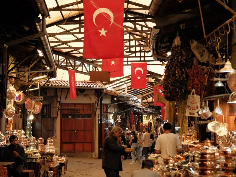
Gaziantep is a major city in southeastern Türkiye and the administrative centre of its province, widely recognised as the country's gastronomic capital and known for its citadel, bazaars and the Zeugma Mosaic Museum.
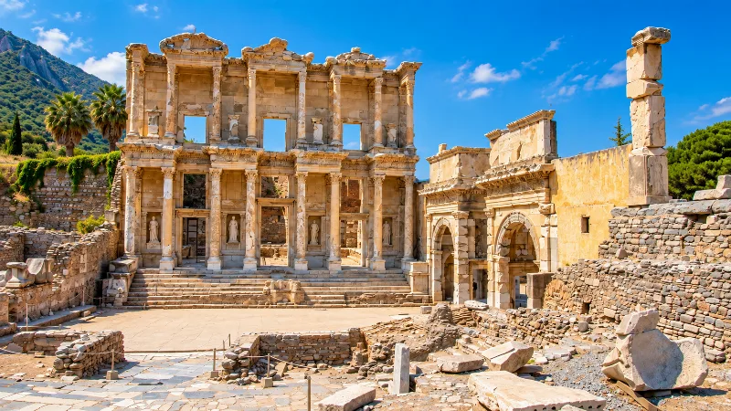
Historic Places
Ancient cities, monuments, castles and archaeological sites across Türkiye.
Savoring the Flavors of Gaziantep's Cuisine
Discover the rich culinary traditions of Gaziantep, a city known for its diverse and flavorful dishes that showcase the gastronomic richness of Türkiye.
Kahramanmaraş
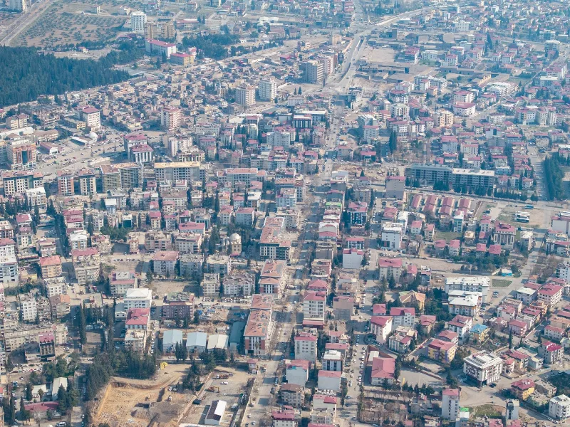
Kahramanmaraş is an inland city in southern Türkiye, set on a plain below the Taurus Mountains, known worldwide for its elastic salep-based dondurma and for a textile industry built on denim.
Why Turkish Food Changes from Region to Region
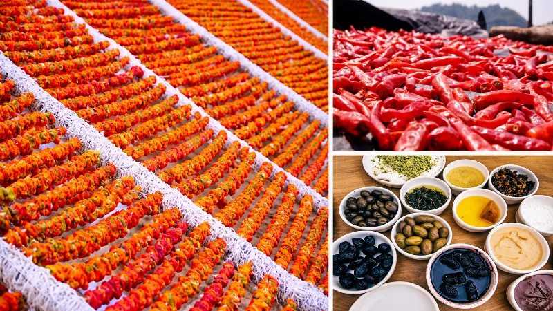
Climate, geography, agriculture and local history shape the ingredients, cooking methods and everyday dishes found across Türkiye. Türkiye’s cuisine is often described as a single national tradition, but food changes considerably from one region to another. Coastal climate, mountain geography, agricultural production, local history and available ingredients all influence what is cooked and how meals are prepared. A dish common on the Black Sea coast may be uncommon in southeastern Türkiye, while ingredients associated with the Aegean can play a much smaller role in the interior. These regional differences form one of the main characteristics of Turkish food culture.

Lahmacun
Lahmacun is a thin, round flatbread spread with finely minced meat, tomato, pepper and spices, baked quickly at high heat and served with lemon and fresh parsley. It is one of Türkiye's most recognisable street and oven foods, with strong regional traditions across the southeast and beyond.