
Mount Babadağ
Mount Babadağ is a limestone mountain in Muğla Province, south-western Türkiye, rising steeply above the Ölüdeniz lagoon to a summit of roughly 1,960 metres. Its exposed rock faces and rapid drop to the sea have made it one of the best-known coastal mountains in the country.
Mount Babadağ, also written Baba Dağı, is a limestone mountain in the Fethiye district of Muğla Province, in south-western Türkiye. It rises almost directly from the Mediterranean shoreline at Ölüdeniz and reaches a summit of roughly 1,960 metres. What defines the mountain is the combination of a high, bare massif and an unusually short horizontal distance to the sea, so the land falls from near-2,000 metres to sea level within only a few kilometres. The mountain belongs to the Western Taurus system and is best known internationally as a launch point for paragliding above the Ölüdeniz lagoon.
Where Babadağ Stands
The mountain occupies the Teke Peninsula, the long limestone peninsula that forms Türkiye's south-western corner. Its southern and south-western flanks look straight down onto Ölüdeniz and the coast, while the northern slopes descend more gradually toward the Fethiye plain and the valley of the lower Dalaman catchment. The town of Fethiye lies inland of the mountain's northern foot, and the resort settlement of Ölüdeniz sits at its southern base, where the land meets the lagoon.
The position of Babadağ is what makes it distinctive. Most high mountains in Türkiye stand well inland, separated from the coast by plains or other ranges. Here, the massif meets the sea, and the coastal profile is steep rather than shelving. Seen from the water, the mountain forms a continuous wall of rock above the shoreline.
Limestone Terrain and Geological Character
Babadağ is built of limestone, the dominant rock of the Western Taurus. The upper mountain is largely bare, with pale rock, rubble and thin patches of soil; vegetation cannot establish itself across much of the summit ridge. The slopes are steep and in places near-vertical, and the rock is weathered into the rough, fractured surfaces typical of Mediterranean karst.
Below the mountain, the coast around Ölüdeniz is formed differently. A sandbar closes off a shallow lagoon from the open sea, creating the enclosed body of water that gives the settlement its name. The contrast between the hard limestone above and the low, sandy shoreline below is one of the defining features of the local landscape.
Vegetation and Habitat on the Slopes
Vegetation changes noticeably with elevation. The lower slopes, between the coast and the mid-mountain, carry Mediterranean maquis scrub together with stands of Turkish pine, which tolerate the hot, dry summers. As the ground rises, trees thin out and give way to scrub, then to open rock. The summit zone is essentially treeless and exposed.
Because the mountain faces the sea, its lower slopes are humid in a way that inland limestone at similar elevations is not, and the vegetation reflects that. The broader area around Ölüdeniz is recognised for its coastal and wetland environment, and the lagoon and its surroundings are protected, which restricts development along the immediate shoreline.
Ölüdeniz Lagoon and the Coast Below
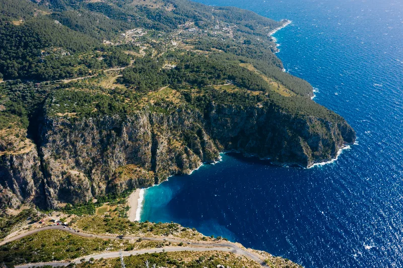
The lagoon at the foot of Babadağ is the mountain's most familiar companion feature. Sheltered by the sandbar, its water is calm and shallow relative to the open sea beyond. From the upper slopes of the mountain, the shape of the lagoon, the sandbar and the indented coastline is clearly visible, along with the wooded ridges that continue south toward Faralya and the steep valley known as Butterfly Valley.
How the Mountain Changes Through the Year
Summers are hot and dry, and the exposed rock of the upper mountain holds heat through the day. Winter brings cooler, wetter weather, and snow can settle on the highest ground, though it rarely lasts long. Spring and autumn are generally the mildest periods, with clearer air and moderate temperatures. Wind and cloud conditions on the summit can differ sharply from those at sea level, and the mountain is often capped by cloud while the coast remains clear.
Reaching and Moving Around the Area
Access to the mountain is from the Ölüdeniz and Fethiye side. A winding road climbs the flanks of Babadağ toward the upper slopes, and a cable car line also ascends from the Ölüdeniz area to a high station. Both the road and the cable car serve the upper mountain, which is used for paragliding; flights depend entirely on weather and wind, so activity on the summit varies from day to day.
The terrain above the road is steep limestone and not a conventional walking environment. Off-path movement over loose rock and scrub is difficult, and there is little shelter on the upper slopes. Visitors planning to spend time at height should expect strong sun, sudden wind and rapid changes in visibility.
Practical Conditions to Keep in Mind
Babadağ is an exposed mountain with a maritime climate. Temperatures fall with altitude, and the summit can be considerably cooler and windier than the coast even on warm days. Cloud can form quickly over the ridge. Because the surroundings are protected and the slopes are unstable in places, staying on established routes and taking local conditions seriously are the basic practical realities of a visit.
Related Natural Places Nearby
The mountain sits within a compact group of distinctive landscapes. The Ölüdeniz lagoon and sandbar lie immediately below. To the south, the steep forested valley of Butterfly Valley opens to the sea near Faralya. Further inland, the Saklıkent canyon cuts through limestone in the same broader geological setting, and the bays and islands around Göcek continue the limestone-and-water scenery that defines this part of Muğla.
Beaches & bays
See the coast →
Related content
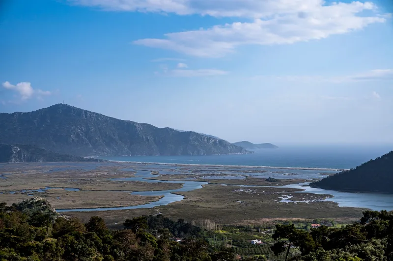
Muğla
Muğla is a captivating province in southwestern Türkiye, renowned for its stunning Aegean coastline and rich cultural heritage.
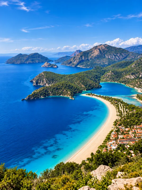
Ölüdeniz
A coastal area near Fethiye in southwestern Türkiye, known for its sheltered lagoon, turquoise water, surrounding mountains, beaches and Mediterranean landscape.
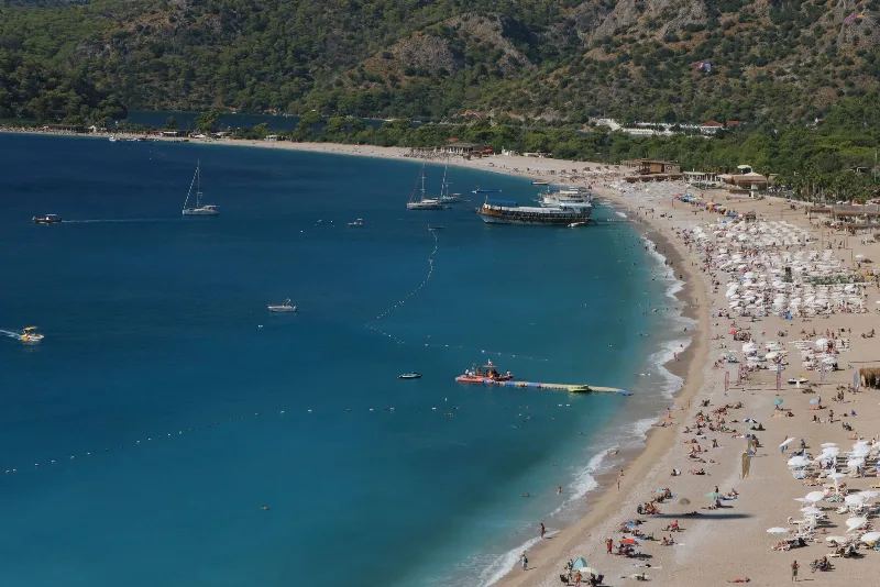
Ölüdeniz
Ölüdeniz, Türkiye'nin Fethiye ilçesine yakın bir konumda bulunan, sakin turkuaz suları ve yamaç paraşütü imkanları ile ünlü bir lagün ve plajdır.
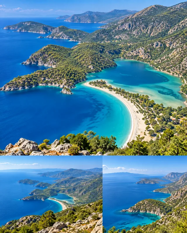
Ölüdeniz Blue Lagoon
A sheltered lagoon near Fethiye surrounded by forested hills, calm water and the Mediterranean coast.
Faralya
Faralya is a small village in the Fethiye district of Muğla, perched on a pine-covered ridge directly above Butterfly Valley and used as a stage point on the Lycian Way. Its position high above the sea, rather than at the shoreline, is what sets it apart from the resorts around it.
Fethiye's Scenic Beauty
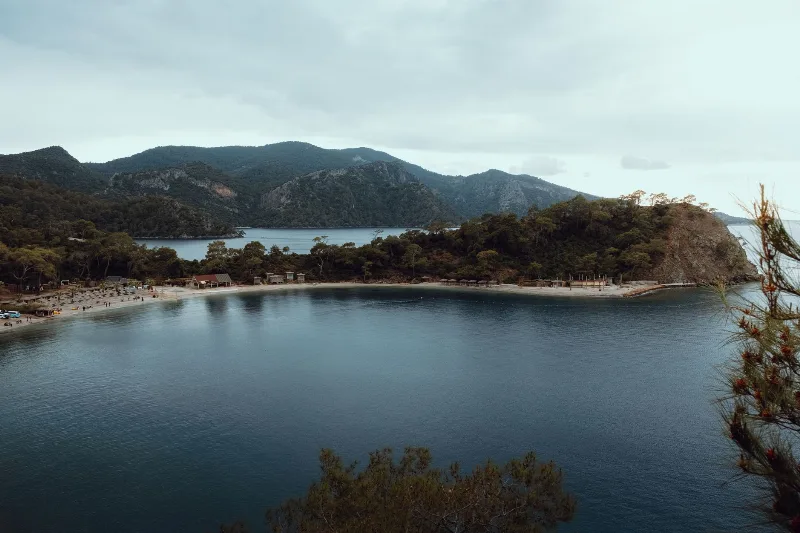
Fethiye blends turquoise Mediterranean bays with pine-covered mountains and Lycian history. Its lagoons, coves and gorges make the southwestern coast of Türkiye a rewarding place to explore.