
Faralya
Faralya is a small village in the Fethiye district of Muğla, perched on a pine-covered ridge directly above Butterfly Valley and used as a stage point on the Lycian Way. Its position high above the sea, rather than at the shoreline, is what sets it apart from the resorts around it.
Faralya is a small village in the Fethiye district of Muğla Province, in south-western Türkiye. It sits on a steep, pine-clad ridge on the Teke Peninsula, directly above Butterfly Valley (Kelebekler Vadisi), and it is a well-known stage point on the Lycian Way long-distance walking trail. What distinguishes Faralya from the coastal resorts around it is its altitude: the settlement stands several hundred metres above the Mediterranean rather than at the water's edge, looking down over a deep gorge and an isolated beach.
Where Faralya Lies Within Muğla
Faralya belongs to the Fethiye district, the large coastal district that stretches along the Gulf of Fethiye and southward down the Teke Peninsula. The village is positioned between Ölüdeniz to the north and Kabak to the south, on the mountain road that follows this stretch of coastline. Inland, the mass of Babadağ rises above the coast; the village occupies part of its lower western flank, where the land falls away sharply towards the sea in a series of rocky slopes and wooded gullies.
Because the terrain drops so steeply, Faralya has no harbour and no seafront of its own. The sea is visible and audible from the ridge, but it is reached on foot or by boat, not by simply stepping off a village street.
The Ridge Above Butterfly Valley
The feature that defines Faralya more than anything else is Butterfly Valley, the narrow gorge that opens onto the sea immediately below the village. The valley is a steep-sided canyon with high cliffs on both sides and a pebble beach at its mouth, cut off from the road by the surrounding rock. It takes its name from the butterflies recorded in the sheltered, humid microclimate of the gorge.
There are only two practical ways into the valley. The first is by boat, with seasonal trips running from the Ölüdeniz side along the coast. The second is on foot, following a steep and sometimes loose path that descends from the Faralya ridge into the gorge. That descent is demanding, and the climb back up is considerably harder than the way down; anyone attempting it should treat it as a serious walk rather than a short stroll from the village.
What the Village Itself Is Like
Faralya is a working village rather than a purpose-built resort, and its layout reflects the slope it occupies. Houses are scattered along the ridge and on terraces cut into the hillside, with narrow lanes running between them and small plots of land attached to each property. The older buildings are modest and low, built with thick walls and relatively small windows, a design suited to a climate with long, hot summers. Many houses have since been rebuilt or enlarged in concrete, so the village presents a mix of older vernacular structures and newer construction rather than a single uniform style.
Because the settlement is spread out and the land is uneven, walking around Faralya is itself a series of short climbs and descents. Stone walls, garden plots and stands of pine and olive trees separate one part of the village from another, and the gaps between buildings open repeatedly onto views down towards the sea.
The Lycian Way and Walking in the Area
The Lycian Way, the long-distance trail that runs along the Teke Peninsula, passes through Faralya, and this is one of the reasons the village is so widely known among walkers. The route approaches along the coast and the ridge, uses the village as a natural resting point, and then continues south towards Kabak. For many hikers it marks a convenient break in a long stage, offering a place to stop before or after the descent towards the next bay.
Beyond the long-distance trail, the area around Faralya is crossed by footpaths linking the village to the valley below, to neighbouring stretches of coast and to the roads running north and south. These paths are not uniformly waymarked, the surface is often rocky or loose, and shade is limited on the exposed sections, so a reasonable level of fitness and proper footwear make a real difference.
How to Reach Faralya
Faralya is reached by road. The village lies on the mountain road that runs south from the Ölüdeniz area towards Kabak, so it is normally approached either from Ölüdeniz or from Fethiye, the district centre on the coast to the north. The drive climbs away from the shoreline and follows the ridge, with the sea on one side and the slope of Babadağ on the other.
Minibuses (dolmuş) serve this route during the summer season, and the journey from Fethiye or Ölüdeniz is short by road even though the terrain feels remote. For visitors arriving by air, Dalaman is the nearest international airport, situated south of Fethiye, from where the onward journey is made by road. Because the final approach is on a winding mountain road, travel times can be longer than the distance alone suggests.
When to Visit
Spring and autumn are the most comfortable periods. In April and May the slopes are green, the walking is pleasant and the heat is manageable; September and October bring cooler conditions and clear light after the intensity of high summer. July and August are hot and dry, and any walking is best done early in the morning or late in the afternoon, with plenty of water carried.
Winter along this coast is mild but wet, and rain can make the steeper paths slippery and the descents into the valley unsafe. Coastal boat access to Butterfly Valley is seasonal rather than year-round, which affects how the valley can be reached outside the warmer months.
Practical Points Before You Go
Nearby Places Connected to Faralya
To the north, Ölüdeniz is the best-known coastal settlement in the area, with its sheltered lagoon and the boat services that reach Butterfly Valley from the sea. Between Ölüdeniz and Faralya lies the abandoned village of Kayaköy, whose stone houses stand empty on the hillside inland. Further south along the same road is Kabak, another bay reached by the Lycian Way and by road. Fethiye, the district centre, is the main point of reference for transport and supplies for the whole area, and it is also where the region's Lycian rock tombs are cut into the cliff above the town.
From the land
Find All →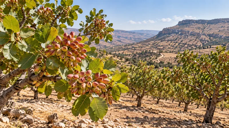
Siirt Pistachios
Siirt pistachios are a distinctive variety of pistachio grown in Siirt province, southeastern Türkiye. The region's hot, dry climate and rocky soils give these nuts their character and tie them closely to the local agricultural landscape.
Explore →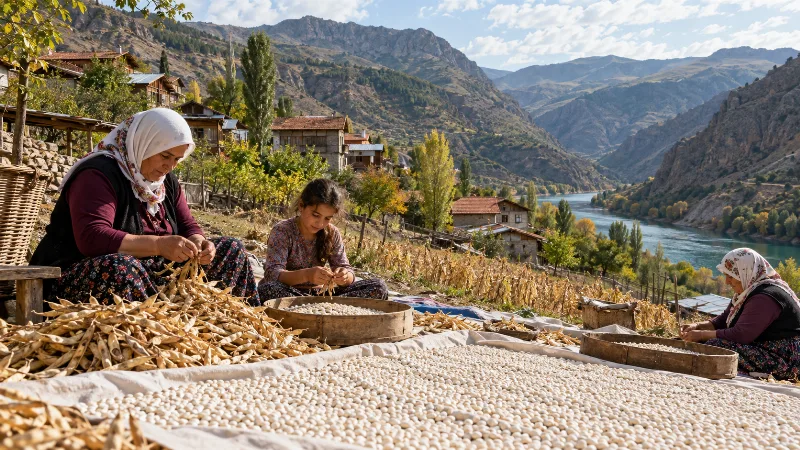
İspir Beans
İspir beans are dried beans grown in the high Çoruh valley of Erzurum province, where cold nights and a short growing season give them a firm texture and earthy flavour prized in Turkish home cooking.
Explore →
Kahramanmaraş Peppers
Kahramanmaraş peppers are the red peppers grown on the inland plains of southern Türkiye, where hot, dry summers and fertile soils give the crop its deep colour, moderate heat and smoky aroma.
Explore →Related content
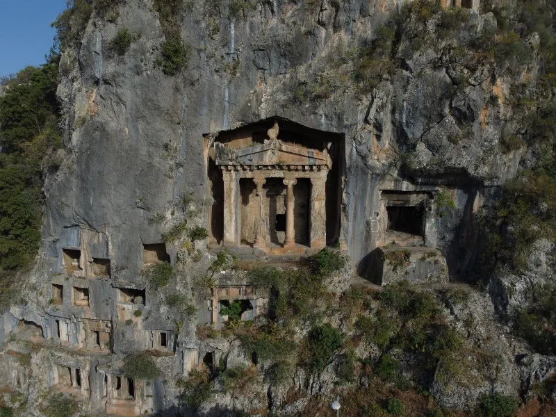
Fethiye
Fethiye is a captivating coastal town known for its stunning blue lagoon, thrilling paragliding experiences, and ancient rock tombs.
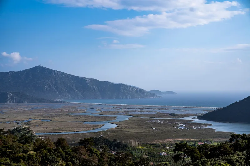
Muğla
Muğla is a captivating province in southwestern Türkiye, renowned for its stunning Aegean coastline and rich cultural heritage.
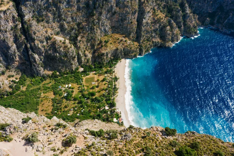
Butterfly Valley
Butterfly Valley in Fethiye, Türkiye is a stunning natural reserve accessible by boat, known for its diverse butterfly species and dramatic cliffs.
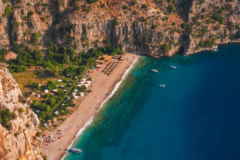
Kabak
Kabak is a secluded village and beach in Muğla, Turkey, known for its unspoiled beauty and relaxed atmosphere. It is a popular stop on the Lycian Way, offering a pebble beach, steep cliffs, and simple accommodations.
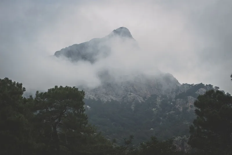
Mount Babadağ
Mount Babadağ is a limestone mountain in Muğla Province, south-western Türkiye, rising steeply above the Ölüdeniz lagoon to a summit of roughly 1,960 metres. Its exposed rock faces and rapid drop to the sea have made it one of the best-known coastal mountains in the country.
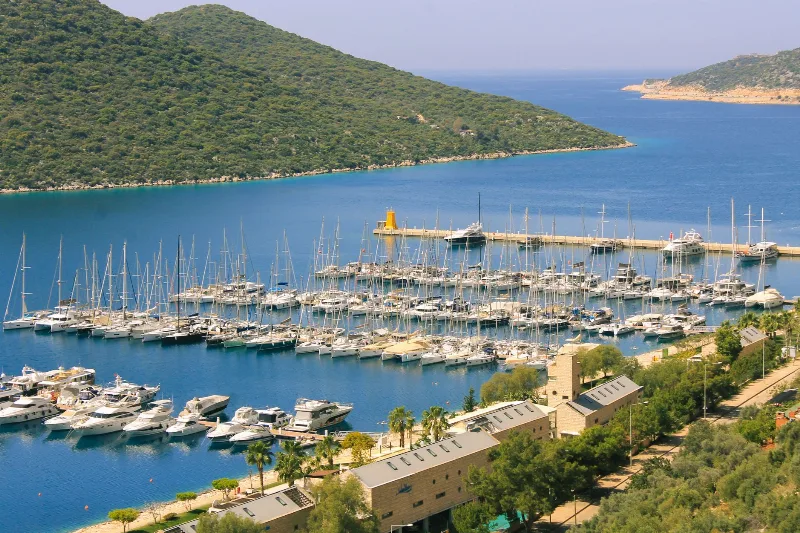
5-Day Fethiye to Kaş Lycian Coast Route
A five-day linear route along the Lycian coast from Fethiye to Kaş, linking Ölüdeniz, Kabak, the Xanthos valley, Patara and Kalkan by road and on foot.