
Hazar Lake and the Sunken City in Elazığ
Hazar Lake is a large tectonic lake south-east of Elazığ in Eastern Anatolia, known for its clear water and for the submerged remains of an older settlement that lie beneath its surface.
Hazar Lake lies in Eastern Anatolia, roughly twenty-five kilometres south-east of the city of Elazığ, close to the district of Sivrice. Stretching in a long, narrow band between steep hills, it is one of the region's most distinctive natural features: a deep, tectonic lake whose clear water holds the remains of a settlement that now lies beneath the surface. The combination of mountain scenery, quiet shoreline and underwater archaeology gives the lake a character quite unlike the busier resorts of the Turkish coast.
A Tectonic Lake in Eastern Anatolia
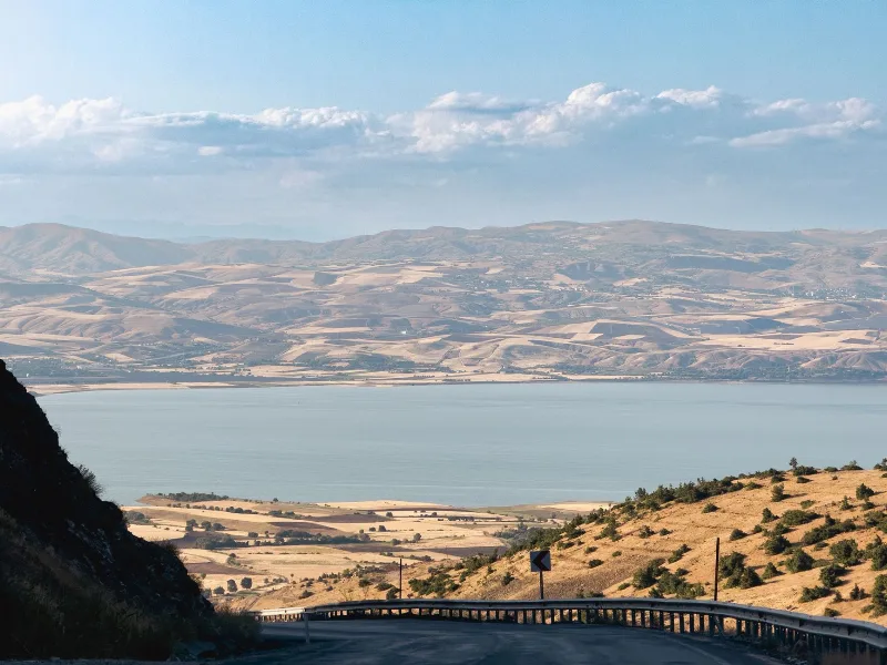
Hazar Lake owes its existence to the geology of the surrounding region. It sits in a depression formed along the East Anatolian Fault zone, a major structural line that has shaped the landscape of this part of Anatolia over a very long period. The lake is elongated, running roughly east to west for around twenty kilometres, and reaches considerable depths in its central section. Because it has no significant surface outlet, the water is mildly mineral-rich, and the shoreline is punctuated by small inlets and stony beaches rather than long sandy stretches.
The lake is framed by the Hazar Baba mountain range to the north and rising ground to the south, so the views across the water are dominated by bare, folded slopes that change colour through the day. In winter, snow can linger on the higher ridges, while summer brings warm, dry air and a strong, steady breeze that ripples the surface. This setting has made the lake a familiar landmark for travellers on the road between Elazığ and Diyarbakır.
The Sunken City Beneath the Water
The most unusual aspect of Hazar Lake is the presence of a sunken city beneath its surface. Over time, rising water levels submerged parts of an older settlement, and the remains of walls, foundations and other structures now rest on the lakebed. Because the water is notably clear, these submerged features are in places visible from the surface, and they have drawn the attention of underwater researchers as well as recreational divers.
The ruins are usually associated with a village that once stood close to the water's edge before the lake expanded. Local accounts describe buildings, streets and masonry that disappeared as the shoreline shifted. The site is valued as a record of how settlement patterns in the region have been shaped by natural processes, and it offers a rare chance to see the remains of ordinary buildings preserved underwater rather than excavated on dry land.
Diving and Clear Water
Divers are attracted by the visibility the lake can offer, particularly in calmer seasons when sediment settles and the water clears. The submerged structures provide a focus for exploration, and the depth of the lake means that conditions vary considerably between the shallow margins and the centre. Water temperatures are cooler than the coastal waters of the Mediterranean, so appropriate equipment is important. Beyond diving, the lake supports sailing, windsurfing and other quiet water-based activities, and its open stretches make it suitable for small craft.
Wildlife and Landscape Around Hazar Lake
The shores and shallows of Hazar Lake support a range of birdlife, and the surrounding hills carry typical Eastern Anatolian vegetation: sparse scrub, hardy grasses and scattered trees on the lower slopes. Fish are present in the lake, and angling is part of the local way of life. The mix of open water, reed-edged inlets and dry upland creates a varied habitat that rewards patient observation, especially in the quieter hours of early morning.
Life Around the Shore
The settlements near the lake, including Sivrice, reflect the agricultural traditions of the region. Cereals, fruit and other crops are grown on the surrounding land, and the lake itself has long been part of local livelihood and recreation. Picnic spots along the shoreline are used by families from Elazığ, particularly in the warmer months, and the area is a familiar escape from the summer heat of the plain. On the plain below, the city of Elazığ offers museums, markets and a distinctive culinary tradition built around local produce.
For travellers interested in geology, underwater heritage and the quiet scenery of inland Anatolia, Hazar Lake brings these elements together in a single place. Its sunken city, clear water and mountain setting make it a subject of continuing interest to divers, historians and anyone who values landscapes where nature and human history meet.
Related content
Diyarbakır
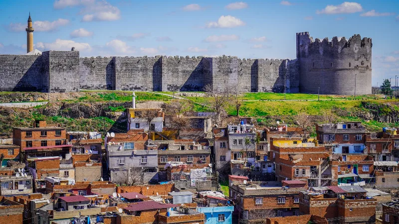
Diyarbakır is a major city in southeastern Türkiye, set on the upper Tigris River and encircled by one of the world's longest surviving circuits of ancient walls. Its black basalt architecture and Kurdish cultural identity distinguish it within the region.
Lake Hazar
Lake Hazar is a deep tectonic lake in Elazığ Province, eastern Türkiye, held in a mountainous basin formed by movement along the East Anatolian Fault Zone and known for its clear, mineral-rich water.
Munzur Valley
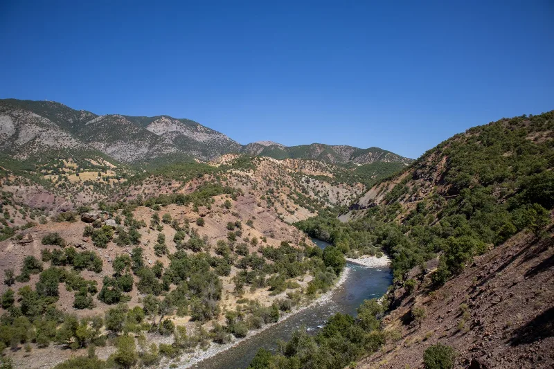
Munzur Valley National Park in Tunceli Province protects a deep river gorge in the Munzur Mountains, known for endemic wildlife and its significance to Alevi communities in eastern Turkey.

Elazığ Apricots
Elazığ apricots are a regional apricot product from eastern Türkiye, valued for their juicy, flavorful fruit. The province’s climate and fertile soils support both fresh use and traditional drying.
The Historic City Walls of Diyarbakır
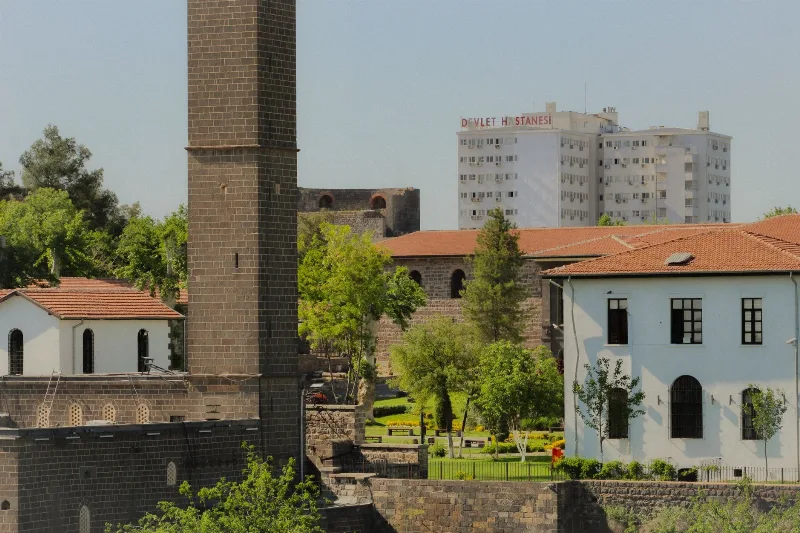
Explore the ancient city walls of Diyarbakır, a UNESCO World Heritage Site, renowned for their historical significance and architectural grandeur.
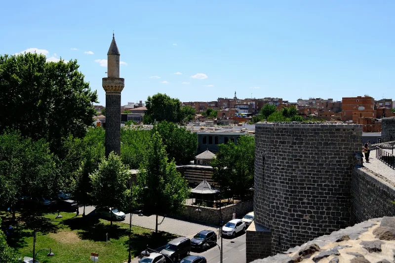
Diyarbakır's Historic Walls
The black basalt ramparts of Diyarbakır in southeastern Türkiye enclose a historic old town and overlook the Tigris River and the Hevsel Gardens. Their gates, towers and inscriptions record centuries of Anatolian and Mesopotamian history.
Diyarbakır City Walls and Hevsel Gardens
A basalt fortress encircles the old city of Diyarbakır, while a fertile belt of market gardens runs down to the Tigris below its towers. Together they form a landscape shaped by centuries of farming and defence.
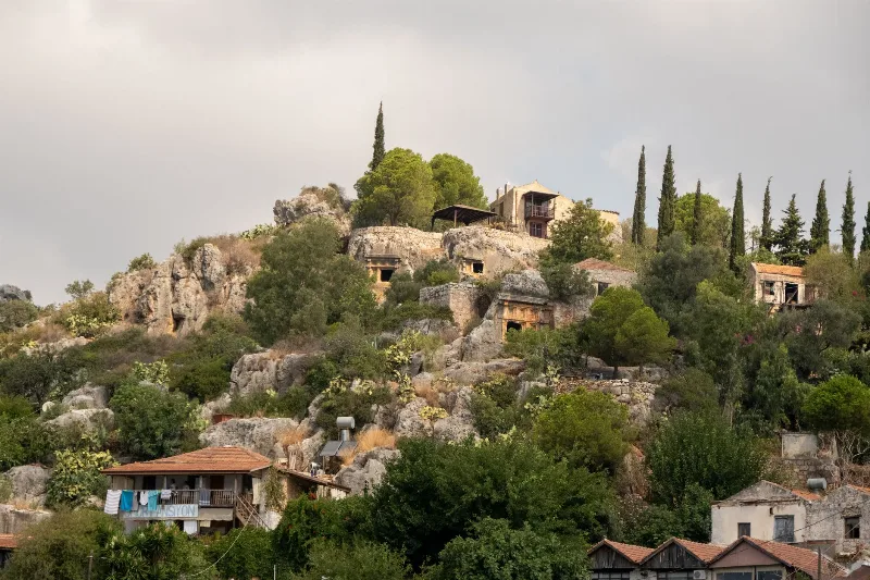
Kaş and the Sunken City of Kekova
Kaş is a small Lycian coastal town in Antalya Province, facing the clear Mediterranean waters around Kekova, where an ancient sunken city rests just below the surface.