
Diyarbakır
Diyarbakır is a major city in southeastern Türkiye, set on the upper Tigris River and encircled by one of the world's longest surviving circuits of ancient walls. Its black basalt architecture and Kurdish cultural identity distinguish it within the region.
Diyarbakır is a major city in southeastern Türkiye and the administrative centre of Diyarbakır Province. It stands on the upper course of the Tigris (Dicle) River, near the northern edge of Mesopotamia, where the Anatolian plateau gives way to the broader plains of the southeast. What primarily distinguishes it is its enormous circuit of black basalt city walls, one of the longest and best-preserved fortified enclosures of the ancient world, which still wrap around the historic core and shape the city's identity.
Geographical Setting
Diyarbakır occupies a basalt plateau above the Tigris, at a point where the river bends through the surrounding lowlands. The site was chosen for its defensibility: the plateau rises slightly above the river plain, offering natural protection on several sides. To the south and west, the terrain opens toward the flat agricultural lands that lead gradually into the Mesopotamian plain, while to the north and east the ground becomes more rugged as it climbs toward the eastern Taurus foothills. The volcanic mass of Karacadağ lies to the southwest of the city and is one of the defining features of the wider provincial landscape. The Tigris itself flows east of the walled centre, and the strip of cultivated land between the walls and the riverbank forms a distinctive green belt.
The Walled City and Basalt Architecture
The heart of Diyarbakır is the old town known as Sur, enclosed by an unbroken ring of dark basalt walls that stretch for several kilometres and are punctuated by numerous towers and gates. The walls have been repaired and rebuilt across many centuries, reflecting Roman, Byzantine, Islamic and Ottoman phases of construction, and they remain the city's defining monument. Basalt is also the material that gives the old town its visual character: many mosques, hans, mansions and streets are built from the same dark grey stone, creating a uniform and immediately recognisable urban texture. Within the walls, a network of historic streets links mosques, caravanserais, churches and traditional courtyard houses. The inner citadel, known as İçkale, occupies a raised area within the enclosure and contains further historic structures.
Landmarks and the Historic Core
Among the principal monuments of the old city is the Grand Mosque (Ulu Cami), which is counted among the oldest mosques in Anatolia and has served as a major place of worship for centuries. The Behram Paşa Mosque and the Hasan Pasha Han, an Ottoman-era caravanserai, are other prominent historic buildings within the walls. The city also holds the Church of St. Giragos, an Armenian church that reflects the multi-communal history of the region. Several of these sites belong to the category of historic places, where detailed coverage of their architecture and chronology is best left to dedicated pages. Taken together, they demonstrate how Diyarbakır developed as a crossroads where different civilisations and faiths left their mark on the same streets.
The Tigris and the Hevsel Gardens
East of the walls, the Tigris River runs through the plain, and between the city and the water lies the Hevsel Gardens, a broad band of cultivated fields and orchards that has been worked for a very long time. This green corridor separates the built-up area from the river and has long supplied the city with produce. The relationship between the walled town, the gardens and the river is central to understanding Diyarbakır's geography, because the three elements developed together. Downstream from the city, historic bridges once carried traffic across the Tigris, and the wider province contains further bridges and river crossings that form part of the regional heritage.
Climate and Seasonal Character
Diyarbakır has a continental climate with strong seasonal contrasts. Summers are long, dry and very hot, with daytime temperatures frequently climbing well above 35°C, making the middle of the day uncomfortable for walking the exposed basalt streets and walls. Winters are markedly cold, with frost and occasional snow on the plateau. The most comfortable periods for exploring the old city and the surrounding countryside generally fall in spring and autumn, when temperatures are moderate and the gardens along the Tigris are at their greenest. Spring also brings brief seasonal colour to the surrounding plains before the dry heat sets in.
Regional Context and Access
Diyarbakır functions as a major hub for southeastern Türkiye and is well connected to the surrounding provinces. Mardin lies to the south, Şanlıurfa to the southwest, Batman to the east and Elazığ to the northwest, so the city is often used as a base for exploring the wider region, which shares its mix of ancient stone architecture, river valleys and agricultural plains. The city has an airport and rail links that connect it with other parts of the country. Because of its position, it also serves as a natural starting point for understanding the Kurdish cultural landscape of the southeast, which is expressed in the city's language, music and daily life. For anyone planning a visit, Diyarbakır is best understood not as an isolated sight but as the urban anchor of a region defined by the Tigris, the basalt plateau and the long history of settlement along the edge of Mesopotamia.
Discover Food in Türkiye
All food →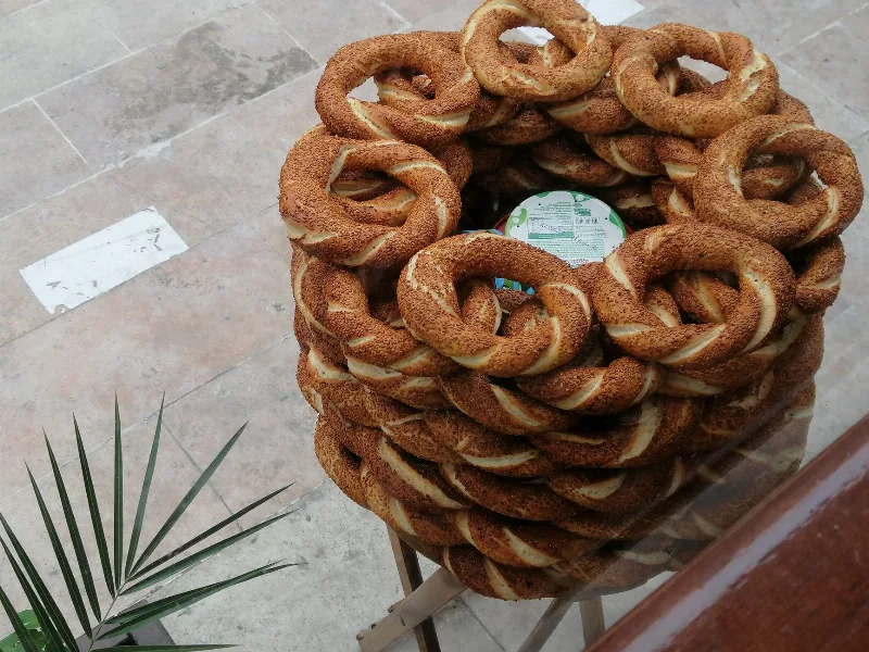
Simit
Simit is a ring-shaped Turkish bread covered in sesame seeds, strongly associated with Istanbul and sold as everyday street food. It is eaten fresh, most often with tea, and has a crisp crust around a chewy crumb.
Explore →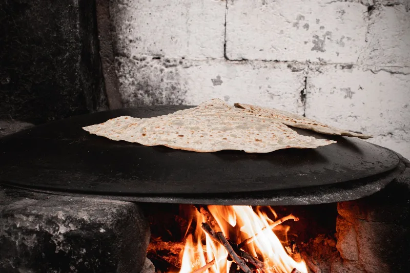
Bazlama
Bazlama is a soft, thick Turkish flatbread made from a leavened dough and cooked on a hot griddle. It is a staple of village baking across Anatolia, eaten warm with butter or used to wrap other foods.
Explore →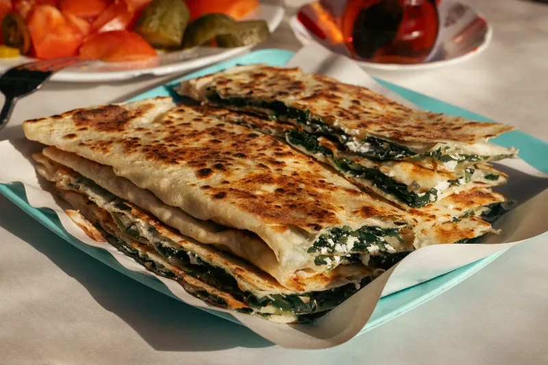
Gözleme
Gözleme is a thin, hand-rolled Anatolian flatbread folded around savory fillings such as cheese, spinach, or minced meat and cooked on a sac griddle. The article covers its regional variations, cooking method, texture, and traditional serving style.
Explore →Related content
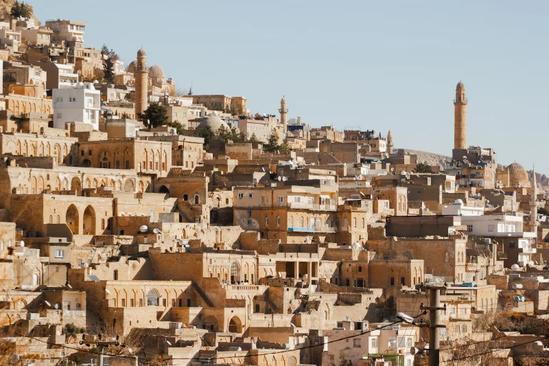
Mardin
Mardin is a historic city in southeastern Türkiye, built on a rocky hillside above the Mesopotamian plain and known for its honey-coloured stone architecture and Syriac Christian heritage.
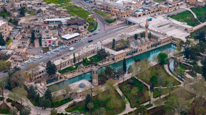
Şanlıurfa
Şanlıurfa, commonly called Urfa, is a large city in southeastern Türkiye and the capital of its province. It is known both as a place tied to the tradition of the Prophet Abraham and as the gateway to Göbekli Tepe, one of the oldest monumental sites ever found.
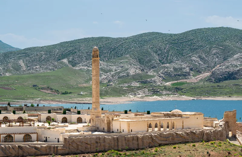
Batman
Explore Batman, southeastern Türkiye: history, standout sights, landscapes, local food and practical travel advice for an unforgettable journey in Türkiye.
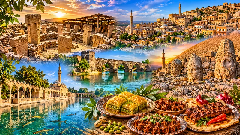
Southeastern Anatolia Region
Southeastern Anatolia is known for its ancient cities, extraordinary archaeological heritage, traditional stone architecture and rich culinary culture. From the historic streets of Mardin to the monumental landscapes of Şanlıurfa and the Euphrates River, the region reflects thousands of years of civilization.
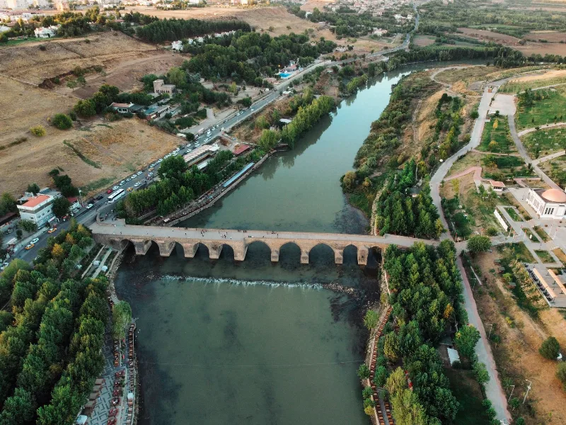
5-Day Tigris and Euphrates Route
A five-day, east-to-west journey across Southeastern Anatolia from Diyarbakır to Gaziantep, following the Tigris and Euphrates through Mardin, Şanlıurfa, Göbeklitepe and Harran.
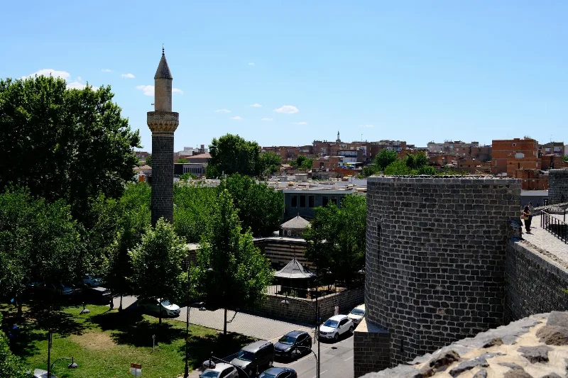
Diyarbakır's Historic Walls
The black basalt ramparts of Diyarbakır in southeastern Türkiye enclose a historic old town and overlook the Tigris River and the Hevsel Gardens. Their gates, towers and inscriptions record centuries of Anatolian and Mesopotamian history.