
Mardin
Mardin is a historic city in southeastern Türkiye, built on a rocky hillside above the Mesopotamian plain and known for its honey-coloured stone architecture and Syriac Christian heritage.
Mardin is a historic city in southeastern Türkiye and the administrative centre of Mardin Province. It is built along the southern face of a steep rocky hill, from which it looks out over the flat Mesopotamian plain that runs toward the Syrian border. The city is defined by its honey-coloured limestone architecture, a long Syriac Christian presence and a multicultural past shaped over centuries by Turkic, Arab, Kurdish, Armenian and Syriac communities.
Where Mardin Stands
Mardin sits in the Southeastern Anatolia region, close to the southern edge of Türkiye. The province borders Syria to the south, Şanlıurfa to the west, Diyarbakır to the north and Batman and Siirt to the east. The old city itself occupies a ridge at roughly 1,000 metres, and the ground drops sharply to the south. From the upper streets the view opens onto a wide, dry plain that continues into Mesopotamia, a contrast that has always defined Mardin's role as a borderland and a meeting point.
The hill is the key to the city's shape. Houses are stacked in terraces down the slope, so that the roof of one building often serves as a terrace for the row above. This stepped arrangement produces the layered skyline that is characteristic of Mardin when seen from the plain below.
Stone Architecture and Urban Character
The most recognisable feature of Mardin is its stone. Local limestone in tones from pale cream to warm gold is used for almost everything: houses, mosques, churches, madrasas, caravanserais and the archways that span the narrow lanes. Many façades carry carved decoration, and doorways and windows are typically framed by pointed or round arches.
The old town is a dense network of lanes rather than a grid. A main commercial axis runs along the ridge, and around it the streets branch into smaller alleys lined with courtyard houses. Because the settlement is compact and hilly, much of the historic centre is explored on foot, with stairs and slopes connecting the lower and upper quarters.
Historical Development and Cultural Identity
Mardin has been continuously inhabited for a very long time and has passed through Roman, Byzantine, Artukid, Ayyubid, Seljuk and Ottoman rule. Its position on routes linking Anatolia with Mesopotamia made it a trading and administrative centre as well as a religious one. Over the centuries it held a mixed population, and the city's identity today is closely tied to that plural past.
Among its communities, the Syriac Orthodox tradition has been especially important. Mardin and the surrounding Tur Abdin plateau are a historic heartland of Syriac Christianity, with churches, monasteries and a liturgical language that still survives in the region. Muslim, Syriac and other groups have lived side by side here, and this is reflected in the range of religious buildings concentrated within a small area.
The Old Town, Streets and Squares
The historic core holds most of what defines Mardin. Cumhuriyet Square and the main ridge street act as the social and commercial centre, with shops, workshops and old stone buildings along the way. From here, side alleys lead down toward the plain-facing edge of the hill, where viewpoints open over the flat land below.
Several historic neighbourhoods cling to the slope, mixing houses, religious buildings and small squares. The scale is intimate and largely pedestrian, and the character of the place comes from the combination of stone, shadow and the constant background of the plain.
Major Landmarks and Religious Buildings
The city's landmarks are spread through the old town and its immediate surroundings. The Grand Mosque (Ulu Cami) and a number of historic madrasas, including the Zinciriye and Kasımiye complexes, represent the medieval Islamic architecture of the city. The Kasımiye Madrasa, slightly removed from the densest lanes, sits beside open ground and offers a wide view toward the plain.
Churches belonging to the Syriac and other Christian communities are found within the old town, while the important monastery complex of Deyrulzafaran lies just east of the city, historically the seat of the Syriac Orthodox patriarchate. Mardin also has museums, including the city museum and the museum housed in a former building on the ridge, which present the archaeology and ethnography of the province.
The Plain and the Tur Abdin Plateau
Below Mardin the land is a broad, dry plateau that becomes the Mesopotamian plain further south. The area is associated with wheat, barley, lentils and livestock, and it is dotted with small settlements and old sites. The ancient city of Dara, east of Mardin, is one of the better-known archaeological locations in the province.
To the east and northeast rises the Tur Abdin plateau, a limestone upland of villages and monasteries that forms the wider Syriac Christian landscape. The town of Midyat, with its own stone old town, lies in this direction, and Savur and Nusaybin are other districts within the province. Each of these places has its own character and is best treated separately.
Climate and When to Visit
Mardin has a continental climate with strong seasonal contrast. Summers are hot and dry, with daytime temperatures that can become intense, while winters are cold and can bring rain, sleet and occasional snow. Spring and autumn are the most moderate periods, with milder temperatures that suit walking through the hilly old town. Because the historic centre is steep and largely pedestrian, comfortable shoes and a reasonable level of mobility help.
Reaching Mardin and Its Regional Setting
Mardin is served by an airport located southeast of the city, with road connections linking it to Şanlıurfa and Diyarbakır and to the wider southeastern region. Within the province, road travel connects the city with Midyat, Savur, Nusaybin and other district centres.
Mardin works as a base for understanding southeastern Türkiye: it is close enough to the Tur Abdin monasteries, the plain sites and the neighbouring historic towns to be explored together, yet distinct from all of them because of its hilltop position, its stone architecture and its layered religious heritage.
Discover Food in Türkiye
All food →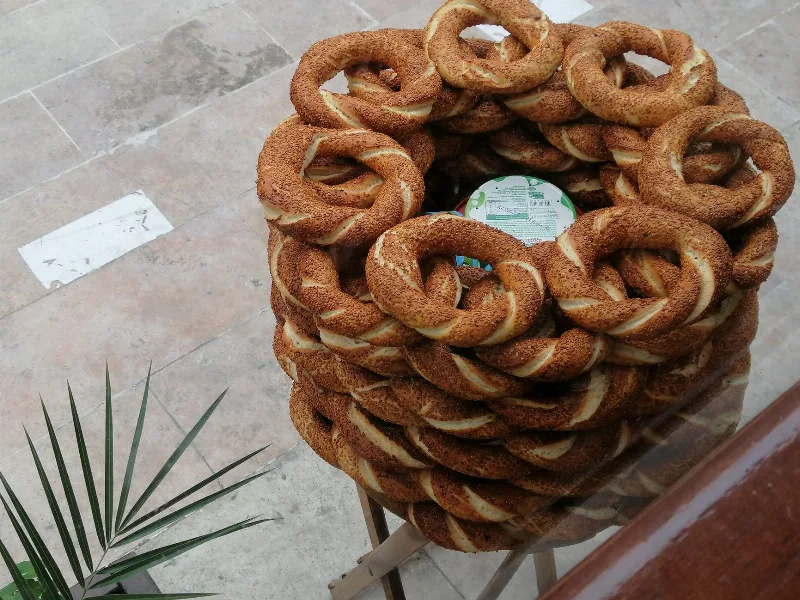
Simit
Simit is a ring-shaped Turkish bread covered in sesame seeds, strongly associated with Istanbul and sold as everyday street food. It is eaten fresh, most often with tea, and has a crisp crust around a chewy crumb.
Explore →
Bazlama
Bazlama is a soft, thick Turkish flatbread made from a leavened dough and cooked on a hot griddle. It is a staple of village baking across Anatolia, eaten warm with butter or used to wrap other foods.
Explore →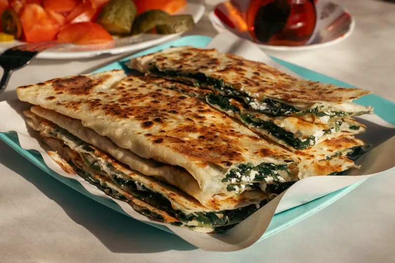
Gözleme
Gözleme is a thin, hand-rolled Anatolian flatbread folded around savory fillings such as cheese, spinach, or minced meat and cooked on a sac griddle. The article covers its regional variations, cooking method, texture, and traditional serving style.
Explore →Related content
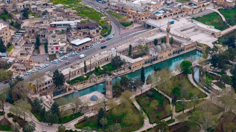
Şanlıurfa
Şanlıurfa, commonly called Urfa, is a large city in southeastern Türkiye and the capital of its province. It is known both as a place tied to the tradition of the Prophet Abraham and as the gateway to Göbekli Tepe, one of the oldest monumental sites ever found.
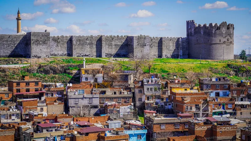
Diyarbakır
Diyarbakır is a major city in southeastern Türkiye, set on the upper Tigris River and encircled by one of the world's longest surviving circuits of ancient walls. Its black basalt architecture and Kurdish cultural identity distinguish it within the region.
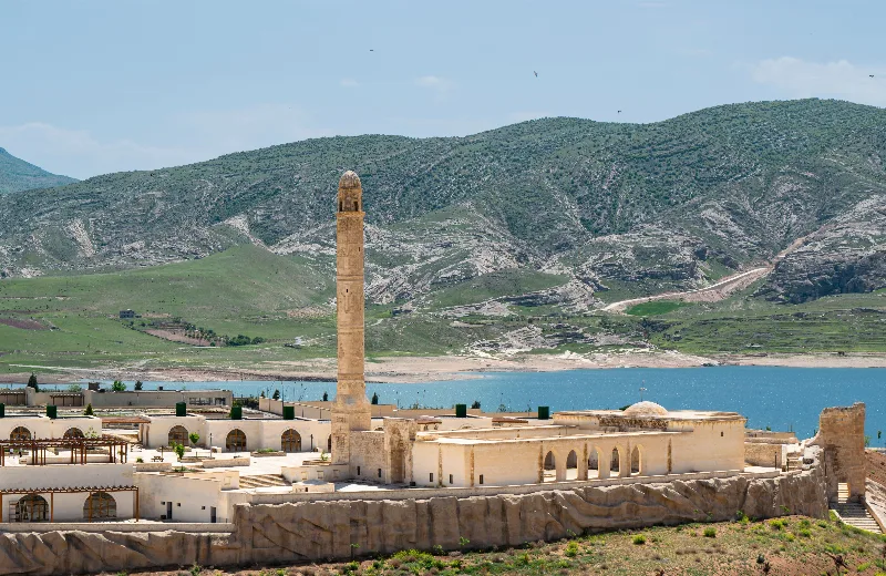
Batman
Explore Batman, southeastern Türkiye: history, standout sights, landscapes, local food and practical travel advice for an unforgettable journey in Türkiye.
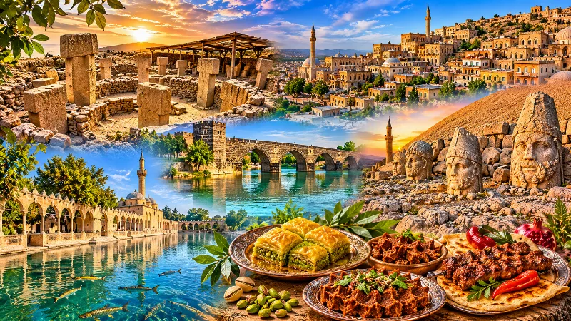
Southeastern Anatolia Region
Southeastern Anatolia is known for its ancient cities, extraordinary archaeological heritage, traditional stone architecture and rich culinary culture. From the historic streets of Mardin to the monumental landscapes of Şanlıurfa and the Euphrates River, the region reflects thousands of years of civilization.
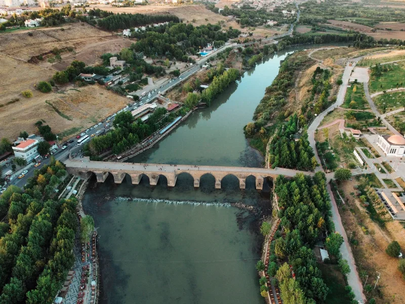
5-Day Tigris and Euphrates Route
A five-day, east-to-west journey across Southeastern Anatolia from Diyarbakır to Gaziantep, following the Tigris and Euphrates through Mardin, Şanlıurfa, Göbeklitepe and Harran.
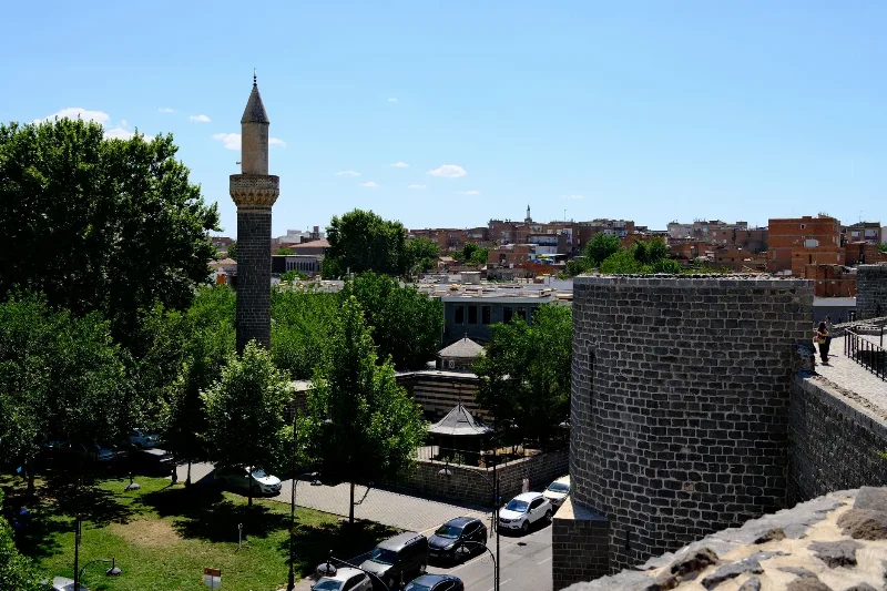
Diyarbakır's Historic Walls
The black basalt ramparts of Diyarbakır in southeastern Türkiye enclose a historic old town and overlook the Tigris River and the Hevsel Gardens. Their gates, towers and inscriptions record centuries of Anatolian and Mesopotamian history.