
Muradiye Waterfall
Muradiye Waterfall is a broad river fall on the Bendimahi River in Van Province, eastern Türkiye, where snowmelt-fed water drops over dark volcanic rock in a green valley above Lake Van.
Muradiye Waterfall (Muradiye Şelalesi) is a river waterfall in the Muradiye district of Van Province in eastern Türkiye, formed where the Bendimahi River drops over dark volcanic rock. It is not a single high plunge but a broad fall spreading across a rock ledge, set in a green, tree-lined valley that stands out sharply against the dry upland plateau of the Van basin. The water is snowmelt-fed, the surrounding ground is volcanic, and the volume of the fall changes markedly between spring and late autumn.
Where Muradiye Waterfall sits in the Van basin
The waterfall lies in the northern part of the Lake Van basin, close to Muradiye town, which sits on the main road running north from Van toward Doğubayazıt. This is inland country rather than lakeshore: the falls are reached from the district centre, not from the lake itself, even though Lake Van lies only a short distance to the south. The town is also known historically as Berkri, and the surrounding plain carries the same name as the river.
The Bendimahi River rises on the volcanic ground to the north and northeast of the district and flows down through the plain toward Lake Van. The waterfall is one point along that course, where the river crosses a step in the terrain and loses height in a short, concentrated drop before continuing its way south. Because the fall is fed by the same river that drains a high, snow-holding catchment, its appearance depends far more on the season and on the previous winter's snowfall than on rainfall in the days before a visit.
The Bendimahi River and its volcanic bed
The defining feature of this waterfall is what the water falls over. The wider region is volcanic, dominated by the broad bulk of Tendürek Dağı to the northeast, and the bedrock in the Bendimahi valley is largely of volcanic origin. The river cuts through these dark rocks and drops over them, so the face of the fall is dark rather than the pale limestone that shapes many Turkish waterfalls. The contrast between white, aerated water and blackish rock is what gives the site its particular look.
The river itself is a mountain-stream system: shallow and fast in its upper course, carrying cold water, and widening as it crosses the plain. At the fall the water spreads across the rock ledge instead of pouring through a narrow notch, which is why the drop reads as a curtain rather than a spout, and why the shape of the falling water shifts as the flow rises and falls.
What the landscape around the falls looks like
Immediately around the waterfall the valley is green and relatively sheltered, with leafy trees along the riverbanks and vegetation kept alive by the water itself. This is a strong contrast with the open country above: the Muradiye plain is farmland and orchard country, irrigated from the river, while the higher slopes beyond it are drier, sparser upland with thin vegetation over volcanic soil.
Looking outward from the falls, the landscape reads in layers — the enclosed green river corridor, the flat agricultural plain, then dry volcanic slopes rising toward Tendürek, with the blue expanse of Lake Van visible in the opposite direction on clear days. The waterfall is therefore best understood as a feature of a river corridor rather than of a mountain summit or a lake edge.
How the waterfall changes through the seasons
The fall is at its strongest in spring and early summer, when snow melting from the high ground above the valley feeds the Bendimahi. In this period the water covers most of the rock face, throws spray, and the river below runs high and cold. Late spring is the moment when the waterfall looks most like the images most people associate with it.
By mid-summer the snowmelt has largely passed and the flow drops, so the fall narrows and parts of the dark rock become visible between the streams of water. The surrounding valley stays green because of irrigation and groundwater, which is why the site remains lush even as the river itself thins. Autumn brings the lowest flows of the year, with the rock face most exposed and the water reduced to a smaller number of channels.
Winter is a different scene again. The district lies high enough for hard frosts and regular snow, and in cold spells the flow falls to a fraction of its spring volume, with ice forming on the rock and around the edges of the falling water. Snow can lie on the surrounding ground for extended periods, and access on foot becomes more awkward than in the warmer months.
Climate and natural conditions to expect
Muradiye sits at roughly 1,700 metres in a continental upland climate. Summers are warm and bright by day but cool after dark, with strong sun at this altitude; winters are long and genuinely cold, with snow and sub-zero temperatures. Spring and autumn are transitional and can be changeable, with cool mornings and sudden shifts in wind and cloud.
The water is cold at any time of year, being snowmelt-fed, and the rock around the fall is wet and can be slippery where spray keeps it damp. Ground close to the river is uneven, with loose stones and bank vegetation, and the terrain should be treated as natural riverside ground rather than a prepared surface. Sturdy footwear and a layer for cool evenings are more useful here than anything specialised.
Reaching the waterfall and exploring the immediate area
The falls are reached from Muradiye, which is connected by road to Van city to the south and to Doğubayazıt to the north. From the district the waterfall is a short onward trip by road into the Bendimahi valley, and the final approach to the water is made on foot over short, uneven ground. Because the site lies off the main highway but close to the district centre, it is normally combined with travel along the Van–Doğubayazıt corridor rather than treated as a remote destination in its own right.
A visit is essentially about looking at the fall and the river corridor: the rock face, the pool and channel below, the trees along the bank, and the contrast between the sheltered valley and the open plain beyond it. There is no need to plan around a long approach; the scale of the site is compact, and the time spent is governed by how long you want to stand at the water and walk the immediate surroundings.
Related natural features in the surrounding region
The waterfall makes most sense as one element of the northern Van basin. Lake Van, the largest lake in the country and a soda lake, lies to the south and defines the whole regional landscape. Tendürek Dağı, the volcanic mountain that shapes the drainage and geology of the Bendimahi catchment, stands to the northeast. The Muradiye plain itself, irrigated by the same river, provides the agricultural setting between the falls and the lake. Travellers heading further north along the same corridor pass into the wider volcanic uplands toward Doğubayazıt, where the landscape becomes progressively more open and severe.
Beaches & bays
See the coast →
Related content
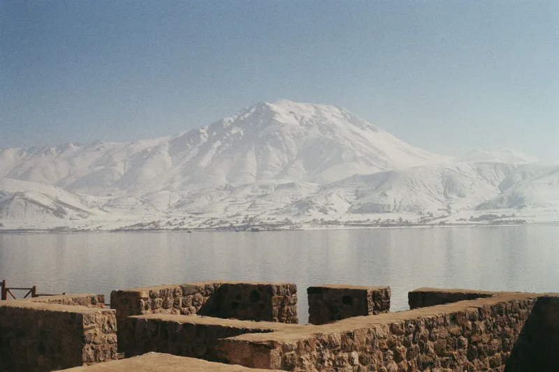
Lake Van
Lake Van is Turkey's largest lake, a vast alkaline soda lake with no outlet, set in the volcanic highlands of Eastern Anatolia at around 1,640 metres. Its unusual chemistry, depth and islands give it a character unlike any other lake in the country.
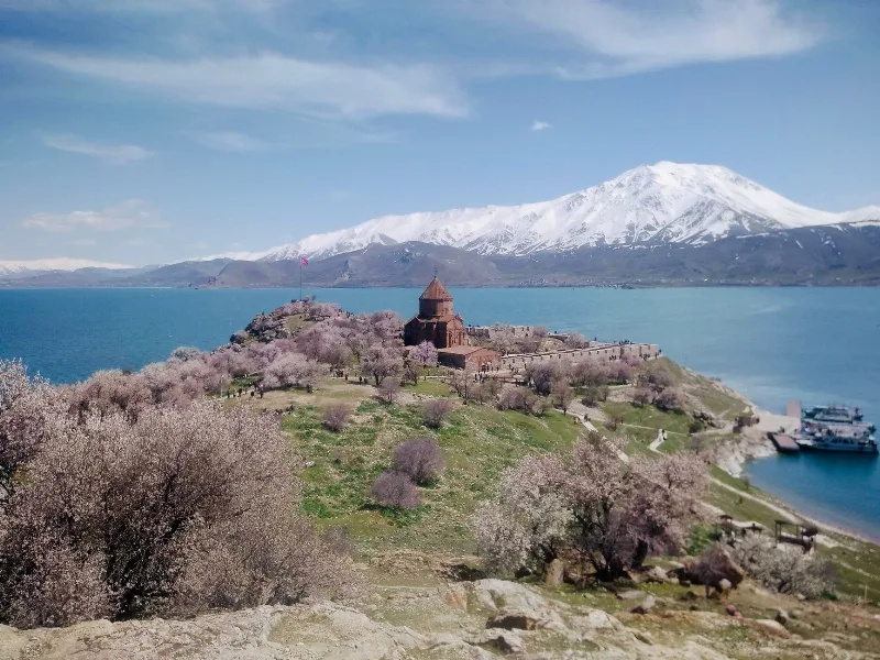
Lake Van
Lake Van is Turkey's largest lake and the world's largest soda lake, located in Eastern Anatolia. It is known for Akdamar Island and its 10th-century Armenian Church of the Holy Cross.
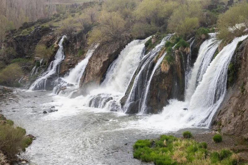
Van's Spring Festival
Spring in Van brings Nevruz and Hıdırellez celebrations, blooming landscapes around Lake Van, and fresh local foods. Discover how eastern Türkiye welcomes the season with culture, nature, and community traditions.
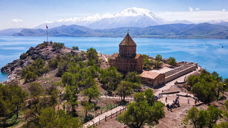
Akdamar Island
Akdamar Island is the largest island in Lake Van, eastern Turkey, and holds the 10th-century Armenian Cathedral of the Holy Cross, whose outer walls are covered in carved biblical reliefs. It is reached by boat from a pier near Gevaş and is usually visited as a day trip from Van.
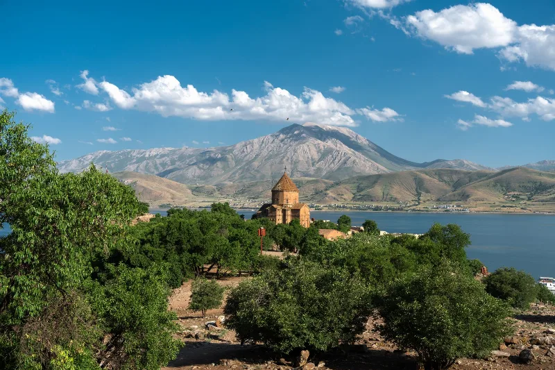
Van
In Türkiye's far east, Van pairs a vast soda lake with a tenth-century island church and a local white cat known for its mismatched eyes. The city itself is a highland base of Urartian ruins, hard winters and an unusually generous breakfast table.
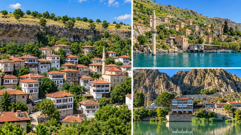
Exploring Turkey Beyond the Best-Known Destinations
A look beyond Turkey’s most famous destinations to smaller towns, villages, coastlines, highlands and historic landscapes across the country.