
Lake Sapanca
Lake Sapanca is a long, narrow freshwater lake in the Sakarya–Kocaeli border zone of north-western Türkiye, formed in a tectonic basin close to the North Anatolian Fault and bordered by forested hills, orchards and reed-lined stream mouths.
Lake Sapanca (Sapanca Gölü) is a freshwater lake in north-western Türkiye, lying mainly within Sakarya Province while its western end extends into Kocaeli Province. It occupies a tectonic depression between the city of Adapazarı to the east and the Gulf of İzmit to the west, roughly 90 kilometres east of Istanbul. The lake is markedly elongated, running about 16 kilometres from east to west but only around five to six kilometres across at its widest point. It lies at a low elevation, close to 35 metres above sea level, and its long axis follows the general east-west grain of the regional geology.
How the Lake Basin Was Formed
Sapanca is a tectonic lake, not a glacial or volcanic one. Its basin lies within the zone of influence of the North Anatolian Fault, the major strike-slip system that runs across northern Anatolia. Movement along this system has produced a subsided depression, and the lake fills the lowest part of that depression. The result is a long, narrow water body with relatively steep northern and southern margins where the surrounding hills rise directly from the shoreline. Depths are moderate to considerable for a lake of this surface area, and the basin floor is not uniform, which is consistent with a fault-controlled origin rather than a simple flat-bottomed hollow.
Water Sources and Drainage
The lake is fed by a number of small streams and creeks. The most significant inflows descend from the Samanlı Mountains, the forested range that rises to the south of the lake, while shorter streams enter from the northern slopes. Because the catchment is comparatively small and the lake is a closed basin except for one outlet, water levels respond noticeably to seasonal rainfall. The single outflow is Çark Creek, which leaves the lake and connects toward the Sakarya River system. The lake water is fresh and is used as a source of drinking water for settlements in the surrounding region, a fact that shapes how the shoreline and its buffer zones are managed.
Landscape and Vegetation Around the Shore
The immediate surroundings are a mix of wooded slopes, farmland and built-up shoreline. Broadleaf forest covers much of the higher ground, with beech, oak, hornbeam and chestnut among the dominant trees on the wetter, north-facing slopes of the Samanlı range. Lower down, the land is largely agricultural: hazelnut groves, fruit orchards and small fields occupy the flatter ground, particularly on the eastern and northern sides. Where streams enter the lake, sediment builds up and reed beds and other emergent wetland vegetation develop, creating a softer, marshy edge in contrast to the firmer shoreline elsewhere. The contrast between the steep, dark forested backdrop and the open water is the defining visual character of the area.
Wildlife and Birdlife
Because it sits on a route used by migratory birds moving between Europe and Anatolia, the lake and its wetland margins attract waterfowl and other water-associated birds, especially where reeds and shallow inlets provide cover. Herons, ducks and various wading species are part of the wider picture in the appropriate seasons, although the abundance and mix change with water levels and weather. The lake also holds freshwater fish typical of the region. The wooded slopes above the shore support woodland birds and small mammals characteristic of the Black Sea-influenced forests of north-western Türkiye. Because the lake is a working water source, wildlife observation is best done from public shorelines and existing roads rather than by entering fenced or restricted zones.
How the Lake Changes Through the Year
The climate here is transitional, showing both Black Sea and Mediterranean traits. Winters are cool and wet, and snow can settle on the higher Samanlı ridges while the lake shore itself usually remains milder. Spring brings rising water levels from snowmelt and rain, green hillsides and flowering orchards. Mornings in spring and autumn often begin with mist lying over the water, which clears as the day warms. Summers are warm and humid, with the forest showing its densest green and the lake surface relatively calm. Autumn is the season of colour change in the broadleaf woodland, and rainfall increases again toward the end of the year. Because the lake is shallow relative to its size in places, its surface can turn rough quickly when wind funnels along the east-west axis of the basin.
Terrain, Access and Practical Considerations
The landform is uneven in a way that matters for anyone moving around the lake. The northern shore is the gentler and more developed side, carrying the main highway and railway corridor between Istanbul and Adapazarı, together with the town of Sapanca and a string of villages along the water. The southern shore is steeper, with forested slopes rising quickly, and road access there is more limited. Distances around the lake are longer than they appear because the shoreline is drawn out east to west. Visitors should expect a working landscape rather than a purely recreational one: roads run close to the water in places, agriculture reaches down toward the shore, and access to parts of the water edge is restricted because of its role as a drinking-water source. Weather is the main practical variable. Rain is common from late autumn through spring, mist can reduce visibility over the water early in the day, and higher routes in the Samanlı Mountains can be wet and slippery outside summer. Sturdy footwear and weather-appropriate clothing are sensible, and local signage about access should be respected.
Related Natural Places Nearby
The Samanlı Mountains form the immediate natural frame of the lake, and their forested slopes continue southward beyond the shoreline. Further west, the upland area around Kartepe belongs to the same broader massif and shares its wooded, rainy character. To the east, in Sakarya Province, the Acarlar Longoz wetland offers a completely different kind of freshwater environment, a flooded forest rather than an open lake basin. The Sakarya River, the major watercourse of the region, runs through the plain beyond the lake's eastern end and receives the lake's outflow through Çark Creek. Together these features form a chain of connected freshwater and forest landscapes across north-western Türkiye.
Beaches & bays
See the coast →
Related content
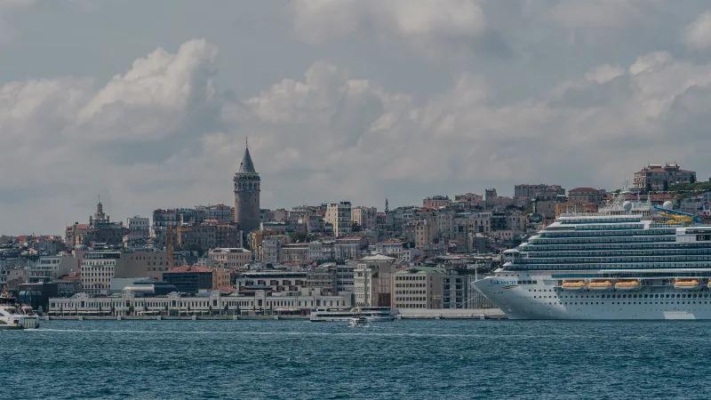
Istanbul
Istanbul is Türkiye's largest city and the country's only metropolis that spans two continents, divided by the Bosphorus strait into a European and an Asian half. Its long run as an imperial capital left a historic core of palaces, mosques and bazaars that still shapes the city's identity.
Sapanca Lake Promenade and Village Life in Sakarya
Lake Sapanca lies in a tectonic basin between Sakarya and Kocaeli, ringed by a shoreline promenade and villages whose orchards, springs and wooden houses shape everyday life around the water.
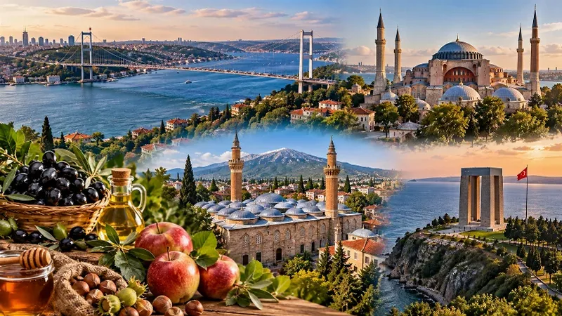
Marmara Region
The Marmara Region connects Europe and Asia, bringing together historic cities, beautiful coastlines, green landscapes and a rich cultural heritage. From Istanbul's iconic skyline to the peaceful shores of the Marmara Sea, the region offers a remarkable variety of places to discover.
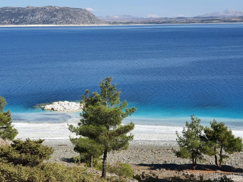
The Serene Lakes of Türkiye
Türkiye’s lakes range from vast soda lakes to salt flats and freshwater basins, each offering calm landscapes and rich wildlife. This page introduces notable lakes across different regions and their seasonal character.
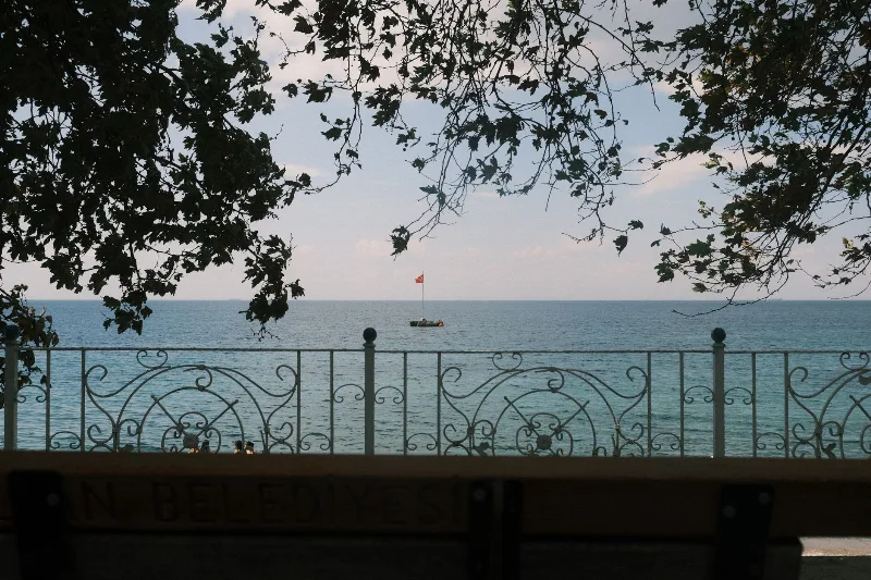
4-Day Marmara Sea Route
A four-day loop around the Sea of Marmara that starts in Istanbul, crosses to Yalova, travels inland to Bursa and finishes among the ruins of Troy and the memorials of the Gallipoli peninsula. The itinerary is built around short, logical daily drives rather than long transfers.
Bandırma
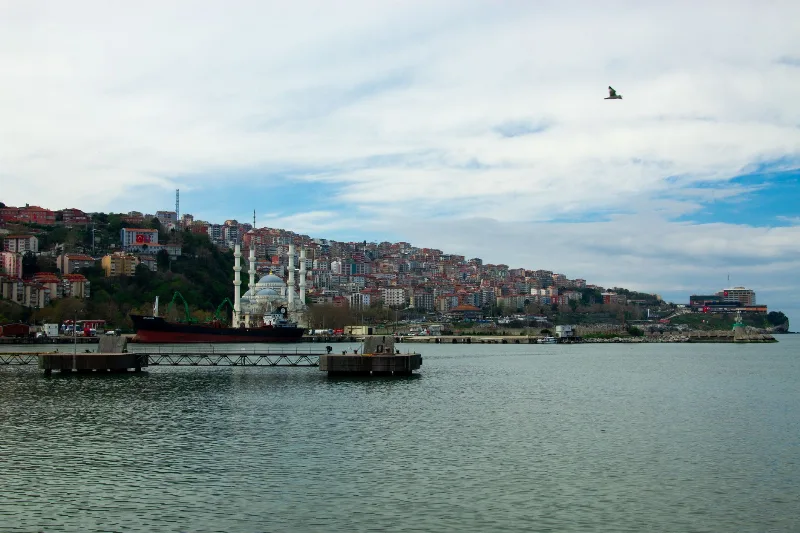
Bandırma is a port and industrial district of Balıkesir Province on the Sea of Marmara, linked to Istanbul by ferry and positioned near Kuşcenneti National Park. Its identity is shaped by maritime trade, transport and the wetlands of the surrounding region.