
Sapanca Lake Promenade and Village Life in Sakarya
Lake Sapanca lies in a tectonic basin between Sakarya and Kocaeli, ringed by a shoreline promenade and villages whose orchards, springs and wooden houses shape everyday life around the water.
Lake Sapanca fills a long, narrow depression in the Marmara region of Türkiye, lying across the boundary between the provinces of Sakarya and Kocaeli. Its freshwater surface runs for roughly sixteen kilometres from east to west, held in a basin formed by tectonic movement and fed by streams that descend from the Samanlı mountains to the north. Because the lake sits close to Adapazarı and İzmit, it has long offered a calm edge to a busy corner of the country: a landscape of orchards, smallholdings and shoreline paths. A promenade follows part of the shore, and a ring of villages keeps its own rhythm through the year.
A basin shaped by tectonic movement
The lake's straighter northern shore and softer southern edge reflect the geology beneath. Fault lines running through the region opened the depression the water now occupies, and the land around it rises in gentle ridges covered with woodland. Streams entering from the north carry cool water down from higher ground, while springs feed the lake from below. The water is fresh and comparatively still, supporting reeds, submerged plants and fish, and the shoreline shifts between gravel, grass and small pocket beaches. Sapanca is one of the larger freshwater lakes in the Marmara region, and its water has long been valued by the settlements around it.
Walking the lake promenade
A paved promenade follows stretches of the shoreline, particularly near the town of Sapanca and a few of the neighbouring villages. Early in the morning it belongs to walkers, cyclists and joggers; by afternoon, families spread out on the grass, anglers settle on the bank and tea gardens fill with conversation. Benches face the water, and plane trees and willows give shade in high summer. The path is not continuous around the entire lake, because reed beds, orchards and steeper ground interrupt it, but the sections that exist are well used and open to anyone. In spring, Judas trees and fruit blossom colour the ground behind the lakeside grass.
Village life around the shore
Several villages sit close to the water, among them Kırkpınar and Uzunkum on the Sakarya side and Maşukiye towards Kocaeli, together with smaller settlements such as Kurtköy. Kırkpınar is known for the cold springs and fast streams that run through it, and for the deep shade of its trees when the plain below turns hot. Uzunkum takes its name from a long stretch of shore. Daily life here mixes orchard work with small trade: roadside stalls sell fruit, walnuts, honey and preserves in season, and many households still keep a kitchen garden, a few chickens and a store of dried produce for winter.
Orchards, hazelnuts and market gardens
The soil and the mild, humid climate around the lake suit fruit growing. Hazelnut orchards cover the slopes, and in late summer families gather and dry the nuts on open ground before they are sold on. Cherries, plums, apples, quinces and grapes are grown alongside beans, peppers and leafy vegetables for local markets. Beekeeping is common where the orchards and woodland meet, and honey from the area is sold in simple jars rather than on a large scale. The agricultural calendar gives the villages their shape: pruning and blossom in spring, irrigation and weeding in summer, harvest and drying in autumn, and quieter weeks in winter.
Wooden houses and village architecture
Older houses in these villages follow a pattern familiar from this part of Anatolia: two storeys, with a whitewashed or timber-clad lower level and an upper floor that projects slightly over the street. Tiled roofs, wooden balconies and shuttered windows are typical, and some buildings have been repaired with traditional materials and techniques. Not every house is old, and newer buildings of concrete and brick stand beside the originals, but the best surviving examples are found in the older lanes away from the main road, where narrow passages run between garden walls and vine-covered courtyards.
Food and everyday customs
Cold streams in the villages are associated with trout, while the lake itself supplies freshwater fish that appear grilled or fried in simple kitchens. Village breakfasts are generous and seasonal, built around white cheese, olives, home-made jams, walnuts and bread baked in communal ovens. In summer, tomatoes and peppers are dried on flat roofs and tarhana is prepared in quantity for the colder months. Tea gardens along the promenade serve as the social centre of the shoreline, busy after work and at weekends, when people come down to the water simply to sit and watch the light change.
Birds, reeds and the water's edge
The quieter ends of the lake, where reeds grow thickly, shelter waterfowl and small wildlife, and the surrounding woodland supports woodpeckers, jays and warblers. Migratory birds pass through the basin on their way between Europe and Africa, and the reed beds give them cover and food. Because the lake lies in a populated region, the balance between the built-up shore and the natural margins is carefully watched, and the remaining wetland strips are valued by residents and visitors alike.
The shoreline of Sapanca is best understood as a working landscape rather than a resort: a place where the promenade, the orchards and the villages sit closely together, and where the water remains the fixed point around which the seasons turn.
Related content
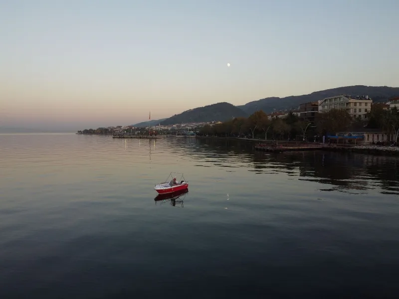
Lake Sapanca
Lake Sapanca is a long, narrow freshwater lake in the Sakarya–Kocaeli border zone of north-western Türkiye, formed in a tectonic basin close to the North Anatolian Fault and bordered by forested hills, orchards and reed-lined stream mouths.
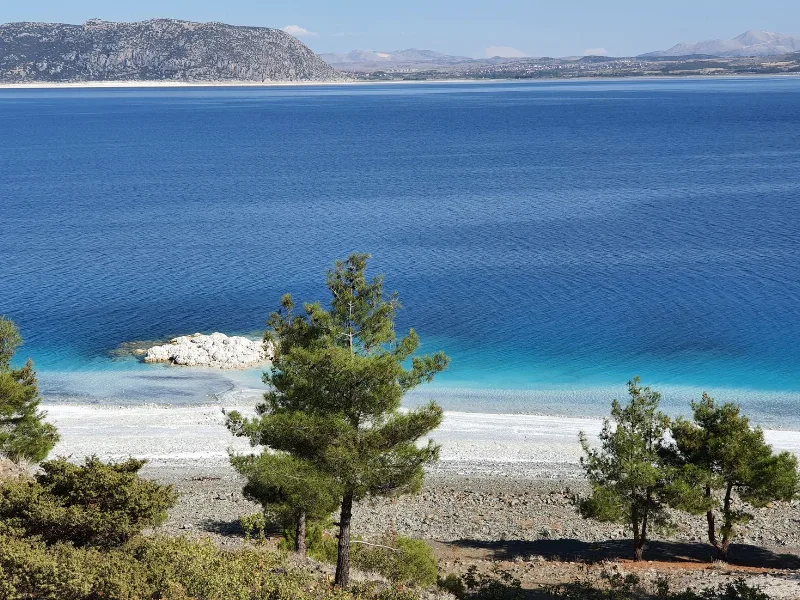
The Serene Lakes of Türkiye
Türkiye’s lakes range from vast soda lakes to salt flats and freshwater basins, each offering calm landscapes and rich wildlife. This page introduces notable lakes across different regions and their seasonal character.
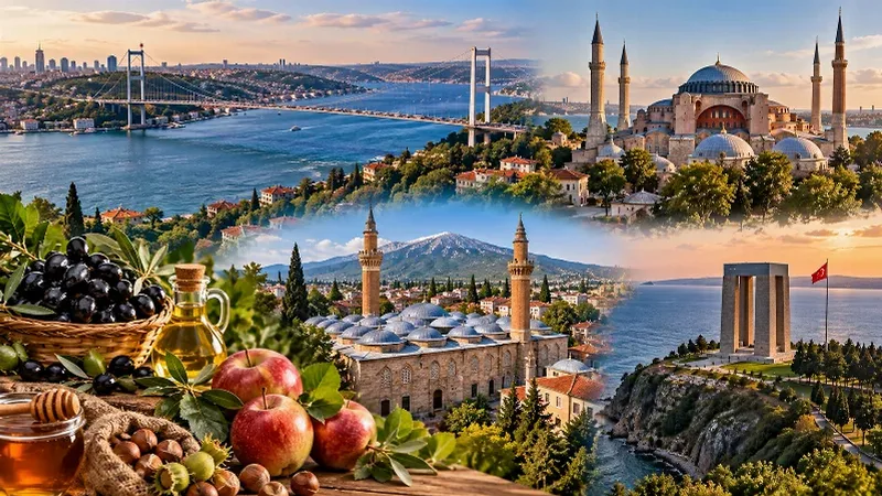
Marmara Region
The Marmara Region connects Europe and Asia, bringing together historic cities, beautiful coastlines, green landscapes and a rich cultural heritage. From Istanbul's iconic skyline to the peaceful shores of the Marmara Sea, the region offers a remarkable variety of places to discover.
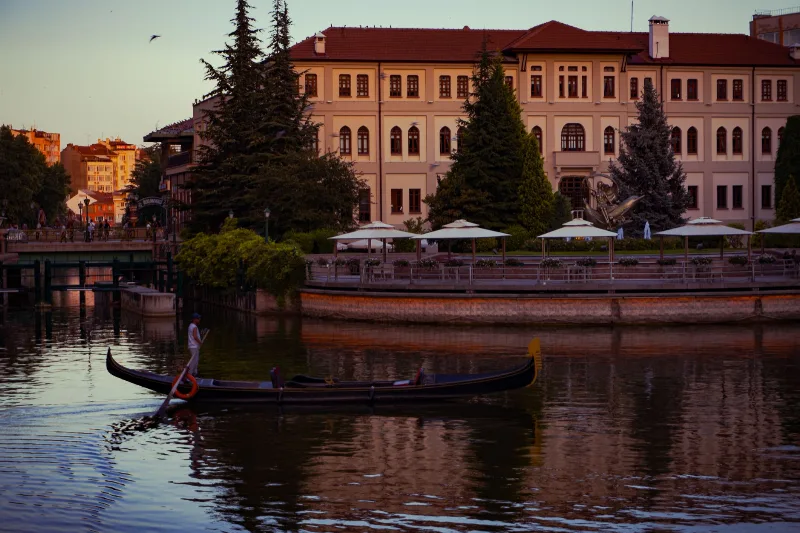
Eskişehir
Eskişehir is a university city on the Porsuk River in northwestern Central Anatolia, where a restored Ottoman-era quarter and a modern, pedestrian-friendly centre sit side by side.
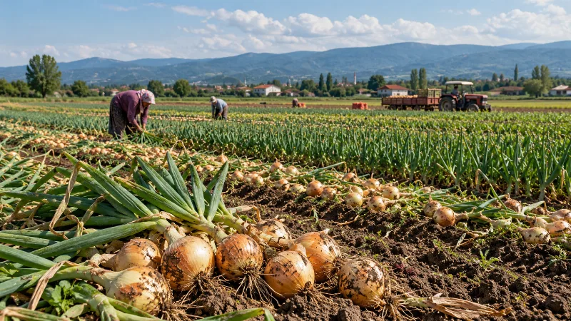
Adapazarı Onions
Adapazarı onions are a locally distinctive onion type grown on the fertile plain around Adapazarı in Sakarya province, where deep alluvial soils and a mild, transitional climate produce bulbs noted for their mild sweetness and their ability to keep well after harvest.
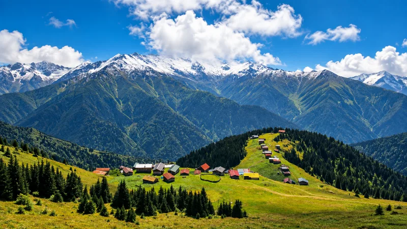
Nature
Lakes, forests, rivers, canyons, mountains, wetlands and national parks across Türkiye.
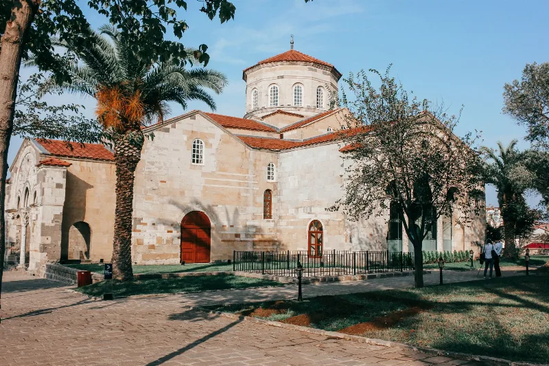
3-Day Trabzon and Uzungöl Route
This 3-day route in Türkiye's Eastern Black Sea region starts and ends in Trabzon, visiting Hagia Sophia, Sümela Monastery, and Uzungöl Lake. It blends city sightseeing, mountain driving, and lakeside relaxation.
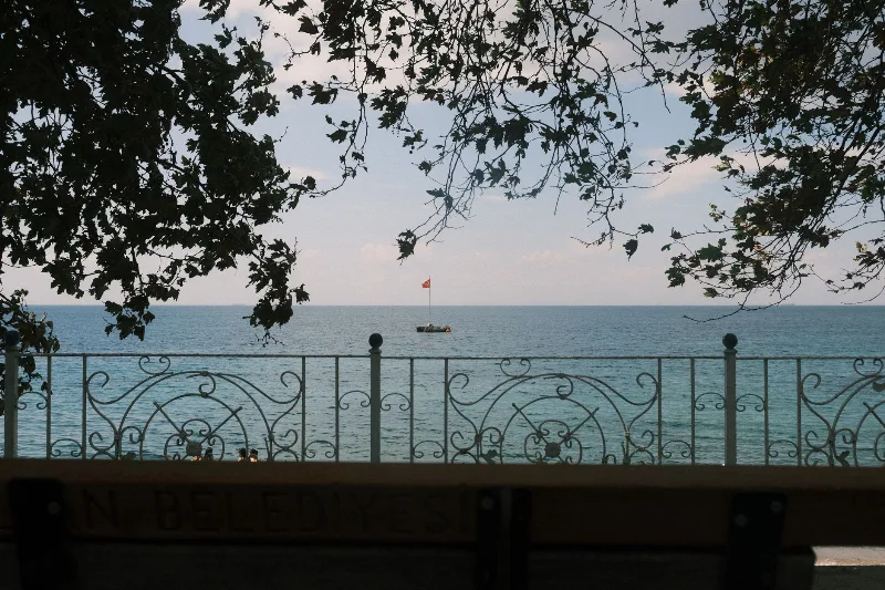
4-Day Marmara Sea Route
A four-day loop around the Sea of Marmara that starts in Istanbul, crosses to Yalova, travels inland to Bursa and finishes among the ruins of Troy and the memorials of the Gallipoli peninsula. The itinerary is built around short, logical daily drives rather than long transfers.