
Lake Kuş
Lake Kuş, also called Lake Manyas, is a shallow freshwater lake in Balıkesir Province, northwestern Türkiye, protected as a national park and recognised as one of the country's key wetland bird areas.
Lake Kuş, widely known as Lake Manyas, is a shallow freshwater lake in Balıkesir Province in northwestern Türkiye, set inland from the southern shore of the Sea of Marmara and lying between the districts of Bandırma and Manyas. It is a wetland of national importance, protected both as a national park and under the Ramsar Convention, and it functions primarily as a bird sanctuary. Its defining character comes from being shallow, nutrient-rich and fringed by reeds and flooded woodland, which together create the conditions that draw large numbers of waterbirds.
A Shallow Lake in the Susurluk Basin
The lake sits in a broad, low-lying basin within the Susurluk river system, a landscape of gentle plains rather than dramatic relief. It is a shallow water body, with a surface area that is usually described as roughly 160 square kilometres and a mean depth of only a few metres. Because it is so shallow, its water level and its outline shift noticeably through the year, and wide margins of mudflat and marsh appear when levels fall. The water is fresh and nutrient-rich, a eutrophic condition that supports dense plant growth and abundant invertebrate life, which in turn sustains the bird populations.
How the Lake Formed and How Its Water Behaves
The basin is understood to have a tectonic origin, a depression in the surrounding plain that later filled with water and sediment. The lake is fed by streams and rivers draining the surrounding countryside, notably the Kocaçay and the Sığırcı stream, and it connects to the wider Susurluk drainage network. That combination — a shallow tectonic basin, inflowing sediment and nutrient loads, and a warm lowland climate — explains why the lake is naturally productive rather than clear and deep. Seasonal variation is strong: winter and spring bring higher water and extended flooding of the margins, while summer brings lower levels, warmer water and more exposed shallows.
Kuş Cenneti National Park and the Bird Sanctuary
The best-known part of the lake is Kuş Cenneti, the "Bird Paradise," a protected area on the north-eastern shore that was declared a national park in the late 1950s. Its status reflects the exceptional bird life of the lake, which lies on a major migration corridor between Europe and Africa and the Middle East. The national park area is associated above all with the flooded trees along the shore, where many waterbirds nest, and with facilities for observing them, including a viewing point that lets visitors look out over the marsh and nesting colonies.
Habitats, Vegetation and Wildlife
The lake's habitats are varied despite its shallow, lowland setting. Broad belts of reed and other emergent marsh plants line much of the shore. Behind them, periodically flooded woodland of willow and tamarisk forms a distinctive gallery of trees standing in water, a habitat that is central to the lake's reputation as a nesting ground. Open water, mudflats and wet meadows add further zones that different species use at different times.
The bird life is the main reason the lake is known. Well over two hundred species have been recorded here over the years, and the wetlands regularly host pelicans, cormorants, herons, egrets, spoonbills and other waterbirds, with large concentrations during migration and the breeding season. Fish and amphibians are also present in the lake, and the food-rich shallows support the predatory birds that depend on them. Away from the water, the surrounding plains are largely agricultural, which means the protected wetland is an island of habitat within a farmed landscape.
What the Landscape Looks Like Through the Year
The lake looks different in every season. In spring, higher water and fresh growth fill the reed beds, and the bird colonies are at their most active as nesting gets under way. Summer lowers the water level, exposes mudflats and warms the shallows, often pushing birds into the remaining wet areas and favouring species that feed in shallow, open water. Autumn brings the southward migration, when the lake again fills with passing birds. Winter is quieter in terms of nesting but can bring cold, wet weather and high water levels across the flats, and the lowland position means mist and chill are common.
Terrain and Conditions for Visitors
The terrain around the lake is flat and easy to walk, since this is a plain rather than a mountain landscape. The main practical limits come from water and mud: the shoreline and marsh are soft and seasonally flooded, so paths and observation areas are the reasonable places from which to see the wetland, rather than the unstable margins themselves. Mosquitoes and other insects are part of the reality of a nutrient-rich lowland marsh, particularly in the warmer months, and both sun and rain can be intense on the open plain. Visitors should expect wildlife to be the focus and should keep disturbance to a minimum, especially around nesting colonies.
Getting to the Lake and Its Surroundings
The lake's position in northwestern Türkiye makes it accessible from the surrounding towns and cities. The towns of Bandırma and Manyas sit close to its shores and serve as the practical bases for the area, and the region is connected to the wider Marmara network of roads. Balıkesir lies to the south, and the city of Bursa and its mountain hinterland lie to the east, so the lake fits naturally into a wider exploration of the region. Public transport and road links reach the nearby towns, from which the lakeshore and the national park can be reached.
Nearby Natural Places
Because the lake lies on a lowland plain rather than in isolation, other natural features of the southern Marmara region frame it. To the east rise the higher ground of the Uludağ massif above Bursa, a mountain area in clear contrast to the flat wetland. To the north, the coast of the Sea of Marmara brings a different set of habitats, including coastal and marine environments near Bandırma. Taken together, the lake is best understood as part of this lowland-and-coast landscape, a shallow basin where water, reeds and flooded trees combine to create one of Türkiye's most significant bird wetlands.
Beaches & bays
See the coast →
Related content
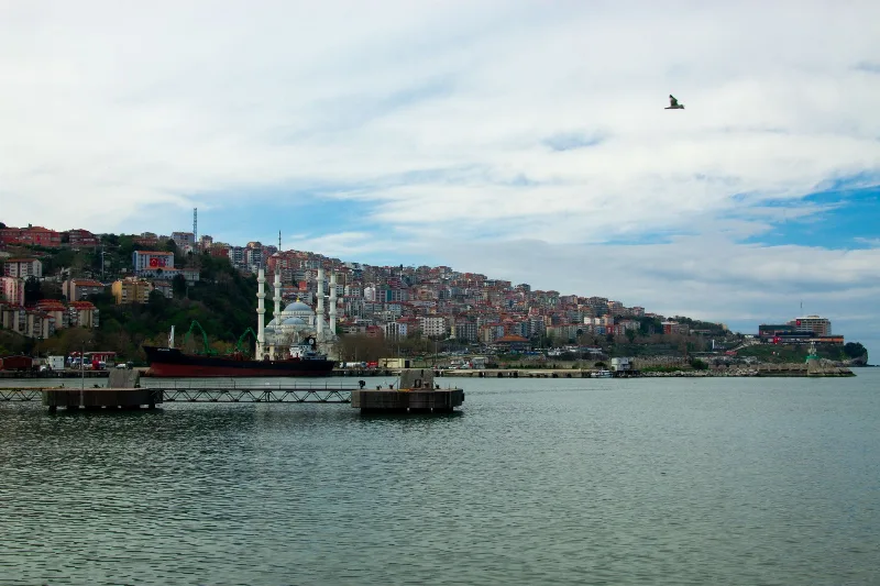
Bandırma
Bandırma is a port and industrial district of Balıkesir Province on the Sea of Marmara, linked to Istanbul by ferry and positioned near Kuşcenneti National Park. Its identity is shaped by maritime trade, transport and the wetlands of the surrounding region.
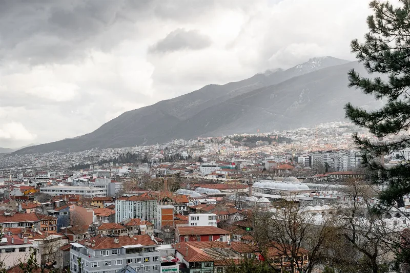
Bursa
Bursa is a major metropolitan city in northwestern Türkiye and the first great capital of the Ottoman Empire, known for its silk heritage, thermal springs and the mountain of Uludağ rising directly behind it.
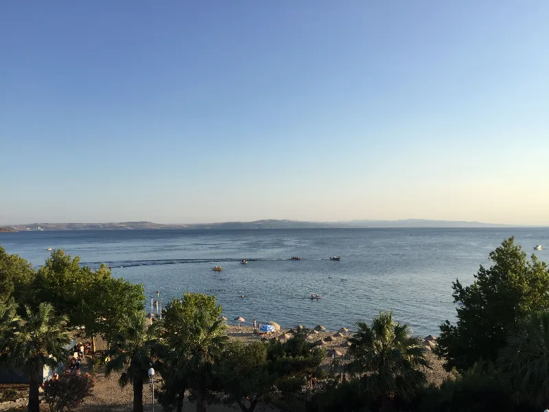
Erdek
Erdek is a coastal district of Balıkesir Province on the Sea of Marmara, arranged around a sheltered gulf and backed by the wooded uplands of the Kapıdağ Peninsula.
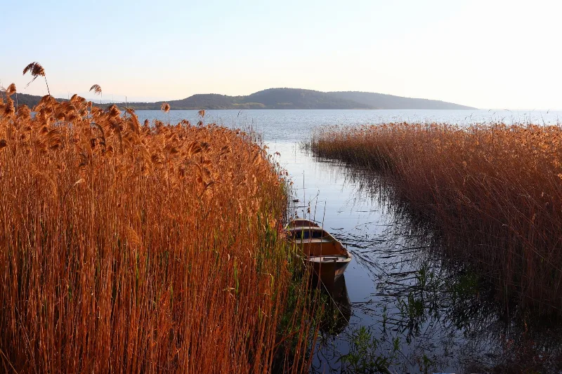
Bird Migration at Lake Uluabat, Bursa
Lake Uluabat in Bursa province functions as a major seasonal stopover for waterbirds, with two distinct passage windows in spring and autumn. The shallow, reed-fringed water and its Ramsar status explain why timing is central to what a visitor sees.
Lakes and Natural Beauty in Türkiye
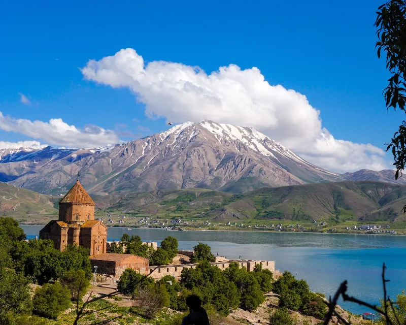
A journey through the lakes of Türkiye, from the wide soda waters of Lake Van to forest pools in Bolu, salt flats on the Central Anatolian plateau and reed beds full of birds.
Samsun
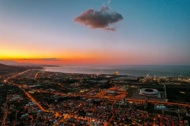
Samsun is a large Black Sea port city in northern Türkiye and the historic starting point of the Turkish War of Independence in 1919. It is a major metropolitan centre set between wide river deltas, coastal plains and the mountains of the Black Sea hinterland.