
Samsun
Samsun is a large Black Sea port city in northern Türkiye and the historic starting point of the Turkish War of Independence in 1919. It is a major metropolitan centre set between wide river deltas, coastal plains and the mountains of the Black Sea hinterland.
Samsun is a major port city on the Black Sea coast of northern Türkiye and the administrative centre of Samsun Province. It sits on a broad coastal plain where two of Anatolia's largest rivers, the Kızılırmak and the Yeşilırmak, reach the sea, and it is the largest urban centre on the Turkish Black Sea coast. Its historical significance is tied above all to 19 May 1919, when Mustafa Kemal Atatürk landed here on the Bandırma ferry and set in motion the Turkish War of Independence. Today Samsun is a busy metropolitan city that combines that national landmark role with commerce, industry, port activity and a long coastline to the east and west.
Where Samsun Is Located
Samsun lies on the central section of Türkiye's Black Sea coast, facing north across the Black Sea. The province stretches inland into mountainous, forested terrain and is bordered by Sinop, Çorum, Amasya, Tokat and Ordu provinces. The city itself has grown along the shoreline and up the lower slopes behind it, so it retains a distinctly coastal and green character rather than the dry look of Türkiye's inland plateaus. The coast around Samsun is relatively low and open, formed by sediment carried down by the two great rivers.
The Shape of the Modern City
Metropolitan Samsun is organised into several central districts. İlkadım forms the historic core and contains the old harbour area, the commercial centre and many of the city's key landmarks. Atakum, to the west, is a long coastal district that has expanded as the city's modern residential and university-facing face. Canik lies to the east of the centre and is closely linked to the port and industrial areas, while Tekkeköy extends further inland to the east along the coast and beyond.
The seafront is a defining part of daily life in Samsun. A long shoreline walkway runs through the central coastal districts, and the city's beaches and promenades sit close to the urban fabric. Away from the water, the city climbs gently into the hills, giving views back across the bay and the port.
From Amisos to the Republic
Modern Samsun stands on the site of ancient Amisos, a port settlement founded in antiquity on this stretch of the Black Sea coast. Traces of that older city, its burial mounds and archaeological material remain part of the city's identity, and Samsun's museums hold finds associated with the ancient settlement. This deep coastal history connects Samsun to the wider network of Black Sea and Anatolian civilisations, and it forms the background to the city's later national role.
The turning point in Samsun's modern story came in 1919. On 19 May of that year, Atatürk arrived by sea on the Bandırma steamer to begin the national struggle. The event is commemorated across the city, and the Bandırma ferry is preserved as a symbol of that beginning, displayed in the city for visitors to see. This date and its meaning shape how Samsun presents itself today, and it is the reason the city holds a recognised place in Turkish national memory.
Rivers, Deltas and Wetlands
The geography around Samsun is dominated by its two large river systems. To the west of the city the Kızılırmak, Türkiye's longest river, forms a broad delta as it meets the Black Sea. This wetland area is one of the most important bird habitats in the country and is a protected conservation zone. To the east, the Yeşilırmak creates a second delta, and the plains around both rivers support extensive agriculture.
These deltas give the province a landscape character quite different from the steep, forested valleys found further east and west along the Black Sea. Coastal lakes, marshes and low farmland shape the appearance of the shoreline, and the region's produce reflects this fertile, well-watered setting.
Bafra, Çarşamba and the Wider Province
Beyond the metropolitan districts, Samsun Province includes a number of established towns that act as centres for the surrounding countryside. Bafra, to the west near the Kızılırmak delta, is one of the larger of these and is closely associated with the plain around the river. Çarşamba, to the east on the Yeşilırmak plain, plays a similar role in the eastern part of the province. Other district centres such as Terme, Vezirköprü, Havza, Kavak and Ladik are distributed across the interior, where the terrain becomes hillier and more forested, and they each anchor their own local areas.
The province also contains smaller coastal settlements and villages that sit between the city and the deltas, connected to Samsun's economy through farming, fishing and coastal life. These places are better understood as part of the wider Samsun region than as parts of the central city.
Climate and Seasonal Timing
Samsun has a humid, temperate Black Sea climate. Summers are warm and humid rather than intensely hot, while winters are milder than inland Anatolia but still cool and damp, with rain spread through much of the year. This consistent moisture is what keeps the surrounding hills green and supports the region's agriculture. The most comfortable conditions for exploring the city, its coastline and the surrounding delta areas generally fall in late spring and early autumn, when temperatures are moderate and rainfall is less frequent.
Reaching Samsun and Its Regional Role
Samsun is a transport hub for the central Black Sea region. It has an airport serving the city and is connected by road and rail to other parts of Türkiye, and its port remains a working commercial gateway on the Black Sea. Within the city and its districts, travel along the coast is straightforward along the main shoreline corridor that links İlkadım, Atakum and the eastern districts.
Samsun's position makes it a natural reference point for the surrounding region. It sits between the western and eastern halves of the Turkish Black Sea coast and provides urban services, culture and transport for a wide inland area. Its combination of a deep ancient past, a defining role in modern Turkish history, two major river deltas and a developed coastal city makes it distinct from smaller Black Sea towns nearby.
Discover Food in Türkiye
All food →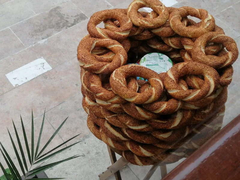
Simit
Simit is a ring-shaped Turkish bread covered in sesame seeds, strongly associated with Istanbul and sold as everyday street food. It is eaten fresh, most often with tea, and has a crisp crust around a chewy crumb.
Explore →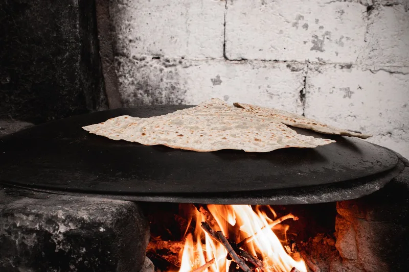
Bazlama
Bazlama is a soft, thick Turkish flatbread made from a leavened dough and cooked on a hot griddle. It is a staple of village baking across Anatolia, eaten warm with butter or used to wrap other foods.
Explore →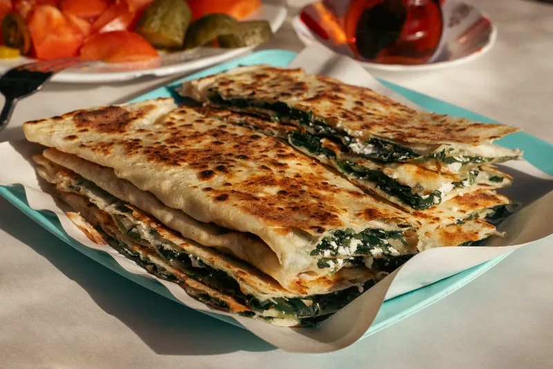
Gözleme
Gözleme is a thin, hand-rolled Anatolian flatbread folded around savory fillings such as cheese, spinach, or minced meat and cooked on a sac griddle. The article covers its regional variations, cooking method, texture, and traditional serving style.
Explore →Related content
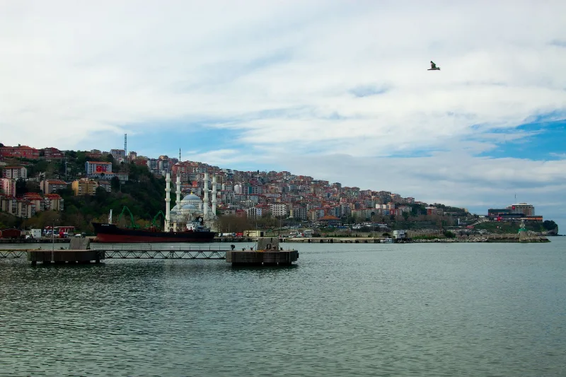
Bandırma
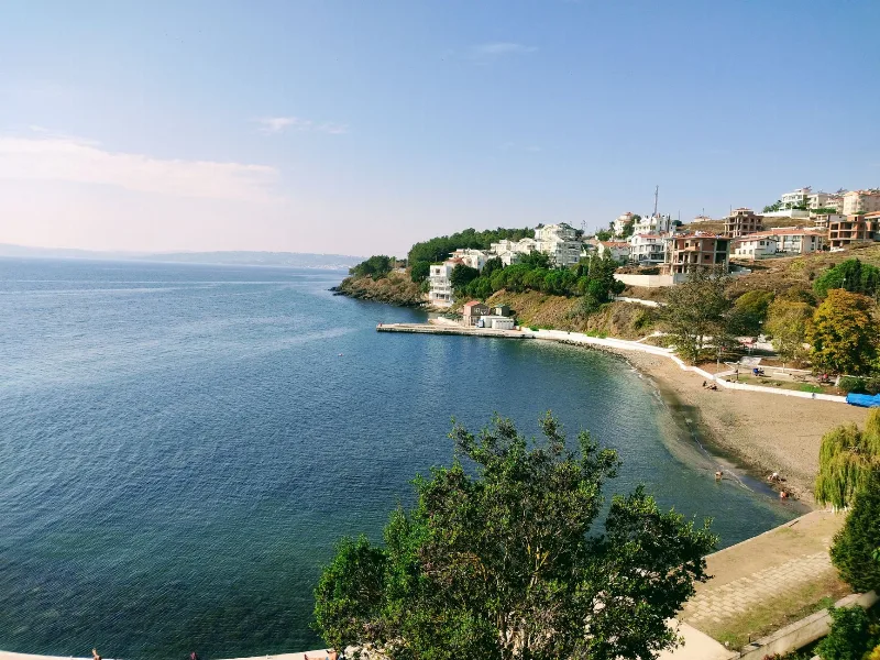
Bandırma is a port and industrial district of Balıkesir Province on the Sea of Marmara, linked to Istanbul by ferry and positioned near Kuşcenneti National Park. Its identity is shaped by maritime trade, transport and the wetlands of the surrounding region.
Sinop
A port city on Türkiye's Black Sea coast, Sinop sits on a northward-pointing peninsula with one of the sea's safest natural harbours and a historic walled core. Its fortress, Seljuk-era monuments and surrounding bays anchor a province that reaches from the shoreline deep into the interior.
Amasya
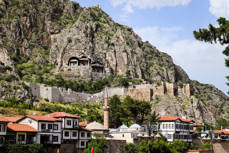
Amasya is a river city in the interior of Türkiye's Black Sea region, where Pontic rock tombs, Ottoman riverside mansions and apple orchards sit along the narrow valley of the Yeşilırmak.
5-Day Black Sea Coast Route
A five-day linear journey along Türkiye's central and eastern Black Sea coast, from Sinop to Trabzon, with an inland detour to Amasya and stops in Ordu and Giresun along the way.
Black Sea Region
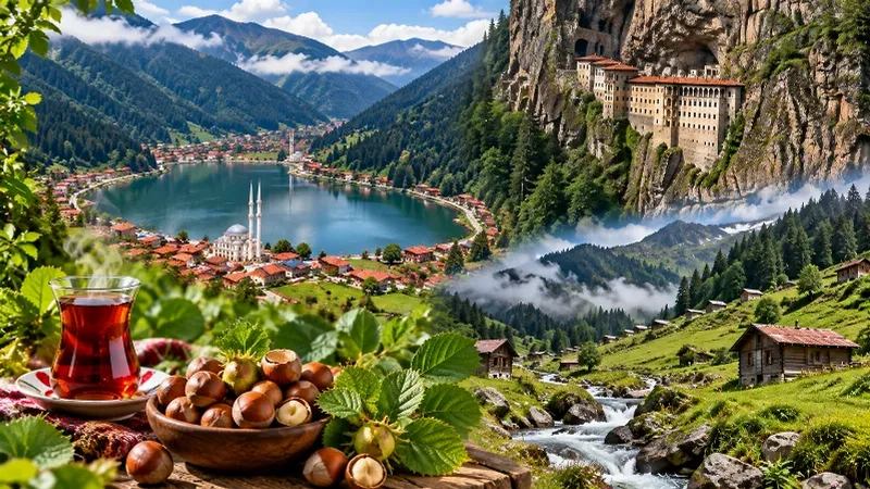
The Black Sea Region of Türkiye is known for its lush green mountains, misty highlands, dense forests and traditional villages. Stretching along the country's northern coast, the region combines spectacular natural scenery with historic towns, tea-growing landscapes and distinctive local traditions.
1-Day Sinop Route: Old Town, Castle and Hamsilos Bay
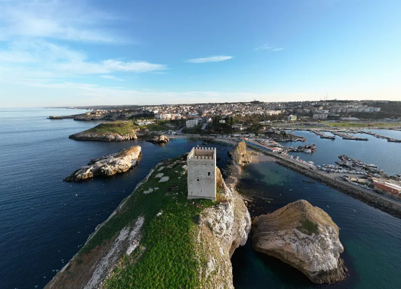
A single-day route through Sinop, from the old harbour and castle walls to the archaeological museum, the historic prison and the wooded bays along the coast west of the city.