
Lake Burdur
Lake Burdur is a large tectonic soda lake in Burdur Province, south-western Türkiye, with strongly alkaline water, a broad shifting shoreline and international importance for wintering waterbirds. Its closed basin, mineral chemistry and retreating waterline make it one of the most distinctive inland landscapes of the Turkish Lakes Region.
Lake Burdur (Burdur Gölü) is a large tectonic soda lake in Burdur Province in south-western Türkiye, occupying the floor of a closed basin in the Turkish Lakes Region. Its water is strongly alkaline and mineral-rich, its shoreline is wide and largely bare for much of the year, and its surface lies at roughly 845 metres above sea level. The lake is a wetland of international importance for waterbirds and one of the most clearly defined natural features of the region.
Where the Lake Lies
The lake fills a fault-bounded depression in the interior of Burdur Province, between the lake district of Isparta to the east and the higher ground rising toward Denizli province to the west. The provincial capital, Burdur, stands close to its southern shore. The lake is markedly elongated, so its shoreline is considerably longer than its relatively narrow width would suggest, and its shores fall within the central district of the province and the neighbouring districts around the basin. Main road connections run east toward Isparta, west and north-west toward Denizli, and south toward Antalya, which means the lake lies in a well-defined inland basin rather than near any coast.
A Tectonic Lake with Soda Chemistry
The basin was formed by faulting in a seismically active part of south-western Anatolia, where the Burdur Fault Zone shaped both the depression and the steep slopes that enclose it. The lake has no surface outlet, so water leaves almost entirely through evaporation; dissolved minerals carried in by streams and springs therefore remain and become concentrated. The result is a soda lake dominated by sodium sulphate and sodium chloride, with high pH and salinity that make the water unsuitable for irrigation and for most freshwater organisms. This chemistry gives the shallows a pale, sometimes milky or greenish tone and leaves white salt and mineral crusts on flats exposed by falling water levels.
A Contracting Water Body
The lake has shrunk noticeably since the late twentieth century. Streams that once fed it have been regulated and diverted, and repeated dry years have reduced the inflows reaching the basin, while evaporation continues at a high rate through the hot, dry summers of the interior. The effects are visible at ground level: broad belts of former lake bed now lie exposed around the present waterline, and the shoreline has moved considerably over recent decades. The retreat reveals soft mudflats, salt-encrusted sediment and low vegetated margins that shift from year to year with rainfall and snowmelt.
Birds and Wildlife of the Wetland
The lake's most important natural value is ornithological. Its open water, shallow margins and surrounding flats support large numbers of waterbirds, and it is known in particular for the white-headed duck (Oxyura leucocephala), a globally threatened diving duck for which the basin has long been a key wintering site. Numbers of ducks, coots, grebes, gulls and other waterbirds rise sharply in winter, when the lake also serves as a resting and feeding area on migration routes through the Anatolian interior. Because the water is mineral-rich and inhospitable to most freshwater species, the fish fauna is limited, and the lake is known for an endemic toothcarp adapted to its alkaline conditions. These values are reflected in the area's designations: it is recognised as a Ramsar wetland and as an Important Bird Area, and disturbance to roosting and feeding birds is the main conservation concern.
The Landscape Around the Shore
The basin is enclosed by hills and ridges, with dry forest, scrub and rocky slopes rising above the lakeside plain. Farmland, orchards and villages occupy the flatter ground on the southern and eastern sides, where the land is worked mainly with dry-farming methods, while the higher ground to the west and south separates the basin from the neighbouring Yeşilova and Salda area. The visual contrast is strong: the pale, almost white expanse of the mineral shoreline sits against greener slopes above, and in clear weather the surrounding ridges are reflected across long stretches of open water. From the roads that skirt parts of the basin, the lake reads as a wide, shallow-edged sheet of water framed by mountains rather than as a sheltered, wooded lake.
How the Lake Changes Through the Seasons
Winter is the most important season ecologically. Cooler, wetter weather raises inflows, and waterbirds gather in large numbers on the open water through the coldest months. Spring brings snowmelt from the surrounding higher ground, greener slopes and fuller margins, before the dry season begins. Summer is hot and bright, evaporation is at its strongest, and the exposed flats and salt crusts expand as the waterline recedes; haze and glare are common over the basin. Autumn marks the return of migrating and arriving waterbirds and the beginning of the slow refilling of the margins as temperatures fall.
Visiting: Terrain and Practical Conditions
The lake is generally viewed from the roads and elevated ground around the basin edge rather than from a formal waterfront. Much of the shoreline is soft, muddy and unstable, and the strongly alkaline water is not suitable for swimming, so the lake functions primarily as a landscape and wildlife-watching destination. Winter is the most rewarding period for birdwatching, and binoculars or a spotting scope are useful because birds usually keep well out on the water. Summer heat, strong sun exposure and the pale, reflective shoreline should be expected, along with sudden wind across the open basin. Visitors should keep a respectful distance from bird concentrations, avoid approaching roosting or feeding flocks, and treat the exposed mudflats and crusted sediment as fragile ground rather than a walking surface.
Nearby Natural Places
Lake Burdur sits within a cluster of distinctive inland waters. Lake Salda, in the Yeşilova district of the same province, is a deep, clear alkaline lake known for its white mineral shores. Lake Acıgöl lies further west toward the Denizli and Afyon border and is another saline, closed-basin lake. To the east, in Isparta province, Lake Eğirdir and the smaller Lake Kovada offer contrasting freshwater landscapes, while the mountain ridges around the Burdur basin connect the lake to the wider natural geography of the Turkish Lakes Region.
Beaches & bays
See the coast →
Related content
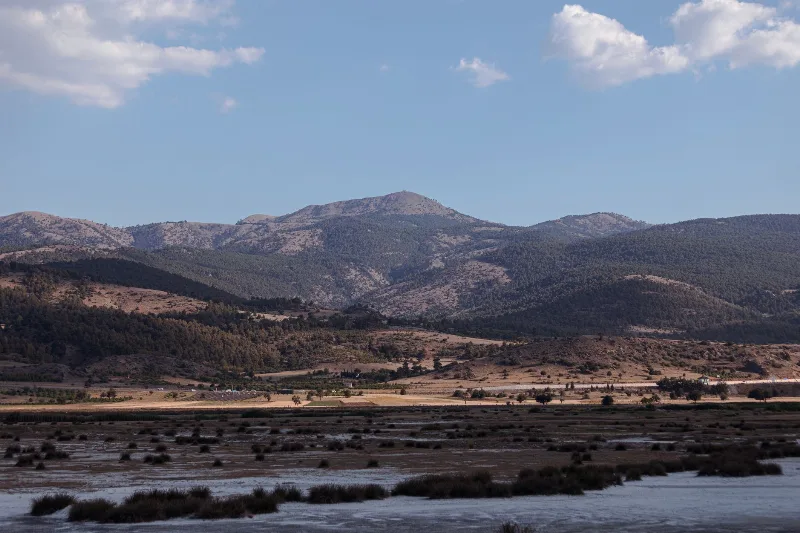
Burdur
Burdur is a provincial capital in southwestern Türkiye, set in the inland Lakes District beside a large saline lake and known for the Roman ruins of Sagalassos and one of Anatolia's oldest Neolithic settlements.
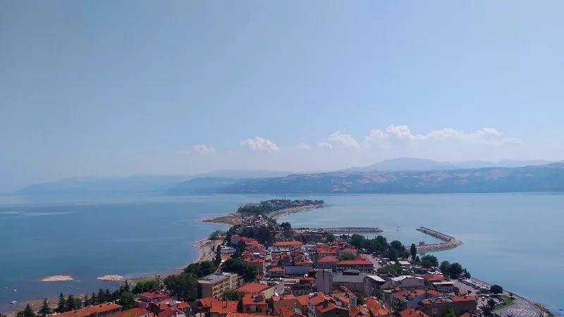
Isparta
Isparta is a city in southwestern Türkiye, renowned for its rose oil production and apple orchards. It serves as a hub for the Lakes Region, with Lake Eğirdir and several natural parks nearby.
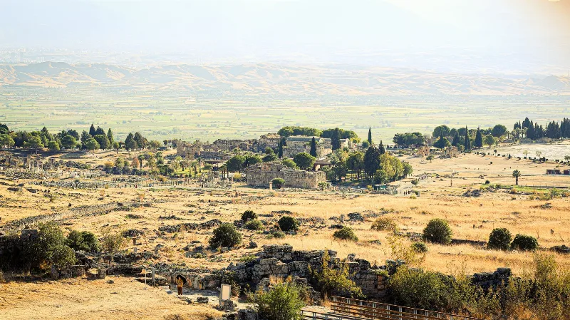
Denizli
Denizli is the inland capital of Denizli Province in Türkiye's Aegean region, known internationally for the Pamukkale travertine terraces and ancient Hierapolis, and at home as a major textile city with its own long-crowing rooster breed.
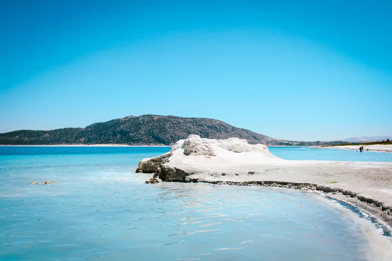
Lake Salda
Lake Salda is a striking lake in Burdur Province, southwestern Türkiye, known for its turquoise water, bright white hydromagnesite beaches and rare microbial stromatolites that draw both nature visitors and planetary scientists.
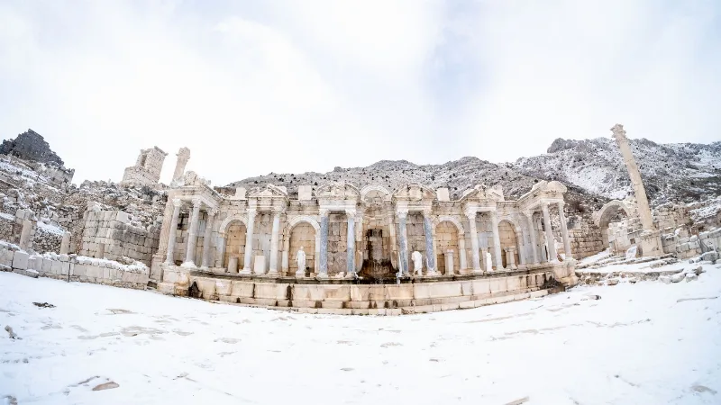
Sagalassos
Sagalassos is a ruined Pisidian city in Burdur Province, Türkiye, set high in the Taurus Mountains and best known for its monumental fountain, library and remarkably intact Roman civic buildings.
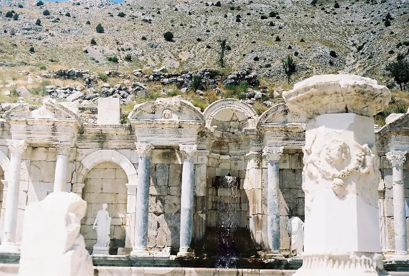
The Ancient City of Sagalassos in the Taurus Mountains
High in the Taurus Mountains above Ağlasun, the ancient city of Sagalassos preserves the streets, fountains and public buildings of a prosperous Pisidian and Roman settlement.