
Dilek Peninsula–Büyük Menderes Delta National Park
Dilek Peninsula–Büyük Menderes Delta National Park in Aydın pairs a forested Aegean mountain ridge with a broad river delta of lagoons and reedbeds. The two halves form one of the western coast's most varied protected landscapes.
Dilek Peninsula–Büyük Menderes Delta National Park lies on the Aegean coast of Aydın Province in western Türkiye, where a steep, forested mountain ridge falls into the sea north of the wide alluvial mouth of the Büyük Menderes River. It is a composite protected area made of two quite different environments: a mountainous peninsula covered in maquis and pine, and a low, flat delta of lagoons, salt marsh and reedbeds. The two sections sit within the same park boundary but look nothing alike, and that contrast is the main reason the area is protected. The peninsula is the ancient Mycale ridge, while the delta is the silt-built mouth of one of the longest rivers of the Aegean side of Anatolia.
One Park, Two Landscapes
The peninsula was given national park status in 1966, and the delta was added to the same protected area in 1994, creating a single reserve of roughly 27,000 hectares. Because the two halves are managed together, a visitor can pass in a short distance from rocky coastal slopes with pine forest above them to open water, mudflats and reeds. That combination of a mountain ecosystem and a major river wetland inside one boundary is uncommon on the Turkish Aegean coast, where protected areas usually protect one or the other.
The Peninsula: A Ridge Above the Sea
The Dilek Peninsula runs roughly east–west and is the western end of the Mycale range. Its highest ground rises a little above 1,200 metres, and the ridge falls steeply on both sides, so most of the peninsula is slope rather than flat land. The northern coast, where the main approach road ends at Güzelçamlı, receives more moisture and carries denser forest; Calabrian pine and other pines dominate the upper slopes, with deep wooded valleys and small springs between the ridges. The southern side is drier and more open, with typical Aegean maquis: kermes oak, lentisk, laurel, myrtle, strawberry tree and scattered olive. The rock is largely limestone, and the coastline is rocky, with small coves cut into the base of the slopes rather than long continuous beaches.
At its eastern end the peninsula narrows and comes very close to the Greek island of Samos, separated only by a narrow strait. This position explains much of the peninsula's character: it is a mountain edge facing open sea, exposed to wind and salt spray, with a plant cover shaped more by drought and exposure than by altitude.
The Delta: A River Mouth Built from Silt
The Büyük Menderes carries a heavy load of sediment as it crosses the Söke plain, and where it meets the Aegean it has built a broad, low delta of lagoons, freshwater and salt marshes, reedbeds and muddy channels. Near the mouth there are also dune formations, while further inland the delta grades into farmland on old river deposits. The silting is an active, visible process: the coastline has advanced seaward over historical time, and ancient cities of the plain that were once harbours now stand well inland. The delta's shape is therefore not fixed — channels shift, lagoons open and close, and the balance between open water and reed can change from year to year.
Habitats and Wildlife
The delta is the park's wildlife centre. Its shallow lagoons, marshes and mudflats support large numbers of waterbirds, including flamingos, pelicans, herons, egrets, cormorants, ducks and waders, with the greatest concentrations during migration and in winter, when water levels are high and disturbance is low. Reedbeds and wet meadows provide cover and nesting ground, and the open mudflats are where feeding flocks gather.
On the peninsula, the forest and maquis support wild boar, fox, jackal and hare, together with a varied reptile fauna and birds of prey that use the ridge lines and the coastal thermals. The spring flora is notably rich, with a wide range of Mediterranean herbs and orchids flowering on the open slopes before the summer drought sets in.
How the Landscape Changes Through the Year
The climate is Mediterranean: hot, dry summers and mild, wet winters. In spring the peninsula slopes are green and flowering, streams still run, and the delta holds standing water; this is also the busiest season for bird movement. By mid-summer the maquis dries to a grey-green, the small watercourses on the peninsula stop flowing, and the delta's shallower lagoons shrink, exposing mudflats and concentrating birds into remaining pools. Fire risk on the forested slopes is high in this period. Autumn brings the first rains and a second greening, and winter is the wettest season: the delta fills, the marshes expand, and waterbird numbers reach their annual peak. Coastal wind is a constant factor on the peninsula in all seasons, strongest on exposed headlands.
Reaching the Two Sections
The peninsula section is normally approached from Kuşadası by the coastal road to Güzelçamlı, which sits at the northern edge of the protected area. From there, the park's slopes rise directly behind the coast. The delta is approached from the other direction, from Söke and the villages of the Menderes plain; the wetlands themselves are not crossed by public roads, so they are generally seen from their landward edges and from the higher ground that overlooks the plain. The two sections are close in straight-line distance but are connected by road around the peninsula, and should be treated as two separate outings.
Practical Points Before Visiting
Terrain on the peninsula is steep almost everywhere, and walking involves sustained climbing on rocky ground with little shade on the southern slopes; heat and limited water are the main constraints in summer. The delta is flat but wet, soft underfoot in places and heavily used by insects, so it is better suited to observation from firm ground than to cross-country walking. Access is not uniform across the park: it is a conservation area first, and not every part of the coastline or the marsh is open or physically reachable. Because both halves are protected for their habitats, visiting is mainly about looking at landforms, vegetation and birds rather than about facilities.
Related Natural Places Nearby
Inland and to the south-east of the delta, Lake Bafa lies beyond the Beşparmak Mountains; it is a former Aegean gulf cut off by the same river silts that built the Menderes delta, and it makes a natural second stop for anyone tracing the area's geography. The wooded Beşparmak range itself frames the northern side of the Söke plain, and the coastal water between the peninsula and Samos is part of the same exposed Aegean setting that shapes the park. The towns of Kuşadası, Davutlar and Söke are the practical bases from which both halves are reached.
Beaches & bays
See the coast →
Related content
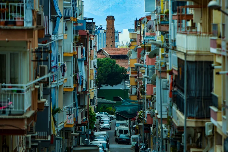
Aydın
Aydın is the inland capital of Aydın Province in Türkiye's Aegean region, recognised for its fig production and its position between the fertile Büyük Menderes valley, the coastal district of Kuşadası and several major ancient sites.
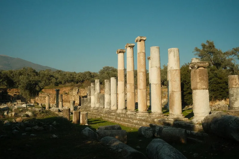
Söke
Söke is an agricultural district in Aydın Province, set on the fertile Büyük Menderes plain near the Aegean coast. It is known for cotton and olive production and provides access to Priene and the Dilek Peninsula National Park.
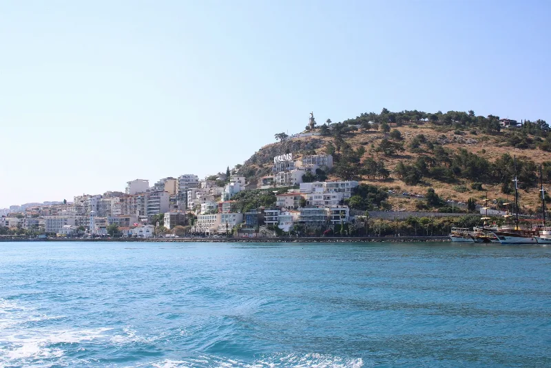
Kuşadası
Kuşadası is a lively Aegean resort town and cruise port in Aydın Province, best known for its proximity to the ruins of Ephesus and for a coastline of sandy bays backed by pine-covered hills.
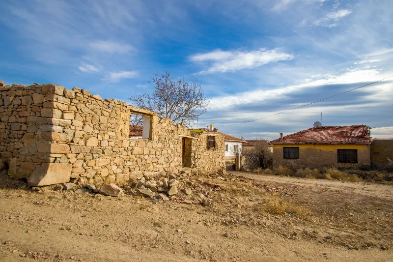
Doğanbey
Doğanbey is a village in the Söke district of Aydın, split between a modern settlement on the plain and an older, largely abandoned quarter of stone houses once inhabited by a Greek community. Its hilltop streets and coastal setting make it one of the more distinctive places on the Aegean edge of Türkiye.
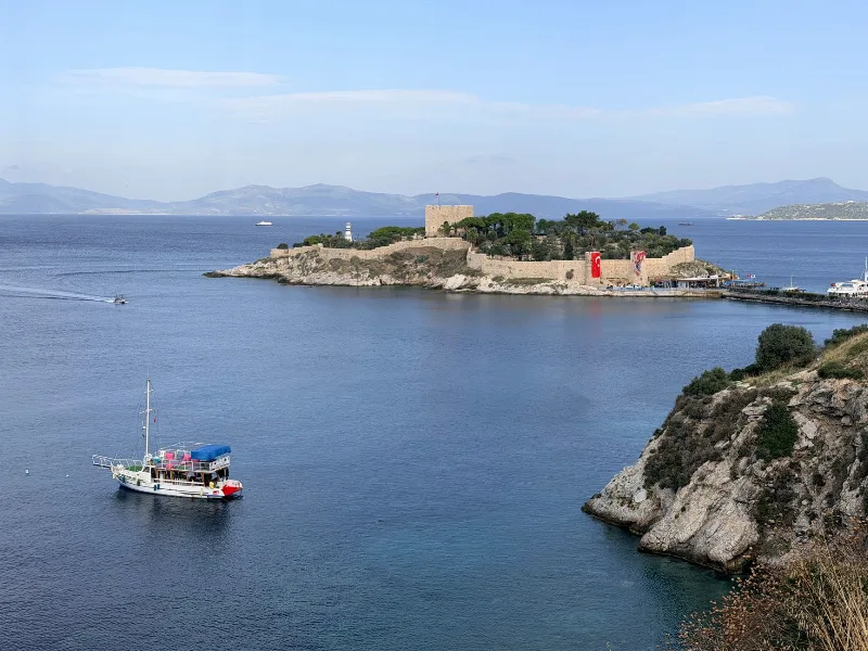
Kuşadası's Exciting Seaside Activities
Kuşadası sits on Türkiye's Aegean coast, where sandy bays, clear water and protected coastline create a natural setting for swimming, boating and coastal walks.
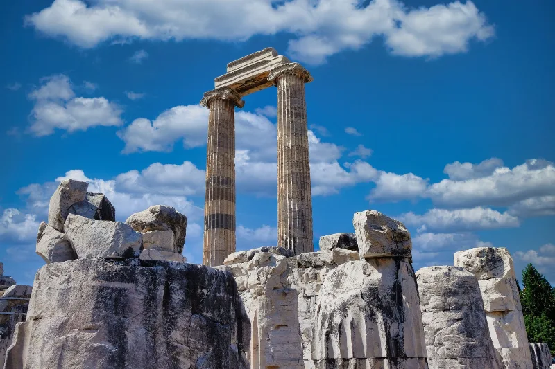
Didim
Didim is a coastal district in Aydın Province on Türkiye's Aegean shore, built around the ancient oracular sanctuary of Didyma and its Temple of Apollo, with the sandy beach of Altınkum at its holiday centre.