Kemaliye
Kemaliye’s traditional houses overlook the deep Euphrates valley, where the dramatic Karanlık Canyon shapes the town’s landscape and identity.
Kemaliye’s traditional houses overlook the deep Euphrates valley, where the dramatic Karanlık Canyon shapes the town’s landscape and identity.
A town above a deep valley
Kemaliye, historically known as Eğin, lies in Erzincan province overlooking the Euphrates valley. The combination of steep mountains, a deep river corridor and traditional houses makes its setting unusually dramatic. The town occupies limited space between rocky slopes and the valley below, and the geography has influenced street layout, building form and movement through the region for centuries.
Historic houses and craftsmanship
Kemaliye is known for traditional residences featuring timber details, stone foundations and carefully made doors. In the older neighbourhoods, houses respond to the slope and often offer views across the valley. Small streets and terraces create a varied walking experience. Looking at domestic architecture helps explain how families adapted to the constraints of steep ground while maintaining distinctive interior and exterior details.
Karanlık Canyon
The nearby Karanlık Canyon, or Dark Canyon, is one of the region’s notable natural formations. Its high rock walls and narrow river landscape provide a strong contrast with the town’s residential streets. The canyon is associated with routes cut into the mountainside and with viewpoints over the valley. Its natural character is central to an understanding of Kemaliye, connecting the town’s heritage to the physical environment around it. The steepness of the valley means that short distances on a map may hide major changes in altitude. A house seen from above may appear close to a riverside viewpoint while the route between them is much longer. This dramatic vertical geography shapes both the appearance of Kemaliye and the way it is explored.
Anatolian links and local culture
Kemaliye’s location in eastern Anatolia has shaped its historical connections and cultural traditions. The town has long been associated with craftsmanship, local foodways and forms of community life adapted to a relatively remote mountain setting. The contrast between intricate domestic features and the vast surrounding terrain is especially memorable. The settlement has a distinct identity that cannot be reduced to a simple stop along a scenic road.
Visiting the old centre
Kemaliye is reached by regional roads through mountainous parts of Erzincan and neighbouring provinces. Exploring the old streets on foot allows for close views of doors, windows and building materials. For wider landscapes, visitors can seek established viewpoints toward the canyon and Euphrates valley. Spring and autumn can offer comfortable walking weather, though conditions change quickly with elevation and season.
From the land
Find All →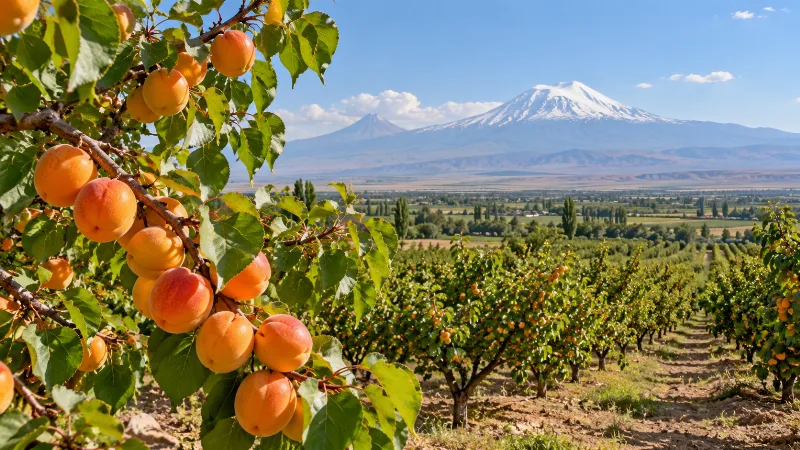
Iğdır Apricots
Iğdır apricots are the sweet, aromatic apricots grown on the warm Aras River plain in eastern Türkiye, where hot dry summers and cold winters shape fruit that is eaten fresh and dried in large quantities.
Explore →
Antep Pistachios
Antep pistachios are the pistachios of Gaziantep and its surrounding plateau in southeastern Türkiye, a nut shaped by hot, dry summers and stony, limestone-rich ground.
Explore →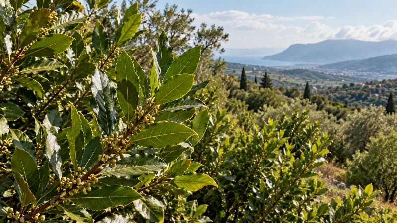
Hatay Bay Leaves
Hatay bay leaves are the aromatic leaves of the bay laurel tree, gathered across Türkiye's southernmost Mediterranean province. The region's mild, rainy winters, limestone slopes and evergreen scrub give the crop a natural home.
Explore →Related content
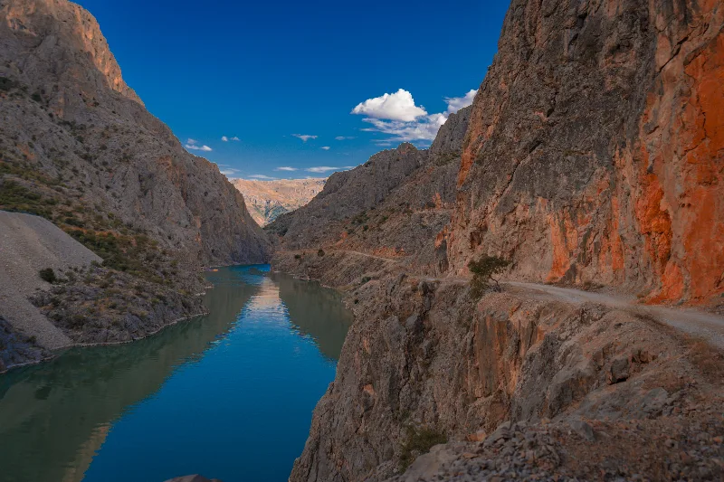
Erzincan
Erzincan is a province in eastern Türkiye, set within a broad valley framed by mountain ranges. The modern city is a regional centre along an important east-west corridor, while the province includes the historic town of Kemaliye, rugged gorges and agricultural land along the upper Euphrates system. Its character reflects both highland geography.
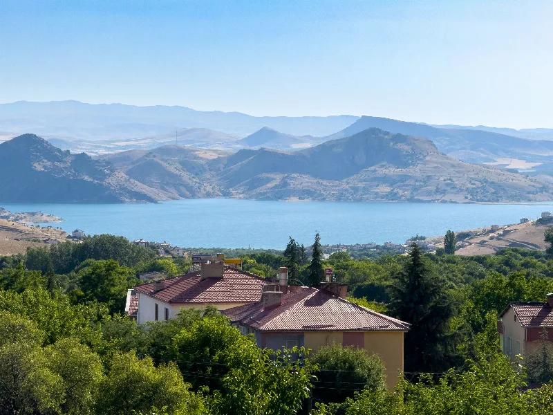
Tunceli
Tunceli is a mountainous province in eastern Türkiye, known for deep valleys, rivers and the Munzur Mountains. Its small provincial capital stands near the confluence of waterways, while much of the surrounding area remains sparsely settled. The province is particularly associated with outdoor landscapes, distinctive local traditions and the rugged geography of eastern Anatolia.
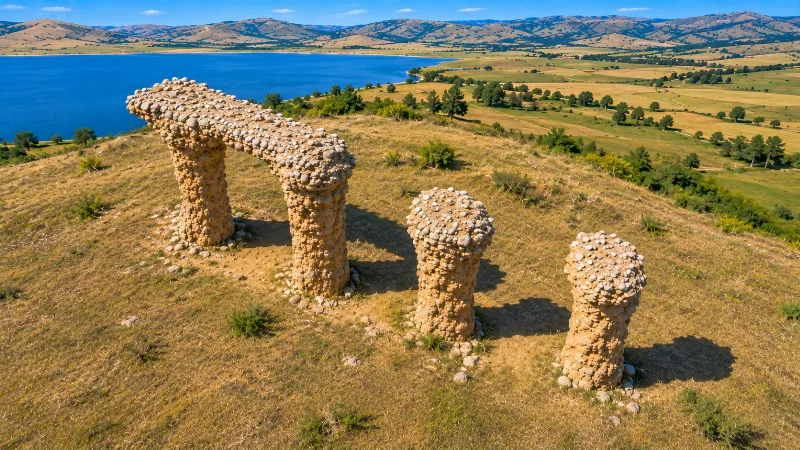
Gümüşhane
Gümüşhane is a mountainous inland province in the eastern Black Sea region, historically associated with silver mining and trans-Anatolian mountain routes. Unlike nearby coastal cities, its provincial centre lies among steep valleys away from the sea. Historic settlements, caves, forested highlands and rocky slopes combine to create a landscape shaped by elevation and.
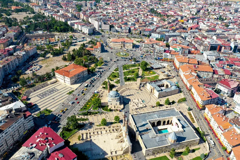
Sivas
Sivas is a large inland province in central-eastern Türkiye, with a high-altitude capital known for Seljuk monuments and its place in modern Turkish history. Broad plains, mountains and historic towns extend across one of the country's largest provincial areas. The city is a major regional centre, while the wider province contains important.
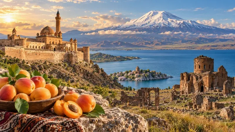
Eastern Anatolia Region
Eastern Anatolia is a region of majestic mountains, vast highlands, beautiful lakes and ancient cultural heritage. Home to Mount Ararat, Lake Van and historic settlements, it offers some of Türkiye's most dramatic natural landscapes alongside distinctive architecture, local traditions and regional cuisine.
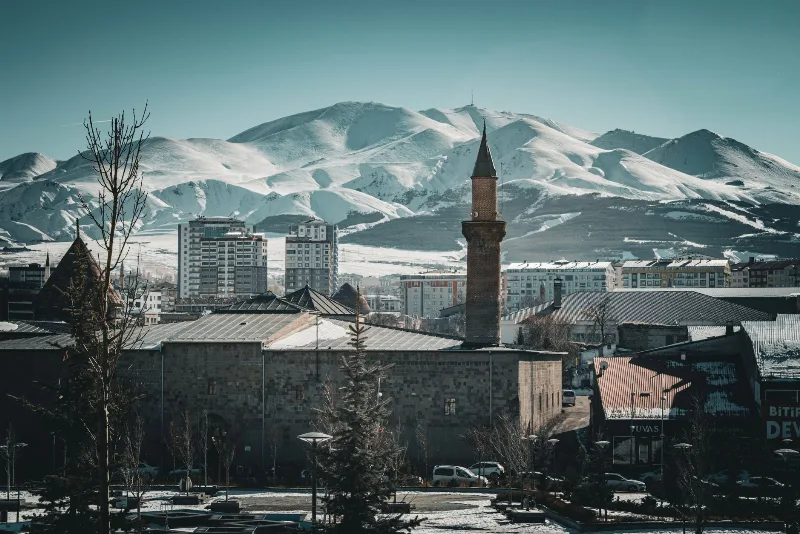
Erzurum
Erzurum is a high-plateau city in eastern Türkiye and the capital of its province, set at roughly 1,900 metres among mountains. It is known for severe winters, the long ski season on Palandöken and a historic centre of Seljuk and Ottoman monuments.