Gümüşhane
Gümüşhane is a mountainous inland province in the eastern Black Sea region, historically associated with silver mining and trans-Anatolian mountain routes. Unlike nearby coastal cities, its provincial centre lies among steep valleys away from the sea. Historic settlements, caves, forested highlands and rocky slopes combine to create a landscape shaped by elevation and.
Gümüşhane is a mountainous inland province in the eastern Black Sea region, historically associated with silver mining and trans-Anatolian mountain routes. Unlike nearby coastal cities, its provincial centre lies among steep valleys away from the sea. Historic settlements, caves, forested highlands and rocky slopes combine to create a landscape shaped by elevation and long-standing movement through the mountains.
Geography and Landscape
Mountain ridges, narrow valleys and seasonal waterways define much of Gümüşhane. The province includes high pastures and forested sections as well as exposed rocky terrain. Its inland setting gives it a different climate from the humid Black Sea coast. In several districts, roads follow river corridors through steep slopes, with small villages situated on valley sides or higher ground. The province’s inland position means the climate and terrain differ substantially from the Black Sea shore just beyond the mountains. Roads cross elevation zones where vegetation changes along the route.
History and Heritage
Gümüşhane's name reflects the area's historical connections with silver and other mineral resources. Mining supported settlement and trade in different periods, including under Ottoman administration. The old settlement of Süleymaniye, also called Old Gümüşhane, preserves traces of a former multi-community town. Historical routes through the mountains linked inland Anatolia with the eastern Black Sea ports. Old mining settlements are evidence of the relationship between natural resources and human geography. Their surviving buildings and paths help tell a story that extends beyond the province’s modern administrative centre.
The names of individual districts matter when describing Gümüşhane: the provincial capital is only one part of a larger administrative area. Natural landmarks and historic settlements may lie well beyond the main urban centre, so the province is best understood as a collection of connected but distinct local landscapes. This distinction is useful when interpreting maps and comparing neighbouring destinations.
Places to Visit
Karaca Cave near Torul is known for its striking interior formations. Süleymaniye offers a different perspective on the area's urban past, while highland villages and mountain viewpoints demonstrate the province's natural diversity. The route toward Zigana is associated with dramatic mountain scenery. Rural excursions reveal changing vegetation, rock formations and settlement patterns across short but winding distances.
Local Culture and Cuisine
Highland agriculture, livestock raising and traditional village life influence local culture. Regional dishes often use grains, dairy products and ingredients suited to mountainous conditions. The historic mining heritage provides an additional layer beyond agriculture. Local architecture in older settlements reflects practical responses to steep ground and seasonal weather, while markets connect rural producers with the administrative centre.
Climate and Seasons
Winters can be cold and snowy, particularly on mountain passes, while summers are generally more moderate at higher elevations. Spring and early summer bring fresh growth to upland areas as snow recedes. Valleys and mountain crests may experience different conditions at the same time. Autumn gradually changes the colours of forested slopes and shortens the period of comfortable access to some elevated roads.
Getting There and Around
Gümüşhane is reached mainly by road, with important connections toward Trabzon, Bayburt and Erzincan. The province's terrain means journeys often follow mountain corridors and winding valley roads. Individual attractions such as Karaca Cave and the old town are outside the modern centre. The nearest wider air transport connections are in neighbouring provinces, depending on the chosen route.
Discover Food in Türkiye
All food →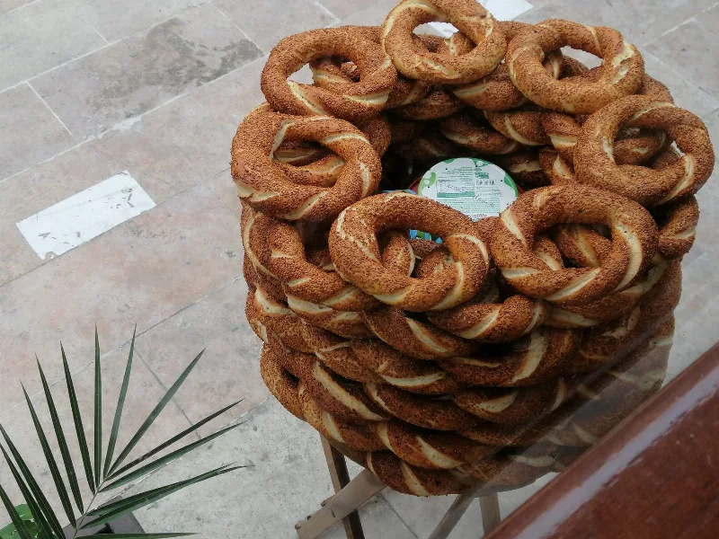
Simit
Simit is a ring-shaped Turkish bread covered in sesame seeds, strongly associated with Istanbul and sold as everyday street food. It is eaten fresh, most often with tea, and has a crisp crust around a chewy crumb.
Explore →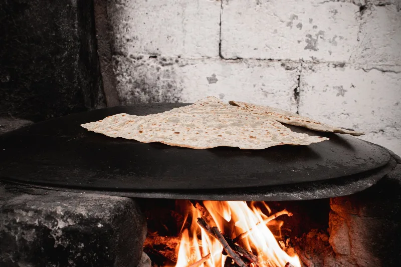
Bazlama
Bazlama is a soft, thick Turkish flatbread made from a leavened dough and cooked on a hot griddle. It is a staple of village baking across Anatolia, eaten warm with butter or used to wrap other foods.
Explore →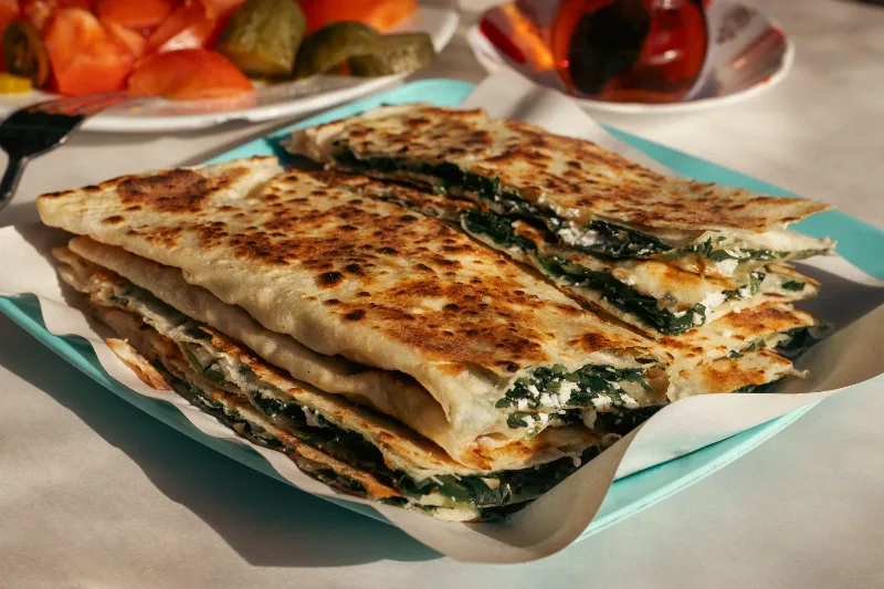
Gözleme
Gözleme is a thin, hand-rolled Anatolian flatbread folded around savory fillings such as cheese, spinach, or minced meat and cooked on a sac griddle. The article covers its regional variations, cooking method, texture, and traditional serving style.
Explore →Related content
Trabzon
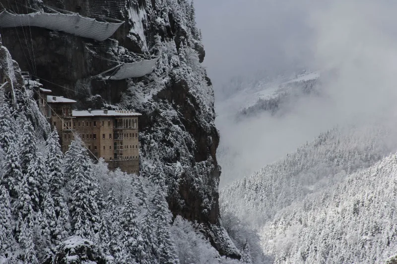
Trabzon is a rain-washed port city on Türkiye's eastern Black Sea coast, framed by the cliffside Sumela Monastery and slopes of tea. Byzantine and Ottoman layers sit close to highland valleys just inland.
Bayburt
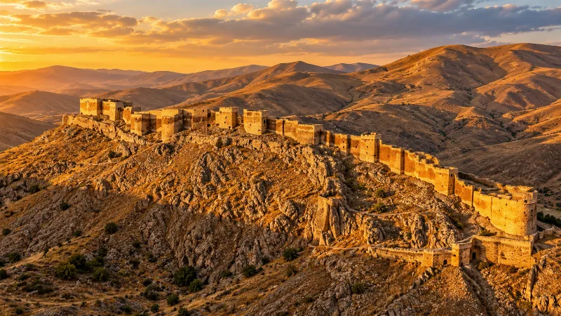
Explore Bayburt, northeastern inland Türkiye: history, standout sights, landscapes, local food and practical travel advice for an unforgettable journey in Türkiye.
Erzincan
Erzincan is a province in eastern Türkiye, set within a broad valley framed by mountain ranges. The modern city is a regional centre along an important east-west corridor, while the province includes the historic town of Kemaliye, rugged gorges and agricultural land along the upper Euphrates system. Its character reflects both highland geography.
Kuymak
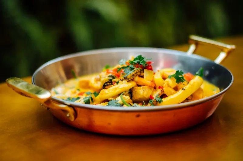
Kuymak is a hot Black Sea dish of cornmeal cooked in butter and blended with a melting local cheese. It is eaten mainly as a breakfast food across Trabzon, Rize, Giresun and the surrounding provinces.
Erzurum
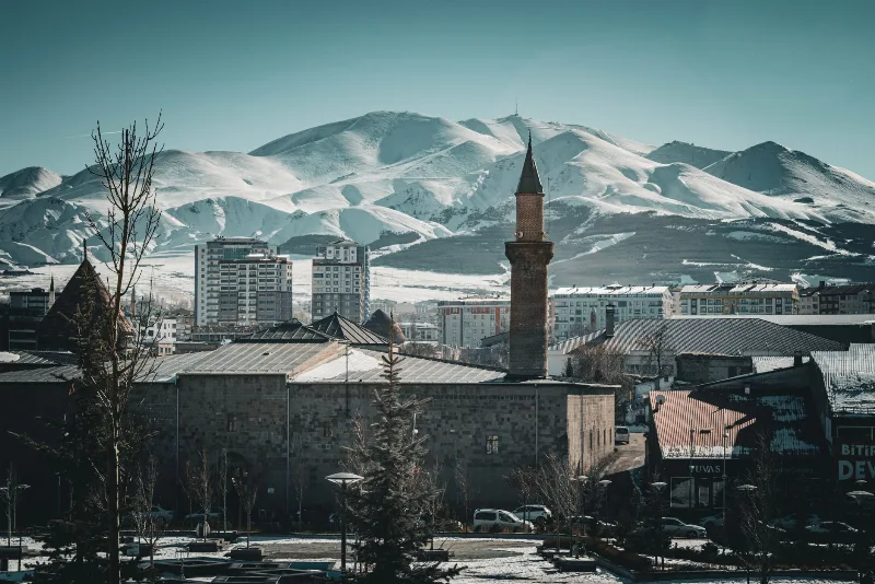
Erzurum is a high-plateau city in eastern Türkiye and the capital of its province, set at roughly 1,900 metres among mountains. It is known for severe winters, the long ski season on Palandöken and a historic centre of Seljuk and Ottoman monuments.
3-Day Trabzon and Uzungöl Route
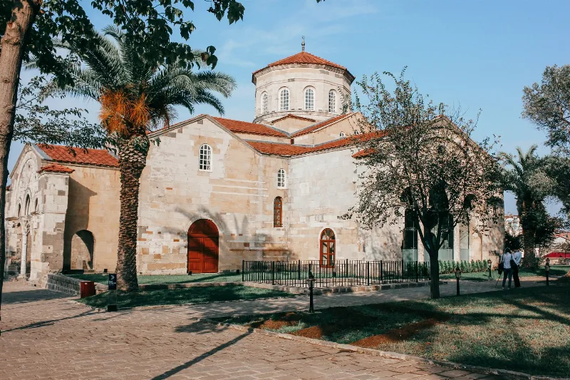
This 3-day route in Türkiye's Eastern Black Sea region starts and ends in Trabzon, visiting Hagia Sophia, Sümela Monastery, and Uzungöl Lake. It blends city sightseeing, mountain driving, and lakeside relaxation.