
Huser
Huser is a seasonal yayla plateau in the Çamlıhemşin district of Rize, high on the Kaçkar slopes above the Fırtına Valley, known for timber houses, summer pasture life and fast-changing mountain weather.
Huser is a highland plateau — a yayla — in the Çamlıhemşin district of Rize Province, on the eastern Black Sea side of Türkiye. It occupies a shelf of pasture on the green, heavily forested slopes of the Kaçkar Mountains, well above the Fırtına Valley, and it is a seasonal settlement rather than a year-round village: a loose group of timber houses and open grazing land that fills with families and livestock in summer and empties again before the first heavy snow. What sets Huser apart from the more heavily frequented plateaus nearby is its scale and its working character — it remains a pasture used for transhumance rather than a resort, and there is very little standing between the visitor and the landscape.
Where Huser Sits in the Kaçkar Landscape
The plateau belongs to the belt of high pasture that runs along the northern flank of the Kaçkar range, the mountain system that forms the backdrop to almost everything in inland Rize. Below it, the land drops away through beech, spruce and fir forest into the Fırtına Valley, the deep green corridor that carries the Fırtına (Çamlıhemşin) river down towards the coast. Above it, the forest thins into open slope and then into bare ridge country.
This vertical arrangement defines the place. Huser is not a plateau on a flat tableland; it is a shoulder of mountain, partly open and partly wooded, with ground that rises and falls rather than stretching out evenly. The altitude is high enough that the air is noticeably cooler than in the valley towns even in midsummer, and high enough that cloud frequently sits at or below the level of the houses, closing the view and then opening it again within minutes. Anyone who has spent time in the eastern Black Sea highlands will recognise the pattern: fog, then a sudden window of clear air, then fog again.
What Kind of Settlement Huser Actually Is
Huser should be understood as a summer settlement. Families from villages lower in the Çamlıhemşin valley have traditionally brought animals up to these pastures for the grazing season, living in the plateau houses from late spring until the weather turns in early autumn. In winter the plateau is left to snow and silence. This means the character of Huser changes completely depending on the month: in July it is a place of livestock, milk, wood smoke and movement; in November it is a group of dark wooden buildings on an empty hillside.
There is no historic town plan here, no square, no grid of streets. The houses are scattered according to the terrain and the needs of grazing, connected by trodden paths and tracks rather than roads. That looseness is part of what makes the plateau legible as a genuinely highland place rather than a village transplanted upwards.
Wooden Houses and the Architecture of the Yayla
The buildings at Huser follow the building tradition of the eastern Black Sea highlands. They are timber structures, often raised on a stone or rubble base that levels them on sloping ground and protects the floor from damp, with pitched roofs designed to shed heavy rain and snow. Wood — planed boards, rough beams, shingle or sheet roofing depending on the individual house — dominates, and the colour of weathered timber against green pasture is the defining visual of the plateau.
Across this region you also find the stilted storage structures known as serender, raised on posts to keep grain and produce away from damp and animals. They are one of the most recognisable elements of Black Sea highland architecture, and the plateau landscape is the context in which they are usually seen. Around the houses, the working details of pasture life are visible: fenced enclosures, hay, water channels, stacked wood.
Walking the Plateau and Reading the Terrain
Visitors do not come to Huser for a circuit of monuments. What there is to see is the place itself: the arrangement of houses, the pasture, the forest edge, springs and small streams, and the changing view down towards the valley and up towards the ridges. Paths run between the dwellings and out onto the open ground, and short walks of an hour or two are enough to understand the shape of the plateau.
The ground is uneven and often wet. Grass holds moisture in this climate, and after rain the paths turn muddy and slippery; boots with grip are more useful than any other piece of equipment. Slopes are steep in places, and there are no railings or marked trails. Because the plateau is used for grazing, animals may be present and fences should be respected. Distances that look short on the ground take longer than expected once the gradient and the mud are accounted for.
How the Plateau Changes Through the Year
The grazing season sets the rhythm. Late spring and early summer bring the greenest conditions, with the pasture fresh and water running high; this is also when the weather is least settled. July and August are the liveliest months, when the plateau is fully occupied and the days are longest, though even then mornings and evenings can be cold and cloud can settle in for a whole day.
September is quieter as families begin to move back down to the valley, and the light becomes clearer and the air drier. From October onwards the plateau is effectively closed by weather rather than by any gate: snow, fog and cold rain make the tracks difficult and the houses empty. Anyone planning a visit should build in flexibility, because a clear forecast for the coast tells you very little about conditions several hundred metres higher on the mountain.
Getting to Huser
The approach is made from Çamlıhemşin, the small district centre at the heart of the Fırtına Valley, which is reached by road from the city of Rize along the coast and then inland. From Çamlıhemşin the route climbs through forested villages on the valley side and continues up onto the pasture belt. Expect a narrow mountain road with steep gradients, tight bends and limited passing space; the upper section is the kind of surface that rewards a vehicle with decent clearance and a driver who is comfortable reversing.
Do not count on scheduled public transport reaching the plateau itself. Most visitors arrive by private vehicle, and the final stretch is often covered slowly on foot. Travellers coming from outside the region usually fly or take a bus to Trabzon or Rize and continue by road; the drive from the coast up into the mountains is long and should not be compressed into a rushed day.
Practical Notes Before Setting Out
- Weather at this altitude is wet and changeable in every season; waterproof layers and warm clothing are needed even in high summer.
- Mobile signal is unreliable on the upper slopes and in the folds of the terrain.
- Do not expect the facilities of a valley town on the plateau; supplies, fuel and cash should be sorted out lower down.
- Fog can reduce visibility quickly, so note the route and any turnings on the way up.
- The plateau is private working land in practice; keep gates as you find them and give livestock and households space.
- Allow more time than the map suggests for both the drive and any walking.
Other High Pastures and Valleys Within Reach
Huser belongs to a wider network of plateaus above Çamlıhemşin, and it is usually visited as part of a mountain route rather than as an isolated destination. Pokut, Sal, Gito, Elevit and Amlakit are all part of the same high pasture country in the Kaçkar Mountains, each with its own layout of wooden houses and its own view across the ridges. Lower down, the Fırtına Valley holds the historic stone arch bridges and the small medieval castle known as Zilkale, both of which sit within the same district and the same river corridor.
Ayder, further east in the Hemşin district, is the best-known highland settlement in Rize and offers a very different, far busier experience of the same landscape type. Çamlıhemşin itself, at the bottom of the valley, is the natural base for understanding the geography: from there the road up to Huser reads clearly as a climb from tea and maize country into pasture country, with the forest belt in between.
From the land
Find All →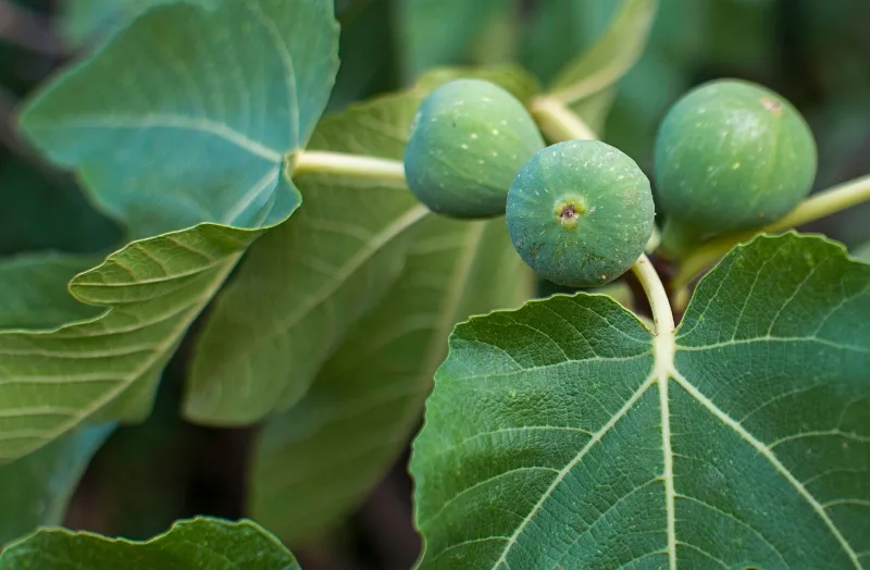
Aydın Figs
Aydın figs are the dried figs of Türkiye's Aegean interior, grown in the valleys around the Büyük Menderes River and prized for their sweetness, soft texture and pale amber colour.
Explore →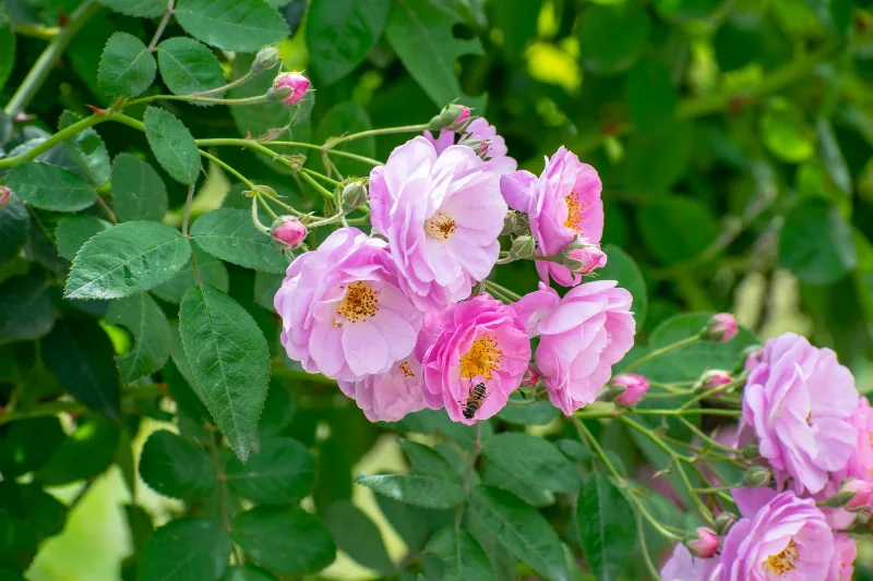
İsparta Roses
İsparta roses are the Damask rose grown around Isparta in southwestern Türkiye, where a dry, high-altitude climate and snow-fed soils give the flowers enough essential oil to support a long-standing rose oil and rose water industry.
Explore →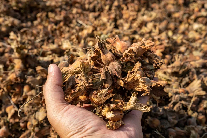
Giresun Hazelnuts
Giresun hazelnuts are the nuts of hazel trees grown on the rainy slopes of Giresun province on Türkiye's eastern Black Sea coast, valued for their rounded kernels, thin shells and high oil content.
Explore →Related content
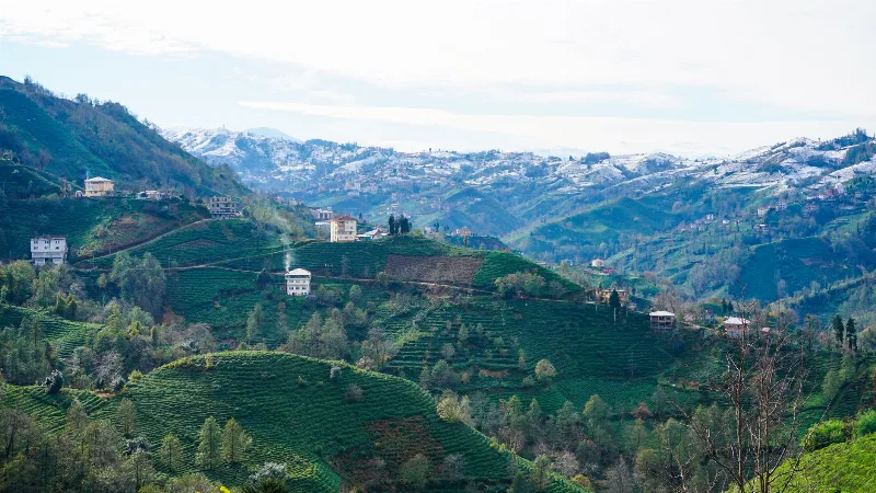
Rize
Rize is the capital of Rize Province on Türkiye's northeastern Black Sea coast, a city shaped by tea plantations, steep forested slopes and the high plateaus of the Kaçkar Mountains further inland.
Kaçkar Mountains
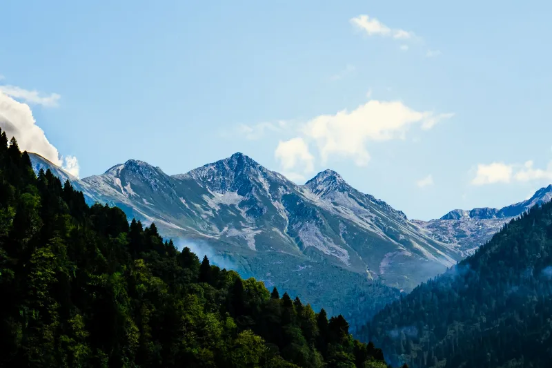
The Kaçkar Mountains form the highest section of Turkey's Black Sea ranges, a glacially sculpted landscape of sharp summits, cirque lakes and high summer pastures.
Trabzon
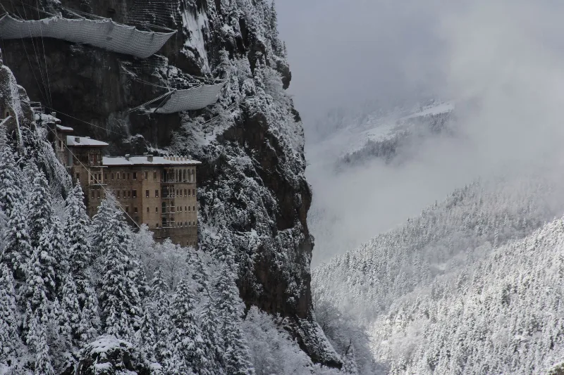
Trabzon is a rain-washed port city on Türkiye's eastern Black Sea coast, framed by the cliffside Sumela Monastery and slopes of tea. Byzantine and Ottoman layers sit close to highland valleys just inland.
Ayder
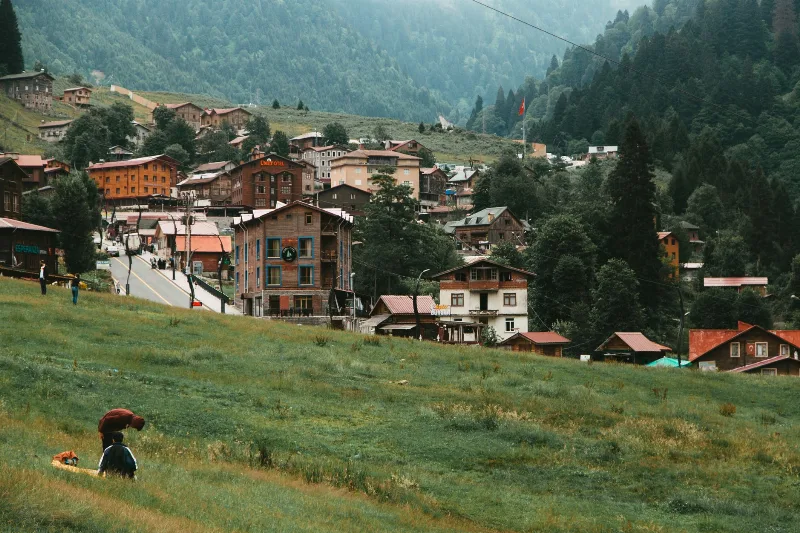
Ayder is a highland village in the Çamlıhemşin district of Rize, set in the Kaçkar Mountains and known above all for its thermal springs, timber architecture and waterfalls.
Gito
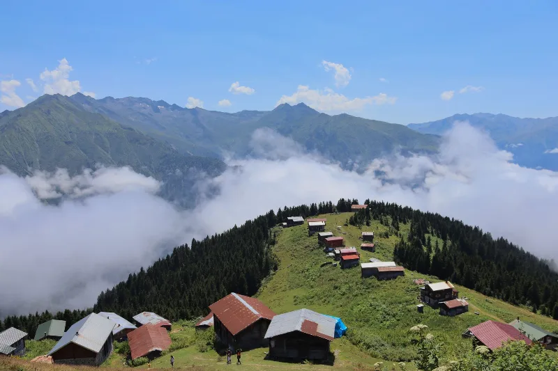
Gito Yaylası is a seasonal highland settlement in the Çamlıhemşin district of Rize, set in the Kaçkar Mountains above the Black Sea valleys and known for its wooden yayla houses, open meadows and summer pasture life.
7-Day Eastern Black Sea Highlands Route: Trabzon to Artvin
A seven-day driving route through the Eastern Black Sea highlands, from Trabzon and Sumela to Uzungöl, Ayder, the Kaçkar Mountains and the forests of Şavşat, ending at Artvin.