
Lake Beyşehir
Lake Beyşehir is the largest freshwater lake in Turkey, set in a tectonic basin between Konya and Isparta and framed by the Sultan Mountains. Its scale, fresh water and protected status make it one of the defining landscapes of the Lake District.
Lake Beyşehir (Beyşehir Gölü) is the largest freshwater lake in Turkey, occupying a closed tectonic depression on the western edge of the Konya Plain, where the provinces of Konya and Isparta meet. It lies at roughly 1,120 metres above sea level within the Lake District (Göller Yöresi), the chain of lakes that runs through southwestern Anatolia. Its combination of size, fresh water and a mountain-framed setting gives it a character clearly different from the saline and alkaline lakes found elsewhere in the same region.
Where Lake Beyşehir Is Located
The lake sits in south-central Anatolia, roughly between the cities of Konya to the northeast and Isparta to the west. The eastern shore belongs to the Beyşehir district of Konya Province, and the town of Beyşehir stands close to that shoreline. The southern and western shores fall within Isparta Province, in the districts of Şarkikaraağaç and Yenişarbademli. To the west, the Sultan Mountains rise above the water, separating the lake basin from the neighbouring Eğirdir basin. The surface area is commonly given as around 650 square kilometres, although the exact figure shifts with water level, which has varied noticeably over recent decades.
A Freshwater Lake in a Tectonic Basin
The lake fills a depression formed by tectonic movement and later shaped by karst processes in the surrounding limestone. It is comparatively shallow for its size, and its broad, gently shelving basin holds fresh water rather than the mineral-rich water of lakes such as Burdur or Acıgöl. Water enters mainly from streams and springs draining the surrounding highlands, and the lake has historically been connected through canals toward the Konya Plain to the east. Because it lies in an enclosed basin with limited natural outflow, the balance between inflow, rainfall and water drawn for irrigation directly affects its level, and the shoreline has moved over time as a result.
Shoreline, Islands and Surrounding Terrain
The shoreline is irregular, with bays, peninsulas and several islands breaking up the open water. Some of the larger islands carry the remains of older settlement and Seljuk-era structures, while others remain largely natural, topped with scrub and scattered trees. The landward setting mixes flat, cultivated ground near the eastern and southern shores with steep slopes where the Sultan Mountains and other highlands meet the water. On the western side the terrain climbs quickly, giving wide views across the lake toward the plateau beyond. The contrast between the flat, open eastern margin and the rising western mountains is one of the lake's defining visual features.
Habitats and Wildlife
Lake Beyşehir is an important wetland for waterbirds. Its open water, shallow margins and reed beds support a range of species through the year, and the lake is recognised for its role in the region's birdlife, particularly during migration and the winter months. Reeds and wetland vegetation fringe many stretches of shore, while the surrounding slopes and remnants of woodland provide cover for terrestrial species. Several fish species live in the lake, some of them associated specifically with this basin. The mix of open water, marsh and dry hillside habitats is what gives the area its ecological interest.
The Lake Through the Seasons
Spring brings higher water levels from snowmelt and rainfall in the surrounding mountains, greener slopes and active birdlife. Summer is hot and dry on the plateau, and the lake's level tends to fall as the season advances, exposing broader mudflats and wet ground along parts of the shore. Autumn sees the return of cooler conditions and the beginning of bird movement through the basin. Winter can be cold, with the surrounding highlands receiving snow, and parts of the shallow margins sometimes freeze in prolonged cold spells. The climate overall is continental, with hot summers and cold, often snowy winters at this elevation.
Beyşehir Gölü National Park
Large parts of the lake and its immediate surroundings are protected within Beyşehir Gölü National Park, established in 1993. The protected area covers the lake and stretches of the adjoining shoreline and hills, reflecting the site's importance for wildlife and its value as a natural landscape. Protection here is tied to the lake's freshwater status, its bird populations and its broader ecological functions, and it shapes how the area around the water is managed.
Reaching and Exploring the Area
The lake is reached most easily from Beyşehir town on the eastern shore, which is connected by road toward Konya and Isparta. Several villages and small settlements sit along the shoreline, and roads and tracks follow parts of the lake, allowing access to different stretches of the shore and views across the water. The terrain near the water is generally gentle, while the western slopes rise more steeply. Visitors should be aware that water levels fluctuate, that some shoreline areas are soft or marshy, and that conditions on the open plateau can change quickly with weather. There is no reason to expect a warm or sheltered climate: the elevation means cool nights even in summer.
Nearby Natural Places
Lake Beyşehir is part of a wider cluster of lakes, and other natural areas lie within reasonable distance. To the west, across the Sultan Mountains, sits Lake Eğirdir, a large freshwater lake with its own distinct character. To the southeast, Lake Suğla lies in a separate basin, historically linked to Beyşehir through canals. The Sultan Mountains themselves offer higher ground, woodland and wide views back over the lake, and the surrounding plateau holds further stretches of steppe and farmland. Together these features make the Beyşehir area one of the most recognisable lake landscapes in Türkiye.
Beaches & bays
See the coast →
Related content
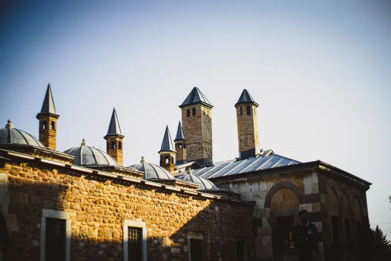
Konya
Konya is a city known for its spiritual essence and cultural heritage, home to the Mevlana Museum and the whirling dervishes.
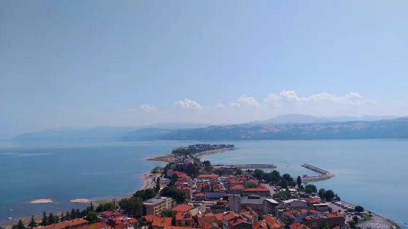
Isparta
Isparta is a city in southwestern Türkiye, renowned for its rose oil production and apple orchards. It serves as a hub for the Lakes Region, with Lake Eğirdir and several natural parks nearby.
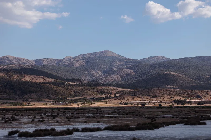
Burdur
Burdur is a provincial capital in southwestern Türkiye, set in the inland Lakes District beside a large saline lake and known for the Roman ruins of Sagalassos and one of Anatolia's oldest Neolithic settlements.
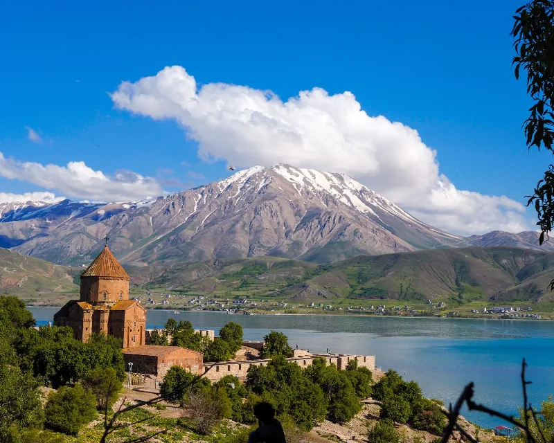
Lakes and Natural Beauty in Türkiye
A journey through the lakes of Türkiye, from the wide soda waters of Lake Van to forest pools in Bolu, salt flats on the Central Anatolian plateau and reed beds full of birds.
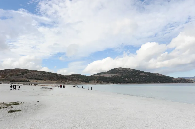
Lake Burdur
Lake Burdur is a large tectonic soda lake in Burdur Province, south-western Türkiye, with strongly alkaline water, a broad shifting shoreline and international importance for wintering waterbirds. Its closed basin, mineral chemistry and retreating waterline make it one of the most distinctive inland landscapes of the Turkish Lakes Region.
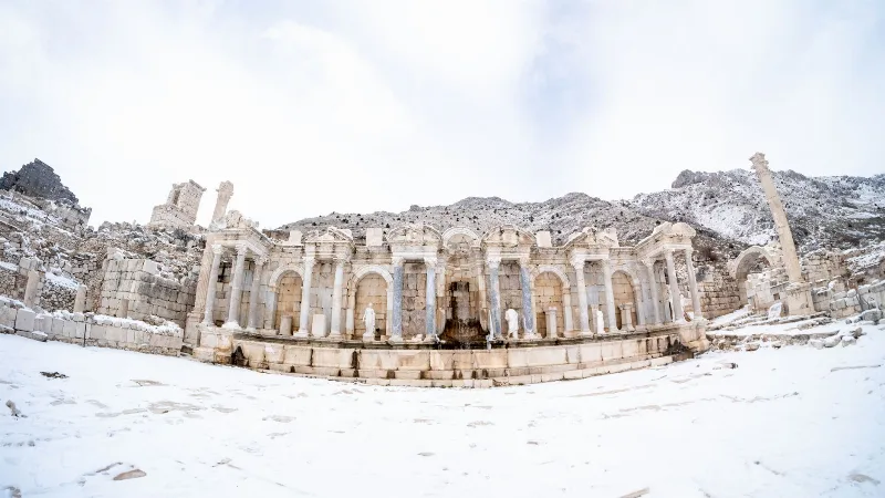
Sagalassos
Sagalassos is a ruined Pisidian city in Burdur Province, Türkiye, set high in the Taurus Mountains and best known for its monumental fountain, library and remarkably intact Roman civic buildings.