
Derinkuyu Underground City
Derinkuyu Underground City is a multi-level rock-cut settlement beneath the town of Derinkuyu in Nevşehir Province, the deepest known underground city in Cappadocia and one of Anatolia's most complete examples of subterranean architecture.
Derinkuyu Underground City is a multi-level rock-cut settlement dug downward through soft volcanic tuff beneath the modern town of Derinkuyu, in Nevşehir Province in the Cappadocia region of central Türkiye. It is the deepest of the underground cities known in Cappadocia, descending through a sequence of levels, and it is generally estimated to have offered shelter to several thousand people together with their animals and stored food. Its combination of tunnels, stone doors, stables, wells, storage rooms and chapels makes it one of the most complete surviving examples of subterranean architecture in Anatolia, and the clearest demonstration of how communities in Cappadocia adapted both to the region's unusual geology and to long periods of insecurity.
Where Derinkuyu Is Located
The underground city lies beneath the centre of Derinkuyu, a district town in Nevşehir Province on the main route running south from Nevşehir towards Niğde, roughly thirty kilometres from Nevşehir. The town above ground stands on a broad, level agricultural plain rather than on one of the dramatic rock outcrops associated with Göreme, Uçhisar or Ortahisar, and nothing in the flat townscape above indicates the scale of what lies underneath. Entrances to the underground complex open directly from within the town, and its passages extend beneath surrounding streets and houses.
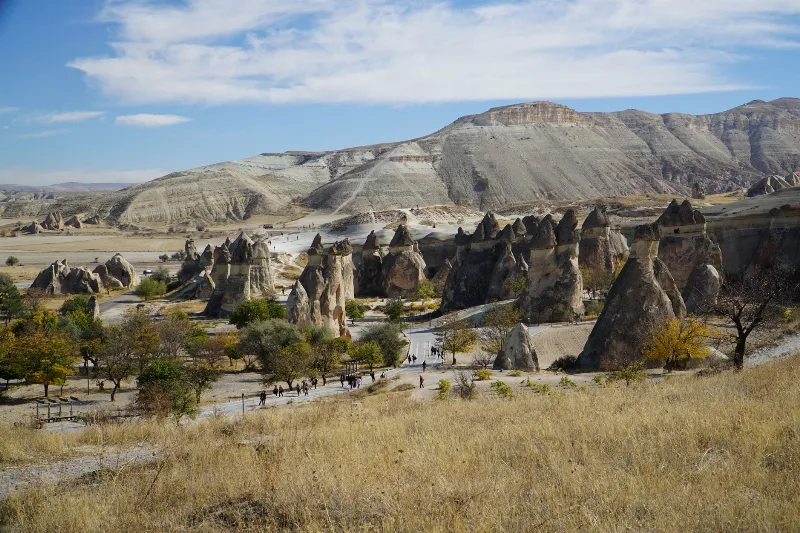
The wider setting belongs to the volcanic landscape of Cappadocia, a plateau shaped by ash and lava ejected by the region's volcanoes, above all Erciyes Dağı, Hasan Dağı and Göllü Dağ. Thick layers of compressed volcanic ash, known as tuff, cover much of this plateau. It is this rock, rather than older limestone or basalt, that made the whole tradition of rock-cut architecture in Cappadocia possible, from the churches of Göreme to the underground cities of Derinkuyu and Kaymaklı.
Why Underground Cities Could Be Dug Here
Tuff is soft enough to be cut with simple iron tools while it is still fresh, but it hardens on contact with air and can then support large excavated spaces for long periods. This combination allowed builders in Cappadocia to carve rooms, staircases, shafts and whole networks of passages without importing stone or timber. In Derinkuyu the same geological advantage is used vertically: rather than building upwards, the settlement was sunk downwards, level by level, into the rock beneath the plain.
The practical consequences are visible throughout the site. Walls, floors and ceilings are cut rock rather than masonry; doorways, niches and storage bins are simply hollowed out of the same material. Because tuff can be shaped precisely, the excavators were able to close passages with large circular stones, cut shafts for air and water, and design sloping tunnels that could be defended easily.
Historical Background: From Early Rock-Cut Settlement to Byzantine Refuge
The precise date when Derinkuyu was first excavated is not established, and the site is not associated with a single builder or a documented foundation event. Many scholars link the earliest rock-cut underground settlements of Cappadocia to the Phrygians, who were present in central Anatolia from roughly the eighth century BC onwards, and it is widely accepted that the region's underground cities grew gradually, with different phases of excavation added over many centuries. Some accounts also connect the origins of such cavities with even earlier populations, but this remains a matter of interpretation rather than firm evidence.
Written testimony about underground dwellings in Anatolia goes back to antiquity. The Greek writer Xenophon, describing the interior of Asia Minor around 400 BC, mentions communities living in underground houses with separate entrances for people and for livestock. This passage is frequently cited in discussions of Cappadocian subterranean settlements, although it cannot be tied to Derinkuyu specifically.
The period in which the underground city reached something like its present extent belongs to late antiquity and the Byzantine era. As Christianity spread through Cappadocia, the region became an important monastic and ecclesiastical centre, and underground spaces were used for chapels, refectories and communal rooms as well as for storage. The decisive factor in the later history of Derinkuyu, however, was war.
The Age of Raids and the Function of the City
From the seventh century onwards, Arab armies raided Anatolia repeatedly, and Cappadocia lay on one of the main routes between the frontier zones and the Byzantine interior. In these conditions, a settlement that could vanish into the ground had obvious value. Derinkuyu's design reflects defence rather than display: entrances were narrow and could be sealed, passages were deliberately low and twisting so that attackers would have to move in single file, and the deep levels were protected by stone doors that could be rolled across a tunnel from the inside.
The city was not simply a fortress, however. Its rooms were organised for long stays, with storage areas for grain and other provisions, spaces for animals, wells and cisterns for water, and areas that appear to have served communal or religious functions. The scale of the storage facilities suggests preparation for extended periods below ground rather than brief emergencies, and later tradition holds that the population of the surrounding district could retreat there with its livestock when raiding parties approached.
Architecture and Engineering Inside the Rock
The Rolling Stone Doors
The most recognisable feature of Derinkuyu is the series of circular stone doors, cut as heavy discs with a central hole. Each was rolled along a shallow channel cut into the floor and wall, and could be wedged shut from the inside, blocking a passage completely. These doors are placed at strategic points in the tunnel system, and they show clearly how movement through the city could be controlled level by level.
Ventilation Shafts and Water Supply
Because air and water could not be taken for granted underground, the excavators cut a network of vertical shafts connecting the lower levels with the surface. These shafts supplied fresh air and allowed smoke and stale air to escape, and some of them are among the deepest features of the site. Water was provided by wells cut down through the rock to reach the water table and by cisterns that collected seepage and surface water, an essential provision for any community intending to remain below ground during a siege or raid.
Living Quarters, Stables and Communal Rooms
Along the tunnels are rooms of very different sizes and shapes: small family living spaces, larger communal halls, stables with carved feeding troughs, store rooms with hollowed bins for grain, wine presses and areas associated with religious use, including a cruciform chapel. Some of the lower levels contain what are described as meeting or assembly spaces and a room often interpreted as a religious school. Ceilings are generally low and passages narrow, reflecting the effort required to remove rock and the desire to keep the settlement compact and defensible.
What Survives Today and What Visitors Can See
The site is presented as a museum and a route through the excavated levels is open to visitors, with lighting and handrails installed along the main passages. The visitor descends through a sequence of connected areas where the carved storage bins, stables, kitchen spaces, chapels and stone doors can be seen at close range. Not all of the levels identified within the complex are accessible; only part of the system is open, and the deepest sections are not part of the normal route.
The physical experience of the site is part of what it communicates. Ceilings are low, tunnels are narrow and often sloping, and the descent requires bending and careful footing in places. The temperature below ground is cool and relatively stable compared with the surface, which is one reason the spaces were comfortable for long occupation. Visitors with claustrophobia, breathing difficulties or limited mobility should consider the physical demands of the route carefully before entering.
A persistent local claim holds that a long tunnel once connected Derinkuyu with the underground city of Kaymaklı, about ten kilometres to the north. This connection is repeated in popular accounts but has never been confirmed archaeologically, and it should be treated as a tradition rather than an established fact.
Rediscovery and Modern Status
Derinkuyu was not continuously remembered as a single, known monument. Its re-emergence in modern times is usually dated to the early 1960s, when a passage was discovered behind a wall in a house in the town, leading to the exploration of the chambers beyond. The underground city was subsequently cleared and opened to visitors in the mid-1960s, and it has since been studied as one of the principal underground settlements of Cappadocia.
The town above the site has its own layered history. It was known to its Greek-speaking inhabitants as Malakopi, and it formed part of the Cappadocian Greek world until the population exchange of 1923, when its Christian community left. This recent history sits alongside the much older phases of excavation beneath the streets, and it explains why the place appears in both Greek and Turkish sources under different names.
The rock-cut and underground heritage of Cappadocia is recognised in the UNESCO World Heritage Site known as Göreme National Park and the Rock Sites of Cappadocia, inscribed in 1985, which covers the wider tradition of rock-cut settlement in the region. Derinkuyu itself lies outside the boundaries of that inscribed property and is protected and managed separately as a monument.
Visiting the Derinkuyu Area
Derinkuyu is normally reached by road from Nevşehir or from the towns of the Cappadocia tourist circuit, and it lies on the route towards Niğde and the passes to the south. Because the site is underground, weather above ground matters less than at open-air ruins, and visits are possible through much of the year; snow and ice can make the surrounding roads more difficult in winter, while summer afternoons are the busiest. Early morning visits generally mean fewer people in the narrow tunnels.
Practical points worth knowing before going down include the low ceilings and confined passages, the descent and re-ascent on foot, and the cool, damp atmosphere of the lower rooms. Sturdy shoes are more useful than sandals, and carrying water for the surface is sensible. There are no long walking distances involved, but the site requires more physical effort than a flat archaeological park.
Nearby Historic and Geographical Places
Derinkuyu is best understood as one element of a wider Cappadocian landscape of underground and rock-cut sites. The underground city of Kaymaklı, roughly ten kilometres north, is the closest comparison and shows a similar approach to defence, storage and ventilation. Further north, Nevşehir has its own rock-cut citadel and underground passages, while the valleys around Göreme, Çavuşin and Zelve preserve churches, monasteries and dwellings carved into the same tuff.
To the south and west, the towns of Niğde and the volcanic massif of Hasan Dağı frame the plain on which Derinkuyu stands, and the Ihlara Valley offers a very different kind of rock-cut settlement, following a river gorge rather than descending into the ground. Taken together, these places show how the same geological formation produced monasteries, fortresses, villages and underground refuges across a single region.
Why Derinkuyu Matters
Derinkuyu is significant less for any single spectacular structure than for the completeness of the system as a whole. It preserves in one place the engineering solutions, domestic arrangements and defensive logic of a community that chose to build downwards: ventilation shafts that made deep occupation possible, stone doors that sealed passages, wells that supplied water underground, and rooms that supported both daily life and worship. For anyone studying how people in Cappadocia responded to geology and to conflict, it remains the most instructive of the region's underground cities.
Routes
All routes →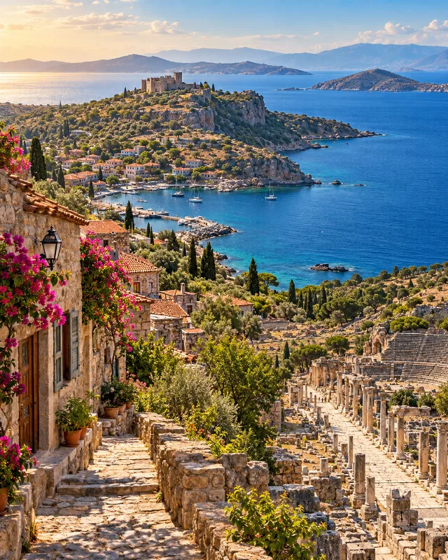
7-Day North Aegean to Ephesus Route
A seven-day southbound route through Troy, Assos, Bozcaada, Ayvalık, Bergama, İzmir and Ephesus, combining archaeology, coastal towns and Aegean culture.
Explore →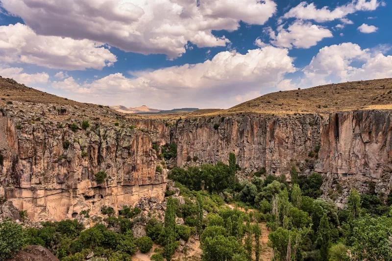
2-Day Cappadocia Underground Cities Route
A two-day route from Nevşehir through the underground cities of Kaymaklı and Derinkuyu, finishing with a walk through the Ihlara Valley and the rock-cut complex at Selime.
Explore →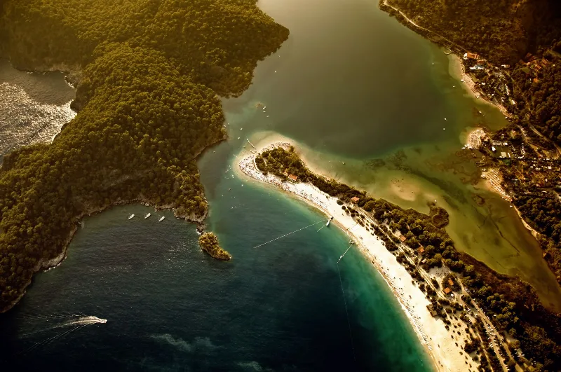
4-Day Lycian Coast Route
A four-day route along Turkey's Lycian coast, driving from Fethiye and Ölüdeniz through Kalkan, Kaş, Kekova, Demre and Olympos to finish in Antalya.
Explore →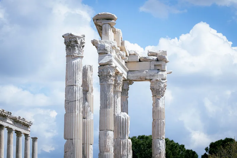
2-Day Bergama and Ayvalık Route: Pergamon to Cunda Island
A compact two-day route that pairs the terraced ruins of ancient Pergamon in inland Bergama with the olive-growing Aegean coast at Ayvalık and the causeway-linked island of Cunda.
Explore →Related content
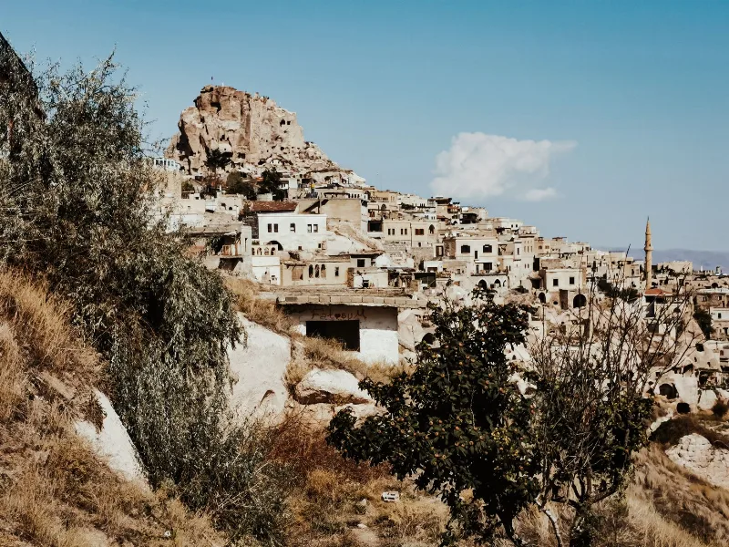
Nevşehir
Nevşehir is a provincial capital in Central Anatolia and the main urban base for the rock landscapes, underground settlements and balloon flights of the Cappadocia region.
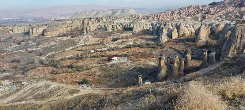
Cappadocia
Cappadocia is a region of Central Anatolia in Turkey defined by eroded volcanic tuff, rock-cut Byzantine churches and multi-level underground cities. This guide explains how the landscape formed, what the main valleys and sites actually contain, and what to know before visiting.
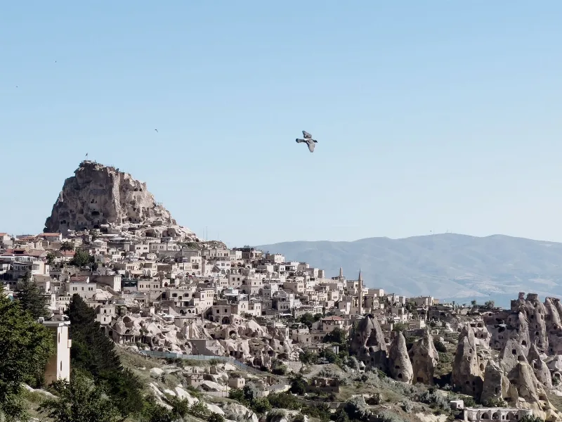
Uçhisar
Uçhisar is a small town in the Nevşehir province of Cappadocia, built around a huge volcanic rock fortress that rises above the surrounding valleys and fairy chimneys.
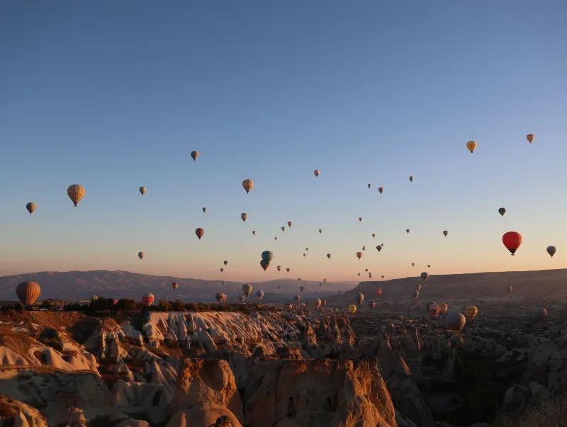
3-Day Cappadocia Route
A practical three-day Cappadocia route that starts in Göreme, heads south to the underground cities and the Ihlara Valley, then continues north through Zelve and Avanos before finishing in Ürgüp.
4-Day Cappadocia to Konya Route
A four-day southbound route from Cappadocia's rock-cut valleys to Konya, linking the underground cities of Derinkuyu and Kaymaklı, the Ihlara canyon, Selime Monastery and the Mevlana Museum. It is a linear, self-drive journey across the volcanic plateau of Central Anatolia into the Konya plain.
Kaymaklı Underground City
Kaymaklı Underground City is a multi-level subterranean complex in Nevşehir Province, Cappadocia, used as a refuge by early Christian communities. It features tunnels, stone doors, storage rooms, and churches carved into volcanic tuff.