Hakkâri
Hakkâri is a high-mountain province in southeastern eastern Anatolia, near Türkiye's borders with Iraq and Iran. The provincial capital and its surrounding districts lie among some of the country's most dramatic alpine landscapes. Steep valleys, extensive mountain ridges and traditional highland communities define an area with a strong regional identity and a very.
Hakkâri is a high-mountain province in southeastern eastern Anatolia, near Türkiye's borders with Iraq and Iran. The provincial capital and its surrounding districts lie among some of the country's most dramatic alpine landscapes. Steep valleys, extensive mountain ridges and traditional highland communities define an area with a strong regional identity and a very different setting from Türkiye's coastal destinations.
Geography and Landscape
The Hakkâri Mountains rise sharply above valleys and river corridors, with high summits remaining snow-covered well into parts of the warmer season. The Cilo and Sat mountain ranges are associated with glacial landscapes and alpine scenery. Vegetation varies considerably by altitude, from valley settlements and pastureland to rocky slopes. The rugged terrain has a major influence on settlement and travel routes. The landscape is often defined by pronounced elevation differences between inhabited valleys and the surrounding alpine environment. Many upland areas become greener only after winter snow recedes.
History and Heritage
The region has a complex history shaped by its borderland geography and the presence of different communities over centuries. Local settlement patterns, seasonal pastoral activities and historic routes across mountain passes offer important cultural context. Rather than a single monumental urban centre, much of the province's historical identity is expressed through communities, place names, landscapes and traditions maintained across generations. The mountains are part of a lived landscape that includes villages, seasonal grazing areas and established routes. Understanding this human geography is as important as identifying the highest peaks.
Places to Visit
The Cilo and Sat Mountains are among Hakkâri's most prominent natural features, associated with high peaks and glacial scenery. Mountain valleys, highland pasture areas and viewpoints offer a sense of the province's scale. Yüksekova is an important district centre within a broad high-altitude basin. Access to individual mountain destinations depends on local conditions, weather and applicable entry or route restrictions.
Local Culture and Cuisine
Pastoral traditions, mountain villages and regional music contribute to Hakkâri's cultural identity. Local meals often draw on dairy products, grains and other ingredients associated with highland life. Seasonal movement between settlements and grazing areas has influenced community routines. The province is also home to Kurdish cultural traditions that form a significant part of its contemporary social and linguistic landscape.
Climate and Seasons
Hakkâri experiences long, cold winters, with substantial snowfall in mountain areas. Summer is comparatively short, although lower valleys can become warm while elevated locations remain cool. Snow can persist on high slopes after surrounding settlements have entered spring. Rapid mountain weather changes and the difference in altitude are important features of the climate throughout the province.
Getting There and Around
Hakkâri is connected to the wider region by mountainous highways. Yüksekova Selahaddin Eyyubi Airport serves the area subject to current flights. Journeys between districts can involve long stretches of winding road, and access to certain border or mountain zones may be subject to restrictions. Local weather, road conditions and official guidance are relevant when planning travel beyond established urban routes.
Discover Food in Türkiye
All food →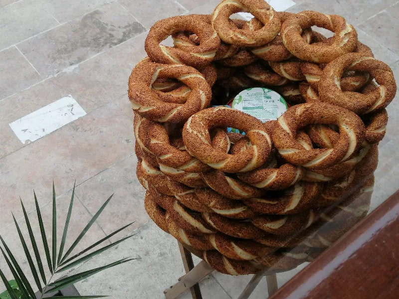
Simit
Simit is a ring-shaped Turkish bread covered in sesame seeds, strongly associated with Istanbul and sold as everyday street food. It is eaten fresh, most often with tea, and has a crisp crust around a chewy crumb.
Explore →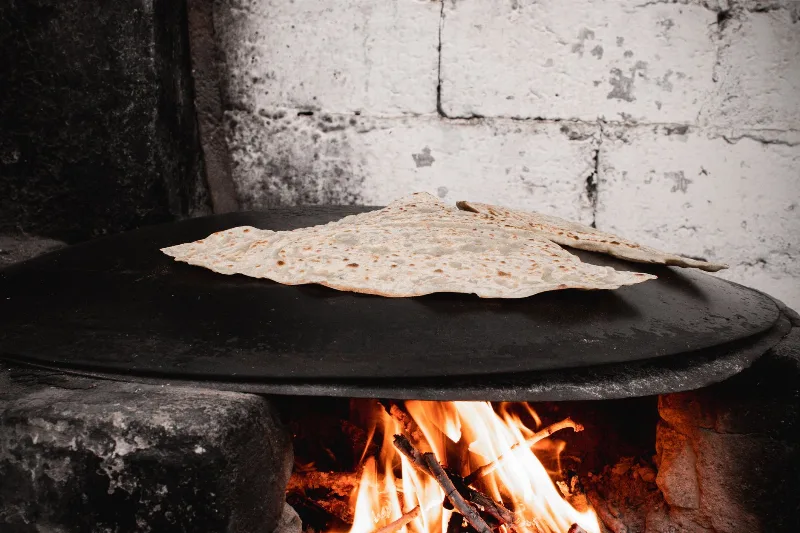
Bazlama
Bazlama is a soft, thick Turkish flatbread made from a leavened dough and cooked on a hot griddle. It is a staple of village baking across Anatolia, eaten warm with butter or used to wrap other foods.
Explore →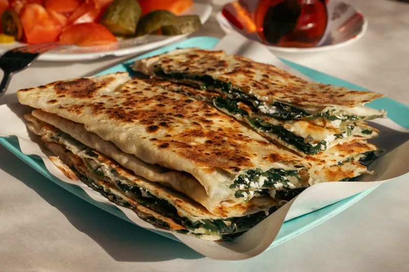
Gözleme
Gözleme is a thin, hand-rolled Anatolian flatbread folded around savory fillings such as cheese, spinach, or minced meat and cooked on a sac griddle. The article covers its regional variations, cooking method, texture, and traditional serving style.
Explore →Related content
Eastern Anatolia Region
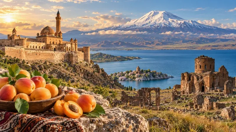
Eastern Anatolia is a region of majestic mountains, vast highlands, beautiful lakes and ancient cultural heritage. Home to Mount Ararat, Lake Van and historic settlements, it offers some of Türkiye's most dramatic natural landscapes alongside distinctive architecture, local traditions and regional cuisine.
Van
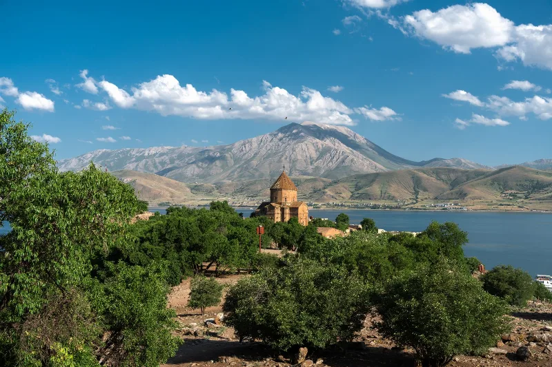
In Türkiye's far east, Van pairs a vast soda lake with a tenth-century island church and a local white cat known for its mismatched eyes. The city itself is a highland base of Urartian ruins, hard winters and an unusually generous breakfast table.
Kilis
Kilis is a small provincial capital in southern Türkiye near the Syrian border. Its compact centre, historic stone buildings and agricultural surroundings distinguish it from larger metropolitan destinations. The city stands within a landscape of olive groves and cultivated fields, and its local identity reflects centuries of cultural exchange in the northern.
Kocaeli
Kocaeli is a heavily urbanised province in northwestern Türkiye, situated east of Istanbul between the Sea of Marmara and the Black Sea. Its administrative centre is İzmit, an industrial and transport hub on the Gulf of İzmit. Beyond the urban corridor, the province includes forested hills, coastal settlements and areas used for outdoor recreation.
Kütahya
Kütahya is an inland city in western Türkiye best known for its centuries-old ceramic and tile-making tradition. The provincial capital lies among hills and agricultural valleys, away from the Aegean coastline. Historic buildings, workshops and nearby thermal areas give the province an identity that combines craftsmanship, urban heritage and the landscapes of inland western Anatolia.
Manisa
Manisa is a provincial capital in western Türkiye, just inland from the Gulf of İzmir and at the foot of Mount Spil. Known for its Ottoman associations, fertile farmland and vineyards, the province extends well beyond the city into a large part of the Aegean interior. Its historic towns and ancient sites.