Kilis
Kilis is a small provincial capital in southern Türkiye near the Syrian border. Its compact centre, historic stone buildings and agricultural surroundings distinguish it from larger metropolitan destinations. The city stands within a landscape of olive groves and cultivated fields, and its local identity reflects centuries of cultural exchange in the northern.
Kilis is a small provincial capital in southern Türkiye near the Syrian border. Its compact centre, historic stone buildings and agricultural surroundings distinguish it from larger metropolitan destinations. The city stands within a landscape of olive groves and cultivated fields, and its local identity reflects centuries of cultural exchange in the northern Levant and southeastern Anatolia.
Geography and Landscape
Kilis lies south of Gaziantep, where gently rolling terrain and plains extend toward the border. Olive trees, vineyards and cereal cultivation are important features of the surrounding countryside. Its relatively low elevation creates a different climate and appearance from the high mountains further north. Rural settlements and fields are closely linked to the city through short regional roads.
The province is geographically small, but its historical associations reach beyond the present administrative boundary. Its setting is most clearly understood through a combination of local architecture, cultivated plains and connections to neighbouring Gaziantep.
History and Heritage
The area has a long history of settlement and trade along routes between Anatolia and Syria. Ottoman-era mosques, traditional houses and old market streets are visible reminders of its regional commercial role. The Ravanda Castle site in the province recalls older layers of fortification and settlement. Rather than being organised around one monumental landmark, Kilis preserves history across its neighbourhoods and districts.
For a fuller understanding of Kilis, it helps to separate the provincial capital from the wider administrative area. The main urban centre contains everyday commercial and civic life, while individual districts preserve their own landmarks, settlement patterns and rural traditions. The location of a site within the province matters: a landscape, archaeological monument or coastal settlement may require travel well beyond the capital. Reading a provincial map alongside local district names makes the variety of the area clearer.
Places to Visit
The historic streets around the city centre, local mosques and stone houses provide opportunities to explore Kilis on foot. Ravanda Castle near Polateli offers a view of the countryside and a contrasting historical setting outside the capital. The bazaar and everyday shopping areas offer another perspective on the city's urban character. Sites are distributed between the centre and nearby rural areas.
Local Culture and Cuisine
Kilis cuisine is associated with dishes such as Kilis tava, as well as olive oil, locally grown produce and regional pastries. Food traditions reflect the connections between southern Anatolia and neighbouring culinary cultures. Olive cultivation shapes the local economy and seasonal routines. Traditional crafts and family-run markets also form part of the province's cultural landscape, without requiring a visit to a formal museum.
Climate and Seasons
Summers are typically hot and dry, while winters tend to be cooler and wetter. Spring and autumn bring milder conditions to the city and cultivated plains. The landscape changes with agricultural cycles, including olive harvesting and the growth of seasonal crops. Open countryside can feel considerably hotter than shaded streets during the height of summer, particularly in the afternoon.
Getting There and Around
Kilis is most commonly reached by road from Gaziantep and other southeastern Anatolian cities. Gaziantep's wider transport network provides a regional connection for longer-distance journeys. The historic centre is relatively compact, while Ravanda Castle and rural districts require additional road travel. Travellers should distinguish between attractions in the provincial capital and those located elsewhere in Kilis Province.
Discover Food in Türkiye
All food →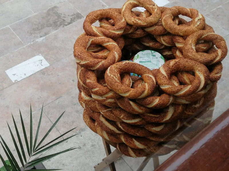
Simit
Simit is a ring-shaped Turkish bread covered in sesame seeds, strongly associated with Istanbul and sold as everyday street food. It is eaten fresh, most often with tea, and has a crisp crust around a chewy crumb.
Explore →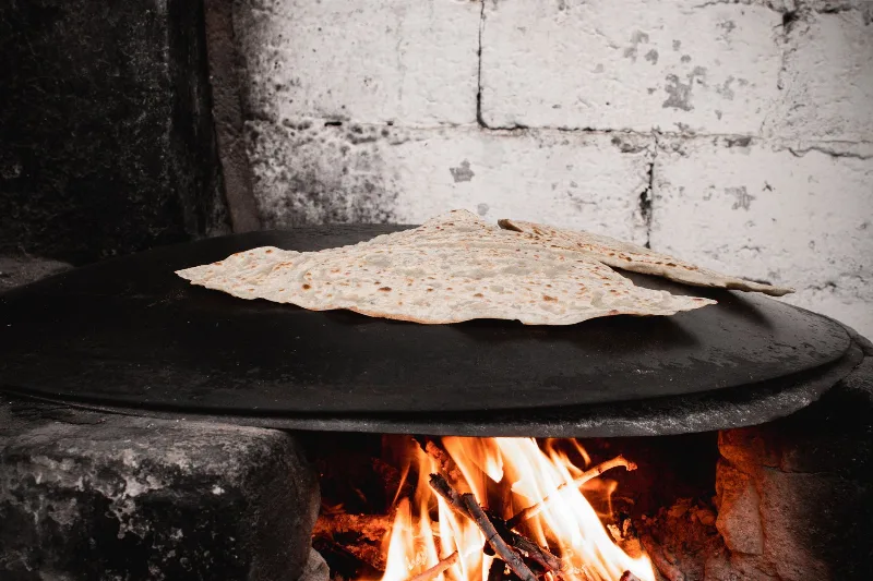
Bazlama
Bazlama is a soft, thick Turkish flatbread made from a leavened dough and cooked on a hot griddle. It is a staple of village baking across Anatolia, eaten warm with butter or used to wrap other foods.
Explore →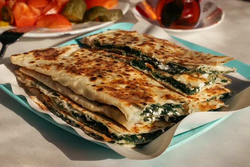
Gözleme
Gözleme is a thin, hand-rolled Anatolian flatbread folded around savory fillings such as cheese, spinach, or minced meat and cooked on a sac griddle. The article covers its regional variations, cooking method, texture, and traditional serving style.
Explore →Related content
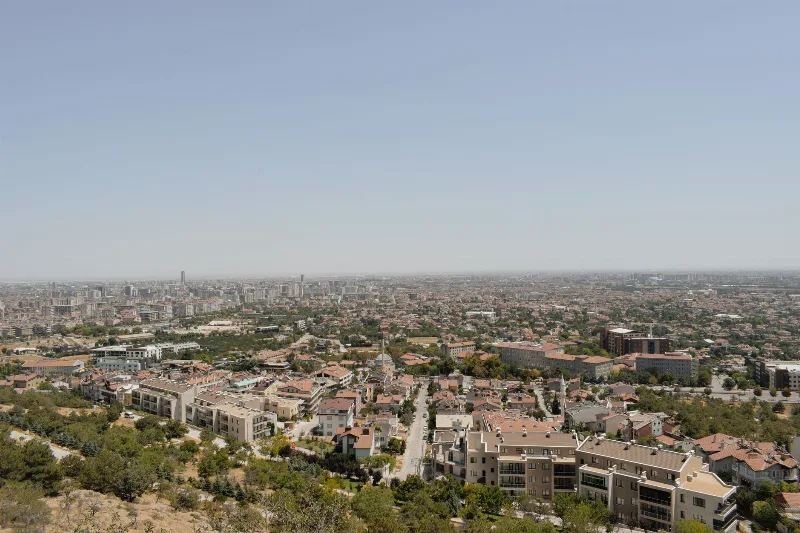
Gaziantep
Gaziantep is a major city in southeastern Türkiye and the administrative centre of its province, widely recognised as the country's gastronomic capital and known for its citadel, bazaars and the Zeugma Mosaic Museum.
Southeastern Anatolia Region
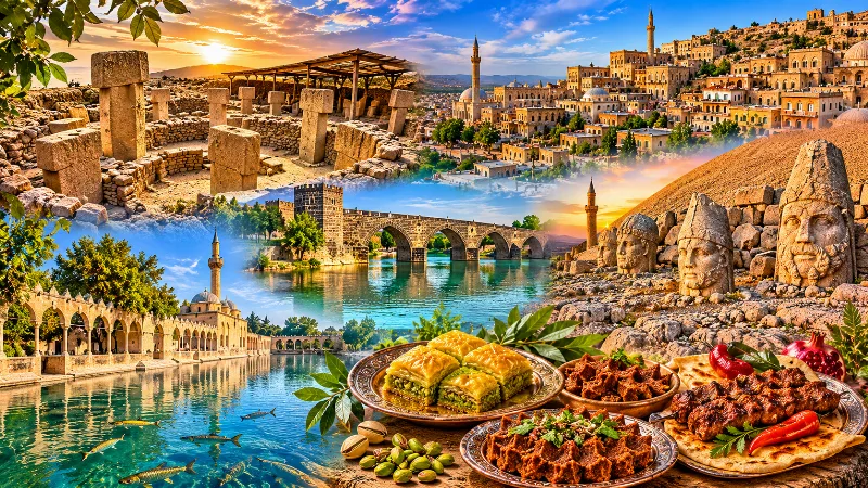
Southeastern Anatolia is known for its ancient cities, extraordinary archaeological heritage, traditional stone architecture and rich culinary culture. From the historic streets of Mardin to the monumental landscapes of Şanlıurfa and the Euphrates River, the region reflects thousands of years of civilization.
Ihlara Valley
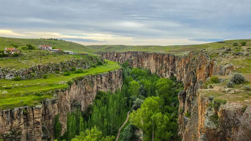
Ihlara Valley is a 14-kilometre canyon in Aksaray Province cut by the Melendiz River, lined with Byzantine rock-cut churches and frescoes. This guide covers its geology, the churches inside it, the walking route and the best time to visit.
Göreme Open Air Museum
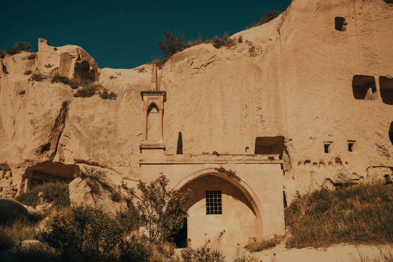
Göreme Open Air Museum is a rock-cut Byzantine monastic complex in the Göreme valley of Cappadocia, Nevşehir Province, whose churches preserve fresco cycles painted between the 10th and 13th centuries. It forms part of the UNESCO World Heritage Site of Göreme National Park and the Rock Sites of Cappadocia.
Soğanlı
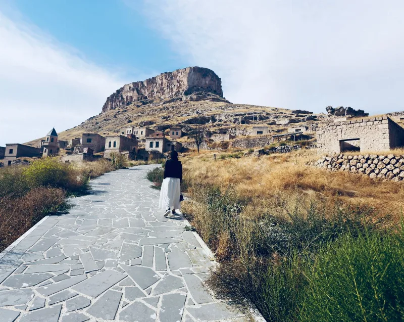
Soğanlı is a small village in Kayseri Province, Türkiye, set in a secluded Cappadocian valley known for its rock-cut churches with Byzantine frescoes. It offers a quiet, rural alternative to the more visited Cappadocia sites.
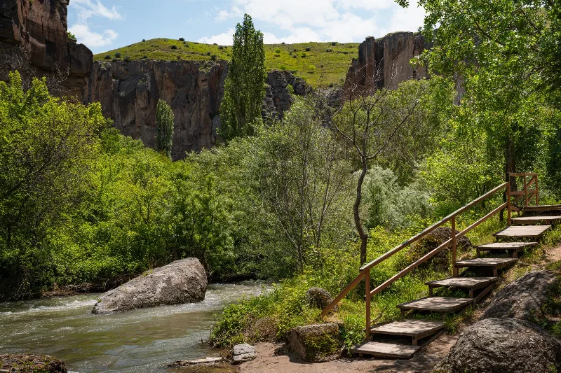
The Ihlara Valley and Its Rock-Cut Churches in Cappadocia
The Ihlara Valley in Cappadocia, Türkiye, is a green canyon carved by the Melendiz River, known for its rock-cut churches, Byzantine frescoes and peaceful walking paths.