Erdek
Erdek is a coastal district of Balıkesir Province on the Sea of Marmara, arranged around a sheltered gulf and backed by the wooded uplands of the Kapıdağ Peninsula.
Erdek is a district of Balıkesir Province on the southern shore of the Sea of Marmara, in north-western Türkiye. Its administrative centre is a compact coastal town set on the Gulf of Erdek, west of the port of Bandırma, and the district extends northwards over the Kapıdağ Peninsula, a wooded upland that rises directly from the water and separates the gulf from the open Marmara coast. Fishing, olive growing and summer tourism shape the local economy, and the town is known above all for the beaches that run along its shoreline and for the seafood served in the district centre.
The Gulf of Erdek and the Kapıdağ Peninsula
Erdek's geography is dominated by two features: the gulf that carries its name and the peninsula that closes it off to the north. The Gulf of Erdek is a broad, comparatively sheltered body of water lying between the mainland shore and the Kapıdağ mass. Because the peninsula wraps around the bay, the water inside it is calmer than the open Marmara beyond, a characteristic that has shaped the district's development as a summer place.
Kapıdağ itself is a hilly, forested peninsula rather than a narrow spit of sand. It is joined to the mainland by a low neck of ground near the eastern end of the gulf, and in antiquity it was an island before sediment carried down over centuries gradually connected it to the shore. The interior is covered with pine and scrub, cut by small valleys and scattered with olive groves and villages that depend on the land rather than on tourism. The coastline of the peninsula, facing both the gulf and the open sea, is correspondingly varied, with stretches of sand on the inner side and steeper, rockier profiles on the outer Marmara shore.
How the town of Erdek is organised
The district centre sits at the eastern end of the gulf, where the road from Bandırma reaches the water. It is a low-rise town of two- and three-storey buildings, laid out along the shoreline and behind it, with the working harbour and the market area forming the practical heart of the place. In summer the population grows considerably as second-home owners and holidaymakers return, and the town's rhythm shifts towards the sea; outside the season it reverts to a smaller settlement based on fishing, olive oil and trade with the surrounding villages.
Beyond the centre, settlement along the coast is dispersed. Ocaklar, further west along the gulf shore, is the best known of the district's coastal settlements and functions as a beach-oriented extension of Erdek during the summer months. Inland, the peninsula's villages are small and agricultural, connected by narrow roads that wind through the hills.
Cyzicus and the district's historical layers
The Erdek area holds one of the more significant archaeological landscapes of the southern Marmara. The ancient city of Cyzicus stood at the base of the Kapıdağ Peninsula, near the present-day village of Belkıs, and its remains — stretches of defensive walls, a theatre, and the surviving columns of a large temple — lie scattered among olive trees and fields rather than being concentrated in a single excavated zone. Cyzicus was a major port and minting city in antiquity, and its position explains much about why this stretch of coast was settled so heavily long before tourism arrived.
The detailed history and visiting information for the ruins belong with the dedicated coverage of the site; for the purposes of understanding Erdek, what matters is that the district is layered rather than purely modern, with a Hellenistic and Roman past sitting immediately beside twentieth-century holiday development.
Coastline and beaches
Sand and shallow water are the district's main summer asset. The beaches along the inner gulf shore are generally calm and family-oriented, while the outer coast of Kapıdağ faces the open Marmara and feels more exposed. Individual beaches differ considerably in character, and the dedicated beach pages cover them one by one; here it is enough to note that the coastline of Erdek district is long, varied, and in many places still backed by fields and pine rather than continuous building.
Olive oil, fishing and regional produce
Olive cultivation is the quiet constant of the Erdek hinterland. Groves cover much of the lower ground on the peninsula and around the villages, and the district's olive oil is part of its identity in a way that is easy to miss if you only see the coast in August. Fishing remains a working activity rather than a display, and the day's catch is what gives the district centre its food culture. The fishing harbours of the southern Marmara coast, the olive presses and the small weekly markets together form a food landscape that continues outside the holiday season.
When conditions are generally most suitable
Erdek has a transitional Marmara climate, with warm, humid summers and cool, often damp winters. The sea is at its most usable from late spring through early autumn; July and August are the busiest and hottest weeks, and the coastal population peaks then. June and September are typically quieter while still offering settled weather, and spring brings green hillsides and flowering olive groves. Outside the summer months, the district is genuinely off-season: many coastal businesses close, but the peninsula's villages, the archaeological area and the working town remain accessible and are far less crowded.
Getting there and how the district connects to its surroundings
The practical gateway to Erdek is Bandırma, the larger port and transport hub immediately to the east, from which roads run west along the gulf to the district centre and onwards around the peninsula. Bandırma is connected by road to Balıkesir, Bursa and Istanbul, and by ferry across the Marmara to Istanbul, which makes the area reachable both by car and on foot. From Erdek, the islands of the southern Marmara — Marmara, Avşa, Paşalimanı and Ekinlik — lie offshore to the west and north-west; they are administratively separate from the district, and the sea crossing to them is part of the wider regional picture rather than of Erdek itself.
Within the district, a car is useful: the peninsula road is slow and winding, and the outer beaches and hill villages are not easily reached without one. Erdek is often treated as a stop on a longer southern Marmara route that includes Bandırma, the islands and the coast towards Mudanya and Bursa, and it works well in that role — a working district with a real off-season life, a substantial ancient site at its edge, and a gulf shoreline that defines how the place is used.
Discover Food in Türkiye
All food →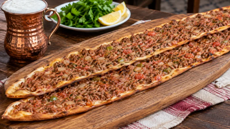
Etli Ekmek
Konya etli ekmek is a long, very thin flatbread topped with finely minced meat, onion and vegetables, then baked quickly in a high-heat oven.
Explore →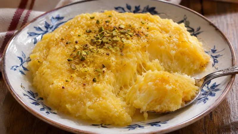
Höşmerim
Höşmerim is a traditional cheese-based sweet associated especially with Balıkesir, made by cooking fresh cheese with semolina and sugar into a soft dessert.
Explore →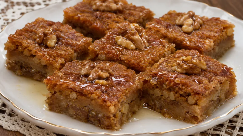
Nevzine Tatlısı
Nevzine is a traditional Kayseri dessert made with a tahini-rich dough, walnuts and a syrup commonly prepared with grape molasses.
Explore →Related content
Balıkesir
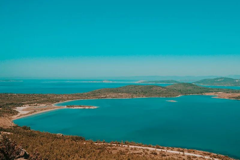
Balıkesir is a large province in northwestern Türkiye extending between the Sea of Marmara and the Aegean Sea. Its inland administrative centre is distinct from its coastal districts, which include well-known seaside towns, islands and fishing settlements. The province brings together agricultural plains, wooded hills, historic communities and two coastlines, making its geography unusually varied.
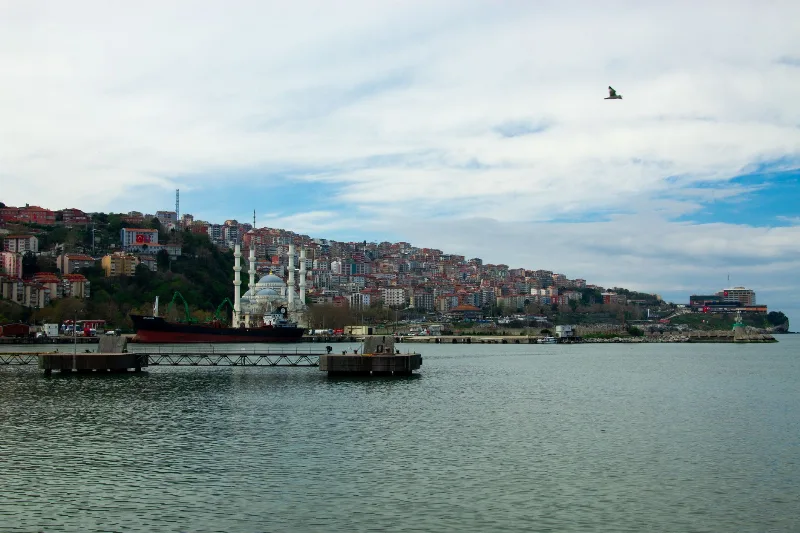
Bandırma
Bandırma is a port and industrial district of Balıkesir Province on the Sea of Marmara, linked to Istanbul by ferry and positioned near Kuşcenneti National Park. Its identity is shaped by maritime trade, transport and the wetlands of the surrounding region.
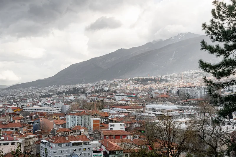
Bursa
Bursa is a major metropolitan city in northwestern Türkiye and the first great capital of the Ottoman Empire, known for its silk heritage, thermal springs and the mountain of Uludağ rising directly behind it.
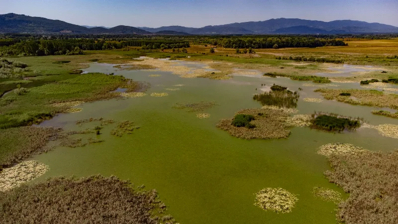
Lake Kuş
Lake Kuş, also called Lake Manyas, is a shallow freshwater lake in Balıkesir Province, northwestern Türkiye, protected as a national park and recognised as one of the country's key wetland bird areas.
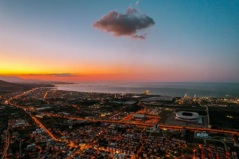
Samsun
Samsun is a large Black Sea port city in northern Türkiye and the historic starting point of the Turkish War of Independence in 1919. It is a major metropolitan centre set between wide river deltas, coastal plains and the mountains of the Black Sea hinterland.
Kazdağı Fir Forests and Walking Trails in Balıkesir
Kazdağı rises above the Edremit Gulf in Balıkesir, its upper slopes clothed in a fir forest found nowhere else on earth. Waymarked paths lead from the foothill villages into cool, shaded woodland.