Bandırma
Bandırma is a port and industrial district of Balıkesir Province on the Sea of Marmara, linked to Istanbul by ferry and positioned near Kuşcenneti National Park. Its identity is shaped by maritime trade, transport and the wetlands of the surrounding region.
Bandırma lies in Balıkesir Province on the southern shore of the Sea of Marmara. It is a district whose town centre operates as a port and industrial hub, and its ferry links across the Marmara to Istanbul give it a transport role that extends well beyond the provincial boundary. The district is also linked in the public imagination with Kuşcenneti National Park, a wetland area near Lake Manyas that lies close to Bandırma.
A Marmara Port with an Industrial Identity
Bandırma's most obvious characteristic is its port. Unlike many coastal settlements in Türkiye whose waterfronts are primarily organised around tourism, Bandırma's shore is tied to working maritime functions, freight movement and passenger crossings. The port supports ferry traffic across the Sea of Marmara, including connections to Istanbul, and this link makes the district an important transfer point between the Istanbul region and the southern Marmara and Aegean hinterlands. The town's economy also includes industry, trade and services, with port-related activity forming part of a wider urban system that extends into the surrounding lowlands.
The urban character reflects this function. The town centre combines commercial streets, administrative offices and transport infrastructure with residential areas, and the waterfront is part of a working port environment rather than a resort strip. This gives Bandırma a practical, year-round feel. It is a place where ferries, roads and local services matter more than a preserved holiday atmosphere. For visitors, that means the district is best understood as a real regional centre with a harbour economy, not as a coastal resort in the conventional sense.
Geography and Setting
Bandırma occupies a position on the southern edge of the Sea of Marmara, within the broader Marmara region of Türkiye. The district belongs to Balıkesir Province, whose territory extends from the Marmara coast toward the Aegean interior. Around Bandırma, the landscape is shaped by coastal conditions, agricultural land and low-lying areas rather than by dramatic mountain scenery. The sea defines the northern edge of the district's identity, while the landward side connects to the roads, fields and settlements of Balıkesir Province.
Lake Manyas, also known as Lake Kuş, lies in the wider area and is central to the reputation of Kuşcenneti National Park. The park is a wetland and bird habitat rather than a conventional urban park, and its presence adds a natural dimension to a district otherwise known for transport and industry. The combination is unusual: a working port and industrial town set close to one of the Marmara region's important wetland environments.
How the District Is Organised
Bandırma should be approached as both a town and an administrative district. The built-up centre concentrates the main commercial and transport functions, while the district's wider territory includes rural land and smaller settlements. The port area and the town centre sit close together, and this proximity helps explain why Bandırma feels like a place of movement and exchange. Road links connect the district with Balıkesir and the surrounding region, while ferry services provide a sea route across the Marmara.
This organisation matters for planning. A visitor arriving by ferry or by road encounters a district centre that functions as a service hub for its surroundings. Bandırma is not organised around a single monument or a compact historic quarter; its main structure is the relationship between harbour, town centre, roads and the agricultural hinterland. That makes it useful as a base for understanding the southern Marmara coast and the northwestern edge of Balıkesir Province.
Historical and Cultural Context
Bandırma's modern identity has been shaped more by trade, transport and industry than by a heritage-tourism image. Its position on the Marmara coast has long made it a point of contact between sea routes and inland roads, and its development as a port settlement reflects that geography. The district's cultural life is therefore tied to a working town rather than to a preserved Ottoman or ancient streetscape. Historical places in the wider province are best considered separately, since Balıkesir contains several destinations with their own distinct heritage profiles.
This does not mean Bandırma lacks cultural interest. Its interest lies in its role as a regional junction and in the everyday life of a port town. The mix of ferry passengers, commercial activity and local routines gives the centre a different rhythm from nearby resort districts. For travellers interested in how the Marmara region actually works — as a system of ports, roads, industry and agriculture — Bandırma is more revealing than a purely scenic coastal stop.
Kuşcenneti and the Natural Surroundings
Kuşcenneti National Park is the best-known natural reference point near Bandırma. It protects a wetland environment associated with Lake Manyas and is recognised for its birdlife. The park is not a beach or a mountain recreation area; it is a habitat where water, reeds and seasonal conditions determine what can be seen. Visitors with an interest in nature should treat it as a place for quiet observation and should check current access conditions before making a special trip.
The wider surroundings also include the Marmara coastline and agricultural landscapes. These are not organised as a single tourist route, but they help explain Bandırma's character. The district sits between the sea and the productive land behind it, and that position has shaped both its economy and its relationship with neighbouring settlements. Beaches and coastal areas along the Marmara and Aegean sides of Balıkesir Province are covered separately where they have their own distinct identities.
Seasonal Conditions and When to Visit
Bandırma has a transitional Marmara climate. Summers are generally warm, winters are cooler and wetter, and spring and autumn tend to be moderate. Because the district is a working port rather than a seasonal resort, it remains active throughout the year. Visitors planning to combine the town with Kuşcenneti National Park should consider that wetland conditions change with the seasons, and birdlife varies accordingly. Spring and autumn are often the most comfortable periods for general travel, while summer brings warmer conditions and more movement along the coast.
The district can be visited as part of a route between Istanbul and the southern Marmara or Aegean regions. Ferry connections across the Sea of Marmara are the most distinctive element of that route, but road access through Balıkesir Province is equally important for understanding the area. Bandırma is therefore useful both as a crossing point and as a place to pause and see how the Marmara coast connects to its inland towns and agricultural plains.
Relationship with Nearby Destinations
Bandırma's regional importance comes from its position between several different zones. To the north and northeast lies the Sea of Marmara and the crossing to Istanbul. To the south and east lies the interior of Balıkesir Province, with its own towns, roads and rural landscapes. The district therefore acts as a hinge between the Istanbul metropolitan region and the southern Marmara and Aegean worlds. This is why Bandırma appears in transport planning and regional geography as much as in coastal descriptions.
For readers exploring Türkiye by region, Bandırma is a useful reference point for the Marmara coast of Balıkesir. It is not a replacement for the province's historic towns, beaches or mountain areas, but it helps explain how they are connected. The district's port, industry and wetland proximity give it a specific identity within Balıkesir and within Türkiye's Marmara geography.
Discover Food in Türkiye
All food →
Etli Ekmek
Konya etli ekmek is a long, very thin flatbread topped with finely minced meat, onion and vegetables, then baked quickly in a high-heat oven.
Explore →
Höşmerim
Höşmerim is a traditional cheese-based sweet associated especially with Balıkesir, made by cooking fresh cheese with semolina and sugar into a soft dessert.
Explore →
Nevzine Tatlısı
Nevzine is a traditional Kayseri dessert made with a tahini-rich dough, walnuts and a syrup commonly prepared with grape molasses.
Explore →Related content
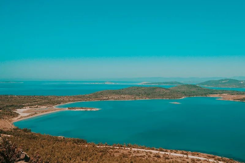
Balıkesir
Balıkesir is a large province in northwestern Türkiye extending between the Sea of Marmara and the Aegean Sea. Its inland administrative centre is distinct from its coastal districts, which include well-known seaside towns, islands and fishing settlements. The province brings together agricultural plains, wooded hills, historic communities and two coastlines, making its geography unusually varied.
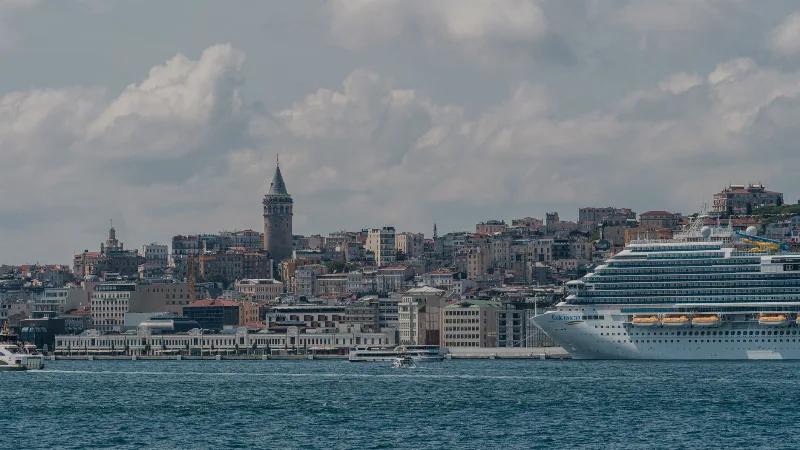
Istanbul
Istanbul is Türkiye's largest city and the country's only metropolis that spans two continents, divided by the Bosphorus strait into a European and an Asian half. Its long run as an imperial capital left a historic core of palaces, mosques and bazaars that still shapes the city's identity.
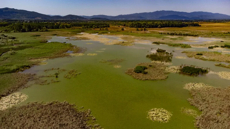
Lake Kuş
Lake Kuş, also called Lake Manyas, is a shallow freshwater lake in Balıkesir Province, northwestern Türkiye, protected as a national park and recognised as one of the country's key wetland bird areas.
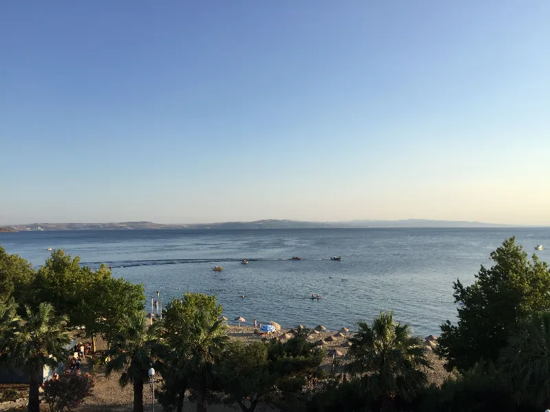
Erdek
Erdek is a coastal district of Balıkesir Province on the Sea of Marmara, arranged around a sheltered gulf and backed by the wooded uplands of the Kapıdağ Peninsula.
Samsun
Samsun is a large Black Sea port city in northern Türkiye and the historic starting point of the Turkish War of Independence in 1919. It is a major metropolitan centre set between wide river deltas, coastal plains and the mountains of the Black Sea hinterland.
Kazdağı Fir Forests and Walking Trails in Balıkesir
Kazdağı rises above the Edremit Gulf in Balıkesir, its upper slopes clothed in a fir forest found nowhere else on earth. Waymarked paths lead from the foothill villages into cool, shaded woodland.