
Gelemiş
Gelemiş is a farming village in the Kaş district of Antalya, set on a coastal plain immediately beside the ruins of Patara and the long sandy beach that once served one of Lycia's most important harbour cities.
Gelemiş is a village in the Kaş district of Antalya Province, on the south-western Mediterranean coast of Türkiye. It stands on a small coastal plain on the Teke Peninsula, the long finger of land that formed the heartland of ancient Lycia, and it lies directly beside the ruins of Patara and the sandy shore that made that city one of the great harbours of the ancient Mediterranean. The village is, in practical terms, the settlement you pass through on the way to those ruins, which gives it a character different from a resort town: it is a working agricultural village whose fields, greenhouses, irrigation channels and garden walls sit immediately next to a major archaeological site and a protected dune and wetland system.
Where Gelemiş Is and How It Fits the Lycian Coast
The village occupies flat ground on the Patara plain, a pocket of alluvial land hemmed in by low hills and reaching down to the sea. Behind it the land rises towards the wooded slopes of the Teke Peninsula; in front of it the plain gives way to sand dunes, then to the beach, and then to the Mediterranean. The administrative centre is Kaş, a coastal town to the east, while the closer small town of Kalkan lies to the west along the coast road. The wider neighbourhood is dense with Lycian history: the sites of Xanthos and Letoon, both inscribed on the UNESCO World Heritage List, lie inland in the Eşen valley, and the long-distance Lycian Way walking route passes through this stretch of coast.
Because the plain is low and partly wet, the area behaves differently from the rocky coves typical of much of the Antalya coastline. Behind the beach there is marshland and standing water, especially in winter and spring, which is one of the reasons the beach and its hinterland have been placed under protection rather than built over.
The Village: A Farming Settlement Beside the Ruins
Gelemiş is not a museum village and does not present itself as one. Its economy has long been based on agriculture, and the plain around the settlement is worked for vegetables, fruit and fodder, with a strong presence of greenhouses and small irrigated plots. Pomegranate, citrus and other Mediterranean crops appear in the gardens, and livestock is still kept in and around the village.
The built character is mostly low-rise and mixed in date. Older stone and timber houses survive here and there, many of them simple two-storey structures with shaded courtyards, but a good deal of the housing is more recent and utilitarian, built to serve a village that has gradually taken on a role in hosting visitors to Patara. The centre is compact and walkable, with a small square, a mosque and lanes that open suddenly onto fields. Because the settlement sits on level ground, moving around on foot is easy, and the transition from village street to open plain to dunes happens within a short distance.
Patara: The Ancient City at the Edge of the Village
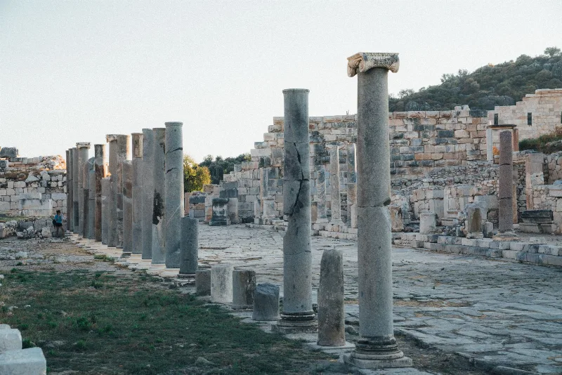
Patara was the principal harbour of Lycia and, for a period, the capital of the Lycian League, the federation of Lycian cities whose federal assembly met here. The city's wealth came from its harbour and from its position on maritime trade routes, and the ruins that survive reflect that status. Among the structures visible today are a large theatre set into the slope, a colonnaded main street, bath complexes, a granary building associated with the Roman imperial period, a triumphal arch marking an entrance to the city, and the remains of a lighthouse. Also here is the assembly building where the Lycian League's representatives met, one of the few surviving structures of its kind from the ancient world.
Gelemiş has grown up alongside all of this. Parts of the ancient city lie close to the modern village, and the archaeological area is a managed site rather than a fenced-off ruin in open country, so the relationship between the living settlement and the ancient one is unusually direct. The harbour that gave Patara its importance no longer exists as such; silting over the centuries has left the plain and the wetland where ships once moored, which is why the beach and the ruins now sit side by side on level ground.
Patara and Saint Nicholas
Patara is traditionally given as the birthplace of Saint Nicholas, the fourth-century bishop of Myra who became the figure behind the Santa Claus tradition. The connection is an old one and is part of why the site has attracted interest beyond archaeology. Visitors walking the ruins will find the city's Christian and late antique layers alongside the earlier Lycian and Roman remains.
Patara Beach and the Sand Dunes
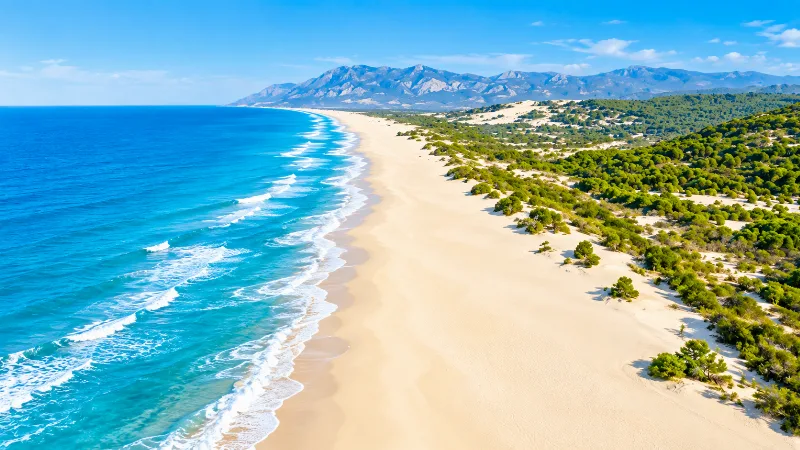
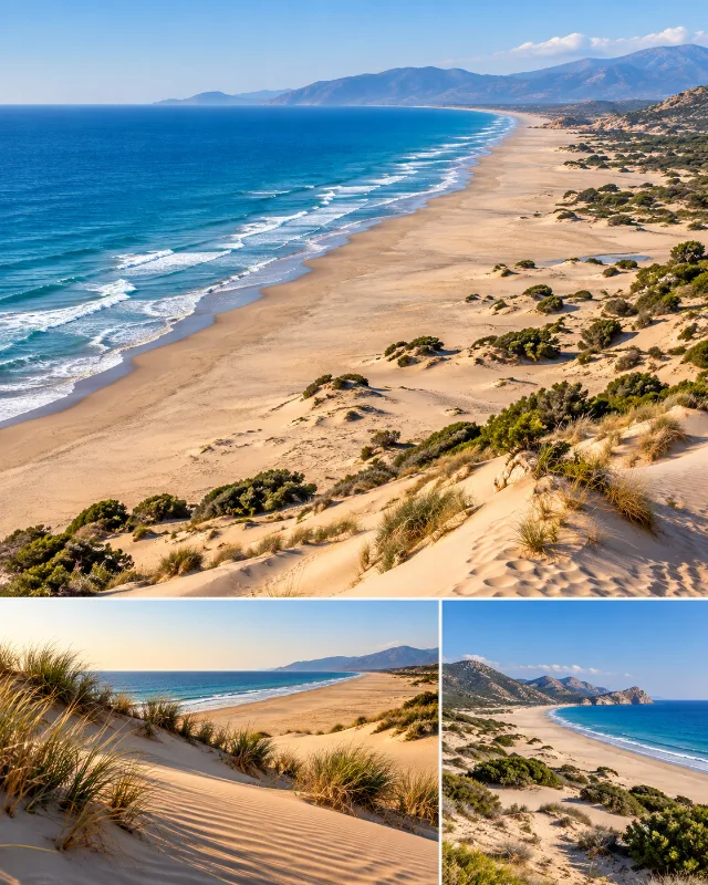
The beach at Patara is one of the longest sandy beaches on the Turkish Mediterranean coast, a wide, gently shelving stretch of sand backed by a belt of dunes. Unlike many beaches in the region, it has no built waterfront: there is no line of hotels along the shore, and the dune zone behind the sand is protected. The scale of the beach is the thing that strikes most people — it is long enough to absorb a substantial number of visitors and still feel open, and walking its full length takes real time.
The sand is fine and pale, and the shallow entry into the water makes it suitable for swimming in calm conditions. Wind can pick up in the afternoons, moving sand along the surface of the dunes, and the open exposure means there is little shade on the beach itself.
Turtles, Wetland and Seasonal Care
Patara beach is an important nesting site for marine turtles, particularly the loggerhead turtle, and the dunes and the wetland behind the beach form part of a protected coastal environment. During the nesting season, which falls in the warmer months, sections of the beach and dune area are managed to reduce disturbance: visitors are generally asked to keep off the dunes, to avoid marked nests and to keep noise and artificial light to a minimum after dark. Access arrangements can change from year to year, so it is worth checking locally when you arrive rather than assuming the whole beach is open in the same way at all times.
The wetland behind the dunes is also of interest in its own right, especially in spring, when water levels are higher and the area attracts birds. In summer much of it dries back, and the landscape around the village becomes correspondingly drier and dustier.
Walking Through Gelemiş and Around the Plain
A walk through Gelemiş itself takes perhaps half an hour if you simply follow the lanes, but the point of the place is the combination of elements within a small area. From the village centre you can move on foot to the edge of the archaeological site, continue to the dunes and reach the beach, all on essentially flat ground. The terrain is easy, though paths across fields and through the dune belt can be sandy or uneven, and summer heat makes midday walking uncomfortable.
The surrounding plain is best explored on the quiet tracks between plots, where the pattern of greenhouses, irrigation channels, vegetable beds and scattered trees gives a clear picture of how the land is used. The low hills behind the village provide a change of level and, from their slopes, a wide view back over the plain, the ruins and the coast.
Getting to Gelemiş
The village is reached from the main coastal highway that runs along this part of the Mediterranean between Fethiye and Kalkan. A signposted road leaves the highway and runs down across the plain to Gelemiş and on towards the Patara site and beach, so the village is effectively the gateway to the archaeological area. Most visitors arrive by car or by minibus from Kaş or Kalkan; public minibus connections exist in the main season but are limited outside it. The nearest airport for this stretch of coast is Dalaman, to the north-west, which serves the wider region.
When to Visit
Spring and early summer are the most comfortable periods. Temperatures are moderate, the plain is green, the wetland still holds water and the archaeological site can be explored without exhausting heat. Autumn is similarly pleasant, with warm sea temperatures and softer light. High summer is hot and the beach is at its busiest, while winter is mild but wetter, with fewer services operating and a quieter village. Whatever the season, mornings and late afternoons are better than the middle of the day for walking the ruins and the dunes.
Practical Notes Before You Go
Bring sun protection, water and footwear suitable for sand and rough stone, since the site and the beach both involve walking on uneven surfaces. There is very little shade at the ruins or on the sand. Mosquitoes can be noticeable near the wetland in the warmer months. Cash is useful because smaller places in the area do not always accept cards, and it is worth confirming current opening arrangements for the archaeological area and any seasonal restrictions on the beach before setting out.
Nearby Places Worth Knowing About
Gelemiş sits within easy reach of several distinct places. Kalkan, west along the coast, is a small harbour town on a steep slope. Kaş, the district centre, lies further east and is known for its diving and its position above the water. Inland, the Eşen valley holds the ruins of Xanthos and the sanctuary of Letoon. Further north-east, the Saklıkent gorge cuts into the hills, and beyond it the road continues towards Fethiye. The Lycian Way long-distance path links several of these points, and walkers using it often pass through the Patara area on the coastal section of the route.
From the land
Find All →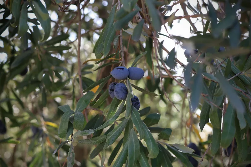
Edremit Olives
Edremit olives are grown around the Gulf of Edremit in Balıkesir province, western Türkiye, where a Mediterranean climate and a long olive-growing tradition produce both table olives and olive oil.
Explore →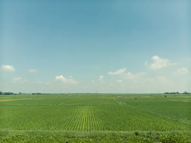
Karacadağ Rice
Karacadağ rice is a rice grown in the Karacadağ area of Şanlıurfa province in southeastern Türkiye, where a hot regional climate and irrigation water drawn from the Karacadağ massif shape its distinctive taste and firm grain.
Explore →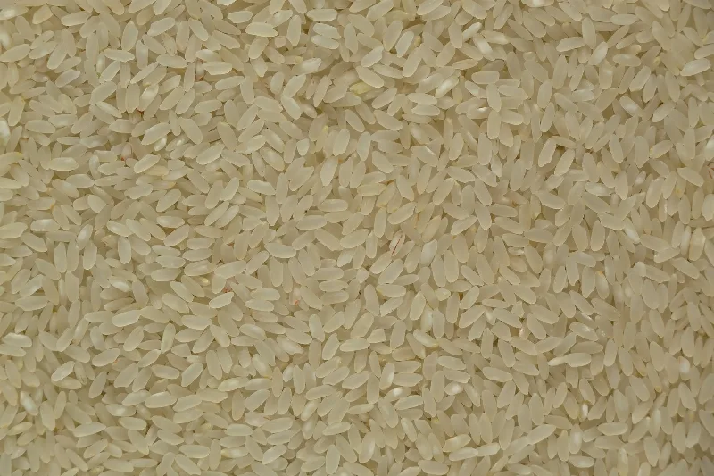
Osmancık Rice
Osmancık rice is a regional rice variety from the Osmancık district of Çorum in northern Türkiye, where the Kızılırmak River supports local paddies. It is known for its aroma and taste, especially in pilafs.
Explore →Related content
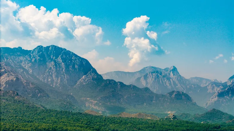
Antalya
Antalya offers a unique blend of vibrant history and stunning natural beauty, making it a must-visit destination in Türkiye.
Patara
Patara is a long, wide sandy beach on Türkiye's Lycian coast, backed by dunes and a shallow wetland, where the open Mediterranean meets a protected coastal landscape.
Patara
Patara is an ancient Lycian city in Antalya Province, Türkiye, that served as the meeting place of the Lycian League and preserves a Roman theatre, triumphal arch, bath complexes and an assembly hall beside a long sandy beach.
Patara Beach
A long sandy Mediterranean beach near the ancient city of Patara, backed by dunes and open coastal landscapes.
Exploring the Pristine Beaches of Antalya
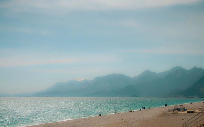
Antalya's beaches offer a serene Mediterranean escape with their clear waters and golden sands. Discover the unique charm of these coastal treasures.
5-Day Antalya to Fethiye Coastal Route
A five-day driving itinerary along Turkey's Mediterranean shore, linking Antalya, Phaselis, Olympos, Demre, Kekova, Kaş, Kalkan, Patara and Fethiye. The route is linear, coastal for most of its length, with short inland detours to Lycian ruins.