
Babakale
Babakale is a village in Ayvacık, Çanakkale, standing at Cape Baba, the westernmost tip of the Anatolian mainland, where an 18th-century castle overlooks a small fishing harbour and olive-covered hills.
Babakale is a village in the Ayvacık district of Çanakkale Province, on the Aegean coast of north-western Turkey. It occupies the tip of Cape Baba (Bababurnu), the westernmost point of the Anatolian mainland, and its castle, sheltered harbour and compact group of stone houses are the last built features before the land runs out. The Greek island of Lesbos lies across the water to the west, and from the upper streets of the village the sea is visible in almost every direction.
Where Cape Baba Sits
The village belongs to the Troad (Troas), the historical name for the Biga Peninsula that forms the north-western corner of Anatolia. The cape itself is a rocky headland pushing west into the Aegean, and Babakale is built on the slope that rises immediately behind and above it, so the settlement faces the open sea rather than the sheltered interior. Inland, the land turns into low hills covered with olive groves that run back towards Ayvacık, the district centre. In antiquity the headland was known as Lectum, and it has been treated as the western edge of Asia since ancient times.
Because the cape juts out with nothing to break the fetch of the Aegean, wind is a fundamental part of the place. Northerly winds are frequent and can be strong, the sea off the point is often rough, and the vegetation on the exposed side is low and wind-shaped. Anyone who spends a day in Babakale notices the wind before almost anything else.
The Castle Above the Sea
Babakale Castle was built in the 1720s, in the reign of Sultan Ahmed III, on the orders of the Grand Vizier Damat İbrahim Pasha, and it was completed around 1729. Its purpose was defensive: to guard this stretch of coast and the sea lanes against piracy at a time when the Ottoman navy and merchant shipping needed protection along the Aegean shore. It is one of the later Ottoman fortresses built in western Anatolia, and it takes its name from the cape.
The fortress is constructed in local stone and forms a walled enclosure with corner towers set on the rocky ground at the tip of the headland. A single gateway, marked by a building inscription, opens into the interior. Within the walls a small mosque stands as part of the same building programme, and the courtyard gives an uninterrupted view over the cape, the harbour below and the open sea towards Lesbos. Sections of the walls have been repaired over the years, and the castle is the focal point of any visit to the village — it is what most people come to Babakale to see.
A Small Harbour and Narrow Village Streets
Below the castle, on the sheltered side of the headland, a small harbour holds the boats of the local fishing fleet. It is a working harbour rather than a marina, and the comings and goings of small boats give the village much of its daily rhythm. The shore around it is rocky, and the water at the point itself is exposed to the prevailing winds.
The village behind the harbour is a tight arrangement of stone houses along lanes that climb the slope in short flights. Many of the traditional buildings are two-storey, built of local stone with timber details and the wooden balconies typical of the region; some have been restored, others stand empty, which gives the settlement an unpolished, lived-in character rather than a museum-like one. Walking through Babakale means moving up and down: the streets are steep in places, surfaced in stone, and the view changes at every turn as the sea reappears between the rooftops.
Olive Country and the Landscape Behind the Village
The Biga Peninsula around Babakale is olive country. Groves cover the slopes between the village and the interior, and olive oil production has long been part of the local economy, with the autumn harvest a visible feature of the calendar in this part of Çanakkale. The contrast between the bare, windswept cape and the cultivated hills immediately behind it is one of the things that defines the settlement: a harsh maritime edge on one side, an agricultural landscape on the other. Away from the village, the coast is mostly rocky and low, with occasional coves rather than long sandy beaches.
How to Reach Babakale
The village is reached by road. The usual approach from the north is along the coastal route from Çanakkale through Küçükkuyu and the Assos area, while from the east the road comes from Ayvacık, the district centre, winding through olive groves and small settlements. Because public transport in this part of the peninsula is limited, most visitors arrive by car; Ayvacık is the main hub for buses, and the final stretch of the journey to the village is made by road. The drive itself, with the sea on one side and groves on the other, is part of the experience, and the road ends at the cape rather than passing through it.
When to Visit and What to Know
Spring, from roughly April to June, and early autumn, in September and October, are the most comfortable periods. Temperatures are moderate, the landscape is green in spring, and the light is clear. High summer brings strong sun and continued wind, while winter can be wet and blustery, with the cape fully exposed to the weather. The olive harvest in late autumn adds another dimension for anyone interested in the region's agriculture.
A few practical points are worth knowing in advance. The lanes of Babakale are steep and uneven, so sturdy footwear helps, and the climb from the harbour to the castle is a real one. Facilities in the village are limited, so it is sensible to arrive prepared rather than assuming services will be available. Wind is present year-round, and a windproof layer is useful even on warm days. The sea around the cape is exposed and often rough, so swimming is better judged by conditions than by season.
Places Nearby in the Same Part of the Coast
- Assos (Behramkale) – the ancient city on the coast east of Babakale, with the Temple of Athena on its acropolis and an old harbour below the village.
- Küçükkuyu – a coastal town further east, at the foot of the Kaz Dağı (Mount Ida) road, marking the transition towards the Edremit Gulf.
- Gülpınar – a village inland to the south-east with the remains of the Temple of Apollo Smintheus, one of the principal ancient sanctuaries of the Troad.
- Ayvacık – the district centre, the main transport hub for the villages of this coastline and the practical starting point for reaching Babakale.
- Kadırga Bay – a bay on the same stretch of coast near Behramkale, known for its beach and clearer, calmer water than the exposed cape.
Taken together, these places form a coherent day or two of travel around the western end of the Biga Peninsula, with Babakale as the point where the road, the coastline and the continent itself come to an end.
From the land
Find All →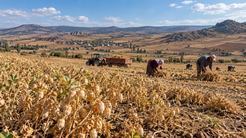
Çorum Chickpeas
Çorum chickpeas are the chickpeas grown across the dry inland plateaus of Çorum province in northern Türkiye, where a transitional continental climate suits the crop and where the same local harvest feeds the region's well-known leblebi tradition.
Explore →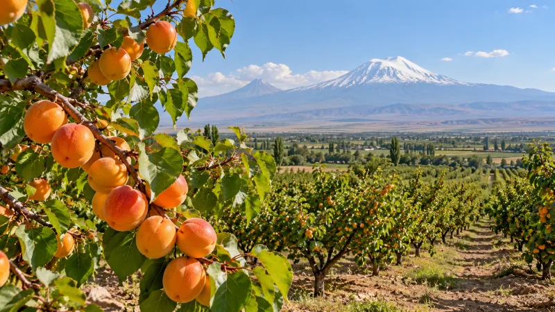
Iğdır Apricots
Iğdır apricots are the sweet, aromatic apricots grown on the warm Aras River plain in eastern Türkiye, where hot dry summers and cold winters shape fruit that is eaten fresh and dried in large quantities.
Explore →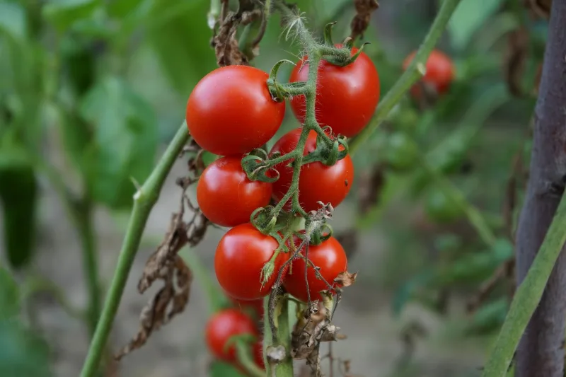
Antalya Tomatoes
Antalya tomatoes are the greenhouse and field-grown tomatoes of Türkiye's Mediterranean coast, produced in a province whose mild winters and long sunny summers allow harvesting in almost every month of the year.
Explore →Related content
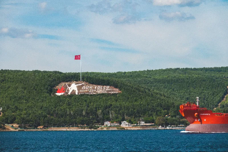
Çanakkale
Çanakkale is a northwestern Turkish city on the Asian shore of the Dardanelles, the strait separating Europe from Asia. It is the administrative centre of a province that includes the Gallipoli battlefields and the archaeological site of Troy.
Küçükkuyu
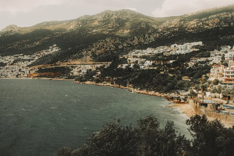
Küçükkuyu is a coastal town in Çanakkale Province, Turkey, at the foot of Kazdağı and surrounded by olive groves. Known for its seafood and proximity to ancient Assos, it offers a mix of Aegean coastline and mountain scenery.
Assos
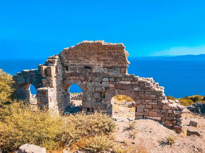
Assos is an ancient city and hilltop village in Çanakkale province, Türkiye, known for its Temple of Athena and for the years the philosopher Aristotle spent here. The modern settlement, Behramkale, sits above the ruins and an old harbour on the Aegean coast facing Lesbos.
Assos
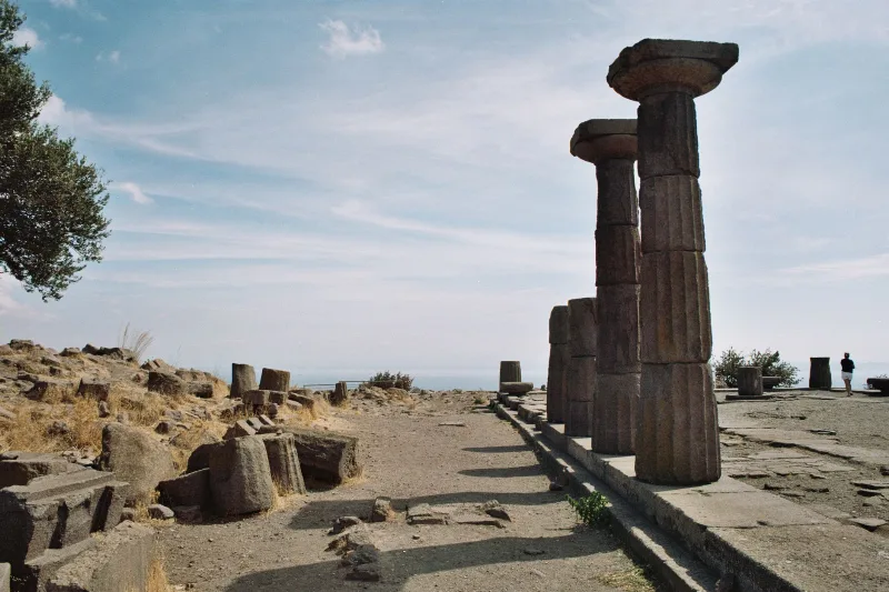
The ancient Greek city of Assos in Çanakkale, Türkiye, is defined by its sixth-century BC Temple of Athena, kilometres of surviving walls and a small Aegean harbour. Here is how the site is arranged and what a visit involves.
Çanakkale and the Dardanelles Strait
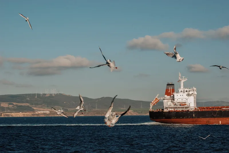
A short guide to Çanakkale and the Dardanelles Strait, covering the geography, ancient sites, island villages and local food of northwestern Türkiye.
3-Day Assos and Troy Route
A three-day route through Turkey's Troad region, starting in Çanakkale and finishing at the clifftop village and ancient harbour of Assos, with Troy and the lesser-known classical ruins in between.