
Assos
Assos is an ancient city and hilltop village in Çanakkale province, Türkiye, known for its Temple of Athena and for the years the philosopher Aristotle spent here. The modern settlement, Behramkale, sits above the ruins and an old harbour on the Aegean coast facing Lesbos.
Assos is an ancient city and a small hilltop settlement on the Aegean coast of Çanakkale province in northwestern Türkiye. The modern village standing over the ruins is called Behramkale, and it lies in the Ayvacık district, on a stretch of coast that faces the Greek island of Lesbos. What makes Assos distinctive is the way an ancient acropolis, a traditional stone village and a tiny historic harbour are layered on a single steep hill of volcanic rock, with the philosopher Aristotle having lived and taught here in the fourth century BCE.
Where Assos Sits on the Aegean Coast
Assos lies in the southern part of Çanakkale province, in the Ayvacık district, on the western coast of Anatolia. The settlement occupies a volcanic hill that rises directly from the sea, reaching a height of roughly 230 metres above the water. To the north-west the coast opens onto the Gulf of Edremit, and to the west the channel separates the mainland from Lesbos. The hill explains almost everything here: the acropolis occupies the flat summit, the village clings to the slopes just below it, and the ancient harbour sits at the foot of the rock, reachable only by a steep road that drops down to the shoreline.
The Hilltop Acropolis and the Temple of Athena
At the top of the hill stand the ruins of the Temple of Athena, built in the Doric order in the sixth century BCE and counted among the earliest Doric temples in Anatolia. Parts of its columns have been re-erected, and the platform they stand on looks straight out over the sea towards Lesbos. The temple was dedicated to Athena, the city's protective goddess. The acropolis was enclosed by long walls that ran down the hillside towards the harbour, and stretches of that fortification can still be traced among the stones and scrub. Because the summit is open and exposed, the view across the water and along the coast is one of the practical reasons people climb up here.
Aristotle and the Philosophical Circle of Assos
Between about 348 and 345 BCE, Aristotle lived in Assos, invited by Hermias, who governed the city and the surrounding region. Here Aristotle is said to have gathered a circle of students and colleagues and to have taught philosophy, and it was also in Assos that he married Pythias, a member of Hermias's household. This period gave the small city a place in the history of ancient thought that is out of proportion to its size. Visitors who know the story often come specifically to see the place where that teaching is believed to have taken place, though the surviving structures are ruins rather than a preserved school building.
The Ancient Harbour Below the Hill
At the bottom of the hill, where the slope meets the sea, is the ancient harbour. It is a small sheltered inlet that has served the settlement for millennia and was one of the reasons the city grew where it did. The apostle Paul is recorded as having passed through Assos on his journey along this coast in the first century CE, travelling overland and joining a ship here. Today the harbour forms the lower half of the settlement, physically separated from the village on the hill by the steep, winding road. The contrast between the two levels, quiet ruins and stone houses above and the water below, shapes the whole experience of visiting.
Behramkale: The Village Character
The village of Behramkale, also called Assos, has grown around and inside the ancient site. It is a small, compact settlement of stone houses, many built from the same grey andesite as the ruins, with some carrying wooden balconies and shaded courtyards. Narrow lanes run between the buildings, and level ground is scarce, so houses step up and down with the slope. Because the village is small and the surrounding land is agricultural, the place has the feel of a working rural settlement rather than a purpose-built resort. Olive groves cover much of the ground around it, and olive oil production has long been part of the local economy.
Architecture and Standing Landmarks
Among the structures in Behramkale is a fourteenth-century mosque associated with the Ottoman ruler Murad I, and an old stone bridge with a single arch that spans a small stream near the village. The mixture of ancient masonry, later Ottoman building and more recent village housing gives the settlement its layered character. The houses typically have thick stone walls, small windows and flat or gently pitched roofs, suited to hot summers and mild, wet winters. The result is an architecture shaped by local stone, the local climate and the constraints of building on a steep hill.
The Surrounding Landscape and Nature
The land around Assos is a mix of olive groves, low scrub, pine and rocky hillside dropping to a clear Aegean sea. The coast here is indented, with small bays and beaches strung along the road that runs south from the village. To the east, inland, the terrain rises towards the forested slopes of Kaz Dağı, also known as Mount Ida, a mountain of mythological importance with protected natural areas. The wider region forms part of the historical Troad, the landscape around ancient Troy. The combination of sea, mountain and olive-covered hills gives this corner of Çanakkale its particular geography.
What You Can See While Walking Around
A visit usually begins at the top, where the temple, the walls and the acropolis paths are found, then continues down into the village lanes, and finally descends to the harbour. Along the way you pass the mosque, the old bridge, the stone houses and the long sections of ancient fortification that run between the upper and lower parts of the settlement. The paths through the ruins are uneven and rocky, and the drop from the village down to the water is genuinely steep, so the walk is rewarding but requires time and steady footing. Much of the ancient city's outline, its walls, gates and general shape, is visible by eye rather than behind barriers.
How to Reach Assos
Assos is reached from the north via Çanakkale, following the coastal road south through the Ayvacık district, or from the south and east via the Gulf of Edremit and the town of Ayvalık. The main highway along this coast passes near the turn-off for Behramkale, from which an uphill road leads to the village and the ancient site. The nearest larger towns are Ayvacık and Küçükkuyu, both on the route towards the site. Travel by private vehicle is the most straightforward option, since the village sits off the main road on a hill, and public transport to the site is limited. The airports serving the area lie on the Çanakkale and Balıkesir sides of the region.
When to Visit
Spring and autumn are generally the most comfortable seasons. In April, May, September and October temperatures are moderate, the hillside is green or turning, and walking between the acropolis and the harbour is easier. Summer brings strong heat and little shade on the exposed summit, which can make the climb and the ruins uncomfortable in the middle of the day. Winters are mild but wetter, with more cloud and rain, though the landscape stays green and the site is far quieter.
Practical Points Before You Go
Wear shoes suitable for uneven stone and dirt paths, since the ground across the ancient site and the village lanes is irregular and often steep. Carry water, particularly outside the cooler months, because facilities on the hill are limited and the climb is exposed. The distance between the acropolis at the top and the harbour at the bottom is short in map terms but demanding on foot because of the gradient, so allow time for the return climb if you plan to walk back up. The village is small, and the site and settlement can realistically be covered in a single unhurried day. Keep in mind that people live in Behramkale year-round and that parts of the area are working agricultural land.
Nearby Places Worth Knowing
Several settlements and natural areas sit within easy reach of Assos. Babakale, further west, marks the westernmost point of the Anatolian mainland and has its own small historic character. The villages of Adatepe and Yeşilyurt, inland towards Kaz Dağı, are known for stone architecture and mountain scenery. Kadırga Bay, south of Assos, is a coastal spot on the same stretch of shore. To the north, the wider Çanakkale region includes the site of ancient Troy and the ruins of Alexandria Troas, while the Gulf of Edremit and Ayvalık lie to the south and east. Together these places form a coherent area for anyone exploring the Aegean coast of Çanakkale.
From the land
Find All →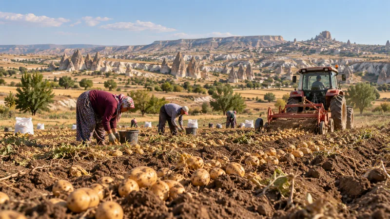
Nevşehir Potatoes
Nevşehir potatoes are grown on the volcanic plateau of Cappadocia in central Türkiye, where tuff-derived soils, cold winters and warm dry summers shape a crop that is harvested in late summer and kept in the region's cool rock-cut storage chambers.
Explore →
Elazığ Apricots
Elazığ apricots are a regional apricot product from eastern Türkiye, valued for their juicy, flavorful fruit. The province’s climate and fertile soils support both fresh use and traditional drying.
Explore →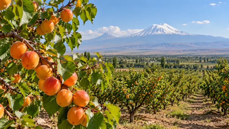
Iğdır Apricots
Iğdır apricots are the sweet, aromatic apricots grown on the warm Aras River plain in eastern Türkiye, where hot dry summers and cold winters shape fruit that is eaten fresh and dried in large quantities.
Explore →Related content
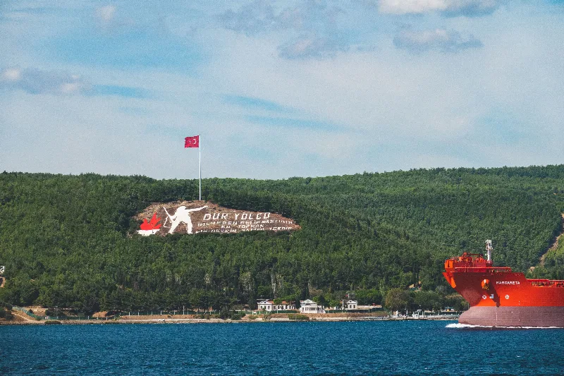
Çanakkale
Çanakkale is a northwestern Turkish city on the Asian shore of the Dardanelles, the strait separating Europe from Asia. It is the administrative centre of a province that includes the Gallipoli battlefields and the archaeological site of Troy.
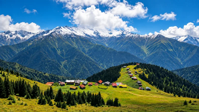
Nature
Lakes, forests, rivers, canyons, mountains, wetlands and national parks across Türkiye.
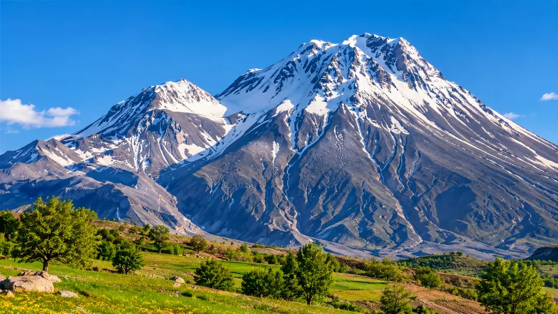
Mount Ida
Mount Ida, called Kaz Dağı in Turkish, is a forested massif in Balıkesir Province on the Biga Peninsula, rising from the Gulf of Edremit coast to a summit of about 1,774 metres and known for its endemic fir forest.
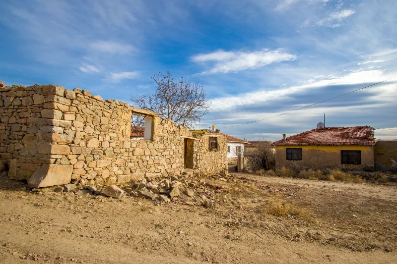
Bademli, Çanakkale: An Olive-Farming Village on the Slopes of Mount Ida
Bademli is a hillside village in the Ayvacık district of Çanakkale Province, set on the slopes of Kazdağı (Mount Ida) and known for its traditional stone houses and long tradition of olive oil production.
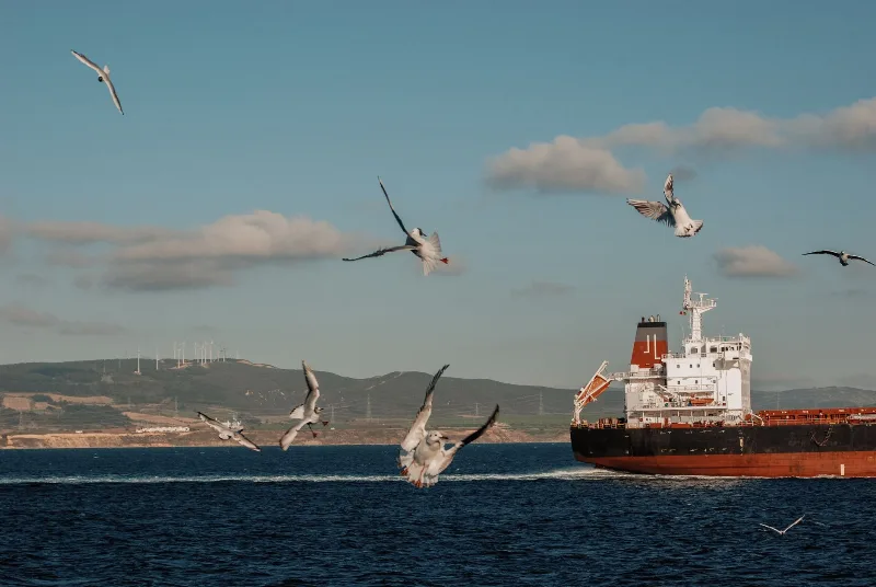
Çanakkale and the Dardanelles Strait
A short guide to Çanakkale and the Dardanelles Strait, covering the geography, ancient sites, island villages and local food of northwestern Türkiye.
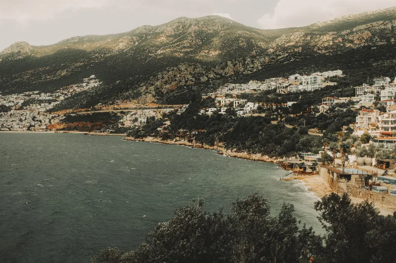
Küçükkuyu
Küçükkuyu is a coastal town in Çanakkale Province, Turkey, at the foot of Kazdağı and surrounded by olive groves. Known for its seafood and proximity to ancient Assos, it offers a mix of Aegean coastline and mountain scenery.