
Saklıkent Canyon
Saklıkent Canyon is a deep limestone gorge in Muğla Province, southwestern Türkiye, cut by the Karaçay stream and known for its towering walls and persistently icy water. It has been protected as a national park since 1996.
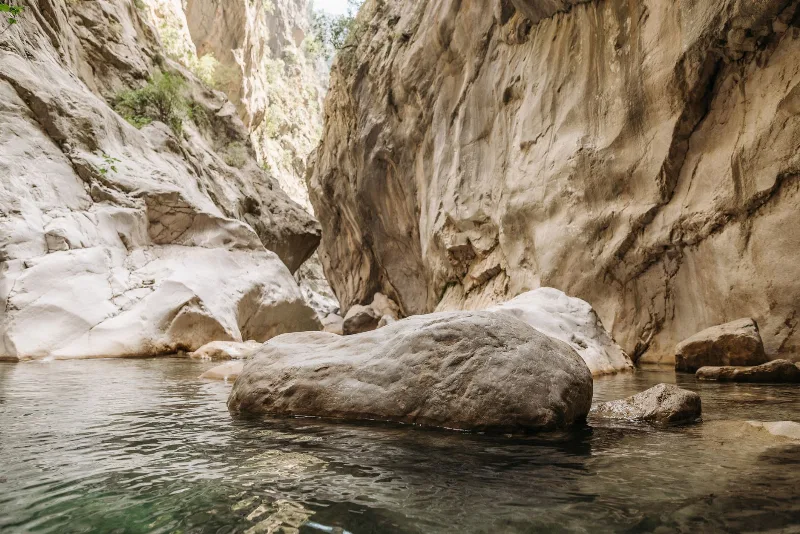
Saklıkent Canyon (Saklıkent Kanyonu) is a deep limestone gorge in southwestern Türkiye, cut through the western Taurus Mountains within Muğla Province, in the Seydikemer district close to the Antalya provincial border. It is a river canyon rather than a dry valley: a stream known locally as the Karaçay runs along its floor, and in its narrowest stretches the walls close to only a few metres apart. The canyon is roughly 18 kilometres long, and its cliffs rise in places to about 200 metres. Its most distinctive characteristic is the volume of extremely cold water that continues to flow through it even in midsummer, fed by snowmelt and springs in the surrounding highlands. The gorge and its immediate surroundings have been protected as a national park since 1996.
Where the Canyon Sits
The canyon lies inland from the turquoise coast, roughly 45 kilometres from Fethiye and around 16 kilometres from the town of Seydikemer, formerly known as Kemer, on the Fethiye–Antalya road corridor. The Karaçay drains northward and joins the larger Eşen River, which forms part of the boundary between Muğla and Antalya provinces. In practical terms, the canyon occupies a steep, forested valley in the western Taurus, an area of uplifted limestone where water has been working its way downward for a very long time. Because the gorge runs roughly north to south and is enclosed by high rock, the interior feels noticeably cooler and more shaded than the coast a short drive away.
How the Gorge Was Formed
The canyon is a textbook example of fluvial erosion in soluble rock. Limestone dominates the regional geology, and over long periods the Karaçay has cut downward through faults and fractures while the land around it was slowly uplifted. The result is a narrow, deep trench with near-vertical walls and a floor that is almost entirely water and polished stone. In places the rock is smoothed into rounded forms by the constant flow; elsewhere it breaks into blocky ledges and overhangs. The canyon narrows and widens repeatedly along its course, and some sections are so confined that daylight reaches the streambed only indirectly.
Water and Rock Inside the Canyon
The water is the defining experience. It emerges cold from springs and from meltwater high in the Taurus, and its temperature stays low even when coastal temperatures climb well above 30°C. The streambed itself acts as the route for anyone entering the inner section, so visitors are usually walking directly in shallow, fast-moving water over smooth, sometimes slippery rock. Depths vary with the season and with the shape of the channel. A raised wooden walkway covers part of the lower, more accessible section near the canyon mouth, allowing people to move above the stream before the walkway ends and the water takes over. There is no dry trail through the narrowest parts.
Vegetation and Microclimate
The slopes above the gorge carry typical eastern Mediterranean vegetation, dominated by Turkish pine and associated maquis scrub, with taller trees and moisture-loving plants clustered along the stream where humidity is higher and shade is deeper. The contrast between the sun-exposed upper slopes and the cool, damp canyon floor is one of the most noticeable features of the site. The shaded walls support a distinct microclimate, and the enclosed floor stays humid even during dry spells. Wildlife in the wider valley is characteristic of the region's forests and rocky terrain, with the cliffs and wooded slopes providing cover for Mediterranean mammals and birds, although sightings are never guaranteed.
How the Landscape Changes Through the Year
The canyon behaves differently in each season, and the state of the water is the key variable. In spring, snowmelt and rain raise the flow, the stream runs higher and faster, and entering the innermost sections can become difficult or unsafe. Summer brings the lowest water of the year and the clearest conditions for walking the streambed, yet the water remains strikingly cold. Autumn usually offers moderate flow and more comfortable air temperatures. Winter is the wettest period; heavy rain in the catchment can quickly swell the stream, and canyon floors of this type are vulnerable to sudden rises in water level, which is why conditions should be checked before entering during unsettled weather.
Walking Conditions and Practical Points
- The canyon floor is wet rock and flowing water, so grip and balance matter more than speed.
- Footwear that can get soaked and still hold the rock is far more useful than ordinary walking shoes.
- The water is genuinely cold, which limits how long many visitors comfortably spend inside.
- Water levels can change fast after rain; a canyon that is easy in the morning can be risky later.
- Access into the deepest, narrowest section depends entirely on the current flow, not on a fixed route.
Reaching the Area and Nearby Natural Places
The canyon is normally approached by road from the Fethiye area or from Seydikemer, following the Karaçay valley inland from the main coastal route. Because it sits between the coast and the mountains, it is often combined with other stops in the same landscape. The Eşen River valley runs nearby, and the long sandy sweep and dunes of Patara lie to the south along the coast. Further west, the Ölüdeniz lagoon and the steep, forested Butterfly Valley represent a different kind of coastal geology. The ancient site of Tlos stands close to the access road into the canyon, marking how long this valley has been used as a route between the interior and the sea. Together these places show the same regional pattern: mountains meeting the coast through narrow, water-cut valleys.
Beaches & bays
See the coast →
Related content
Saklıkent
Saklıkent Canyon is a dramatic gorge in Muğla Province, southwestern Turkey, known for its narrow passages and icy water. Visitors can wade through the stream and explore the surrounding national park, with the ancient city of Tlos nearby.
Muğla
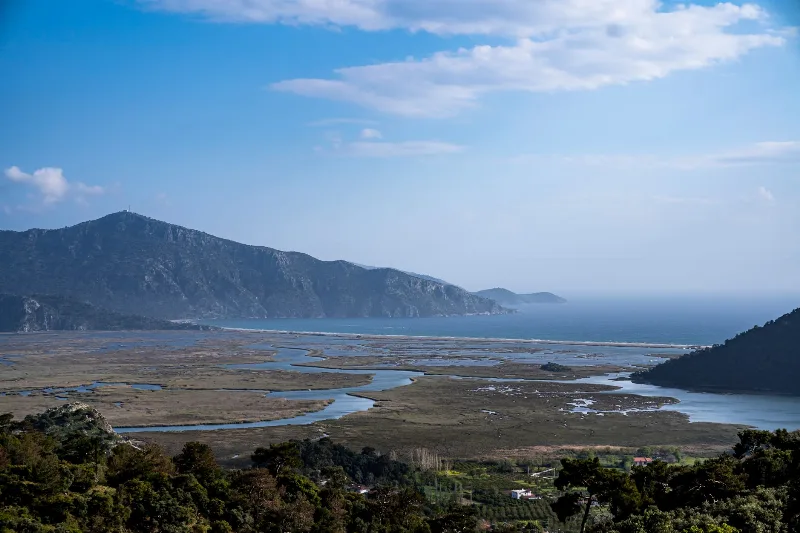
Muğla is a captivating province in southwestern Türkiye, renowned for its stunning Aegean coastline and rich cultural heritage.
Antalya
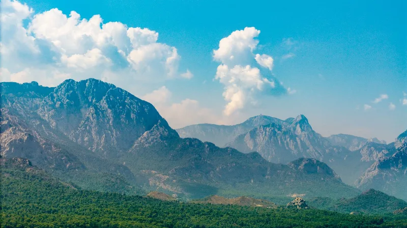
Antalya offers a unique blend of vibrant history and stunning natural beauty, making it a must-visit destination in Türkiye.
3-Day Fethiye and Ölüdeniz Route
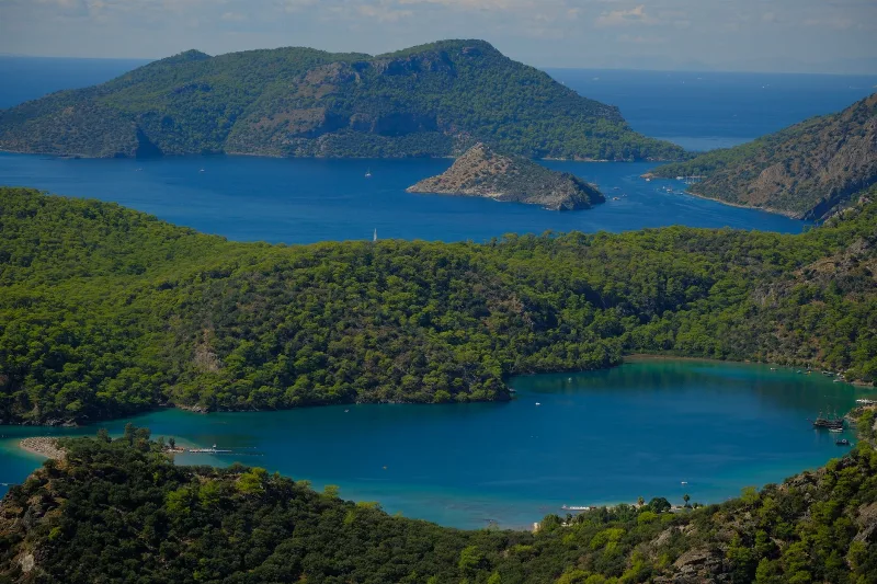
A three-day loop based in Fethiye that combines the Lycian rock tombs and old harbour quarter with the Blue Lagoon at Ölüdeniz, the abandoned village of Kayaköy and the inland gorge at Saklıkent.
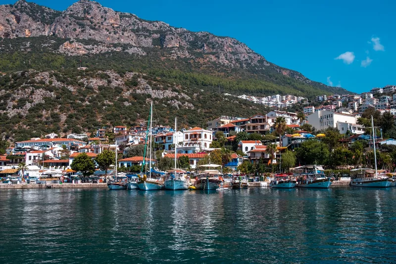
5-Day Antalya to Fethiye Coastal Route
A five-day driving itinerary along Turkey's Mediterranean shore, linking Antalya, Phaselis, Olympos, Demre, Kekova, Kaş, Kalkan, Patara and Fethiye. The route is linear, coastal for most of its length, with short inland detours to Lycian ruins.
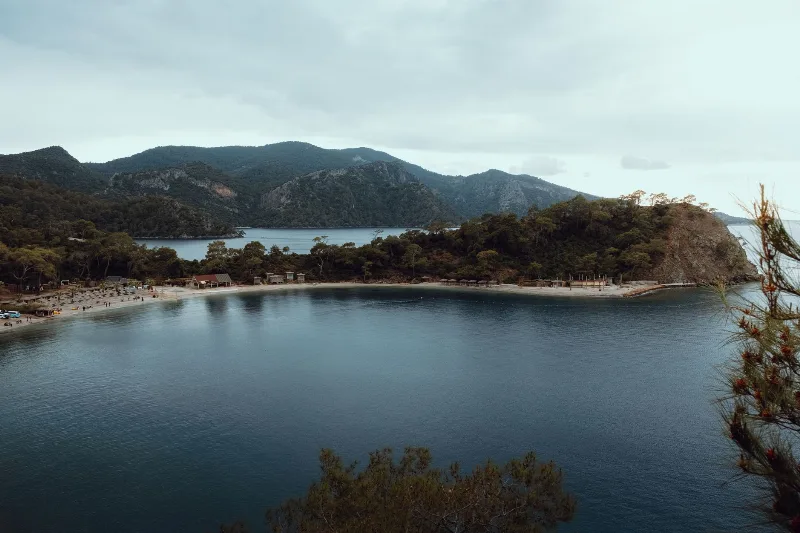
Fethiye's Scenic Beauty
Fethiye blends turquoise Mediterranean bays with pine-covered mountains and Lycian history. Its lagoons, coves and gorges make the southwestern coast of Türkiye a rewarding place to explore.