
Lake Meke
Lake Meke is a volcanic crater lake in Konya Province, Turkey, known for its unique double crater structure with a small island. It is a protected natural monument that offers a glimpse into the region's volcanic past.
Lake Meke, also known as Meke Gölü, is a volcanic crater lake located in the Karapınar district of Konya Province in central Turkey. It is a maar lake formed by volcanic activity, and it is particularly known for its unique double crater structure: a smaller volcanic cone rises from the water to form an island in the middle of the lake.
Geographical Setting and Formation
Lake Meke lies in the Karapınar Volcanic Field, an area of central Anatolia characterized by volcanic cones, maars, and lava flows. The lake itself is a maar, a broad, shallow crater created by a phreatic eruption—an explosion caused by the interaction of magma and groundwater. The outer crater has a diameter of approximately 800 meters, and its rim rises above the surrounding steppe. Inside the crater, a second volcanic cone, known as a scoria cone, formed after the initial eruption. This inner cone is about 50 meters high and now appears as an island in the middle of the lake. The combination of a crater lake within a crater is rare, and it gives Lake Meke its distinctive appearance, often likened to a naval battle scene, hence the nickname "Naval Battle."
The Island and Its Crater
The island in Lake Meke is itself a small volcanic cone with a crater at its top. When the lake has water, the island's reflection can be seen on the surface, creating a striking visual. The island is not accessible to visitors, as there are no boats or paths leading to it. The water of the lake is shallow and brackish, with a high mineral content. The depth and extent of the water vary significantly depending on rainfall and water extraction in the region.
Landscape and Surroundings
The surrounding landscape is typical of the Central Anatolian steppe: flat, arid plains with sparse vegetation. The crater rim offers panoramic views of the surrounding plains, which are largely used for agriculture. The vegetation around the lake consists of steppe grasses, and some reeds grow along the shoreline when water is present. The area is not forested, and trees are rare. The lake and its immediate surroundings attract a variety of birds, especially during migration periods. Waterfowl, including ducks and waders, may be seen when the lake holds water.
Seasonal Changes and Water Levels
Lake Meke is highly sensitive to changes in water balance. In recent decades, the lake has experienced significant fluctuations, and it has dried up completely in some years due to drought and the overuse of groundwater for irrigation. When dry, the crater floor becomes a salt flat, and the island remains visible. In wetter periods, the lake fills with water, but it is never very deep. The climate in the region is continental: summers are hot and dry, with temperatures often exceeding 30°C, while winters are cold, with occasional snow. Spring and autumn are mild, making them the most comfortable times to visit.
Visiting the Lake
Lake Meke is located about 5 kilometers from the town of Karapınar, which is approximately 100 kilometers from the city of Konya. The lake can be reached by car via a paved road that leads to the crater rim. There is no public transportation directly to the lake, so a private vehicle or taxi from Karapınar is necessary. From the rim, visitors can walk along the edge to view the lake and the island from different angles. The terrain is uneven but not difficult. There are no facilities at the lake, such as restrooms or cafes, so visitors should bring water, food, and sun protection. The area is exposed, with little shade.
Conservation and Environmental Status
Lake Meke is designated as a natural monument by the Turkish government, recognizing its geological and scenic value. This protection aims to preserve the crater and its unique features. However, the drying up of the lake due to water extraction and climate change poses a significant threat to its ecosystem and visual appeal. Conservation efforts focus on raising awareness and managing water use in the region.
Nearby Natural Attractions
Other volcanic features in the Karapınar area include Acıgöl, another crater lake located nearby. The region is part of the larger Karapınar Volcanic Field, which contains several maars and volcanic cones. These geological formations offer additional opportunities to explore the volcanic history of central Anatolia. The town of Karapınar itself serves as a base for visiting these sites.
Beaches & bays
See the coast →
Related content
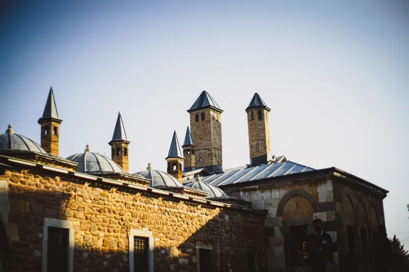
Konya
Konya is a city known for its spiritual essence and cultural heritage, home to the Mevlana Museum and the whirling dervishes.
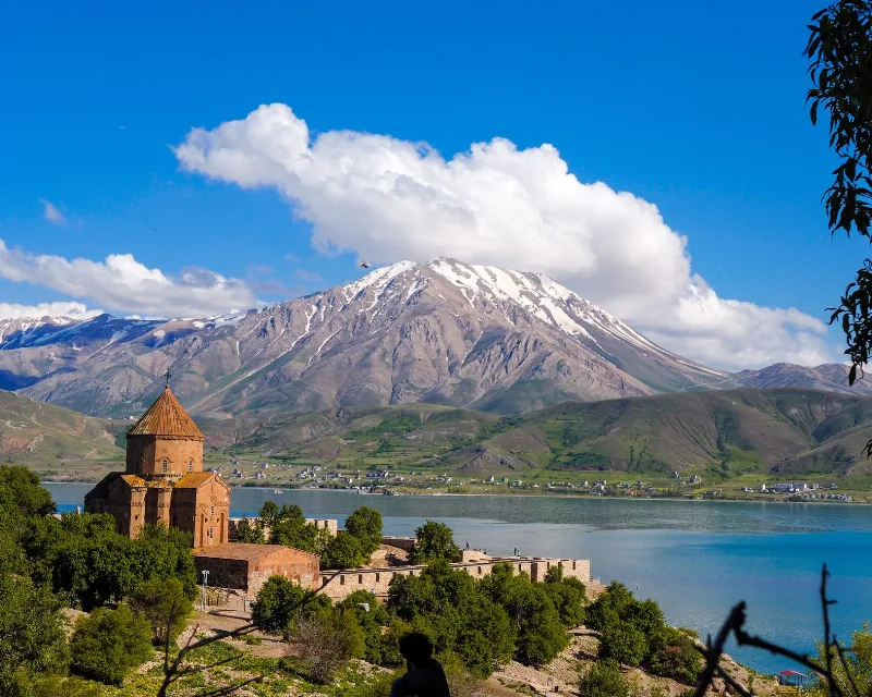
Lakes and Natural Beauty in Türkiye
A journey through the lakes of Türkiye, from the wide soda waters of Lake Van to forest pools in Bolu, salt flats on the Central Anatolian plateau and reed beds full of birds.
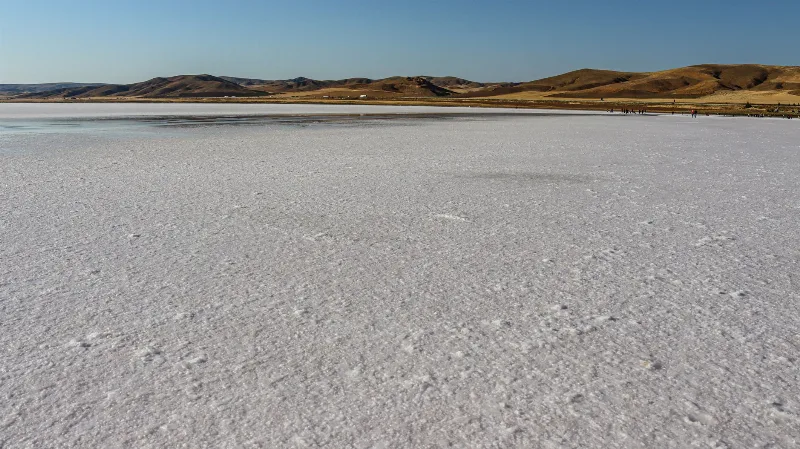
Lake Tuz
Lake Tuz is a hypersaline lake in Central Anatolia and the second-largest lake in Turkey, known for its salt crust, its salt industry and its flamingo colonies.
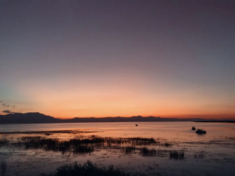
Lake Beyşehir
Lake Beyşehir is the largest freshwater lake in Turkey, set in a tectonic basin between Konya and Isparta and framed by the Sultan Mountains. Its scale, fresh water and protected status make it one of the defining landscapes of the Lake District.

Konya Carrots
Konya carrots are grown on the irrigated plains of central Türkiye, where deep alluvial soils and a continental climate produce firm, sweet and crunchy roots.
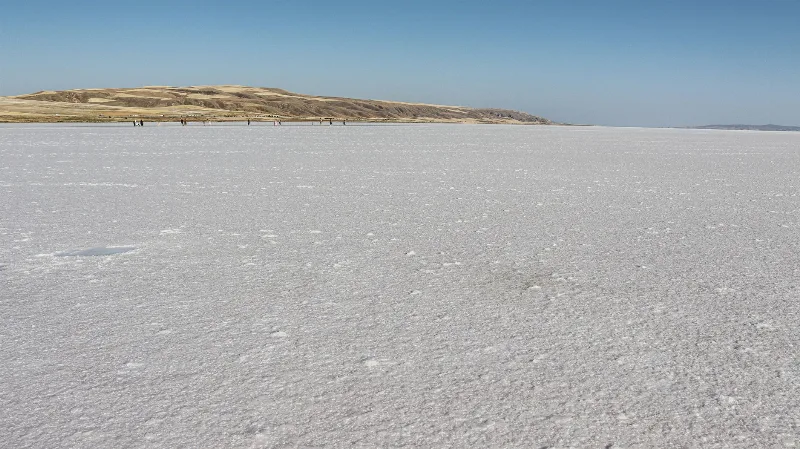
Lake Tuz
Lake Tuz (Tuz Gölü) is a hypersaline salt lake spread across Ankara, Konya and Aksaray in Central Anatolia, and one of the largest salt lakes in the world. Its shallow water, seasonal salt crust and flamingo colonies give it a character unlike any other lake in Türkiye.