
Lake Karagöl
Lake Karagöl is a small glacial lake in Artvin Province, held in an ice-carved basin in the Karçal Mountains. Its forested slopes, alpine meadows and long snow season give it a character quite different from Türkiye's larger Anatolian lakes.
Lake Karagöl is a glacial lake in Artvin Province, in the north-eastern corner of Türkiye, lying in a hollow of the Karçal Mountains above the Şavşat valley. It is a small high-altitude lake whose basin was carved by ice during past glacial periods, and it forms part of Karagöl-Sahara National Park. Unlike the broad tectonic lakes of central and eastern Anatolia, Karagöl is compact and enclosed, surrounded by forested slopes and open alpine ground. The lake is not large; it is the mountain setting and the glacial origin of its basin that define it.
Location and Geographical Setting
Artvin Province occupies the eastern Black Sea section of Türkiye, where the Lesser Caucasus runs close to the coast and the land rises steeply from sea level to high ridges within a short distance. The Karçal Mountains form one of the most prominent massifs in this system, and the Şavşat district sits on their southern and western flanks. Lake Karagöl lies within this mountain group, in terrain that is high enough to hold snow for a large part of the year and cool enough in summer for alpine vegetation to develop above the tree line. The lake occupies the floor of a shallow basin, with slopes rising on several sides and forest closing in around much of the shore.
The Glacial Signature of the Landscape
The lake's shape and position are the result of glacial processes. Ice that accumulated on the higher ground of the Karçal Mountains moved downslope and scoured hollows out of the bedrock, leaving basins that later filled with meltwater and rain. Ridges and mounds of unsorted rock and sediment, known as moraine, remain around such basins, and they give the ground near Karagöl its uneven, hummocky character. This is why the lake is classified as glacial rather than as a lake formed by tectonic movement, river action or landsliding. The surrounding slopes are steep and rocky in places, alternating with gentler ground where soil has accumulated.
Forest, Alpine Vegetation and Wildlife
Below the lake, the slopes carry dense coniferous forest dominated by Oriental spruce, mixed with fir and pine and, at lower elevations, broad-leaved species such as beech. As altitude increases, the trees thin and eventually give way to alpine meadows and low shrubs, which green quickly after the snow melts and flower in midsummer. This transition from forest to open high ground is one of the clearest features of the area around Karagöl and is typical of the eastern Black Sea mountains. The wider Karçal range lies in a region that supports large mammals, including brown bear, along with a range of forest birds; sightings are never guaranteed, and the animals are shy and thinly spread.
How the Lake Changes Through the Year
Winter is long and severe at this elevation. Snow begins to accumulate in late autumn and can lie for months, and the lake surface itself may be frozen and snow-covered during the coldest period. Access routes into the high ground can be interrupted by snow, and conditions on the ground are difficult. Spring arrives late; snowmelt feeds the lake and the surrounding ground becomes wet and soft, with patches of snow persisting on shaded slopes well into the season. Summer is short, mild and frequently cloudy, with rain and mist common in the Black Sea mountains; the meadows are at their greenest and most flower-rich in this period. Autumn brings clearer, cooler days and the yellowing of deciduous trees on the lower slopes before the first heavy snow returns.
Terrain, Water and Walking Conditions
The ground around Lake Karagöl is uneven and often damp, with roots, stones and muddy patches, particularly after rain or snowmelt. The lake water is cold, fed by snow and springs, and it stays cool even in high summer. Weather in the Karçal Mountains changes quickly: clear mornings can turn to cloud, mist and rain within hours, and temperatures drop sharply with altitude and after sunset. Anyone moving through the area should expect wet ground and changeable conditions regardless of the season.
Reaching the Area
Artvin is reached from the west along the Black Sea coast or from the interior via Erzurum and the Çoruh valley, and Şavşat is the main district centre for the Karçal Mountains and the national park. From Şavşat, roads climb towards the higher plateaus and the lake area, with the final approach typically made on foot over uneven ground. Snow can block or complicate these routes from late autumn into spring. Because the terrain is remote, supplies, fuel and suitable clothing are best arranged in Şavşat before heading up.
Protected Status and Nearby Natural Places
Lake Karagöl lies within Karagöl-Sahara National Park, which protects both the lake and the nearby Sahara plateau in the same mountainous district, and the surrounding forests and high meadows are managed as a protected landscape. Other natural features of the wider region include the Karçal Mountains themselves, the forested valleys around Şavşat, and the Çoruh river system that drains much of Artvin Province. Several lakes in Türkiye carry the name Karagöl; this one is distinguished by its position in the Karçal Mountains and by its glacial origin.
Beaches & bays
See the coast →
Related content
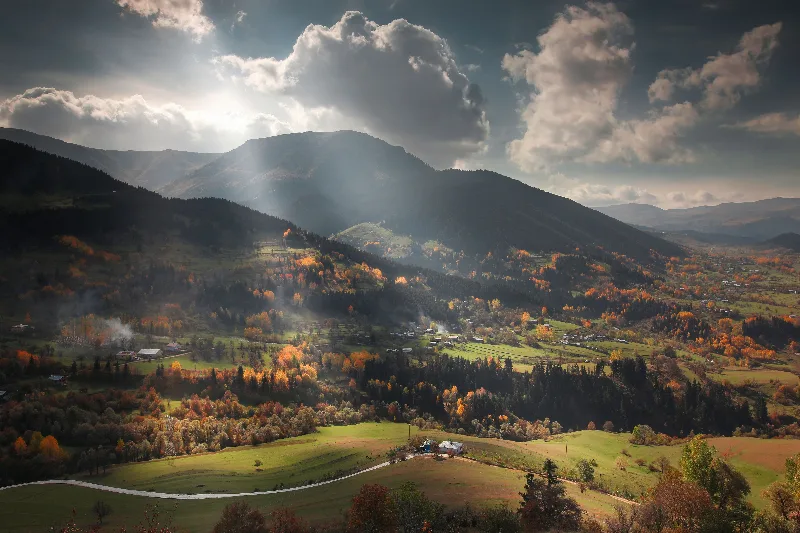
Artvin
Explore Artvin, the northeastern Black Sea region: history, standout sights, landscapes, local food and practical travel advice for an unforgettable journey in Türkiye.
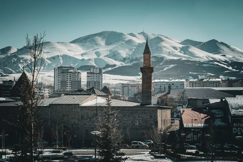
Erzurum
Erzurum is a high-plateau city in eastern Türkiye and the capital of its province, set at roughly 1,900 metres among mountains. It is known for severe winters, the long ski season on Palandöken and a historic centre of Seljuk and Ottoman monuments.
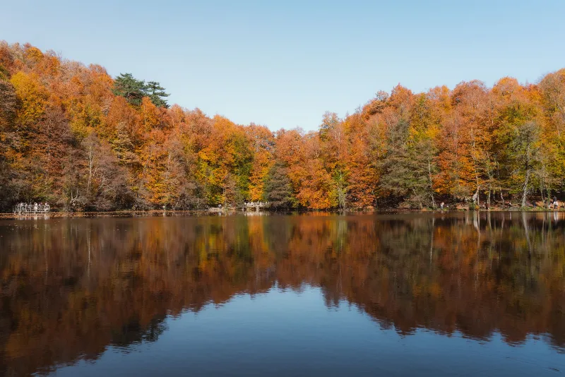
Nature Reserves of the Black Sea Region
Türkiye's Black Sea coast hides a chain of protected landscapes, from glacial lakes in the Kaçkar Mountains to canyons and old-growth forests in Kastamonu and Bartın.
Karagöl Sahara National Park Alpine Lakes in Artvin
Hidden in the forested mountains of Şavşat, Karagöl Sahara National Park in Artvin pairs a small glacial lake with a high summer pasture, offering a quiet glimpse of Turkey's north-eastern highlands.
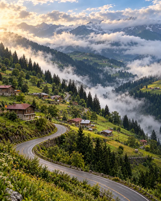
5-Day Eastern Black Sea Route
A five-day journey from Trabzon through Uzungöl, Rize, Çamlıhemşin, Ayder, Borçka and Şavşat, combining Black Sea culture with forests, lakes and highlands.
Lake Tortum
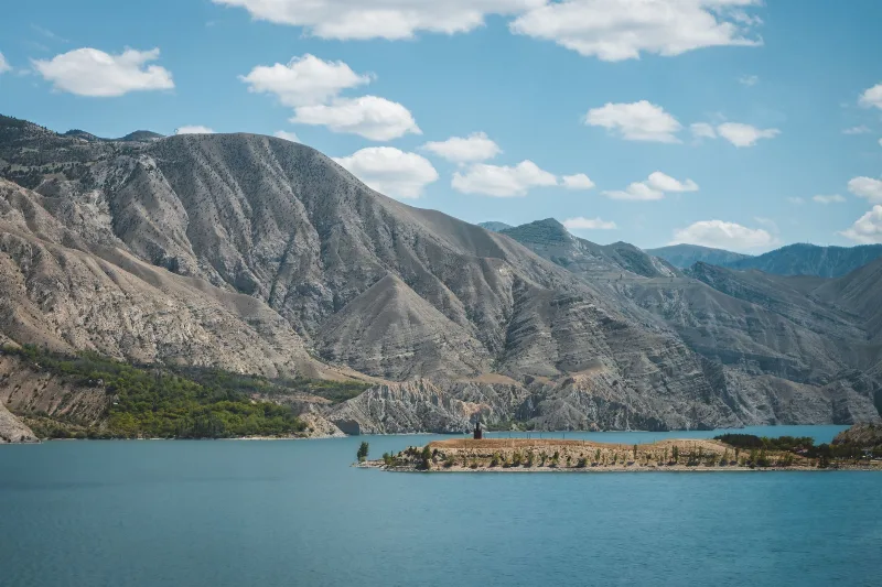
Lake Tortum is a landslide-dammed lake in Erzurum Province, northeastern Türkiye, created when a huge rock slide blocked the valley of the Tortum River. Its overflow spills over the Tortum Waterfall, one of the country's best-known cascades.