
Beaches & Bays
Coasts, coves, islands and seaside places across Türkiye.
Türkiye has an extensive and geographically varied coastline stretching along the Mediterranean, Aegean, Marmara and Black Sea. Across these four seas, the landscape shifts continuously between long sandy beaches, pebble shores, sheltered coves, rocky inlets, limestone cliffs, forested headlands, peninsulas, natural harbours and small islands. The character of the coast changes according to geology, climate, vegetation and exposure to the sea, creating clearly different coastal environments from one region to another.
Along the Mediterranean, high mountain ranges frequently rise close to the shoreline. Limestone cliffs, pine-covered slopes and clear coastal waters form the setting of many beaches and bays around Antalya, Kaş, Kalkan, Fethiye, Alanya and Mersin. Kaputaş Beach lies between steep coastal cliffs, while Patara extends across a broad sandy shoreline backed by dunes. Ölüdeniz is formed around a sheltered lagoon and curved coastal landscape, and Butterfly Valley is enclosed by steep rock walls reaching down toward the sea. The coastline between Kaş and Fethiye also contains numerous smaller coves, islands and rocky coastal formations.
The Aegean coast has a more deeply indented structure, shaped by numerous peninsulas and bays. Bodrum, Datça, Marmaris, Çeşme, Foça, Ayvalık and Kuşadası are surrounded by coastlines where sheltered water, rocky promontories, small beaches and natural harbours occur within relatively short distances. Olive groves, low mountains, maquis vegetation and coastal settlements form a large part of the surrounding landscape. The Gulf of Gökova, the Datça Peninsula and the Bodrum Peninsula are examples of areas where land and sea create a complex sequence of bays and headlands.
The Black Sea presents a different coastal environment. Dense vegetation, forested hills and river valleys frequently extend toward the shoreline. Beaches are often narrower, and the sea is bordered in many locations by steep green slopes and compact coastal settlements. The Marmara region combines islands, straits, urban waterfronts, fishing communities and quieter stretches of shore around the Sea of Marmara.
Coastal ecosystems also include dunes, wetlands, river mouths, salt marshes, sea caves and rocky habitats. Water temperature, wave conditions, currents and seasonal weather vary considerably between regions. Some shorelines are dominated by fine sand, others by pebbles, gravel or exposed rock. Together, these beaches, bays and coastal formations represent a large part of Türkiye’s physical geography and provide a continuous transition between marine environments, mountain landscapes, historic settlements and rural coastal areas.
Seasonal experiences
All Seasons →
Olive Harvest in Ayvalık, Balıkesir
Each autumn, the olive groves around Ayvalık in Balıkesir turn from green to deep purple as the harvest season begins. Between October and November, growers pick the fruit and press it into one of Türkiye's most respected olive oils.
Explore →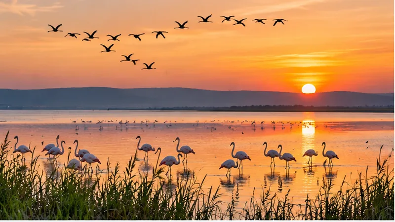
Bird Migration at Manyas Lake, Balıkesir
Manyas Lake in Balıkesir, known as Kuş Cenneti, hosts one of Türkiye's largest bird gatherings during the spring and autumn migrations. This guide explains when the movement normally peaks, what drives it and what visitors can realistically expect to see from the reserve's observation points.
Explore →
Snowdrop Bloom in Akseki, Antalya
Wild snowdrops open across the highlands around Akseki in Antalya Province during February, often emerging through lingering snow. The flowering is the first visible sign of spring in the Taurus Mountains and is marked locally with a snowdrop festival.
Explore →Related content
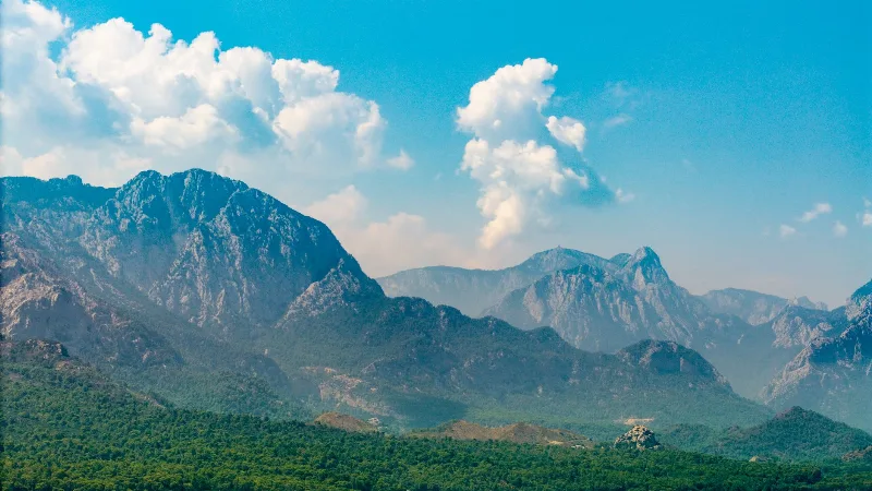
Antalya
Antalya offers a unique blend of vibrant history and stunning natural beauty, making it a must-visit destination in Türkiye.
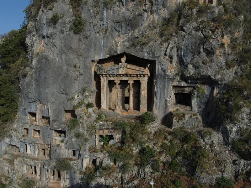
Fethiye
Fethiye is a captivating coastal town known for its stunning blue lagoon, thrilling paragliding experiences, and ancient rock tombs.
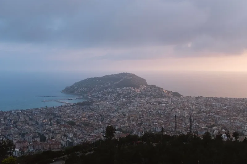
Alanya
Alanya is a district and coastal city in eastern Antalya Province, Türkiye, built around a Seljuk fortress peninsula that carries the Red Tower, a medieval shipyard and an inhabited old town. Long beaches, a mountain backdrop and a long warm season shape its character.
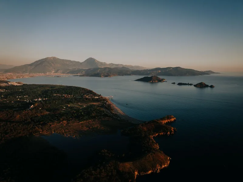
6-Day Mediterranean Coast Route: Antalya to Marmaris
A six-day linear route along Türkiye's Mediterranean coast, linking Antalya, Olympos, Demre, Kekova, Kaş, Kalkan, Patara, Fethiye and Dalyan before finishing in Marmaris. It mixes ancient cities, long beaches and small harbour towns on a continuous westward drive.
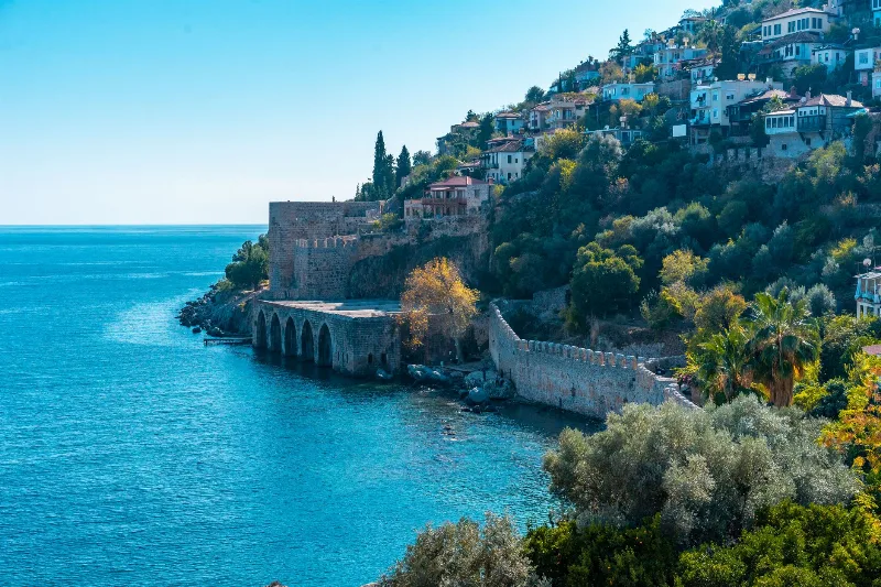
3-Day Alanya and Side Route
A three-day route along Türkiye's eastern Mediterranean coast, starting at Alanya Castle, continuing west to the ancient city of Side, and ending at the Manavgat Waterfalls.
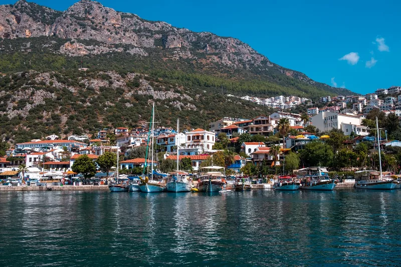
5-Day Antalya to Fethiye Coastal Route
A five-day driving itinerary along Turkey's Mediterranean shore, linking Antalya, Phaselis, Olympos, Demre, Kekova, Kaş, Kalkan, Patara and Fethiye. The route is linear, coastal for most of its length, with short inland detours to Lycian ruins.