Güzelyurt
Güzelyurt’s stone streets, cave spaces and historic churches reveal a quieter corner of Cappadocia’s volcanic landscape in Aksaray province.
Güzelyurt’s stone streets, cave spaces and historic churches reveal a quieter corner of Cappadocia’s volcanic landscape in Aksaray province.
A historic Cappadocian settlement
Güzelyurt is located in Aksaray province within the broader geological and cultural region of Cappadocia. Its built environment combines stone houses, rock-cut spaces and historic religious structures. Unlike the busier central Cappadocian destinations, the town presents a more compact setting where everyday streets and heritage features are closely intertwined. The surrounding volcanic terrain explains much of its unusual architecture.
Stone houses and rock-cut rooms
Buildings in the older quarters use stone from the region, while some spaces are carved into the rock itself. This combination reflects long-established construction practices adapted to Cappadocia’s geological formations. Stairs, courtyards and narrow lanes connect different levels of the town. Visitors can observe how masonry structures and excavated spaces exist side by side, giving the settlement a layered and distinctive appearance.
Religious heritage
Güzelyurt has an important history associated with Christian communities, particularly in the Byzantine and later periods. Churches and other religious structures remain part of the historic setting. Some sites are carved into rock while others use conventional masonry, demonstrating different approaches to sacred architecture across time. The town’s older name, Gelveri, is also associated with its multicultural past and the population changes of the twentieth century. The stone architecture should be viewed in relation to the volcanic rock rather than as a separate decorative tradition. This relationship is visible even along ordinary residential lanes. Some spaces were excavated while others were assembled from cut blocks. Their coexistence illustrates the practical choices made by successive communities and gives Güzelyurt a distinctive place within the Cappadocian landscape.
The wider landscape
The surrounding Aksaray landscape includes valleys and volcanic formations. Ihlara Valley, with its river corridor and rock-cut churches, is among the best-known natural and cultural areas in the broader district. These geological features provide a wider context for the settlement’s stone and cave architecture. The dry upland environment produces strong seasonal contrasts, with open views, pale rock surfaces and changing vegetation.
Exploring Güzelyurt
The town can be reached by road from Aksaray and other Cappadocian centres. A walking route through the older streets offers varied views of domestic architecture and religious heritage. Spring and autumn are generally comfortable for outdoor exploration, while summer sun can be strong on exposed stone surfaces. Travellers interested in visiting particular churches should check current opening and preservation arrangements before their trip.
From the land
Find All →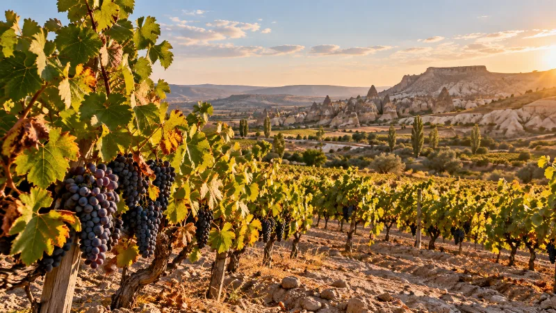
Nevşehir Grapes
Nevşehir grapes come from the volcanic plateau of Cappadocia in central Türkiye, where thin tuff soils, high elevation and dry summers support vineyards grown for wine, grape molasses and drying.
Explore →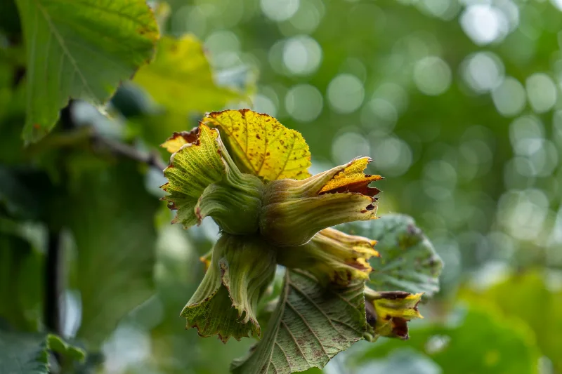
Ordu Hazelnuts
Ordu hazelnuts come from Türkiye's leading hazelnut province on the central Black Sea coast, where humid air, year-round rainfall and steep hillside orchards give the crop its distinctive character.
Explore →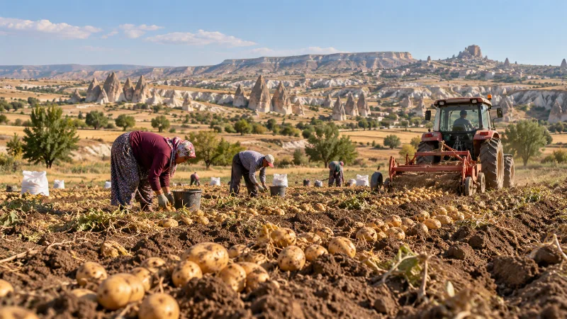
Nevşehir Potatoes
Nevşehir potatoes are grown on the volcanic plateau of Cappadocia in central Türkiye, where tuff-derived soils, cold winters and warm dry summers shape a crop that is harvested in late summer and kept in the region's cool rock-cut storage chambers.
Explore →Related content
Aksaray
Explore Aksaray, Central Anatolia: history, standout sights, landscapes, local food and practical travel advice for an unforgettable journey in Türkiye.
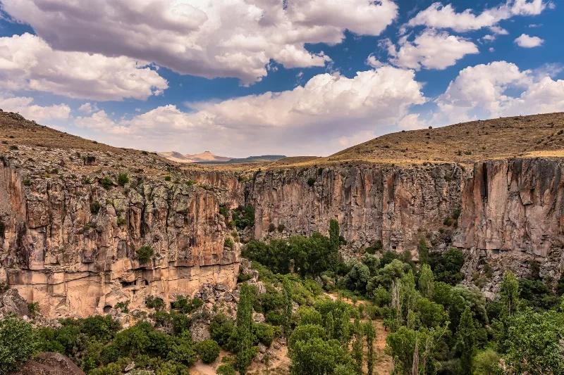
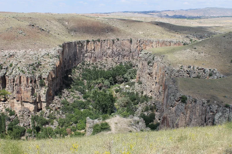
Ihlara Valley
Ihlara Valley is a green canyon in Aksaray Province, cut by the Melendiz River through soft volcanic rock. Its steep walls, riverside vegetation and rock-cut churches make it one of the most distinctive landforms of the wider Cappadocia region.
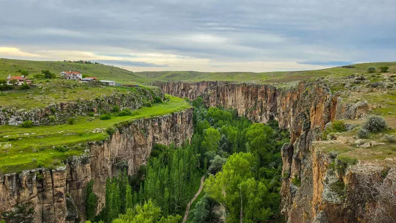
Ihlara Valley
Ihlara Valley is a 14-kilometre canyon in Aksaray Province cut by the Melendiz River, lined with Byzantine rock-cut churches and frescoes. This guide covers its geology, the churches inside it, the walking route and the best time to visit.
Ihlara Valley Rock Churches and Melendiz River in Aksaray
The Ihlara Valley in Aksaray province shelters dozens of rock-cut Byzantine churches above the Melendiz River, where painted walls, poplar groves and steep tuff cliffs form one of Central Anatolia's most distinctive landscapes.
2-Day Cappadocia Underground Cities Route
A two-day route from Nevşehir through the underground cities of Kaymaklı and Derinkuyu, finishing with a walk through the Ihlara Valley and the rock-cut complex at Selime.
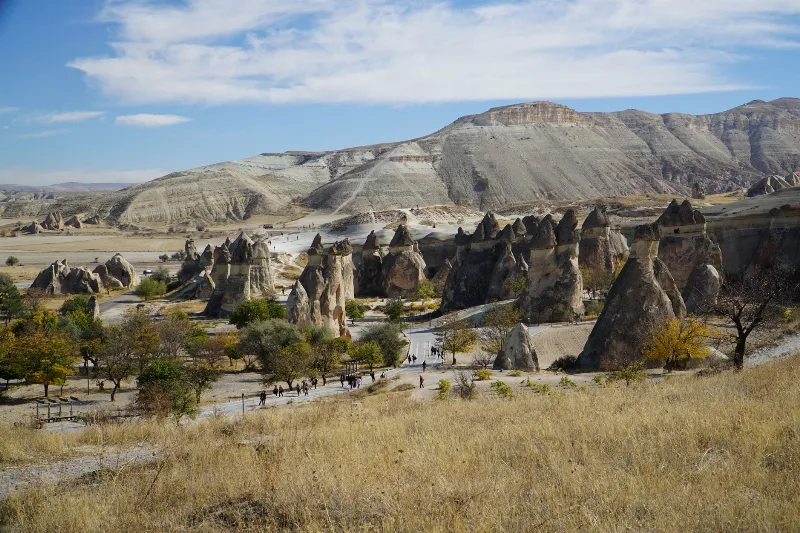
4-Day Cappadocia to Konya Route
A four-day southbound route from Cappadocia's rock-cut valleys to Konya, linking the underground cities of Derinkuyu and Kaymaklı, the Ihlara canyon, Selime Monastery and the Mevlana Museum. It is a linear, self-drive journey across the volcanic plateau of Central Anatolia into the Konya plain.