
Phaselis
Phaselis is an ancient Greek and Roman harbour city on a low peninsula near Kemer in Antalya Province, known for its three harbours, a long paved main street and a triple-arched gate built in honour of the emperor Hadrian.
Phaselis is an ancient Greek and Roman harbour city on the Mediterranean coast of Antalya Province in southern Türkiye. It occupies a low, narrow peninsula that projects southward into the sea beside the modern town of Tekirova, in the Kemer district. Traditionally founded by colonists from Rhodes and occupied from at least the Archaic period, the settlement grew into a prosperous maritime trading port and lay in the transitional zone between the historical regions of Lycia and Pamphylia. Its remains — three harbours, a long paved main street, agoras, baths, aqueducts and a theatre — form one of the most legible ancient coastal landscapes on the Gulf of Antalya.
Where Phaselis Is Located
The site sits on the eastern side of the Gulf of Antalya, roughly midway along the coast road that runs south from the city of Antalya towards Kemer and Tekirova. The peninsula is flat and low, only a few metres above sea level at its centre, and is flanked by the forested slopes of the Beydağları range, which rises steeply behind the coast. This geography explains the city's existence: the peninsula provided sheltered anchorages on both its eastern and western sides, while the mountains behind supplied timber, fresh water and a defensible hinterland.
The ancient city should not be confused with the modern district of Kemer in which it lies, nor with the many other archaeological sites scattered along the same coastline. It is a specific, separately identifiable ancient settlement with its own boundaries, monuments and history.
Origins as a Rhodian Colony
Ancient tradition held that Phaselis was founded by colonists from Rhodes, and the city's institutions, calendar and cults retained a distinctly Rhodian character throughout antiquity. The foundation is usually placed in the seventh century BC, a period of widespread Greek colonisation along the southern coast of Anatolia, although the earliest archaeological material from the site is not always easy to date precisely. The settlers chose the peninsula deliberately: it offered not one but three natural harbours, an unusual advantage that shaped the city's entire later history.
From its foundation, Phaselis sat on a cultural and political frontier. To the west lay Lycia, a region of distinctive language, federal organisation and rock-cut funerary architecture; to the east lay Pamphylia, with its own Greek-influenced cities. Phaselis was frequently assigned to one or the other by ancient geographers, and its identity drew on both.
The Three Harbours and Maritime Trade
The defining feature of Phaselis was its three harbours, often described as northern, central and southern. The northern harbour served as the principal commercial anchorage, while the southern harbour lay at the foot of the city's main street and was associated with the military and later ceremonial life of the city. A third, smaller basin completed the group.
This concentration of anchorages made Phaselis a natural stopping point for ships sailing between the Aegean, Cyprus, Egypt and the Levantine coast. The city's wealth came from trade, harbour dues and the movement of goods, and its commercial importance is reflected in the density of public buildings crowded onto a relatively small peninsula. Imported pottery and other finds indicate connections across the eastern Mediterranean.
Hellenistic Phaselis and the Lycian League
In the Hellenistic period, following the conquests of Alexander the Great, Phaselis became one of the prizes contested by the successor kingdoms. The city was drawn into the rivalry between the Ptolemaic kingdom of Egypt and the Seleucid empire, changing allegiance according to the balance of power in the eastern Mediterranean. It also became a member of the Lycian League, the federal organisation of Lycian cities, which gives some indication of how the city was classified politically even if its culture remained strongly Greek.
Alexander himself is reported to have passed through Phaselis in 333 BC during his campaign along the southern coast, and the city later commemorated its associations with major Hellenistic rulers. The Hellenistic city walls, parts of which survive on the higher ground, belong to this period of fortification and competition.
Phaselis under Roman Rule
By the second century BC, Roman power had reached the eastern Mediterranean, and Phaselis, like its neighbours, came under Roman authority. The city retained its civic institutions and continued to prosper as a port, and the surviving monuments belong largely to the Roman imperial period, when the peninsula was rebuilt and embellished.
The most famous event in the city's Roman history is the visit of the emperor Hadrian in about AD 130. In honour of that visit, a monumental triple-arched gateway was erected at the southern end of the city, the structure now generally known as Hadrian's Gate. It should not be confused with the better-known Hadrian's Gate in the city of Antalya.
The Main Street and the Hadrianic Gate
Phaselis is unusual among ancient cities for the clarity of its urban plan. A long, paved main street runs the length of the peninsula, linking the northern and southern harbours and serving as the spine of the city. The street is flanked by the remains of porticoes, shops and public buildings, and it passes directly through Hadrian's Gate, whose three arches and flanking piers still stand largely intact.
Walking this axis today gives an unusually direct sense of how an ancient port city was organised: harbour, gate, street, agora and theatre follow one another in sequence. The paving, thresholds and column bases survive well enough to read the street's original dimensions and alignments.
Agoras, Baths and Public Buildings
The commercial and civic heart of Phaselis lay along the main street. Remains of agoras, the open marketplaces where the city's business was conducted, survive on both sides, together with the foundations of stoas and other colonnaded structures. The city also contained several bath complexes, whose brick and stone walls, hypocaust systems and floor levels can still be seen. Baths were not merely places of hygiene in the Roman world but social and recreational institutions, and their presence in Phaselis reflects the city's wealth and its attachment to Roman urban culture.
An aqueduct carried water into the city from the slopes behind it, and sections of its arches and channel are still visible. The scale of this infrastructure indicates a substantial resident population and a level of civic investment comparable to other prosperous ports of the region.
The Theatre and the Acropolis
A theatre is built into the rising ground on the eastern side of the peninsula, its seating oriented towards the sea with a view across the water. Like many ancient theatres in Anatolia, it has a Hellenistic origin and was modified in Roman times, and its seats, retaining walls and parts of the stage building can be distinguished among the ruins.
Behind and above the city, the acropolis area preserves stretches of fortification wall and traces of later occupation. The higher ground offers a broad view over the peninsula, the harbours and the coastline, and helps clarify how the city related to its hinterland.
What Visitors Can See Today
The site today is a landscape of stone, sand and vegetation in which the plan of the ancient city remains clearly readable. Visitors will encounter:
- the paved main street running between the northern and southern harbour areas;
- Hadrian's Gate, still standing as the city's most recognisable monument;
- the three harbours and the surviving quays and breakwaters;
- the theatre on the eastern slope;
- the remains of agoras, baths and colonnaded buildings along the street;
- aqueduct arches and channels on the approach to the city;
- sections of the Hellenistic and later fortification walls on the higher ground;
- a necropolis area with tombs on the edges of the settlement.
Many of the structures are unlabelled or partly overgrown, and interpretation on site is limited, so a basic understanding of the city's layout makes a visit considerably more rewarding. The surviving architecture is best appreciated as a whole rather than through individual exhibits.
Terrain, Walking and Practical Considerations
The peninsula is largely flat and the main street is easy to walk, but the theatre, acropolis and some of the peripheral areas require climbing over uneven ground, loose stone and steps. Footwear suitable for rough surfaces is advisable, and there is little shade over much of the site, which makes the summer heat a genuine consideration. The sea lies immediately beside the ruins, and swimming from the small beaches next to the ancient harbours is common.
The climate of the Gulf of Antalya is Mediterranean, with hot, dry summers and mild, wetter winters. Spring and autumn are generally the most comfortable periods for exploring the site, since the exposed stonework and sparse shade make the middle of summer demanding. Access to the general area is by road from Antalya via Kemer and Tekirova, and the site is reached from the coastal highway; the surrounding coastline forms part of a protected national park landscape.
The City's Later History and Abandonment
Phaselis continued to exist into the Byzantine period, but its importance as a trading port declined as the political and economic geography of the region changed. Harbour silting, shifts in maritime routes and the broader contraction of urban life in late antiquity all contributed to the city's gradual abandonment, and by the medieval period it had ceased to function as a settlement. Its buildings were subsequently quarried for stone and covered by vegetation and sand, which is one reason the street plan survives so clearly today.
Systematic archaeological investigation and conservation work have since exposed and stabilised many of the principal monuments, and the site is protected as part of Türkiye's cultural heritage.
Related Places Nearby
Phaselis belongs to a densely historic stretch of the Antalya coast. To the south lies Olympos, another ancient harbour city with its own extensive ruins and a very different, more wooded setting. Further south, the permanent gas vents known as the Chimaera (Yanartaş) on the slopes above Çıralı are associated with one of the most persistent legends of the region, although the flames themselves are a natural geological phenomenon rather than a man-made monument. The mountain of Tahtalı Dağı rises behind the coast, and the coastal towns of Kemer and Tekirova provide the nearest modern settlements. Together these sites allow the ancient maritime landscape of eastern Lycia to be understood as a connected whole rather than as isolated ruins.
Routes
All routes →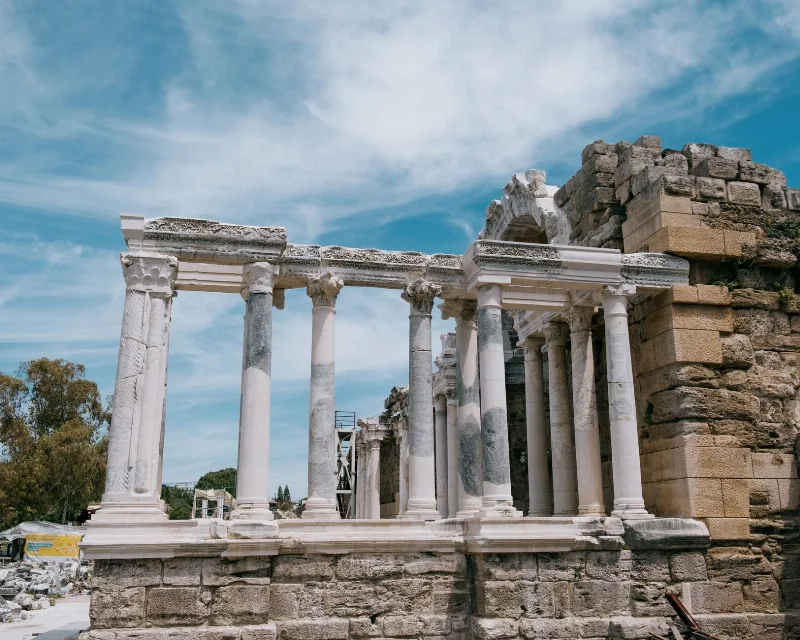
3-Day Antalya to Side Ancient Coast Route
A three-day coastal journey from Antalya to Side that links the archaeological sites of Perge and Aspendos with the Manavgat Waterfall and the ruins of Side, with a clear day-by-day sequence of stops.
Explore →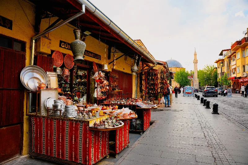
1-Day Gaziantep Route
A compact one-day route through central Gaziantep, moving from the Zeugma Mosaic Museum to the castle hill, the historic hans and bazaars, and a baklava finish in the old centre.
Explore →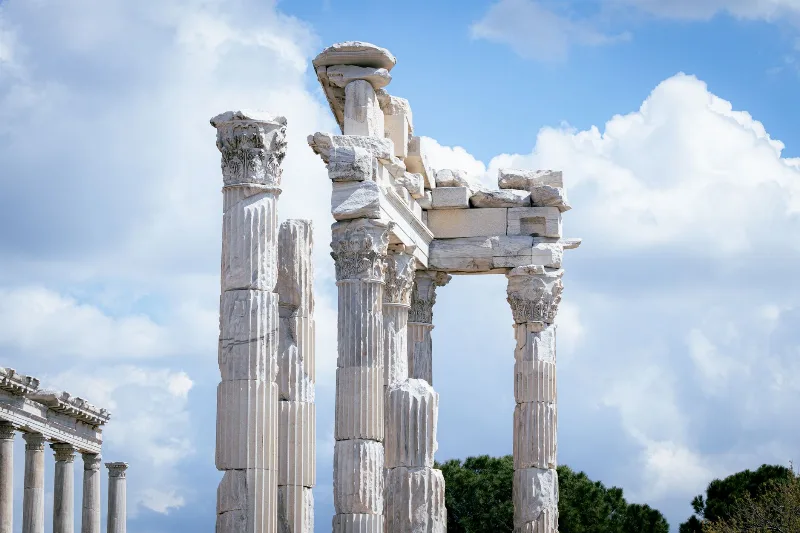
2-Day Bergama and Ayvalık Route: Pergamon to Cunda Island
A compact two-day route that pairs the terraced ruins of ancient Pergamon in inland Bergama with the olive-growing Aegean coast at Ayvalık and the causeway-linked island of Cunda.
Explore →
6-Day Central Black Sea Route
A six-day journey along Turkey's Central Black Sea coast from Samsun to Trabzon, visiting Ordu and Giresun with highland and beach stops.
Explore →Related content

Kemer
Kemer is a coastal district of Antalya Province on Türkiye's Mediterranean shore, known for its yacht marina, pebbly beaches and its position between the Beydağları mountains and ancient Lycian sites such as Phaselis.

Antalya
Antalya offers a unique blend of vibrant history and stunning natural beauty, making it a must-visit destination in Türkiye.
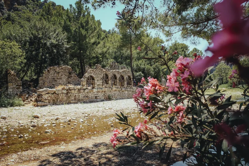
Olympos
Olympos is an ancient Lycian city in Antalya Province, Türkiye, whose ruins stand on both banks of a wooded river valley. Once a member of the Lycian League and later a Roman harbour town, it is best known for its theatre, baths and Lycian sarcophagi, and for the naturally burning Chimaera flames on the mountain above.
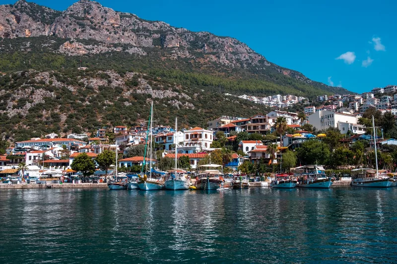
5-Day Antalya to Fethiye Coastal Route
A five-day driving itinerary along Turkey's Mediterranean shore, linking Antalya, Phaselis, Olympos, Demre, Kekova, Kaş, Kalkan, Patara and Fethiye. The route is linear, coastal for most of its length, with short inland detours to Lycian ruins.
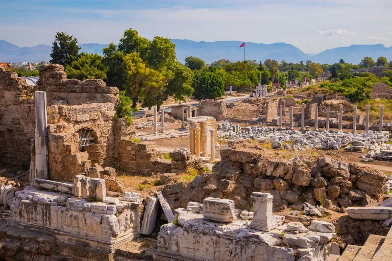
Phaselis
Phaselis is a Rhodian-founded port city on the eastern Lycian coast, where paved streets, agoras, baths and a small theatre stand among pines between three sheltered bays.
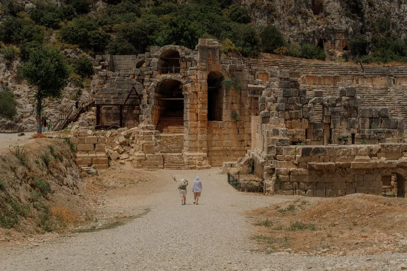
The Ancient City of Phaselis on the Lycian Coast
Phaselis is an ancient port city near Kemer in Antalya, where three harbours, a colonnaded main street and Roman-era ruins sit among pine trees at the water's edge.