
Ortahisar
Ortahisar is a small Cappadocian town in Nevşehir Province, built around a massive rock castle and shaped by carved cave houses, stone streets and old storage tunnels.
Ortahisar is a small town in the Cappadocia region of central Türkiye, in Nevşehir Province, within Ürgüp district. Its defining feature is the rock castle that rises almost from the middle of the settlement — a tall cone of soft volcanic tuff that gave the town its name, "middle castle." Around this central mass, houses are cut into the same stone, and lanes run between rock faces and older masonry fronts. Ortahisar is not an open-air museum or a staged resort; it is an inhabited town where everyday life still unfolds among cave dwellings and carved storage rooms that were used long before tourism arrived.
Where the Town Lies and What Surrounds It
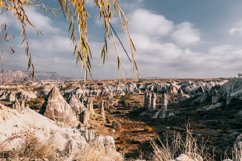
Ortahisar occupies a broad basin-like setting in the heart of Cappadocia, between the better-known centres of Göreme to the north-west and Ürgüp to the east. The landscape is the classic Cappadocian mix of flat valley floors, low ridges and eroded tuff formations, with vineyards and orchards spread across the gentler ground. Because it sits close to several of the region's main valleys, the town works as a quieter base from which the surrounding terrain can be explored on foot.
The terrain around the settlement is soft and easily walked in dry weather, but the tuff is crumbly, and paths can turn slick or dusty depending on the season. Within the town itself, streets are narrow, often stepped, and paved unevenly, so a normal walking day involves some climbing.
The Rock Castle at the Centre
The castle is the reason the settlement exists where it does. Carved out of a single volcanic outcrop, it was hollowed into multiple levels of rooms, passages and openings rather than built up with conventional walls. These cavities served different purposes over time: shelter and defence in unsettled periods, and cool, stable storage in calmer ones. The honeycomb of windows and doorways cut into its face is what most visitors notice first, and the castle can be seen from almost every point in town.
It is worth understanding that the castle is not a classical fortress with battlements and courtyards. Its architecture is the architecture of the rock itself — the space has been extracted rather than constructed, which is why its shape follows the natural cone.
Cave Houses, Stone Facades and Old Neighbourhoods
Ortahisar's building tradition combines carved interiors with built fronts. Many houses begin as a cave room cut into the rock and continue outward as a stone facade with windows and a doorway. This produces the characteristic look of the town: a rock wall studded with openings at one end, and a more conventional stone or rendered front at the other.
The older neighbourhoods preserve examples of nineteenth-century local and non-Muslim domestic architecture, with arched doorways, small courtyards and upper floors that overlook the lanes. Some of these structures are still occupied, while others stand empty and slowly weather back into the landscape. That mixture — inhabited next to abandoned — gives the streets an honest, working character rather than a restored one.
Tunnels, Cellars and the Storage Economy
Beneath and behind the houses, the rock has been tunnelled and chambered on a scale that reflects how the town once made its living. Cool, dark rooms cut into the stone were used to keep produce fresh through the seasons, and the practice of storing goods in these carved spaces shaped the layout of the settlement as much as housing did. Walking through Ortahisar, you repeatedly notice doorways and low openings that lead into the rock rather than into a building.
These carved volumes are part of why the town feels denser and more enclosed than the open valleys nearby. Streets frequently end at a rock wall, turn sharply, or pass under an arch, so the town reads almost as a single continuous structure in places.
Historical and Cultural Background
Ortahisar's history is tied to the wider story of Cappadocia: a landscape settled because its soft stone could be shaped into shelter, and defended because that same stone could be hollowed into refuges. The town's population was historically mixed, and the architecture reflects a period when different communities lived side by side and built in a shared local idiom. Over the twentieth century, that composition changed, and many houses were left behind.
What remains is a settlement that carries its past in its fabric rather than in reconstructions. There is no need to look for a single monument: the town itself, together with its castle, is the historical record.
What You Can Realistically See on a Walk
- The rock castle and the openings cut into its face, viewed from several angles in town.
- Narrow lanes lined with carved doorways, stone facades and stepped passages.
- Old houses in the historic neighbourhoods, some still lived in, others derelict.
- Carved storage rooms and tunnel-like openings at street level.
- Wide views over the surrounding Cappadocian valleys from elevated points in the town.
A walk of a couple of hours is enough to cover the centre and the main residential lanes at an unhurried pace. Because the town is compact and lived in, most of what you see is simply the place as it is, not a designated attraction.
Getting to Ortahisar
Ortahisar is reached by road, and it lies close to the main Cappadocian towns, so it is easily combined with a wider trip through the region. It sits on routes connecting Ürgüp with the Göreme area, which makes it reachable from either direction. Cappadocia is served by two airports in the wider region — one near Kayseri and one near Nevşehir — and from there the town is reached by road via Nevşehir or Ürgüp. Local connections between the Cappadocian settlements are generally made by road, and the distances between Ortahisar, Ürgüp and Göreme are short.
Since transport arrangements in the region change with season and operator, it is sensible to confirm current options locally rather than rely on a fixed assumption.
When to Visit
Spring and autumn are the most comfortable periods. Temperatures are moderate, the ground is generally firm underfoot, and the light across the tuff valleys is even. Summer brings strong midday heat and bright, hard light, which makes walking the stepped streets tiring in the middle of the day; early mornings and late afternoons are easier. Winter can bring cold and occasional snow, which changes the appearance of the rock formations considerably and can make some paths slippery.
Practical Points Before You Go
Wear shoes with good grip. The streets are uneven, some are stepped, and loose gravel or dust is common. Carry water, as the town's slope means you will be moving up and down rather than strolling on the flat. Many of the carved spaces are private property or in fragile condition, so it is better to look from the street than to enter openings that are not clearly meant for visitors. The tuff is soft and erodes easily, so avoid climbing on formations or carved facades.
Finally, remember that Ortahisar is a residential town, not a site with opening hours. Respecting the fact that people live behind many of the doors you pass is part of visiting it properly.
Places Genuinely Near Ortahisar
Ortahisar sits in a cluster of Cappadocian settlements and valleys that can be visited in the same trip. Ürgüp is the nearest larger town, and Göreme, with its concentration of rock-cut churches and monasteries, lies to the north-west. The historic town of Mustafapaşa is within the same district, and the surrounding valleys — including the red-toned valley terrain that Cappadocia is known for — are within easy reach of the town. Because these places share the same geology, they can be understood together: the same tuff that was carved into Ortahisar's castle also shaped its neighbours.
From the land
Find All →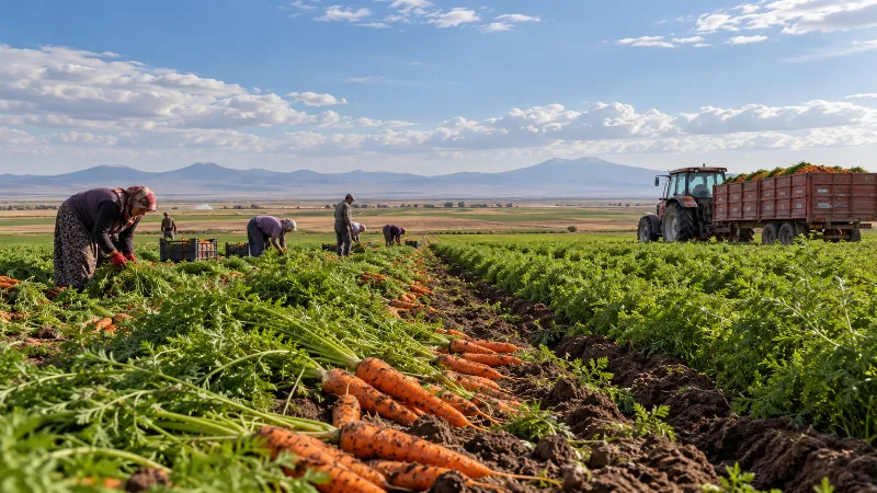
Konya Carrots
Konya carrots are grown on the irrigated plains of central Türkiye, where deep alluvial soils and a continental climate produce firm, sweet and crunchy roots.
Explore →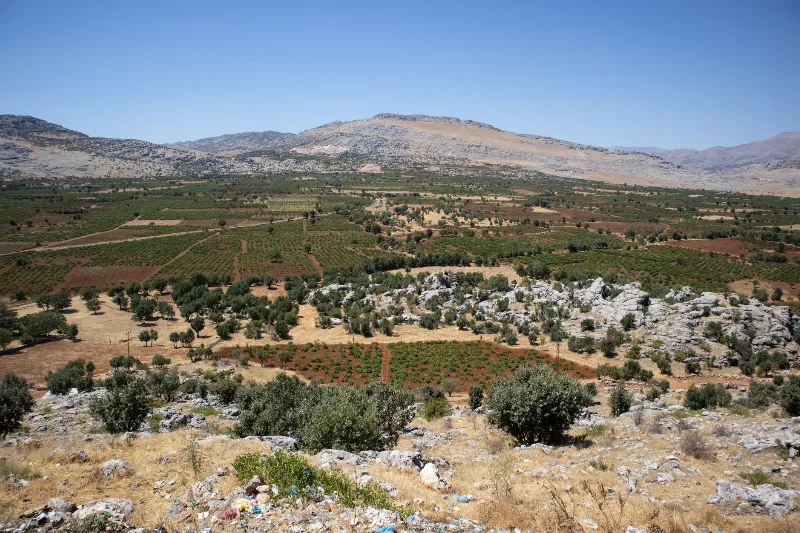
Milas Olive Oil
Milas olive oil is pressed from olives grown in and around the Milas district of Muğla province, where a Mediterranean climate, stony hillsides and the Memecik olive give the oil its fruity, peppery character.
Explore →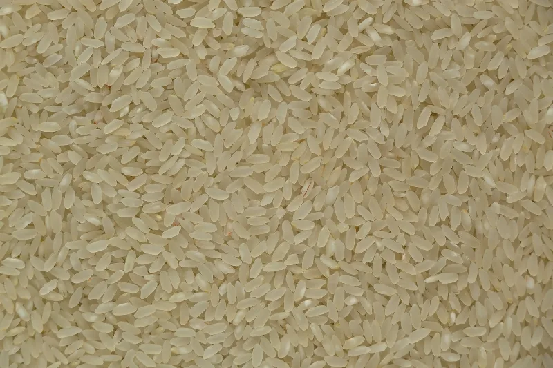
Osmancık Rice
Osmancık rice is a regional rice variety from the Osmancık district of Çorum in northern Türkiye, where the Kızılırmak River supports local paddies. It is known for its aroma and taste, especially in pilafs.
Explore →Related content
Nevşehir
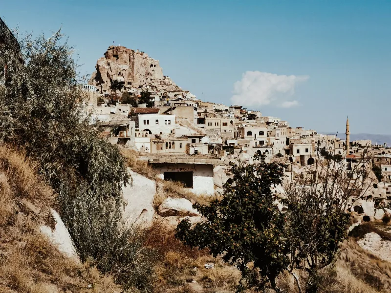
Nevşehir is a provincial capital in Central Anatolia and the main urban base for the rock landscapes, underground settlements and balloon flights of the Cappadocia region.
Cappadocia
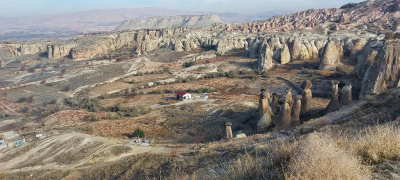
Cappadocia is a region of Central Anatolia in Turkey defined by eroded volcanic tuff, rock-cut Byzantine churches and multi-level underground cities. This guide explains how the landscape formed, what the main valleys and sites actually contain, and what to know before visiting.
Kayseri
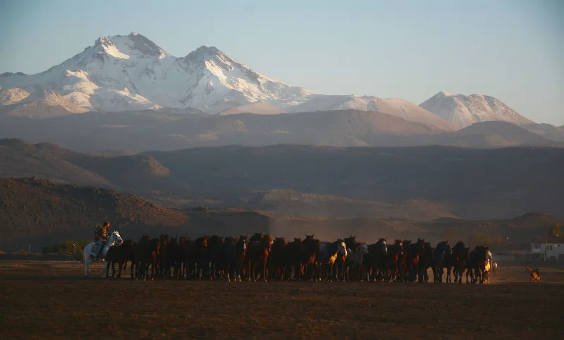
Kayseri is a major inland city in Central Anatolia, set on a plain at the foot of Mount Erciyes, and known for its Seljuk architecture, its manufacturing economy and a food culture built on pastırma and mantı.
Uçhisar
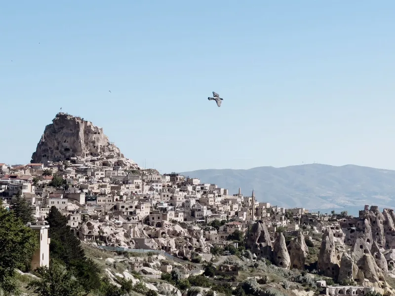
Uçhisar is a small town in the Nevşehir province of Cappadocia, built around a huge volcanic rock fortress that rises above the surrounding valleys and fairy chimneys.
Grape Harvest in Nevşehir
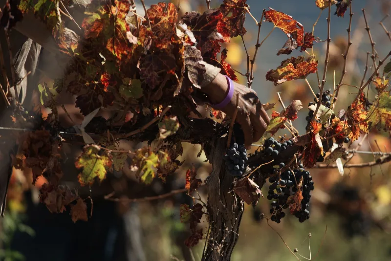
Each autumn the volcanic slopes around Nevşehir turn to grape picking, when families gather fruit for wine and molasses across the Cappadocia vineyards.
Göreme National Park
Göreme National Park is a protected volcanic landscape on the Cappadocia plateau in Nevşehir Province, Türkiye, defined by eroded tuff cones known as fairy chimneys and by settlements carved into the same soft rock.