
Mount Erciyes
Mount Erciyes is a dormant 3,917-metre stratovolcano rising above the Kayseri plain in Central Anatolia, known for its ski resort, summer trekking routes and its role as a landmark of Turkish volcanism.
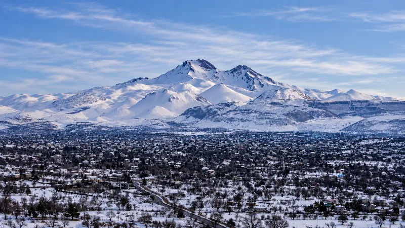
Mount Erciyes is a dormant stratovolcano in Kayseri Province, in the Central Anatolia region of Türkiye. Its summit reaches 3,917 metres, making it the highest mountain in Central Anatolia and one of the highest peaks in the country. The cone rises roughly 2,500 metres above the plain around it and dominates the skyline of the city of Kayseri, which lies about 25 kilometres to the north. Because of its altitude and consistent winter snow, the mountain carries a large ski area on its northern flank, while in summer it becomes a trekking objective. Its layered lava and ash deposits also make it a reference point for the study of volcanic activity in the region.
Where Mount Erciyes Stands
Erciyes occupies the centre of the Anatolian plateau, at approximately 38°32′ north and 35°27′ east. It rises from the Kayseri plain, a broad basin lying at roughly 1,000 to 1,100 metres above sea level, so the mountain is comparatively isolated rather than part of a long mountain chain. That isolation is one reason its profile is so prominent: on clear days the snow-streaked cone is visible from a wide area of the surrounding plateau.
The lower flanks reach into several districts around the plain. The northern slopes, including the road up to the Tekir plateau and the ski area, belong to the districts immediately south of Kayseri such as Hacılar and Melikgazi. To the south and south-east, the mountain's streams and snowmelt drain towards the Develi plain, while parts of its western foot fall within the wider Kayseri provincial countryside. None of the surrounding settlements are large; the urban scale belongs to Kayseri itself.
The Geology of a Central Anatolian Volcano
Erciyes is part of the Central Anatolian Volcanic Province, a belt of young volcanoes and volcanic fields that also includes Hasan Dağı, Göllü Dağ, Acıgöl and the Melendiz area. These volcanoes grew in response to the tectonic setting of the region, where the Anatolian block is squeezed and stretched between converging plates, allowing magma to reach the surface.
Erciyes is a compound stratovolcano, built up over a long period by successive eruptions of andesitic and dacitic lava, together with pyroclastic material such as ash, pumice and ignimbrite, and with some basaltic activity. Its construction took place in several phases, beginning well before the Quaternary and continuing into geologically recent times. Later eruptions and long erosion have shaped the present cone, cutting deep gullies and valleys into the flanks and leaving parasitic cones and lava domes around the main summit. On the higher slopes there are also landforms associated with cold-climate conditions and past glaciation, including cirque-like hollows, moraine deposits and periglacial features. The volcano is generally described as dormant rather than extinct, and its past activity is studied through the widespread tuff and ignimbrite deposits that cover parts of the surrounding plain.
Mount Argaeus and the Historical Record
The mountain was known in classical antiquity as Argaeus, or Mons Argaeus in Latin sources. It appears on Roman provincial coins minted at Caesarea, the city that is now Kayseri, where the mountain is often shown as a conical peak. These coins are among the clearest pieces of evidence that the volcano served as a civic emblem for the ancient city at its foot.
Ancient writers attached legends to the summit. Strabo repeated the claim that both the Black Sea and the Mediterranean could be seen from the top, a statement that does not survive scrutiny of distances and is best understood as part of the mountain's reputation in the ancient world rather than a practical observation. What is certain is the mountain's long association with the settlement below it, an association that continued through the Byzantine, Seljuk and Ottoman periods and remains intact today, with Erciyes acting as the recognised symbol of Kayseri.
What Can Be Seen on the Mountain
Vegetation changes quickly with altitude. The lower slopes carry steppe vegetation with scattered oaks and areas of planted pine, but tree cover is limited and thins out as the ground rises. Above roughly 2,000 metres the landscape becomes bare, dominated by volcanic rock, scree, gullies and open slopes swept by wind. Snow normally covers the upper mountain for a large part of the year, and patches can persist into summer in shaded hollows and on north-facing ground.
From the summit or from high points reached by the ski lifts, the view opens across the Anatolian plateau. The Kayseri plain and the city can be seen to the north, the Develi basin and the wetland zone of Sultansazlığı lie to the south, and on clear days other volcanic peaks of the region, including Hasan Dağı far to the west, are visible on the horizon. Because the mountain stands alone, the panorama is unusually wide rather than blocked by neighbouring ranges.
Skiing at Erciyes
The ski area is developed on the northern flank, above the Tekir plateau, and is one of the largest in Türkiye. Lifts and gondolas serve terrain that spreads across a wide band of the mountain, with the upper stations sitting well above 3,000 metres and lower runs beginning in the forest and steppe zone. The layout gives a long vertical drop and a mix of gentle slopes for beginners and steeper ground for experienced skiers.
The season generally runs from December to April, with the most reliable conditions usually falling between January and March. Snowmaking equipment supports parts of the lower terrain, but the quality and depth of natural snow vary from year to year. The base area includes facilities and accommodation, and the road from Kayseri is kept open through the winter, though heavy snowfall can slow or temporarily interrupt access.
Hiking, Climbing and Terrain
In the snow-free months Erciyes is climbed by hikers and mountaineers. Most ascents begin from the road and ski area on the northern side and follow open slopes toward the summit. The upper part of the route is steep and covered in loose rock and scree, and in early summer lingering snow can require an ice axe and crampons. No fixed technical rock climbing is normally needed on the standard lines, but the mountain is high enough that altitude, wind and sudden changes in weather are the main difficulties rather than technical terrain.
A summit attempt is generally a long day, and many visitors break the climb with an overnight stay near the ski area. Because the summit approaches 3,900 metres, altitude effects are real for people arriving directly from sea level; a slow pace, plenty of water and an early start are sensible. Local guides can be arranged in Kayseri, and conditions on the snowfields should be checked before setting out.
Seasons and Weather
Kayseri has a continental, largely dry climate, and Erciyes exaggerates it. Winters are cold, with snow on the mountain and frost and occasional snow in the city. Spring brings melting snow, heavy mud on the lower tracks and unstable snow on the upper slopes. Summer days in the valley can be hot and dry, while the summit remains cool, windy and exposed, with afternoon cloud build-up and occasional storms. Autumn often brings clear, stable weather, though the first significant snow can arrive in November.
The practical implication is that Erciyes is a mountain for two different seasons. Skiers and snowboarders come in mid-winter, while walkers and climbers concentrate on the period from late June to September, when the snow has retreated far enough to make the rock and scree routes reasonably accessible.
Getting There and Practical Points
Kayseri is the gateway to the mountain. The city has an airport with domestic connections and is also served by high-speed rail from Ankara, which makes a car-free visit possible. From the city centre, the ski area and the upper road are roughly 25 to 30 kilometres away, a drive of about 40 minutes on a road that climbs steadily through Hisarcık towards the Tekir plateau.
- Fuel, food and equipment are best sorted in Kayseri, since services higher on the mountain are limited.
- In winter, check road and snow conditions before driving up, and carry chains if required.
- At altitude, sun exposure is strong even when the air is cold; sun protection and windproof clothing matter.
- Mobile coverage is generally available on the upper slopes, but not uniformly in every gully.
- There is no charge for simply viewing the mountain from the plain, and the summit can be seen from many points in Kayseri.
Nearby Places Worth Combining
Because Erciyes sits beside a major city, a visit fits naturally with other sites in the Kayseri area. The city itself holds Seljuk and Ottoman monuments, including the Hunat Hatun complex and the castle at its centre. North-east of the city, the mound of Kültepe, ancient Kanesh, is one of the most important Bronze Age archaeological sites in Anatolia, known for its Assyrian trading colony. South of the mountain, the Sultansazlığı marshes form a large wetland of international importance for birds, while further west the rock-cut churches of the Soğanlı valley and the volcano of Hasan Dağı extend the region's geological and historical range. Together, these places make the area around Erciyes one of the more varied inland destinations in Türkiye.
Related content
Kayseri
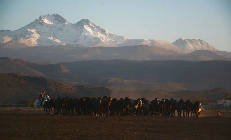
Kayseri is a major inland city in Central Anatolia, set on a plain at the foot of Mount Erciyes, and known for its Seljuk architecture, its manufacturing economy and a food culture built on pastırma and mantı.
Ankara
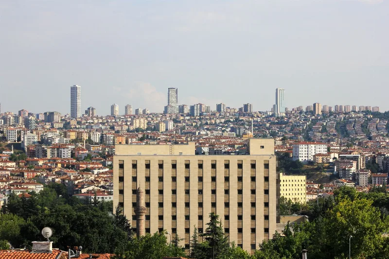
Ankara is the capital of Türkiye and the country's second-largest city, set on the high plateau of Central Anatolia and defined by its republican institutions, its long pre-Ottoman history and the mausoleum of Mustafa Kemal Atatürk.
Kültepe
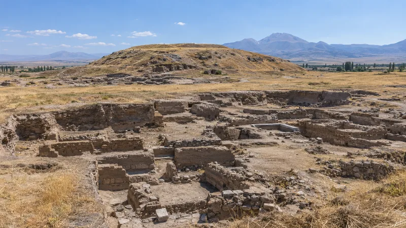
Kültepe, the ancient city of Kanesh, is a Bronze Age mound and lower-city site northeast of Kayseri in central Türkiye. Its Assyrian merchants left behind thousands of cuneiform tablets, the earliest written records discovered in Anatolia.
Kayseri and the Art of Turkish Pastry Making
In the Anatolian city of Kayseri, thin sheets of dough are rolled, filled and layered into pastries that anchor everyday meals and festive tables alike.
Central Anatolia Region
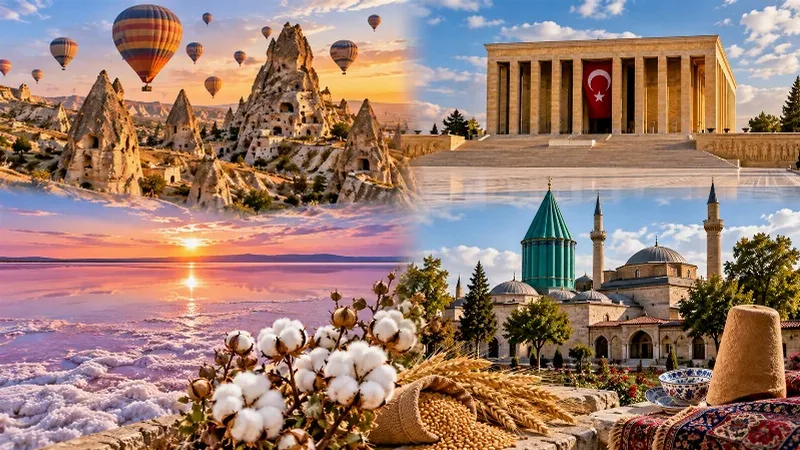
Central Anatolia is the historic heartland of Türkiye, known for its wide plains, extraordinary rock formations, ancient civilizations and traditional towns. From the fairy chimneys of Cappadocia to the cultural landmarks of Ankara and Konya, the region reveals the rich history and natural beauty of inner Anatolia.
Snow Season in Erciyes, Kayseri
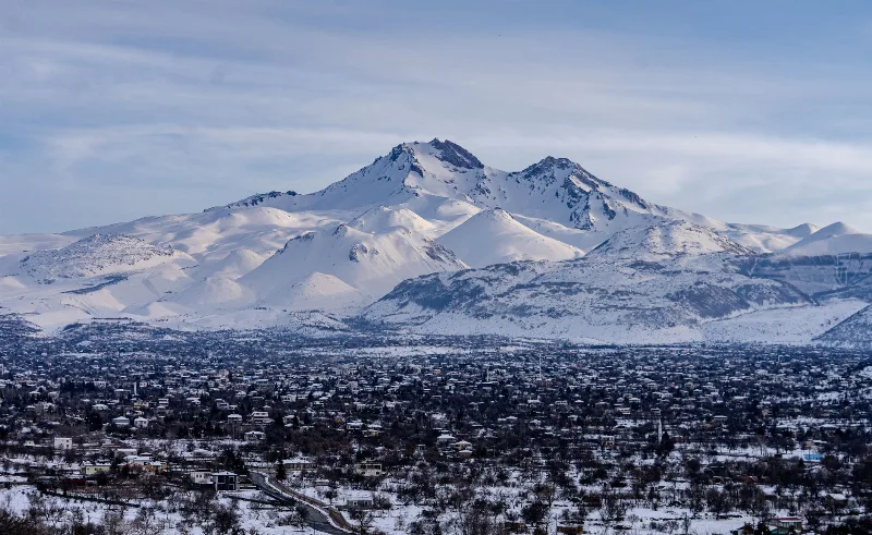
Erciyes, the dormant volcano rising south of Kayseri, carries a reliable snow cover from roughly December into March, transforming its bare upper flanks into one of Central Anatolia's main winter playgrounds. The exact start and end of that cover shifts each year with snowfall and temperature.