
Çatalhöyük: A Neolithic Town on the Konya Plain
Çatalhöyük is a Neolithic and Chalcolithic mound settlement in Konya Province, Türkiye, occupied from around 7500 BCE. Its roof-access houses, painted walls and burials make it one of the most important early farming settlements ever excavated.
Çatalhöyük is a Neolithic and Chalcolithic settlement on the Konya Plain in south-central Türkiye, about 40 kilometres southeast of the city of Konya and close to the modern town of Çumra. The site is made up of two mounds: an eastern mound occupied during the Neolithic period and a smaller western mound occupied later, in the Chalcolithic. Occupation of the eastern mound began around 7500 BCE, which places Çatalhöyük among the earliest known farming settlements anywhere in the world. It was added to the UNESCO World Heritage List in 2012.
Where Çatalhöyük actually stands
The settlement sits in the middle of a wide, flat alluvial plain, on land that was once crossed by channels of the Çarşamba River. In the Neolithic period the surroundings were wetter than they are today, with marshland, small watercourses and patches of woodland within reach of the settlement. Today the plain is almost entirely agricultural, and the two mounds rise as low, grass-covered hills above fields of wheat, sugar beet and other crops.
The nearest sizeable town is Çumra, and the provincial capital, Konya, is the obvious base for a visit. The volcanic peak of Hasan Dağı lies to the southeast and is visible from the plain on clear days; the mound is sometimes associated with the interpretation of one of the site's painted panels, although that reading remains debated among researchers.
Why the settlement is so important
Çatalhöyük is significant because it preserves an unusually detailed picture of how people lived at the moment when hunting and gathering gave way to farming and settled village life in Anatolia. The inhabitants cultivated cereals and pulses, kept sheep and goats, and hunted wild animals including aurochs, equids and deer. They worked obsidian, a volcanic glass obtained from sources in Cappadocia to the north and east, and this trade in raw material shows that even a settlement of this age was connected to a wide network of exchange.
The site is also important for what it says about early social organisation. The houses were built directly against one another, with no streets between them, and the settlement grew outward rather than being planned around open spaces. Estimates of the number of people living there at any one time vary widely, but it is generally accepted that several thousand people were gathered in a single densely built cluster, which is remarkable for the period.
How the town was built
The houses were made of mud brick formed around timber posts and finished with layers of clay plaster. Because the buildings were packed together, entry was normally gained from the roof: a ladder or a steep wooden stair led down from an opening in the ceiling into the main room. Roofs served as the working surface of the settlement, used for movement, for drying crops and for everyday activities.
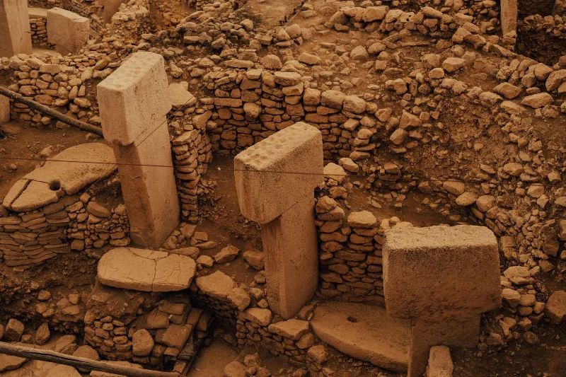
Inside a typical house there was a main room with raised platforms along the walls, a hearth, and a domed oven set into one of the platforms. Smaller side rooms were used for storage. Walls and floors were replastered frequently, sometimes many times over the life of a single building, and the accumulated layers of plaster are one of the reasons the archaeology of the site is so well preserved. When a house reached the end of its use, it was often partly dismantled and a new building was raised on the same spot, producing a long sequence of superimposed structures.
Wall paintings, sculpture and the dead
Çatalhöyük is best known for its decorated interiors. Painted panels include geometric patterns, handprints, and scenes showing human figures alongside animals such as bulls and deer. Some panels show vultures with human figures, and others appear to depict a settlement with a volcanic cone above it. Not all of these images are fully understood, and interpretations continue to be revised as excavation and analysis proceed.
Animal imagery was also present in three dimensions. Moulded heads of cattle, known as bucrania, were set into walls and platforms, sometimes in rows, and animal horns were incorporated into benches and posts. Small clay figurines of humans and animals are common finds; the most famous is a seated female figure found during early excavations, now held in the Museum of Anatolian Civilizations in Ankara.
Human burials were placed beneath the floors of houses, usually under the raised platforms of the main room. Many individuals were buried in a flexed position, and some graves contained grave goods such as beads, pigments or stone objects. The dead were buried inside the domestic space rather than in a separate cemetery, which suggests that ancestors remained part of household life.
What you can see at the site today
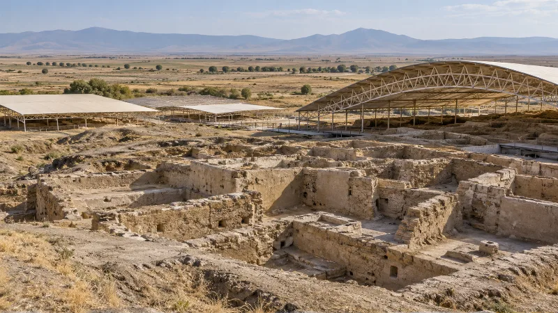
Excavation trenches on the eastern mound expose mud-brick walls, platforms, ovens and plaster floors, and these are visible from a defined visitor route. The site has a visitor and exhibition building that explains the excavation methods and the main findings, and there is a reconstructed house that shows how a building was laid out and how roof access worked in practice. Finds from the excavations are also displayed in museums in Konya and Ankara, so a visit to the mound is best combined with one of those collections if you want to see original objects.
Excavated mud brick deteriorates quickly once exposed to rain, wind and temperature change, so parts of the site are covered or backfilled for protection. What is on view therefore changes over time as excavation seasons progress.
Excavation history
The site was excavated by James Mellaart between 1961 and 1965, work that brought Çatalhöyük to international attention through the quality of its wall paintings and the density of its architecture. After a long gap, a new project led by Ian Hodder began in 1993 and continued for decades, using finer excavation and recording methods together with detailed scientific analysis of plant remains, animal bones, sediments and human remains. Research at the site still continues under Turkish and international direction, and conservation of the exposed mud brick is an ongoing challenge.
Getting there and practical information
The site is reached by road from Konya, a drive of roughly an hour through the plain, passing Çumra on the way. There is no practical public transport directly to the mound, so a car, taxi or organised transfer is normally needed. Signage from the main road leads to the site entrance, where parking is available. The visitor facilities are seasonal in their opening patterns and hours can change with excavation work, so it is worth confirming current opening arrangements before setting out, particularly outside the main spring-to-autumn period.
Weather and the best time to visit
The Konya Plain has a continental climate. Summers are hot, dry and bright, with daytime temperatures that make walking on exposed ground uncomfortable, especially in the middle of the day. Winters are cold, often with frost, and the plain can see snow. Spring, roughly April to early June, and early autumn, roughly September to October, are the most comfortable periods: temperatures are moderate, the plain is green in spring, and the light on the mounds is good for seeing the excavated architecture. Rain is most likely in spring, which can make the clay ground slippery.
Terrain, walking and accessibility
The walk from the visitor facilities to the excavated areas is short but largely over uneven ground. Paths and wooden walkways cross the site, and there are some steps and slopes. The surface can be dusty in dry weather and muddy after rain, and there is very little shade, so a hat, water and sun protection are useful in warm months. Visitors with reduced mobility should ask at the entrance about the most suitable route, since parts of the site are better surfaced than others.
Nearby places to combine with a visit
Konya itself is the natural companion to a trip to Çatalhöyük, with its Seljuk-era monuments, the Alaeddin Hill area and the Mevlana Museum, as well as the city's archaeological museum. Çumra is the closest town and an obvious stopping point. The surrounding Konya Plain contains other prehistoric mounds, including Boncuklu Höyük, which is earlier than Çatalhöyük and has been investigated as part of the same research effort to understand the transition to farming. Further afield, the volcanic landscapes and crater lakes around Karapınar offer a very different kind of scenery within a reasonable drive.
Things worth knowing before you go
- The name is usually pronounced with the stress on the final syllable, and it refers to the forked shape of the mound between two old water channels.
- The two mounds are not the same age: the eastern mound is Neolithic, the western mound Chalcolithic.
- Many of the most famous objects and paintings are in museums rather than at the site itself.
- Exposed mud brick changes constantly, so what previous visitors photographed may look different on your visit.
- Allow at least a couple of hours if you want to read the interpretation panels and walk the whole route slowly.
- Combining the mound with Konya makes the journey worthwhile, since the drive alone is considerable for a short stop.
Related content
Çatalhöyük
Çatalhöyük is a Neolithic and Chalcolithic settlement mound in the Konya Plain whose tightly packed mudbrick houses, painted walls and floor burials changed how archaeologists understand early farming communities. This article explains what survives at the site, how it was excavated and what a visitor can realistically expect to see.
Konya
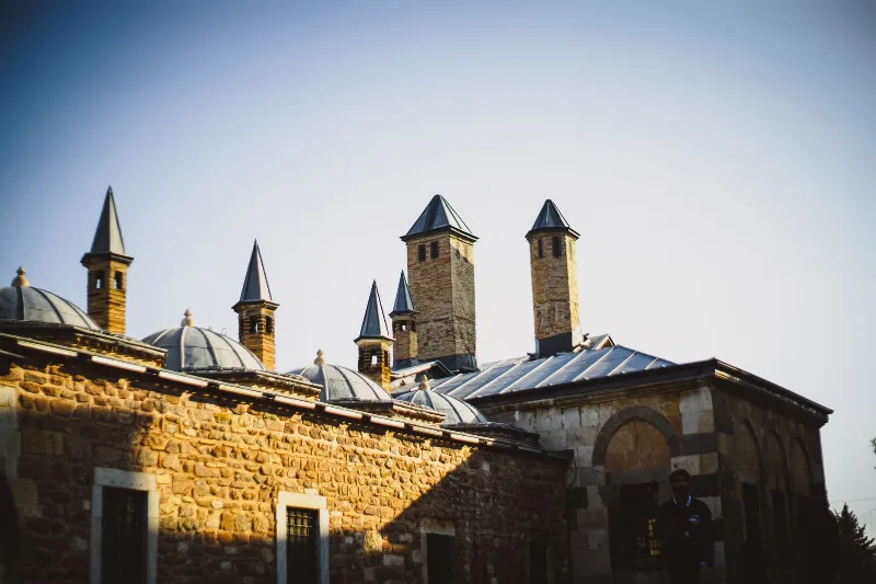
Konya is a city known for its spiritual essence and cultural heritage, home to the Mevlana Museum and the whirling dervishes.
Cappadocia
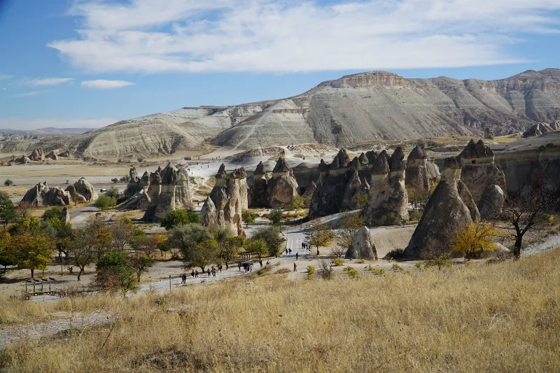
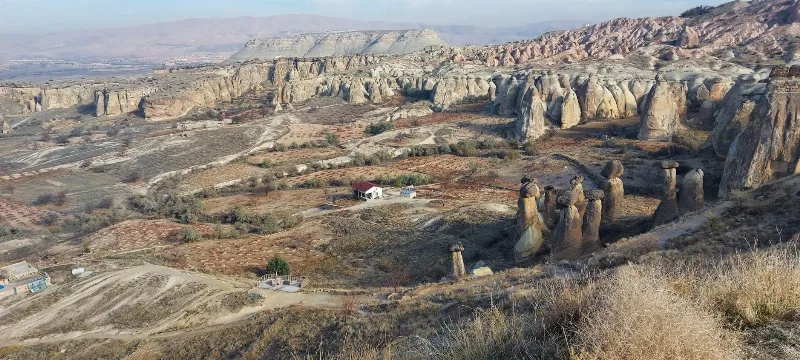
Cappadocia is a region of Central Anatolia in Turkey defined by eroded volcanic tuff, rock-cut Byzantine churches and multi-level underground cities. This guide explains how the landscape formed, what the main valleys and sites actually contain, and what to know before visiting.
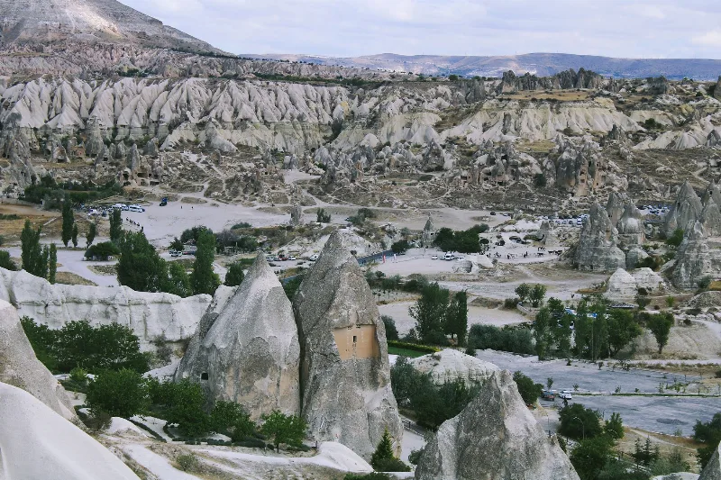
4-Day Cappadocia and Konya Route
A four-day linear journey from the rock valleys of Cappadocia to the Seljuk city of Konya, linking cave churches, underground cities and the Ihlara Valley with the Mevlana Museum on the central Anatolian plateau.
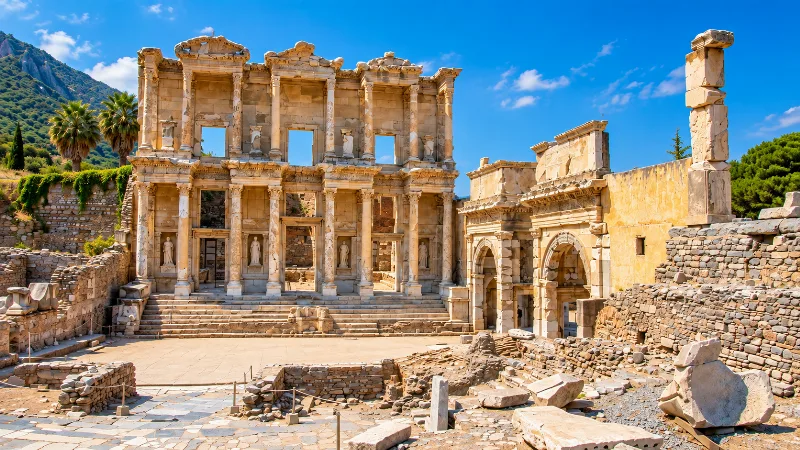
Historic Places
Ancient cities, monuments, castles and archaeological sites across Türkiye.
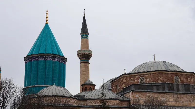
Konya and the Legacy of Rumi
Konya, a high-plateau city in central Türkiye, is closely tied to the life and writings of Rumi, the thirteenth-century poet and mystic. Its Seljuk architecture, Mevlevi traditions and local cuisine give the city a distinct cultural character.