Niğde
Niğde is an inland city in southern Central Anatolia, close to the Taurus foothills and the volcanic landscapes of Cappadocia. The provincial capital contains Seljuk-era architecture, while the wider province includes orchards, mountain terrain and historic settlements. It is a useful introduction to an area of Türkiye where the central plateau meets higher southern ranges.
Niğde is an inland city in southern Central Anatolia, close to the Taurus foothills and the volcanic landscapes of Cappadocia. The provincial capital contains Seljuk-era architecture, while the wider province includes orchards, mountain terrain and historic settlements. It is a useful introduction to an area of Türkiye where the central plateau meets higher southern ranges.
Geography and Landscape
The province stretches from cultivated plains to the slopes of the Aladağlar Mountains and other elevated terrain. Orchards and farming districts lie around accessible valleys, while the southeastern and southern highlands have more rugged relief. Volcanic geological history influences parts of the wider region. This mixture of agricultural basins and mountains creates distinct settings within a relatively compact part of central Türkiye.
Several places associated with neighbouring Cappadocia lie outside Niğde's provincial boundary. Niğde's own attractions instead combine rock-cut heritage, medieval architecture, farms and mountain landscapes within its administrative area.
History and Heritage
Niğde has been shaped by ancient Anatolian settlements and later Roman, Byzantine, Seljuk and Ottoman periods. Seljuk monuments are particularly significant in the city, reflecting the importance of the region in medieval Anatolia. Historic trade routes linked the area to Cappadocia and the Mediterranean approaches. The old centre includes religious buildings and civic remains within a modern provincial capital.
For a fuller understanding of Niğde, it helps to separate the provincial capital from the wider administrative area. The main urban centre contains everyday commercial and civic life, while individual districts preserve their own landmarks, settlement patterns and rural traditions. The location of a site within the province matters: a landscape, archaeological monument or coastal settlement may require travel well beyond the capital. Reading a provincial map alongside local district names makes the variety of the area clearer.
Places to Visit
The Alaaddin Mosque and other Seljuk-period structures are among the city's principal monuments. Niğde Castle and the surrounding historical quarter provide a view of the older urban setting. Outside the capital, the Aladağlar area is known for high mountain scenery and trekking routes. The Gümüşler Monastery, a rock-cut historical complex, offers another distinctive site within the province.
Local Culture and Cuisine
Agriculture, especially apple production in some districts, contributes to Niğde's regional identity. Local meals draw on grains, legumes, meat and dairy products common to inland Anatolia. Traditional markets connect growers and townspeople, while crafts and domestic architecture reflect older settlement patterns. The variety between plateau farms and mountain villages is an important part of the province's culture.
Climate and Seasons
Niğde experiences continental conditions, including hot or warm summers and cold winters in the city and plateau. High mountain areas have much lower temperatures and longer-lasting snow. Spring brings agricultural growth, and late summer and autumn are connected with harvest seasons. Mountain activities are strongly dependent on elevation, snow cover and weather, which can change more quickly than in the city.
Getting There and Around
Road routes connect Niğde with Kayseri, Aksaray and Adana. The province can also be reached through regional rail and bus connections, depending on the route. Trips to Gümüşler or the Aladağlar mountains require travel beyond the city centre. Because geological and historical attractions are spread between districts, transport plans should distinguish short urban visits from longer excursions into the surrounding countryside.
Discover Food in Türkiye
All food →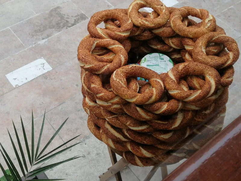
Simit
Simit is a ring-shaped Turkish bread covered in sesame seeds, strongly associated with Istanbul and sold as everyday street food. It is eaten fresh, most often with tea, and has a crisp crust around a chewy crumb.
Explore →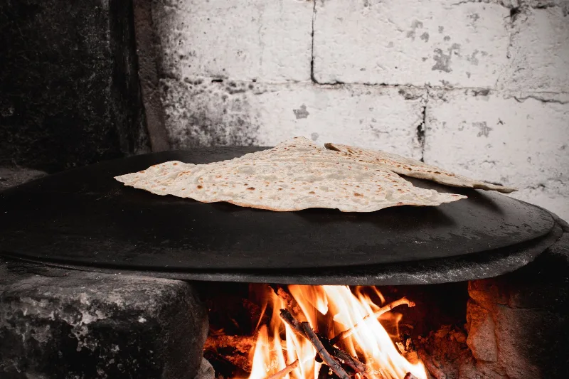
Bazlama
Bazlama is a soft, thick Turkish flatbread made from a leavened dough and cooked on a hot griddle. It is a staple of village baking across Anatolia, eaten warm with butter or used to wrap other foods.
Explore →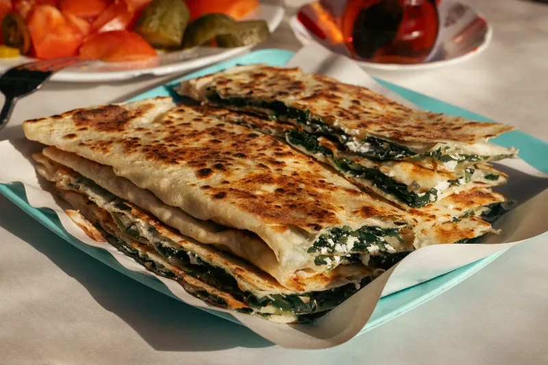
Gözleme
Gözleme is a thin, hand-rolled Anatolian flatbread folded around savory fillings such as cheese, spinach, or minced meat and cooked on a sac griddle. The article covers its regional variations, cooking method, texture, and traditional serving style.
Explore →Related content
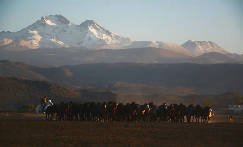
Kayseri
Kayseri is a major inland city in Central Anatolia, set on a plain at the foot of Mount Erciyes, and known for its Seljuk architecture, its manufacturing economy and a food culture built on pastırma and mantı.
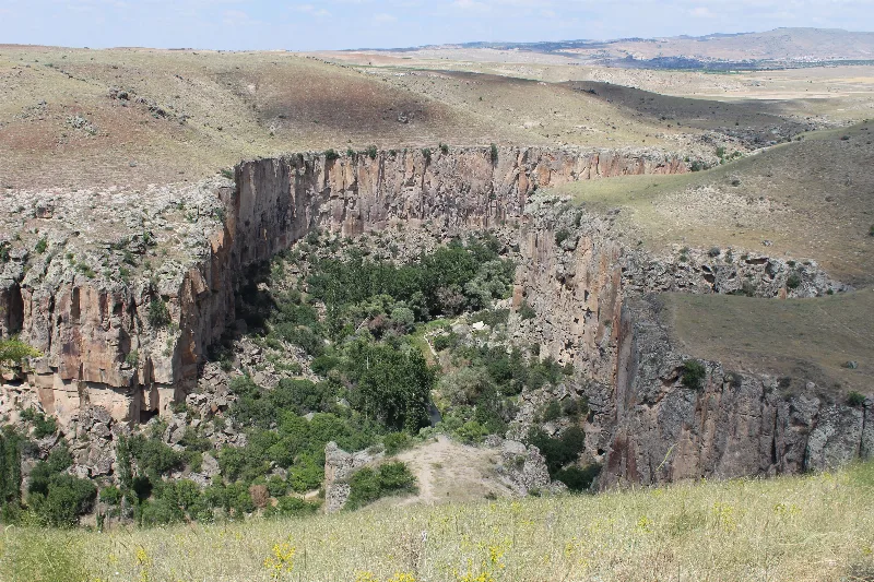
Aksaray
Explore Aksaray, Central Anatolia: history, standout sights, landscapes, local food and practical travel advice for an unforgettable journey in Türkiye.
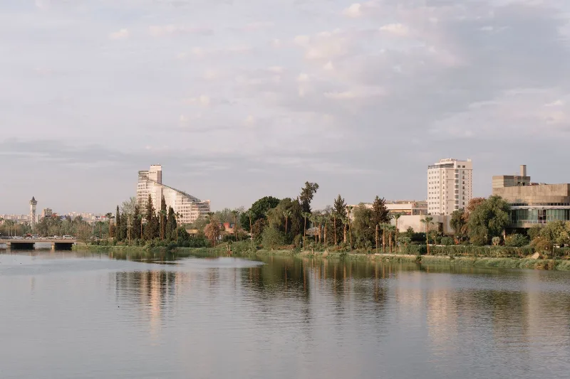
Adana
Adana is a major metropolitan city in southern Türkiye and the urban heart of the Çukurova plain, defined by the Seyhan River, a Roman-era stone bridge and a deeply rooted kebab and agricultural culture.
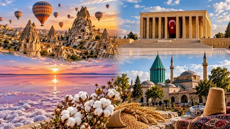
Central Anatolia Region
Central Anatolia is the historic heartland of Türkiye, known for its wide plains, extraordinary rock formations, ancient civilizations and traditional towns. From the fairy chimneys of Cappadocia to the cultural landmarks of Ankara and Konya, the region reveals the rich history and natural beauty of inner Anatolia.
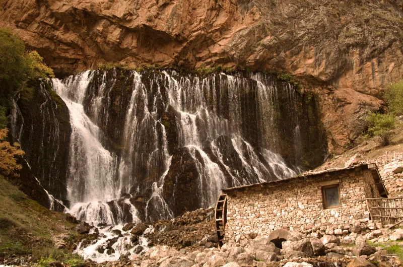
Kapuzbaşı Waterfall
Kapuzbaşı Waterfall is a cluster of karst spring waterfalls in the Aladağlar Mountains of Kayseri, Turkey. Fed by limestone springs, it forms a distinctive multi-chute cascade that varies with snowmelt and season.
Nevşehir
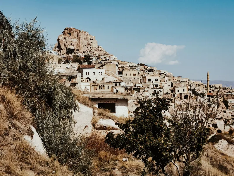
Nevşehir is a provincial capital in Central Anatolia and the main urban base for the rock landscapes, underground settlements and balloon flights of the Cappadocia region.