Iğdır
Iğdır is an eastern border province of Türkiye, located near Armenia, Azerbaijan's Nakhchivan exclave and Iran. Its low-lying agricultural plain forms a striking contrast with the much higher landscapes of Mount Ararat, known in Turkish as Ağrı Dağı. The provincial capital is a compact regional centre, and the area's distinctive climate sets it.
Iğdır is an eastern border province of Türkiye, located near Armenia, Azerbaijan's Nakhchivan exclave and Iran. Its low-lying agricultural plain forms a striking contrast with the much higher landscapes of Mount Ararat, known in Turkish as Ağrı Dağı. The provincial capital is a compact regional centre, and the area's distinctive climate sets it apart from many other eastern Anatolian provinces.
Geography and Landscape
The Iğdır Plain lies along the Aras River basin, at a relatively low elevation compared with surrounding highlands. Agricultural fields and orchards extend through the valley, while Mount Ararat rises dramatically on the horizon. The transition from fertile plain to volcanic mountain terrain creates a powerful geographic contrast. River corridors and border geography have also shaped patterns of settlement and trade. The relationship between the Aras valley and surrounding volcanic highlands gives Iğdır a geographic character unlike most neighbouring provinces. The mountains remain an ever-present visual backdrop.
History and Heritage
Iğdır's history is connected to the changing states and populations of the Caucasus and eastern Anatolia. Communities in the area have experienced different political boundaries and trading relationships over time. Archaeological and historical places in the wider region reflect this borderland position. The province's present administrative identity is newer than the much older settlements and cultural connections of the Aras valley. The province’s borderland position has influenced language, trade and everyday culture. Its present landscape is a combination of cultivated valley settlements and high mountain geography.
Places to Visit
Mount Ararat is the province's most prominent natural landmark, visible from the plain in suitable weather. Karakale ruins and the surroundings of the Aras valley represent additional historical and landscape interests. Rural roads reveal orchards, cultivated fields and mountain views. Iğdır's position near several international borders is itself a defining geographical feature, although crossing arrangements and access are governed by current regulations.
Local Culture and Cuisine
Agriculture plays an important role in local life, supported by the warmer valley conditions. Orchards, field crops and livestock products shape seasonal markets and home cooking. Iğdır's social history reflects influences from eastern Anatolia and the southern Caucasus, including Azerbaijani and Kurdish cultural traditions. Everyday neighbourhood and market life offers an introduction to this cultural mixture.
Climate and Seasons
The Iğdır Plain has comparatively warm and dry conditions for eastern Türkiye, largely because of its lower elevation and sheltered location. Summers can be hot, while winters are generally less severe than in many nearby mountain towns. The slopes of Mount Ararat have a completely different alpine climate. Seasonal contrasts are particularly evident when observing snow-covered peaks from agricultural lowlands.
Getting There and Around
Iğdır has an airport and road connections to Kars, Ağrı and other neighbouring provinces, subject to current services. The capital provides a base for journeys across the plain. Exploring more remote mountain or border areas requires attention to road conditions and applicable restrictions. Distances on the map may be misleading because high mountains and international boundaries limit direct routes.
Discover Food in Türkiye
All food →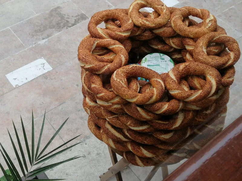
Simit
Simit is a ring-shaped Turkish bread covered in sesame seeds, strongly associated with Istanbul and sold as everyday street food. It is eaten fresh, most often with tea, and has a crisp crust around a chewy crumb.
Explore →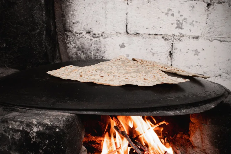
Bazlama
Bazlama is a soft, thick Turkish flatbread made from a leavened dough and cooked on a hot griddle. It is a staple of village baking across Anatolia, eaten warm with butter or used to wrap other foods.
Explore →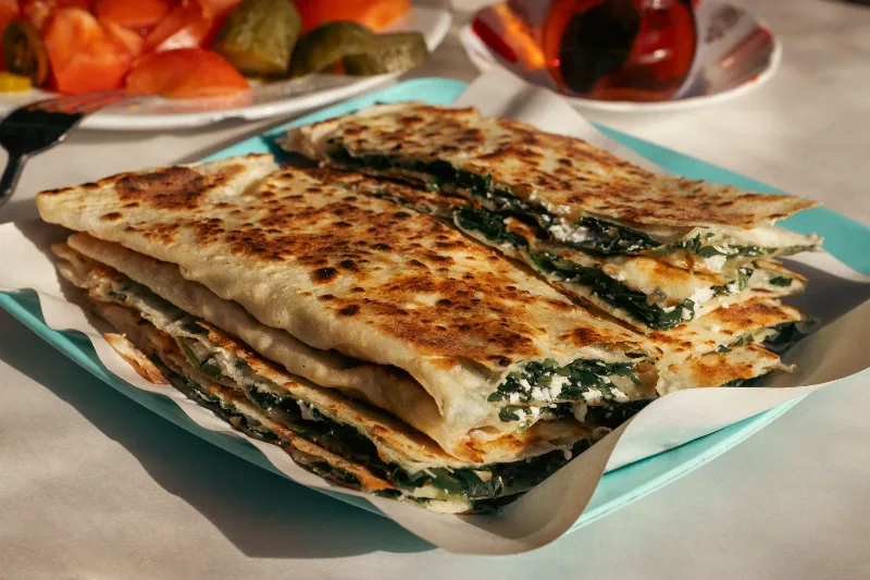
Gözleme
Gözleme is a thin, hand-rolled Anatolian flatbread folded around savory fillings such as cheese, spinach, or minced meat and cooked on a sac griddle. The article covers its regional variations, cooking method, texture, and traditional serving style.
Explore →Related content
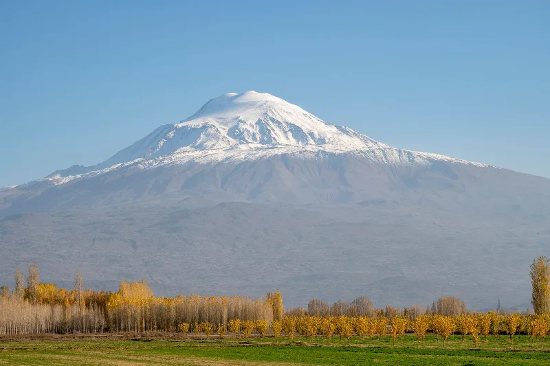
Mount Ararat
Mount Ararat (Ağrı Dağı) is a dormant, snow-capped stratovolcano in eastern Turkey and the country's highest mountain, rising in two distinct cones above the Iğdır Plain near the Iranian border.
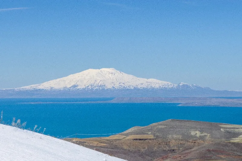
Ağrı
Explore Ağrı, eastern Türkiye: history, standout sights, landscapes, local food and practical travel advice for an unforgettable journey in Türkiye.
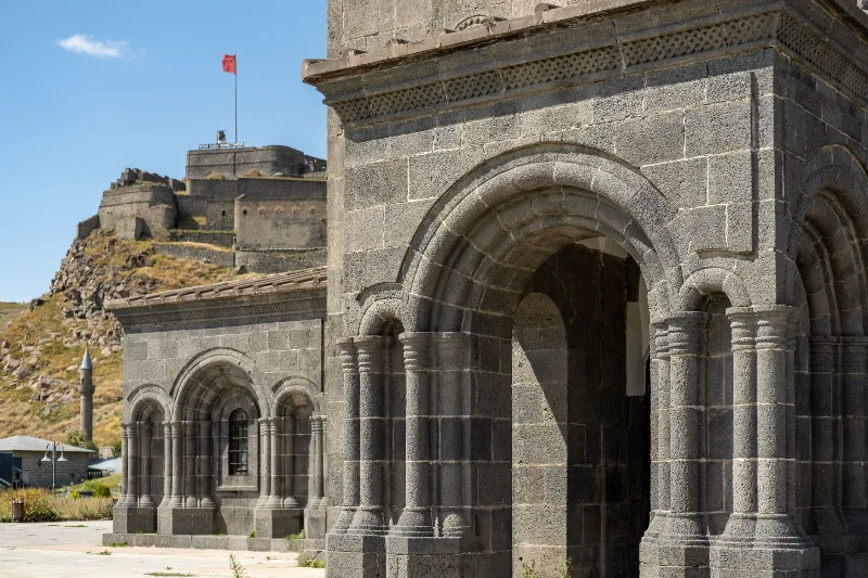
Kars
Kars is a high-plateau city in northeastern Türkiye, close to the Armenian border, shaped by decades of Russian rule and known for its cheesemaking tradition and the nearby medieval ruins of Ani. It serves as the main urban base for exploring this remote corner of Eastern Anatolia.
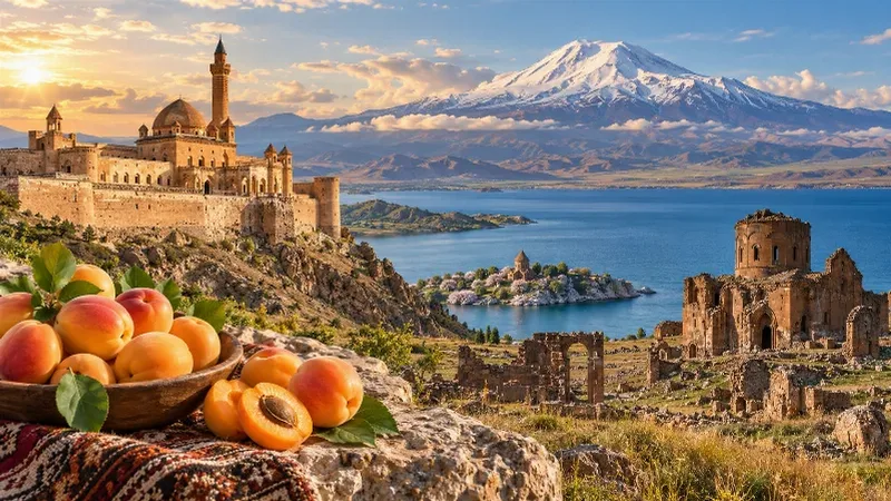
Eastern Anatolia Region
Eastern Anatolia is a region of majestic mountains, vast highlands, beautiful lakes and ancient cultural heritage. Home to Mount Ararat, Lake Van and historic settlements, it offers some of Türkiye's most dramatic natural landscapes alongside distinctive architecture, local traditions and regional cuisine.
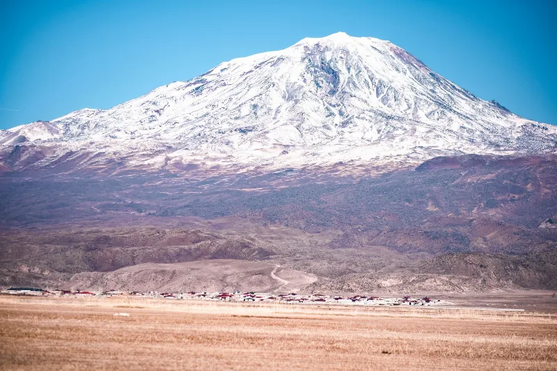
Mount Ararat Adventures
Mount Ararat, or Ağrı Dağı, is Türkiye's highest mountain, a snow-capped volcano in the far east that draws hikers with its high camps, wide plains and layers of legend.
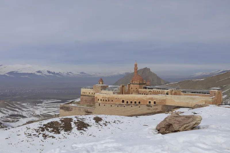
Ishak Pasha Palace
Ishak Pasha Palace is a late Ottoman palace complex in Doğubayazıt, Ağrı Province, eastern Turkey. Built between the late 17th and late 18th centuries, it is known for its stone architecture, which combines Ottoman, Seljuk, and Persian elements.