Turunç Bay
Turunç sits in a narrow green amphitheatre south of Marmaris. Pine-covered slopes surround its compact waterfront and sheltered Mediterranean waters.
Beyond the winding roads south of Marmaris, Turunç appears between steep pine-covered slopes. Its village waterfront occupies a narrow bay, and the surrounding hills frame almost every view toward the water. The setting is distinctly different from the open seafront of Marmaris.
A Village Inside the Hills
Turunç Bay is found within a sheltered inlet south of Marmaris. Seen within the wider landscape of Marmaris, Muğla, the coastline includes pine-covered mountains rising close behind the village. The orientation of the land gives the waterfront its recognisable shape, while the view from the shore opens toward the neighbouring coastal terrain. The precise coastal setting matters here: a village waterfront inside a dramatic amphitheatre of hills. This is the main reason the area deserves an individual entry rather than being grouped with the nearest large resort town.
Coarse Sand and Bay Water
The beach is characterised by a compact beach with coarse sand and pebbly areas. In the water, visitors encounter clear water enclosed by steep green hills. These details help distinguish this shore from other beaches in the region: sediment, depth and whether the water is open or enclosed all shape the visible coastal environment. The material underfoot and the way the coast shelves into the water vary naturally along shorelines. At Turunç Bay, the defining combination is a compact beach with coarse sand and pebbly areas, alongside clear water enclosed by steep green hills.
The Pine-Covered Slopes
The surroundings include pine-covered mountains rising close behind the village. The connection between the shore and this wider terrain is central to the identity of Turunç Bay. Looking back from the beach, or along the coastline, reveals features that are easy to overlook when focusing only on the water. The landscape is best understood as a connected system of landforms and vegetation, with pine-covered mountains rising close behind the village. The surrounding geography remains visible even where the beach itself is comparatively small.
Marmaris and İçmeler Nearby
Within reach of the area are İçmeler, Marmaris and the coves of the Bozburun-facing coastline. These are useful geographical points of reference for exploring beyond the immediate shore. They connect a visit to Turunç Bay with the cultural and natural features that distinguish this part of Türkiye. These nearby places offer different perspectives on the region. In particular, İçmeler, Marmaris and the coves of the Bozburun-facing coastline show how coastline, settlements and local history can sit close together without having the same identity.
The Mediterranean Year
The region is associated with warm Mediterranean summers and pleasant coastal walking seasons. The shore takes on a different appearance under the strong light of summer and the softer conditions of spring or autumn. Wind and day-to-day weather can affect the sea independently of the season, so the view is not identical throughout the year. Travellers visiting mainly for coastal scenery can appreciate the area outside the busiest summer months as well. For swimming, conditions should always be assessed for the particular day.
The Winding Road to Turunç
Travellers can approach the destination by a winding road through the hills from Marmaris and İçmeler. Its position in Marmaris, Muğla is worth considering when planning a broader regional route. The final stretch of access reflects whether the beach lies beside a town, inside a bay or within a more rural landscape. The route gives a sense of the area before reaching the sand or waterfront. Regional road and public-access arrangements may change, particularly at protected locations.
Related content
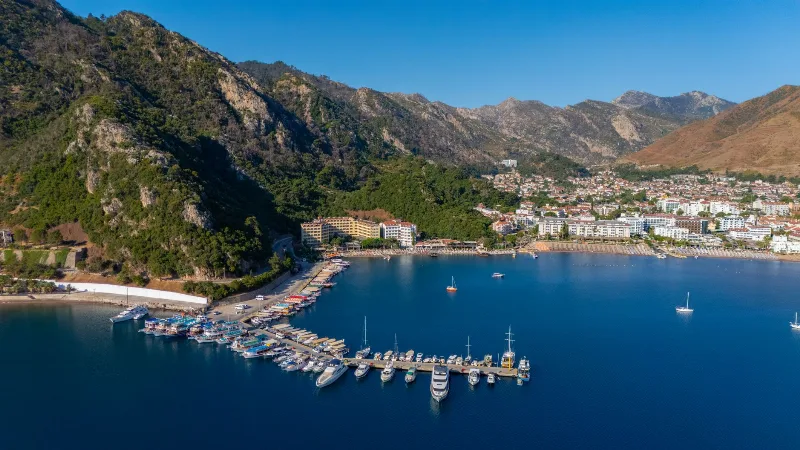
Marmaris
Marmaris is a dynamic port city on the Turquoise Coast, known for its vibrant marinas and lively nightlife, offering scenic harbor views.
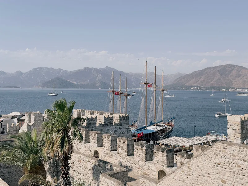
Marmaris
Marmaris is a coastal district and resort town in Muğla Province, southwestern Türkiye, built around a large sheltered marina and an Ottoman-era castle, and serving as a starting point for boat trips along the Bozburun Peninsula.
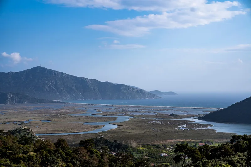
Muğla
Muğla is a captivating province in southwestern Türkiye, renowned for its stunning Aegean coastline and rich cultural heritage.
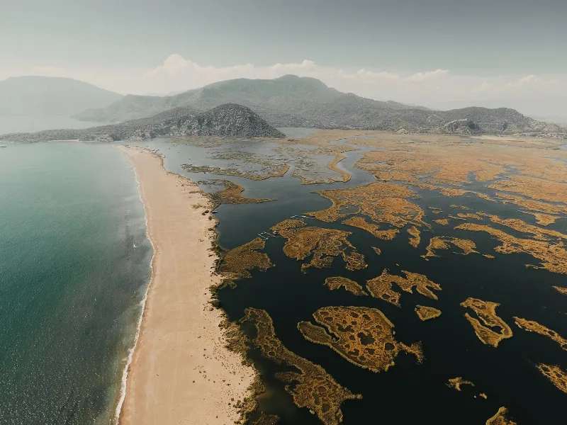
4-Day Marmaris and Dalyan Route
A four-day linear route that starts in Marmaris, crosses the Gulf of Gökova and Lake Köyceğiz, and ends around the river, rock tombs and turtle beach of Dalyan.
6-Day Mediterranean Coast Route: Antalya to Marmaris
A six-day linear route along Türkiye's Mediterranean coast, linking Antalya, Olympos, Demre, Kekova, Kaş, Kalkan, Patara, Fethiye and Dalyan before finishing in Marmaris. It mixes ancient cities, long beaches and small harbour towns on a continuous westward drive.
Selimiye Bay
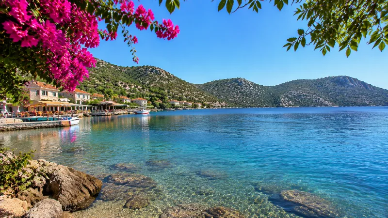
Selimiye’s protected harbour sits deep within the Bozburun Peninsula. The village waterfront faces still-looking water and rugged hills rather than a broad sandy beach.